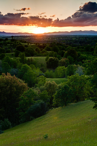
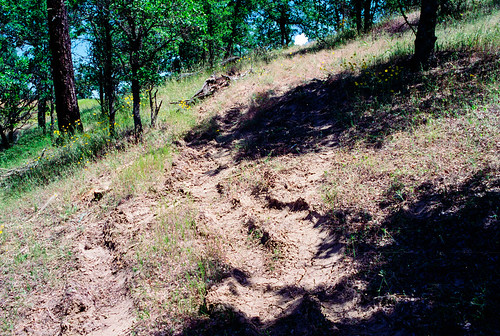
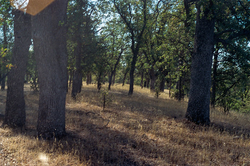
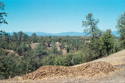
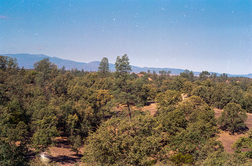
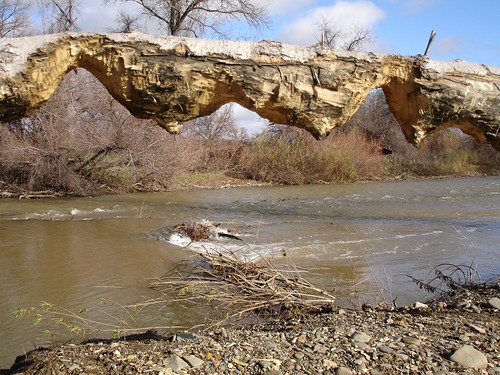
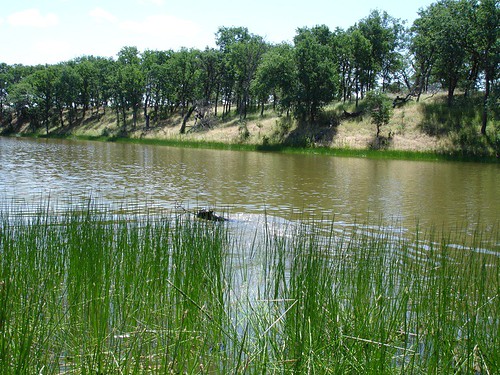
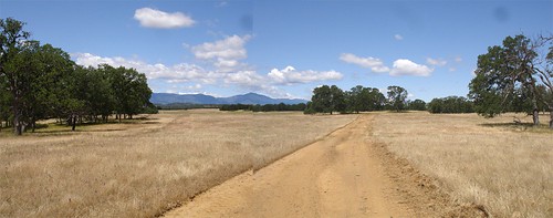
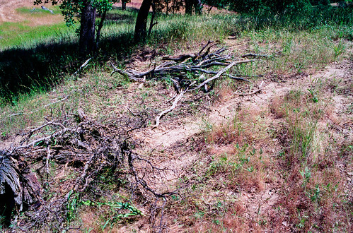
Elevation of Vestal Rd, Red Bluff, CA, USA
Location: United States > California > Tehama County > Red Bluff >
Longitude: -122.54795
Latitude: 40.210111
Elevation: 232m / 761feet
Barometric Pressure: 99KPa
Related Photos:
Topographic Map of Vestal Rd, Red Bluff, CA, USA
Find elevation by address:

Places near Vestal Rd, Red Bluff, CA, USA:
Vestal Road
Colyer Springs Rd, Red Bluff, CA, USA
Red Bank Rd, Red Bluff, CA, USA
Colyer Springs Rd, Red Bluff, CA, USA
16825 Benson Rd
Red Bluff, CA, USA
17225 Dapple Gray Rd
Pryor Rd, Red Bluff, CA, USA
3243 Ponder Way
3035 Ponder Way
Lower Gas Point Rd, Cottonwood, CA, USA
18555 Live Oak Rd
16622 Gas Point Rd
13711 Gas Point Rd
7233 Amador Ct
High Flats Road
Amador Court
13149 Gas Point Rd
Rancho Tehama Reserve
Nirvana Ranch Rd, Red Bluff, CA, USA
Recent Searches:
- Elevation of Corso Fratelli Cairoli, 35, Macerata MC, Italy
- Elevation of Tallevast Rd, Sarasota, FL, USA
- Elevation of 4th St E, Sonoma, CA, USA
- Elevation of Black Hollow Rd, Pennsdale, PA, USA
- Elevation of Oakland Ave, Williamsport, PA, USA
- Elevation of Pedrógão Grande, Portugal
- Elevation of Klee Dr, Martinsburg, WV, USA
- Elevation of Via Roma, Pieranica CR, Italy
- Elevation of Tavkvetili Mountain, Georgia
- Elevation of Hartfords Bluff Cir, Mt Pleasant, SC, USA
