Elevation of Rd, Harrington, DE, USA

Location: United States > Delaware > Kent County > Harrington >

Longitude: -75.692584

Latitude: 38.898631

Elevation: 17m / 56feet

Barometric Pressure: 101KPa

Elevation Map:

elevation map of Rd, Harrington, DE, USA

Satellite Map:

Satellite map of Rd, Harrington, DE, USA

Related Photos:

topv111 geotagged caroline maryland easternshore delmarva choptank
Who will sit there?
barn pen statefair fair pigs ag farms hay pens livestock hogs pigpen delawarestatefair livestockshow livestockjudging harringtonde livestockpen kentcountyde
Delaware State Fair - 2012
tag3 taggedout project 50mm tag2 tag1 bokeh manualfocus extensiontube omlens 505050 alnussp
Sparkles - view in Lightbox by pressing 'L'
© Barney Vincelette
geotagged geo:lat=387833704999754 geo:lon=757071233125274
Stateline Marker Old Firetower
longexposure autumn trees reflection fall stream raw gimp hdr potw magicofnature 8secs qtpfsgui brownsbranchcountypark
Photowalk 46 of 52 - Browns Branch County Park - POTW
county new leica portrait woman man male castle philadelphia public female night work studio de actors kent photographer photoshoot modeling pennsylvania models free posing headshot chester pa portraiture acting m8 actor philly delaware practice portfolio wilmington headshots poses dover kop exton brandywine chestercounty kingofprussia phoenixville delawarecounty tfcd newcastlecounty leicam8 willstotler servicesinkind
Seeking Philadelphia / King of Prussia / Dover Area Models and Actors - TFCD
15fav usa church cemetery graveyard topv111 geotagged maryland methodist delmarva
Blest be the tie that binds...
railroad yard train ns engine locomotive delaware harrington norfolksouthern
Phantom Worker
reflection geotagged maryland scene delmarva
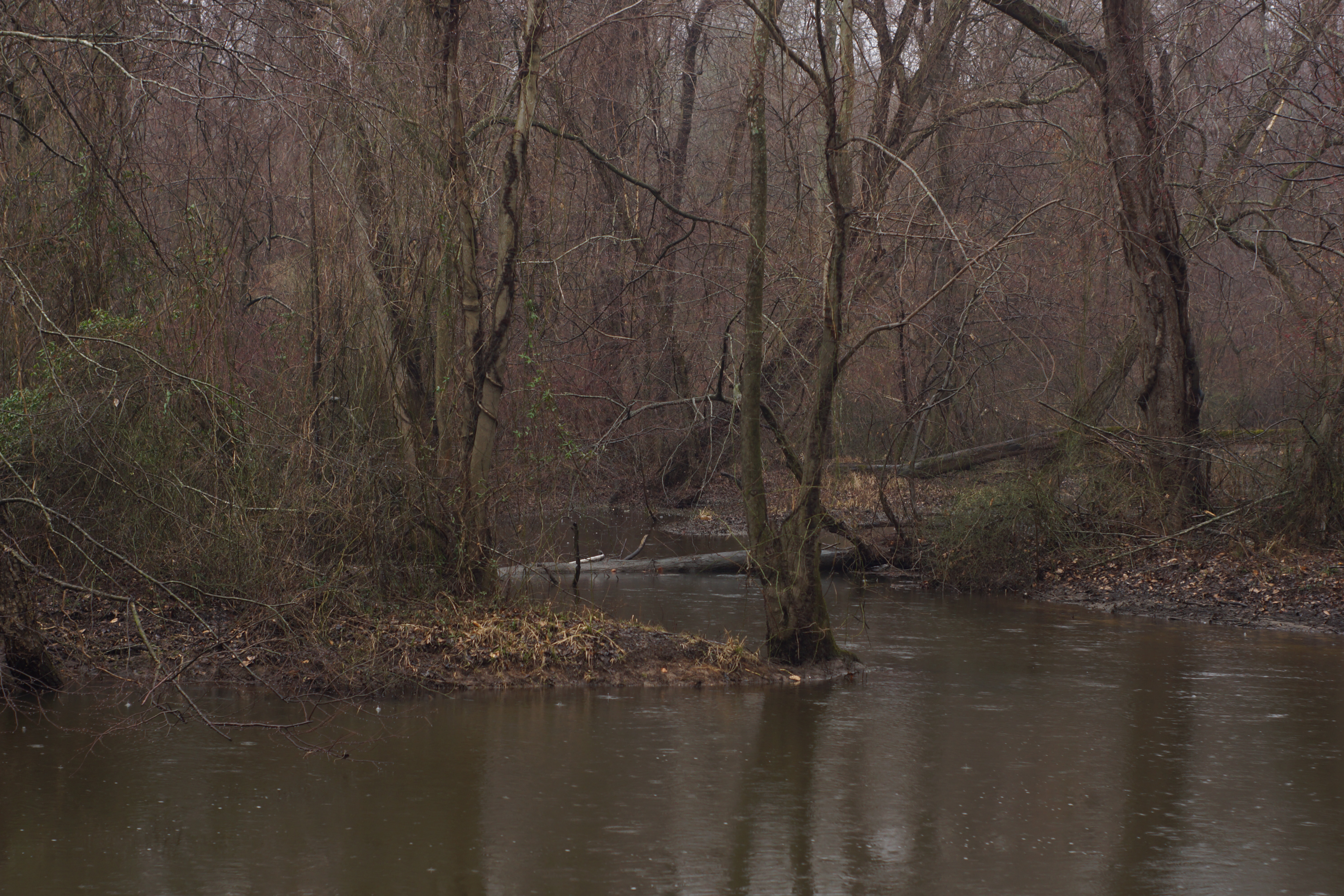
Upper Choptank River 2
miniature fake shift delaware agriculture tilt grainelevator canond30 tiltshift miniaturefake harringtondel
Grain Elevator, Del.
bird pheucticusmelanocephalus
Black-headed Grosbeak
beer adamhall trackhead trackheadstudios trackheadxxx
TrackHead Studios - National Bohemian
geotagged geo:lat=387829065704149 geo:lon=75708635158841
Plaque at Stateline Marker
signs ford felton delaware esso feltoncommunityfirehall
Felton Delaware
boy baby girl field clouds photoshop children landscape open sister brother farm siblings kites sailor spaces easternshoreofmaryland lightroom20 startinganewtrend nocluewhythemapissayingdeitsonthemdside
{ kites are the new parasol }
plants tree forest spring seasons unitedstates conservation maryland science watershed environment restoration states geography terrestrial partnership chesapeakebay photoessay loblollypine carolinecounty geocity geo:country=unitedstates camera:make=canon exif:make=canon camera:model=canoneos5dmarkii geostate exif:model=canoneos5dmarkii chesapeakebayprogram exif:lens=ef24105mmf4lisusm exif:focallength=24mm exif:aperture=ƒ63 exif:isospeed=100
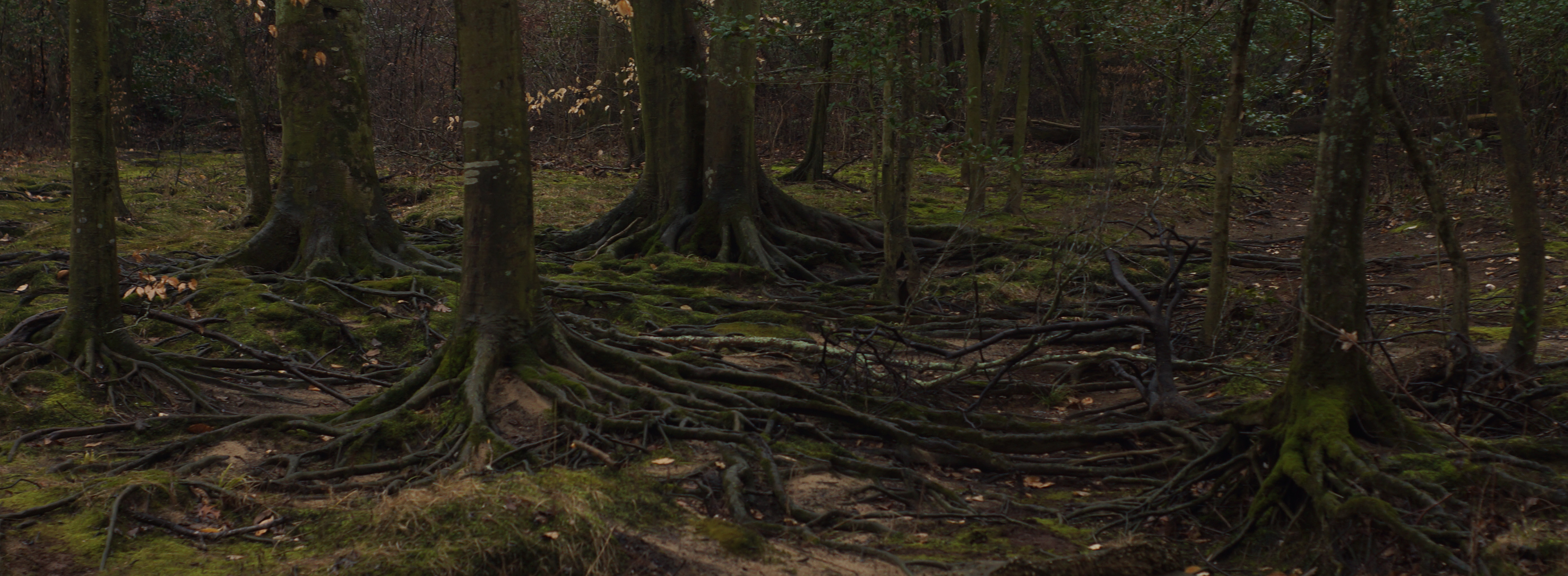
Loblolly pines and forest floor looking straight ahead
plants tree forest spring seasons unitedstates conservation maryland science watershed environment restoration states geography terrestrial partnership chesapeakebay photoessay loblollypine carolinecounty geocity geo:country=unitedstates camera:make=canon exif:make=canon camera:model=canoneos5dmarkii geostate exif:model=canoneos5dmarkii chesapeakebayprogram exif:lens=ef24105mmf4lisusm exif:focallength=105mm exif:aperture=ƒ63 exif:isospeed=100
Loblolly pines looking straight ahead
forest spring seasons unitedstates conservation maryland things science watershed environment restoration states geography bog partnership wetland photoessay carolinecounty geocity geo:country=unitedstates exif:focallength=18mm camera:make=nikoncorporation camera:model=nikond60 exif:make=nikoncorporation exif:model=nikond60 exif:lens=180550mmf3556 geostate chesapeakebayprogram exif:aperture=ƒ35 exif:isospeed=200
Moss and grass growing on tree in bog
tree morninglight spring 365 365community
(109/365)~~the 12 stages of the tree,stage 4
forest spring seasons unitedstates conservation maryland things science watershed environment restoration states geography bog partnership wetland chesapeakebay photoessay carolinecounty geocity geo:country=unitedstates camera:make=canon exif:make=canon camera:model=canoneos5dmarkii geostate exif:model=canoneos5dmarkii chesapeakebayprogram exif:lens=ef24105mmf4lisusm exif:focallength=32mm exif:aperture=ƒ40 exif:isospeed=100
Bog on Nick Carter's property in Cariline County, Md. 01
animals forest spring seasons unitedstates reptile conservation maryland science lizard watershed environment restoration states geography partnership chesapeakebay photoessay carolinecounty easternfencelizard geocity geo:country=unitedstates camera:make=canon exif:make=canon camera:model=canoneos5dmarkii geostate exif:model=canoneos5dmarkii chesapeakebayprogram exif:lens=ef24105mmf4lisusm exif:aperture=ƒ63 exif:focallength=35mm exif:isospeed=100
Eastern fence lizard on fallen tree 01
plants fern forest spring seasons unitedstates conservation maryland things science watershed environment restoration states geography bog terrestrial partnership wetland chesapeakebay photoessay cinnamonfern carolinecounty geocity geo:country=unitedstates camera:make=canon exif:make=canon camera:model=canoneos5dmarkii geostate exif:model=canoneos5dmarkii chesapeakebayprogram exif:lens=ef24105mmf4lisusm exif:focallength=105mm exif:aperture=ƒ45 exif:isospeed=100
Cinnamon fern 01
forest spring seasons unitedstates conservation maryland things science watershed environment restoration states geography bog partnership wetland chesapeakebay photoessay carolinecounty geocity geo:country=unitedstates camera:make=canon exif:make=canon camera:model=canoneos5dmarkii geostate exif:model=canoneos5dmarkii chesapeakebayprogram exif:lens=ef24105mmf4lisusm exif:focallength=105mm exif:aperture=ƒ45 exif:isospeed=100
Bog on Nick Carter's property in Cariline County, Md. 02
spring seasons unitedstates dam conservation maryland things science watershed environment restoration states geography partnership chesapeakebay waterbodies photoessay carolinecounty choptankriver geocity geo:country=unitedstates camera:make=canon exif:make=canon monitoringstation camera:model=canoneos5dmarkii geostate exif:model=canoneos5dmarkii chesapeakebayprogram exif:lens=ef24105mmf4lisusm exif:focallength=24mm exif:aperture=ƒ11 usgeologicalsurveyusgs exif:isospeed=100 agenciesandorganizations
USGS dam on upper Choptank River in Caroline County, Md. 03
people forest spring seasons unitedstates conservation maryland things science watershed environment restoration states geography bog partnership wetland chesapeakebay nickcarter photoessay individuals carolinecounty geocity geo:country=unitedstates camera:make=canon exif:make=canon camera:model=canoneos5dmarkii geostate exif:model=canoneos5dmarkii chesapeakebayprogram exif:lens=ef24105mmf4lisusm exif:focallength=24mm exif:aperture=ƒ45 exif:isospeed=100
Nick Carter walking through a bog on his property in Caroline County, Md. 01
elementsorganizer
DSC03104-copy_edited-1.JPG
plants forest spring seasons unitedstates conservation maryland science watershed environment restoration states geography terrestrial partnership chesapeakebay photoessay clubmoss carolinecounty geocity geo:country=unitedstates camera:make=canon exif:make=canon camera:model=canoneos5dmarkii geostate exif:model=canoneos5dmarkii chesapeakebayprogram exif:lens=ef24105mmf4lisusm exif:focallength=105mm exif:aperture=ƒ40 exif:isospeed=100
Club moss 01
elementsorganizer
DSC03111.JPG
tree forest spring seasons unitedstates floor conservation maryland things science watershed environment restoration states geography partnership photoessay carolinecounty geocity geo:country=unitedstates camera:make=nikoncorporation camera:model=nikond60 exif:make=nikoncorporation exif:model=nikond60 exif:lens=180550mmf3556 geostate chesapeakebayprogram exif:focallength=20mm exif:aperture=ƒ45 exif:isospeed=200
Forest floor and tree canopy
autumn sunset tree landscape
Autumn Sunset
winter landscape maryland traintrack grainery carolinecounty forgoten keelhauledmike 365community 365a2011projectamongfriends
365:46
forest spring seasons unitedstates conservation maryland things science watershed environment restoration states geography bog partnership coldspring wetland chesapeakebay photoessay carolinecounty geocity geo:country=unitedstates camera:make=canon exif:make=canon camera:model=canoneos5dmarkii geostate exif:model=canoneos5dmarkii chesapeakebayprogram exif:lens=ef24105mmf4lisusm exif:focallength=24mm exif:aperture=ƒ40 exif:isospeed=100
Natural cold spring on Nick Carter's propterty in Caroline County, Md
elementsorganizer
DSC03124.JPG
spring seasons unitedstates dam conservation maryland things science watershed environment restoration states geography partnership chesapeakebay waterbodies photoessay carolinecounty choptankriver geocity geo:country=unitedstates camera:make=canon exif:make=canon monitoringstation camera:model=canoneos5dmarkii geostate exif:model=canoneos5dmarkii chesapeakebayprogram exif:lens=ef24105mmf4lisusm exif:focallength=70mm exif:aperture=ƒ11 usgeologicalsurveyusgs exif:isospeed=100 agenciesandorganizations
USGS dam on upper Choptank River in Caroline County, Md. 02