Elevation of Burnite Mill Rd, Harrington, DE, USA

Location: United States > Delaware > Kent County > Harrington >

Longitude: -75.697345

Latitude: 38.9708123

Elevation: 17m / 56feet

Barometric Pressure: 101KPa

Elevation Map:

elevation map of Burnite Mill Rd, Harrington, DE, USA

Satellite Map:

Satellite map of Burnite Mill Rd, Harrington, DE, USA

Related Photos:

railroad station maryland depot carolinecounty pennsylvaniarailroad
Pennsylvania Railroad, Maryland, Goldsboro (13,541)
railroad station maryland depot carolinecounty pennsylvaniarailroad
Pennsylvania Railroad, Maryland, Goldsboro (13,541b)
beer adamhall trackhead trackheadstudios trackheadxxx
TrackHead Studios - National Bohemian
backyard
Similar view
tag3 taggedout project 50mm tag2 tag1 bokeh manualfocus extensiontube omlens 505050 alnussp
Sparkles - view in Lightbox by pressing 'L'
topv111 geotagged caroline maryland easternshore delmarva choptank
Who will sit there?
longexposure autumn trees reflection fall stream raw gimp hdr potw magicofnature 8secs qtpfsgui brownsbranchcountypark
Photowalk 46 of 52 - Browns Branch County Park - POTW
barn pen statefair fair pigs ag farms hay pens livestock hogs pigpen delawarestatefair livestockshow livestockjudging harringtonde livestockpen kentcountyde
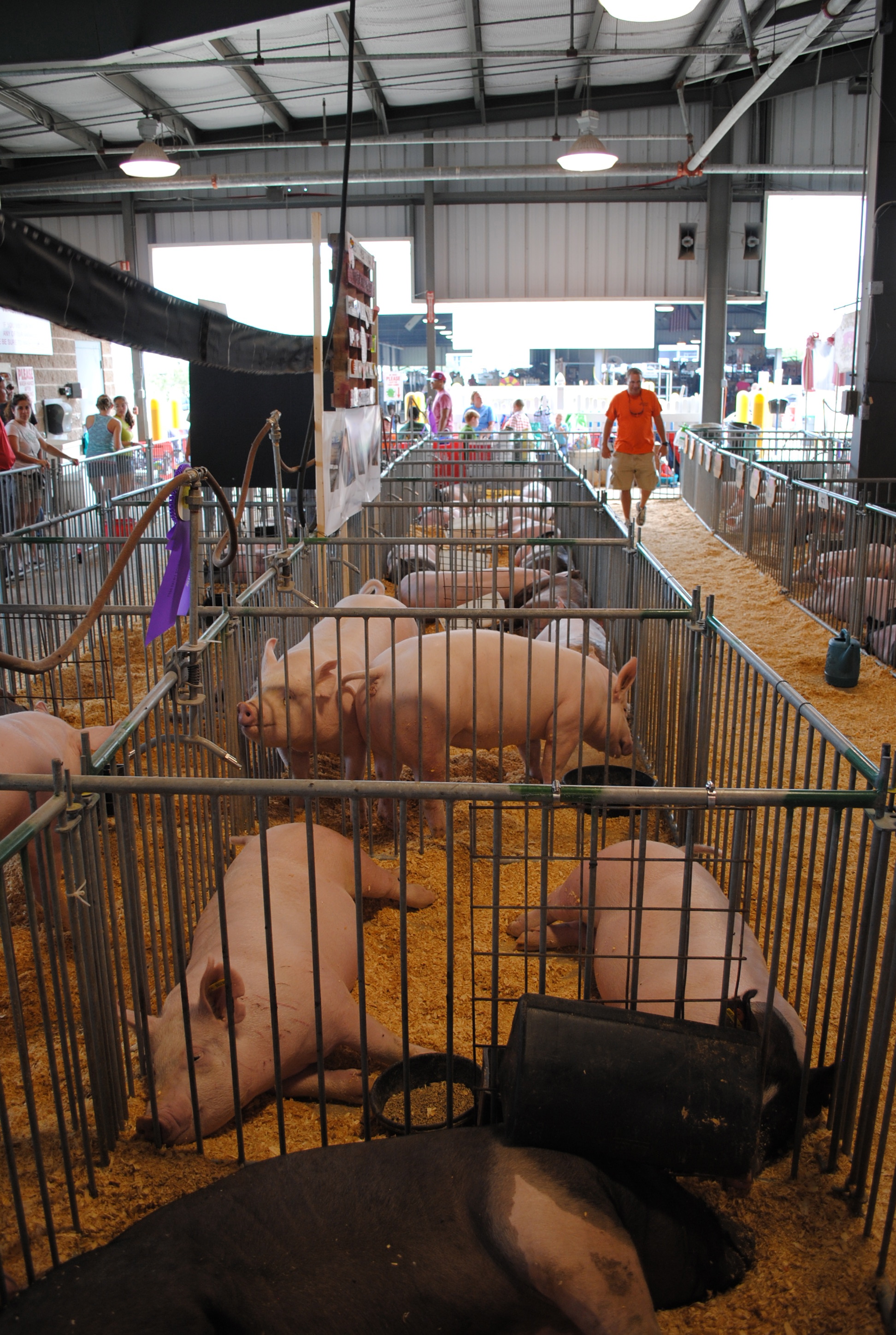
Delaware State Fair - 2012
county new leica portrait woman man male castle philadelphia public female night work studio de actors kent photographer photoshoot modeling pennsylvania models free posing headshot chester pa portraiture acting m8 actor philly delaware practice portfolio wilmington headshots poses dover kop exton brandywine chestercounty kingofprussia phoenixville delawarecounty tfcd newcastlecounty leicam8 willstotler servicesinkind
Seeking Philadelphia / King of Prussia / Dover Area Models and Actors - TFCD
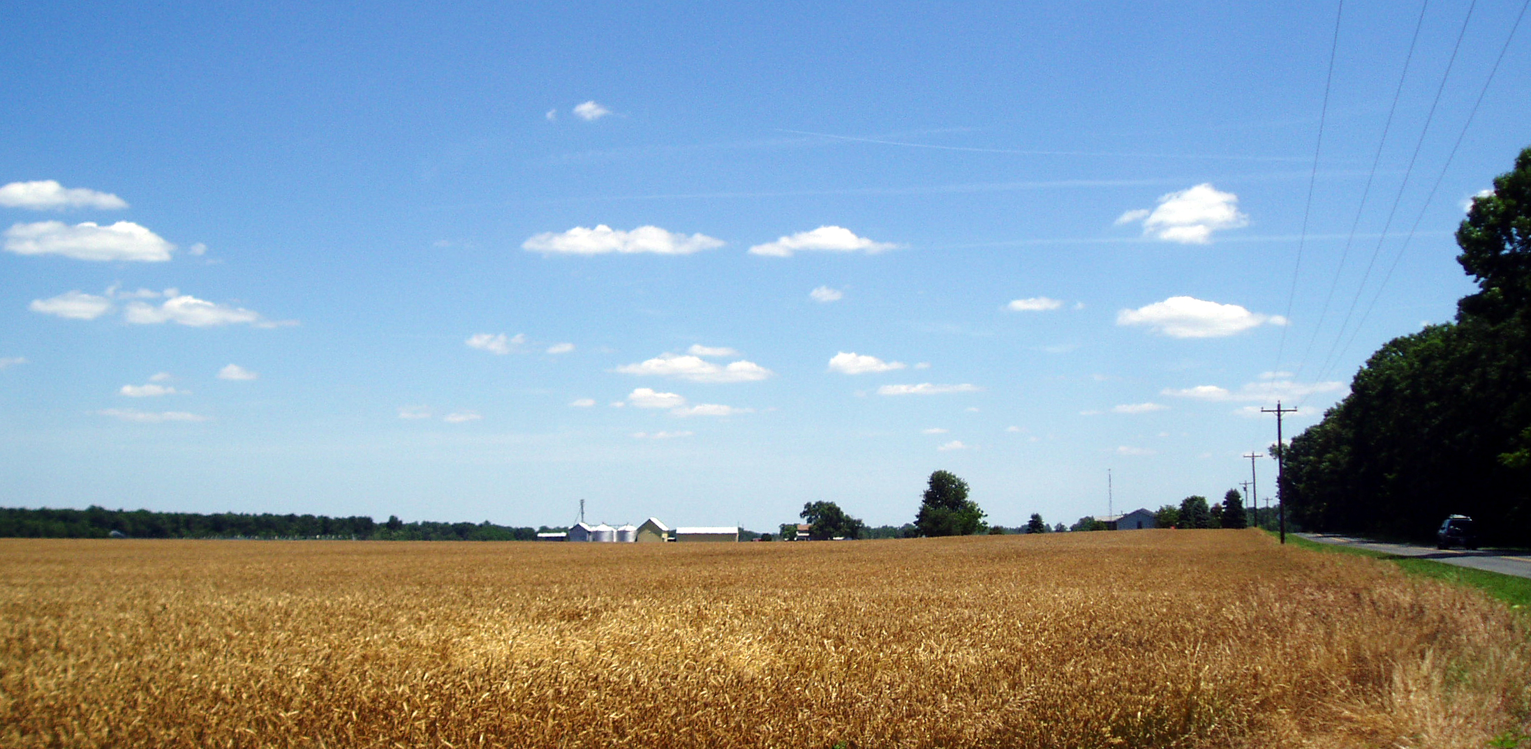
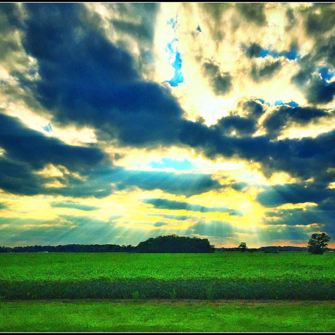
geotagged caroline maryland easternshore delmarva
A Sea of Ripe Wheat
railroad yard train ns engine locomotive delaware harrington norfolksouthern
Phantom Worker
reflection geotagged maryland scene delmarva
Upper Choptank River 2
blue sky clouds vinyard pizzadili
Pizzadili Vinyard
antique antiquecar autoshow hotrod carshow musclecar kentcounty feltondelaware
Overhead view
miniature fake shift delaware agriculture tilt grainelevator canond30 tiltshift miniaturefake harringtondel
Grain Elevator, Del.
bird pheucticusmelanocephalus
Black-headed Grosbeak
signs ford felton delaware esso feltoncommunityfirehall
Felton Delaware
forest spring seasons unitedstates conservation maryland things science watershed environment restoration states geography bog partnership wetland chesapeakebay photoessay carolinecounty geocity geo:country=unitedstates camera:make=canon exif:make=canon camera:model=canoneos5dmarkii geostate exif:model=canoneos5dmarkii chesapeakebayprogram exif:lens=ef24105mmf4lisusm exif:focallength=105mm exif:aperture=ƒ45 exif:isospeed=100
Bog on Nick Carter's property in Cariline County, Md. 02
spring seasons unitedstates dam conservation maryland things science watershed environment restoration states geography partnership chesapeakebay waterbodies photoessay carolinecounty choptankriver geocity geo:country=unitedstates camera:make=canon exif:make=canon monitoringstation camera:model=canoneos5dmarkii geostate exif:model=canoneos5dmarkii chesapeakebayprogram exif:lens=ef24105mmf4lisusm exif:focallength=24mm exif:aperture=ƒ11 usgeologicalsurveyusgs exif:isospeed=100 agenciesandorganizations
USGS dam on upper Choptank River in Caroline County, Md. 03
road ditch unitedstates pcs conservation cleanup maryland things science litter collections pollution environment restoration states roadside residential development partnership activities drainage chesapeakebay publicevents marydel geocity geo:country=unitedstates camera:make=canon exif:make=canon camera:model=canoneos5dmarkii geostate exif:model=canoneos5dmarkii chesapeakebayprogram exif:lens=ef24105mmf4lisusm projectcleanstream exif:focallength=24mm exif:aperture=ƒ40 allianceforthechesapeake exif:isospeed=100
Soccer match along drainage ditch near Marydel, Md. after Project Clean Stream
square squareformat iphoneography instagramapp uploaded:by=instagram
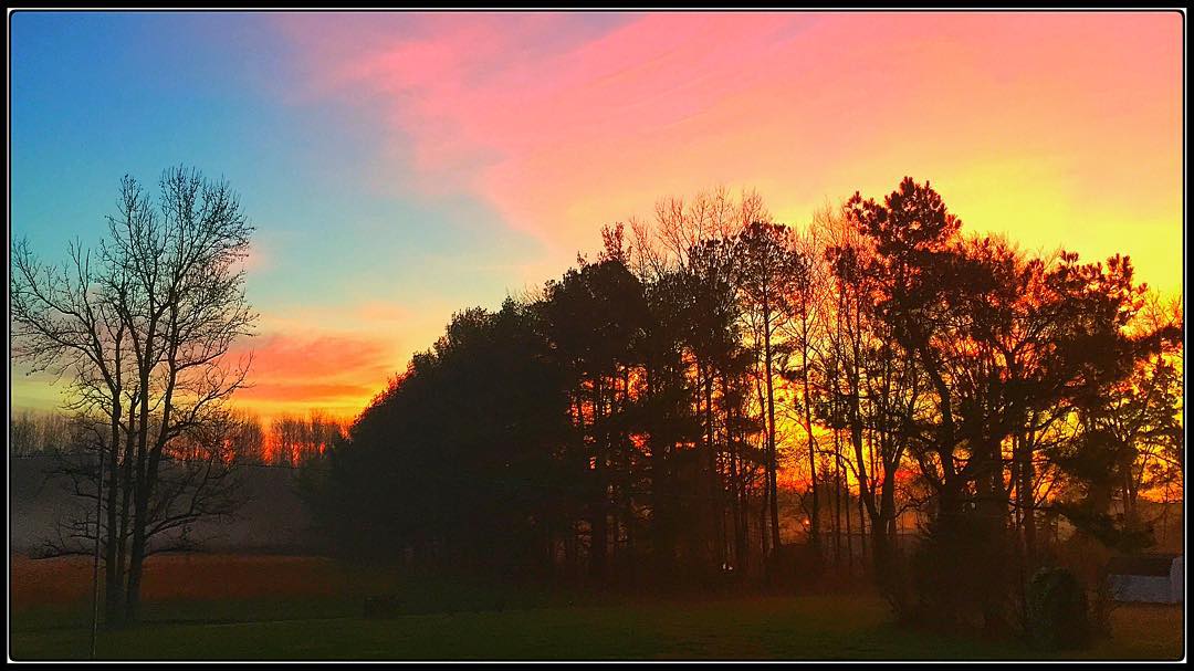
D A W N - B R E A K S W O O D S I D E 1 . 1 4 . 2 0 1 6 #gartoonz #FromDaCountry [ 1 ]
square squareformat iphoneography instagramapp uploaded:by=instagram
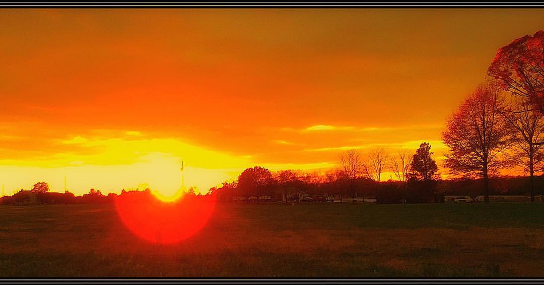
WOODSIDE SUNSET 1.10.2016 #gartoonz
square squareformat iphoneography instagramapp uploaded:by=instagram
WOODSIDE SUNSET 1 2 . 4 . 2 0 1 5 #gartoonz
square squareformat iphoneography instagramapp uploaded:by=instagram
Woodside Sunset - Variations - 8.5.15 #gartoonz
square squareformat iphoneography instagramapp uploaded:by=instagram
"Across the Universe" Woodside Sunset 9. 2 4 . 2 0 1 5 #gartoonz
square squareformat iphoneography instagramapp uploaded:by=instagram
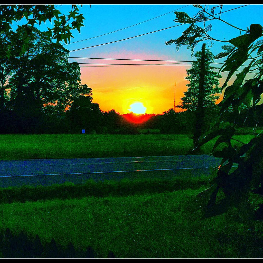
"DRAMATIC" Upper King Rd - Woodside - De 8 . 2 6 . 2 0 1 5 #gartoonz
square squareformat iphoneography instagramapp uploaded:by=instagram
Woodside Sunset - Variations - 8.5.15 #gartoonz
square squareformat iphoneography instagramapp uploaded:by=instagram
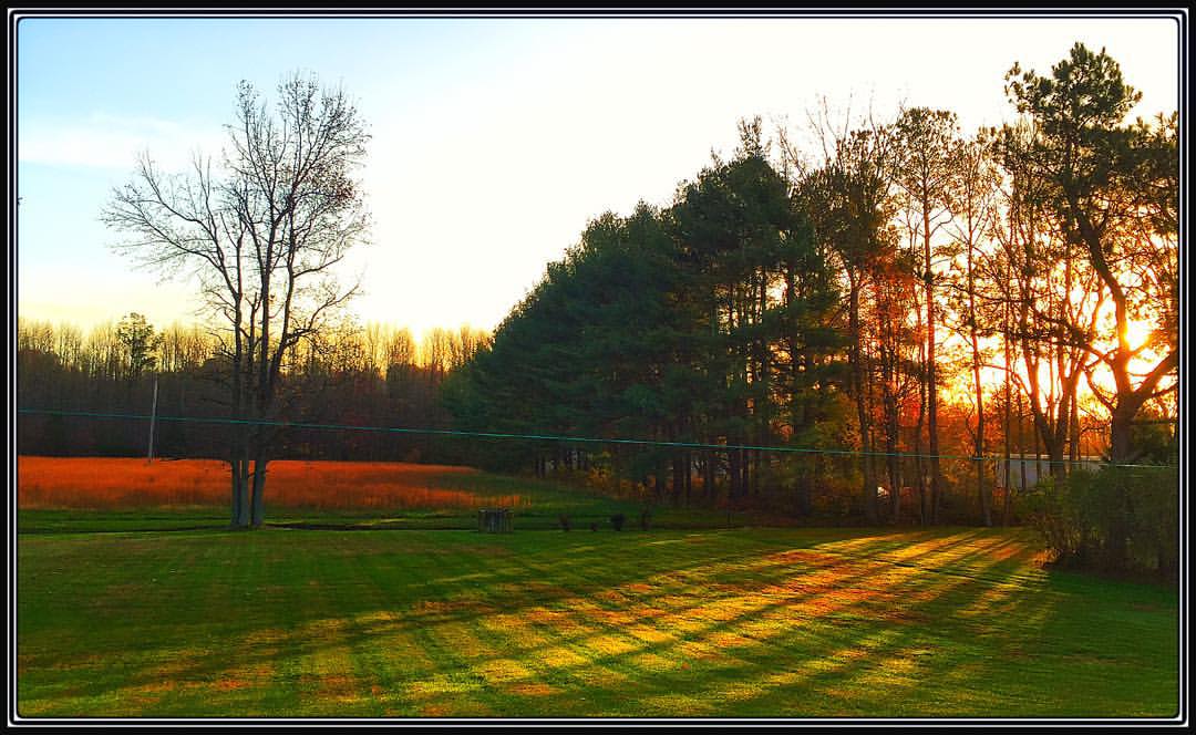
Woodside Delaware Sunset - 5.15.15
square squareformat iphoneography instagramapp uploaded:by=instagram
Woodside Sunset 1 1 . 2 4 . 1 5 #gartoonz
square squareformat iphoneography instagramapp uploaded:by=instagram
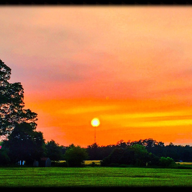
"Balancing Act" Woodside sunset - Woodside, Delaware - 6.9.15
square squareformat iphoneography instagramapp uploaded:by=instagram
Woodside Sunrise 12.12.15 #gartoonz
forest spring seasons unitedstates conservation maryland things science watershed environment restoration states geography bog partnership wetland chesapeakebay photoessay carolinecounty geocity geo:country=unitedstates camera:make=canon exif:make=canon camera:model=canoneos5dmarkii geostate exif:model=canoneos5dmarkii chesapeakebayprogram exif:lens=ef24105mmf4lisusm exif:focallength=32mm exif:aperture=ƒ40 exif:isospeed=100
Bog on Nick Carter's property in Cariline County, Md. 01
square squareformat iphoneography instagramapp uploaded:by=instagram
" b o i s s o n à l' o r a n g e " Woodside Sunset 1 1 . 1 1 . 2 0 1 5
boy baby girl field clouds photoshop children landscape open sister brother farm siblings kites sailor spaces easternshoreofmaryland lightroom20 startinganewtrend nocluewhythemapissayingdeitsonthemdside
{ kites are the new parasol }
square squareformat iphoneography instagramapp uploaded:by=instagram
Sunrise in Woodside (1), Walkin' the Edison .... #gartoonz
square squareformat iphoneography instagramapp uploaded:by=instagram foursquare:venue=4ccecf50294aef3b31db86e2
Image created with #Snapseed
plants tree forest spring seasons unitedstates conservation maryland science watershed environment restoration states geography terrestrial partnership chesapeakebay photoessay loblollypine carolinecounty geocity geo:country=unitedstates camera:make=canon exif:make=canon camera:model=canoneos5dmarkii geostate exif:model=canoneos5dmarkii chesapeakebayprogram exif:lens=ef24105mmf4lisusm exif:focallength=24mm exif:aperture=ƒ63 exif:isospeed=100
Loblolly pines and forest floor looking straight ahead
plants tree forest spring seasons unitedstates conservation maryland science watershed environment restoration states geography terrestrial partnership chesapeakebay photoessay loblollypine carolinecounty geocity geo:country=unitedstates camera:make=canon exif:make=canon camera:model=canoneos5dmarkii geostate exif:model=canoneos5dmarkii chesapeakebayprogram exif:lens=ef24105mmf4lisusm exif:focallength=105mm exif:aperture=ƒ63 exif:isospeed=100
Loblolly pines looking straight ahead