Elevation of Rd, Greenwood, DE, USA
Location: United States > Delaware > Sussex County > Greenwood >
Longitude: -75.693397
Latitude: 38.848778
Elevation: 14m / 46feet
Barometric Pressure: 101KPa
Elevation Map:
Satellite Map:
Related Photos:
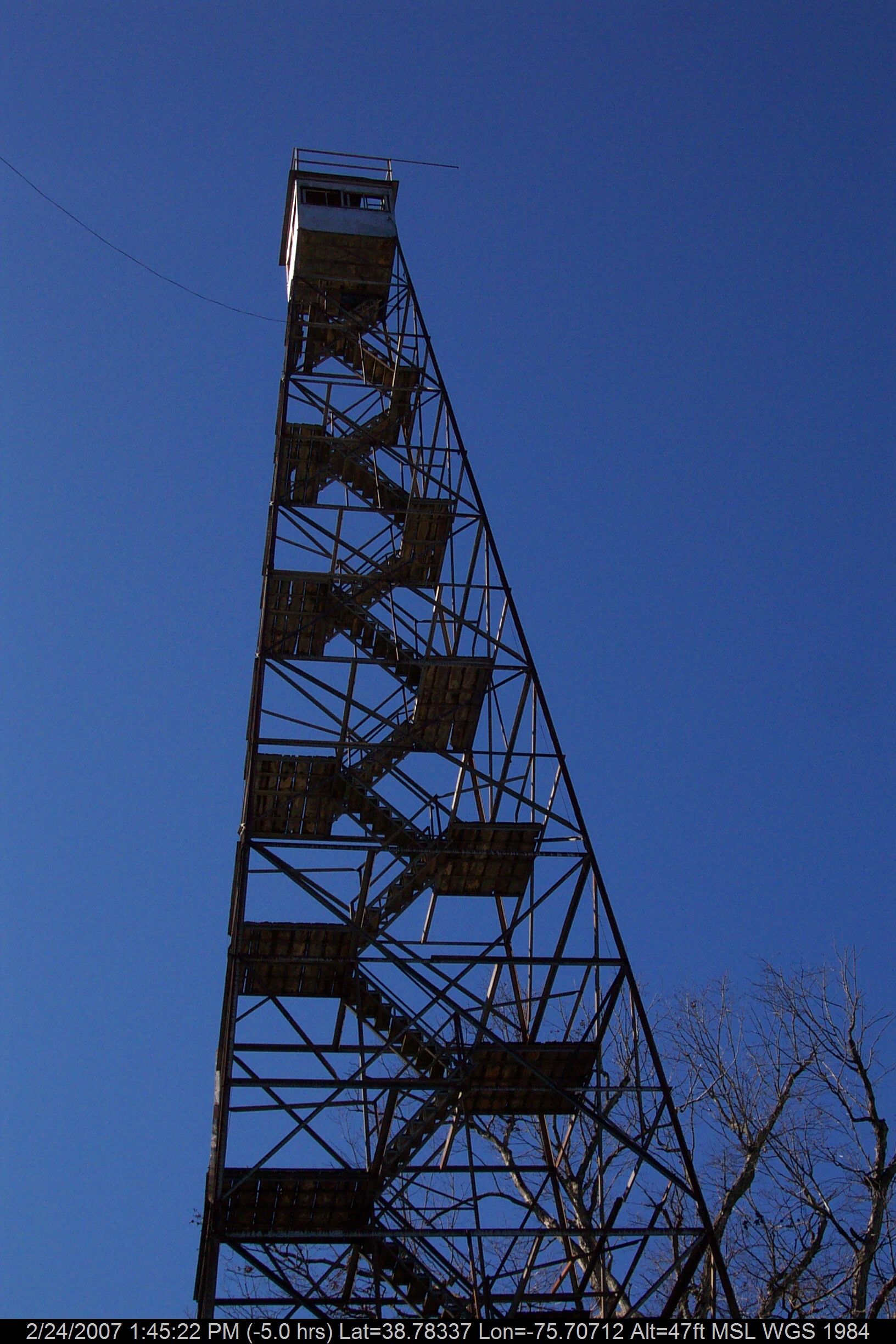
Stateline Marker Old Firetower

Delaware State Fair - 2012
Phantom Worker

Upper Choptank River 2
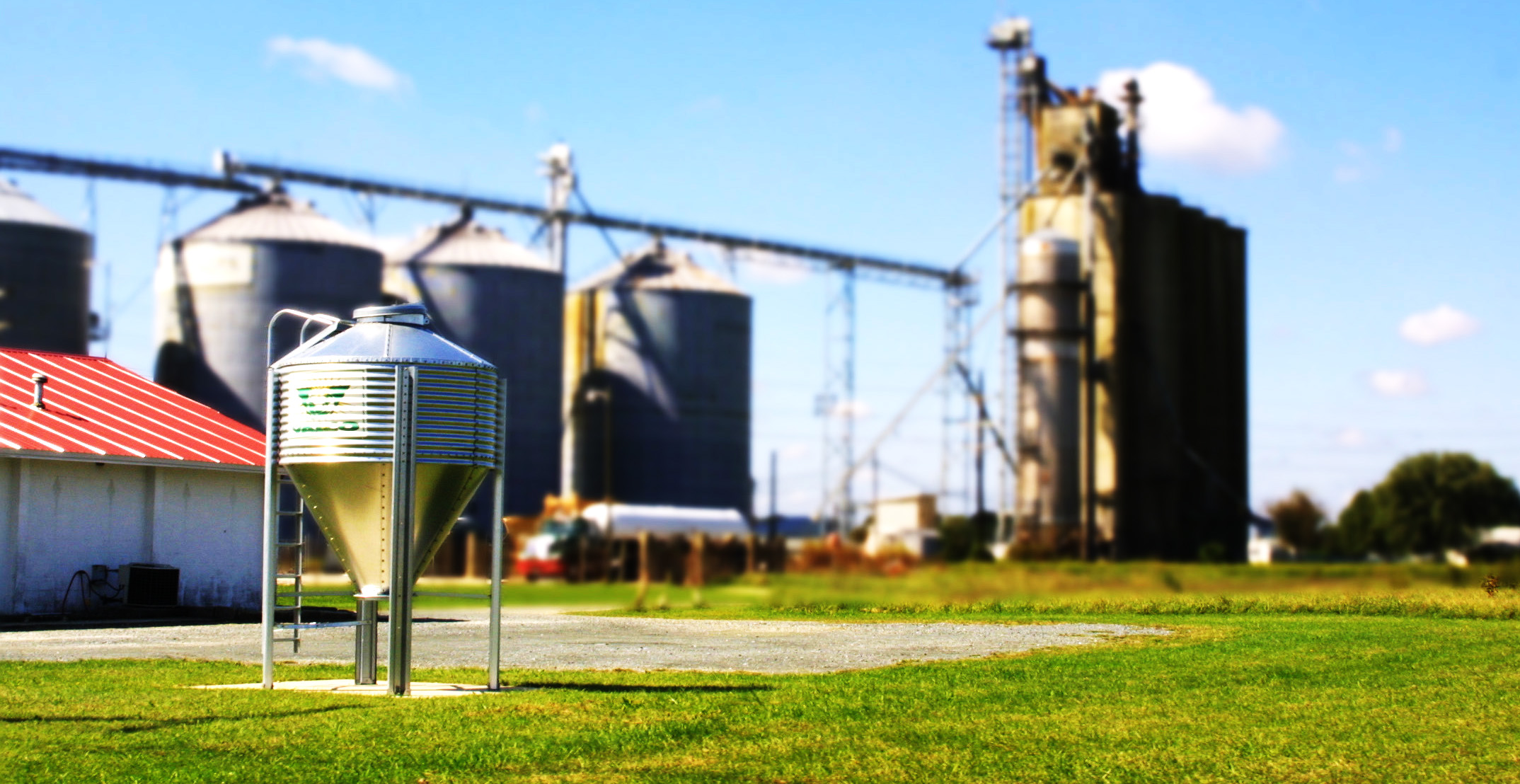
Grain Elevator, Del.

Girls Caching Team

Plaque at Stateline Marker

Ralph & Paul Adams, at an angle
Who will sit there?
Blest be the tie that binds...

Black-headed Grosbeak

TrackHead Studios - National Bohemian

D43A70AD-CA86-4B23-9133-9635F9C042F3

Hindwing with Ray
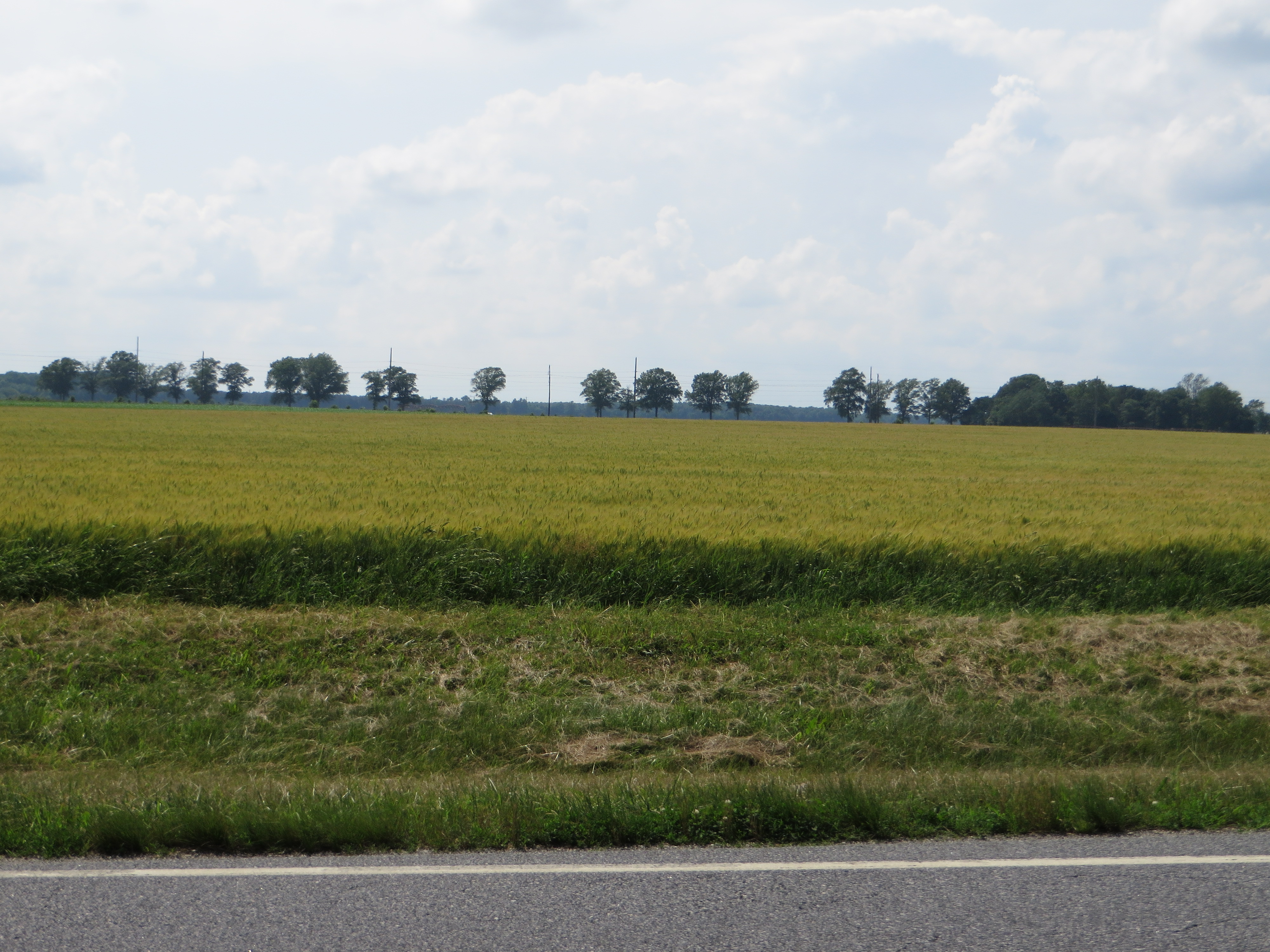
Fields, U.S. 13, Bridgeville, Delaware
(109/365)~~the 12 stages of the tree,stage 4

Autumn Sunset

365:46

To Lakeview

Abandoned 2
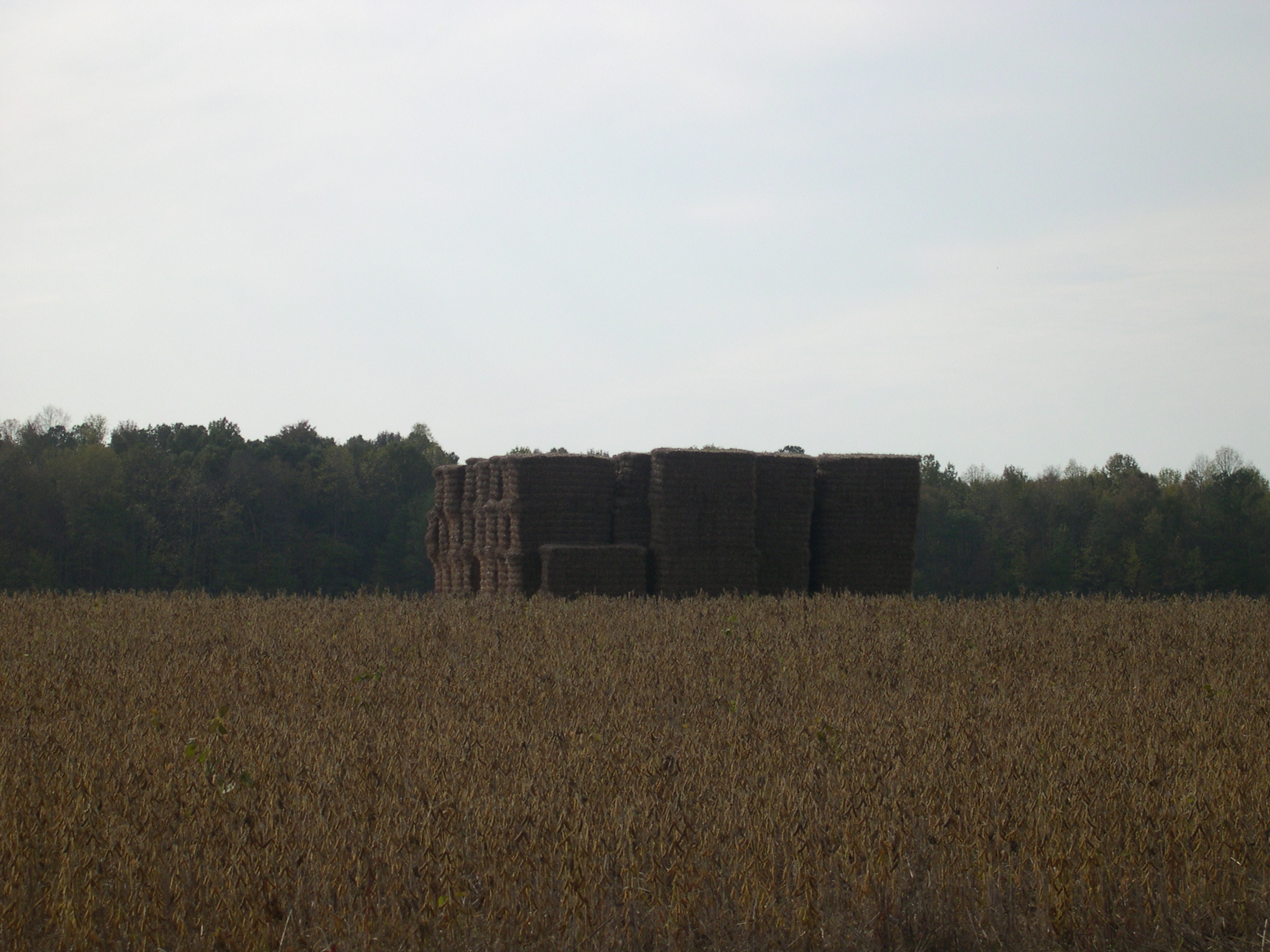
Pile of Hay

More grass.

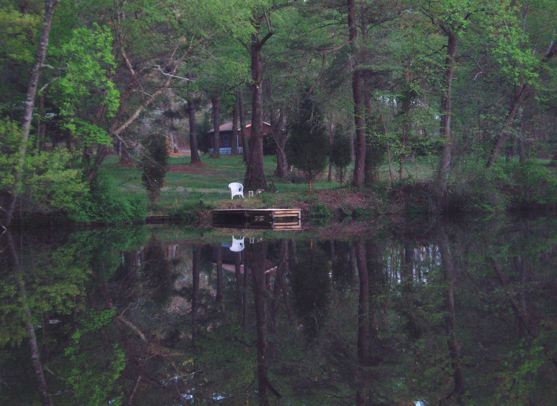
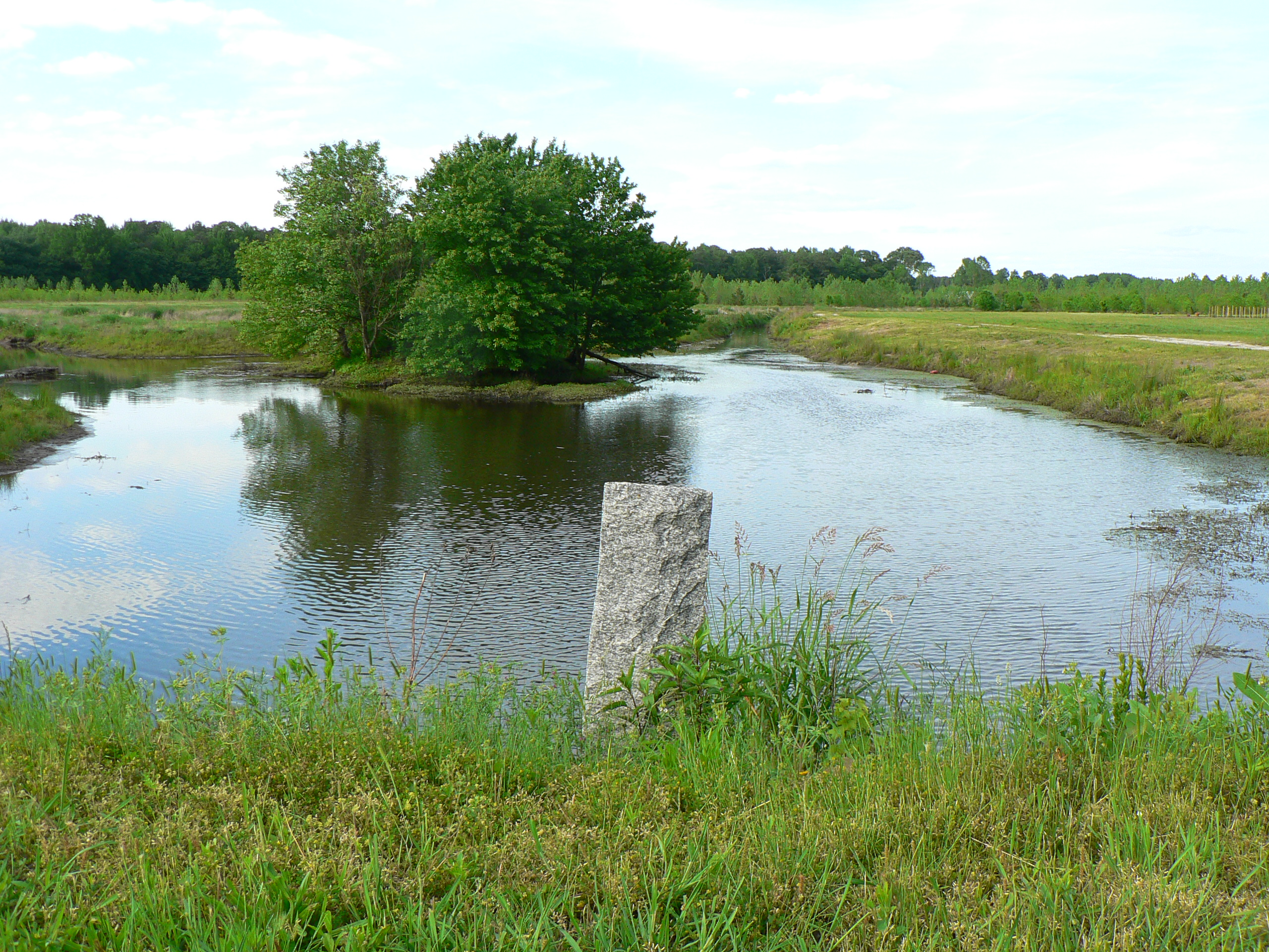
Meditation Point
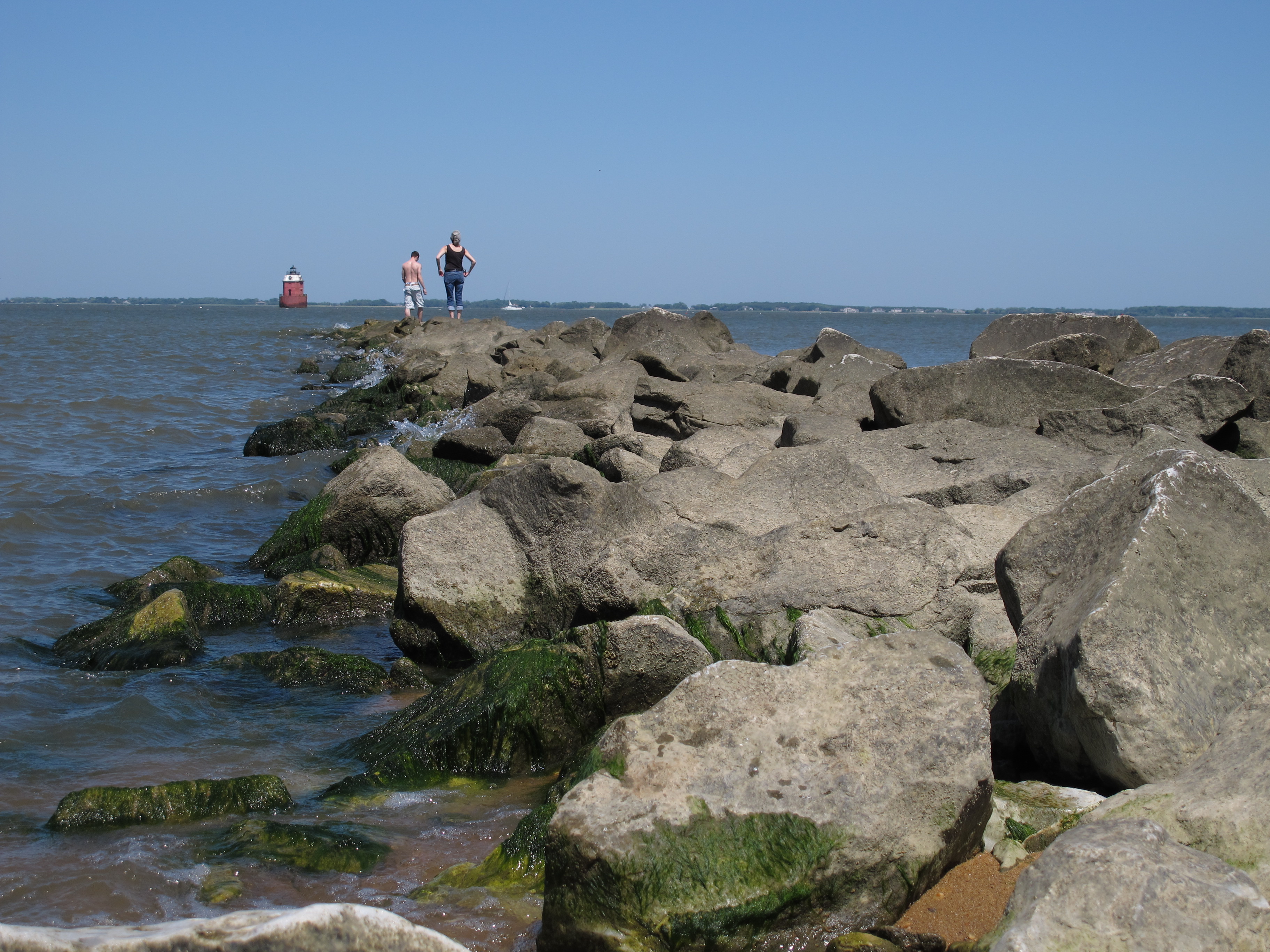
Rock Hopping
on the borderline
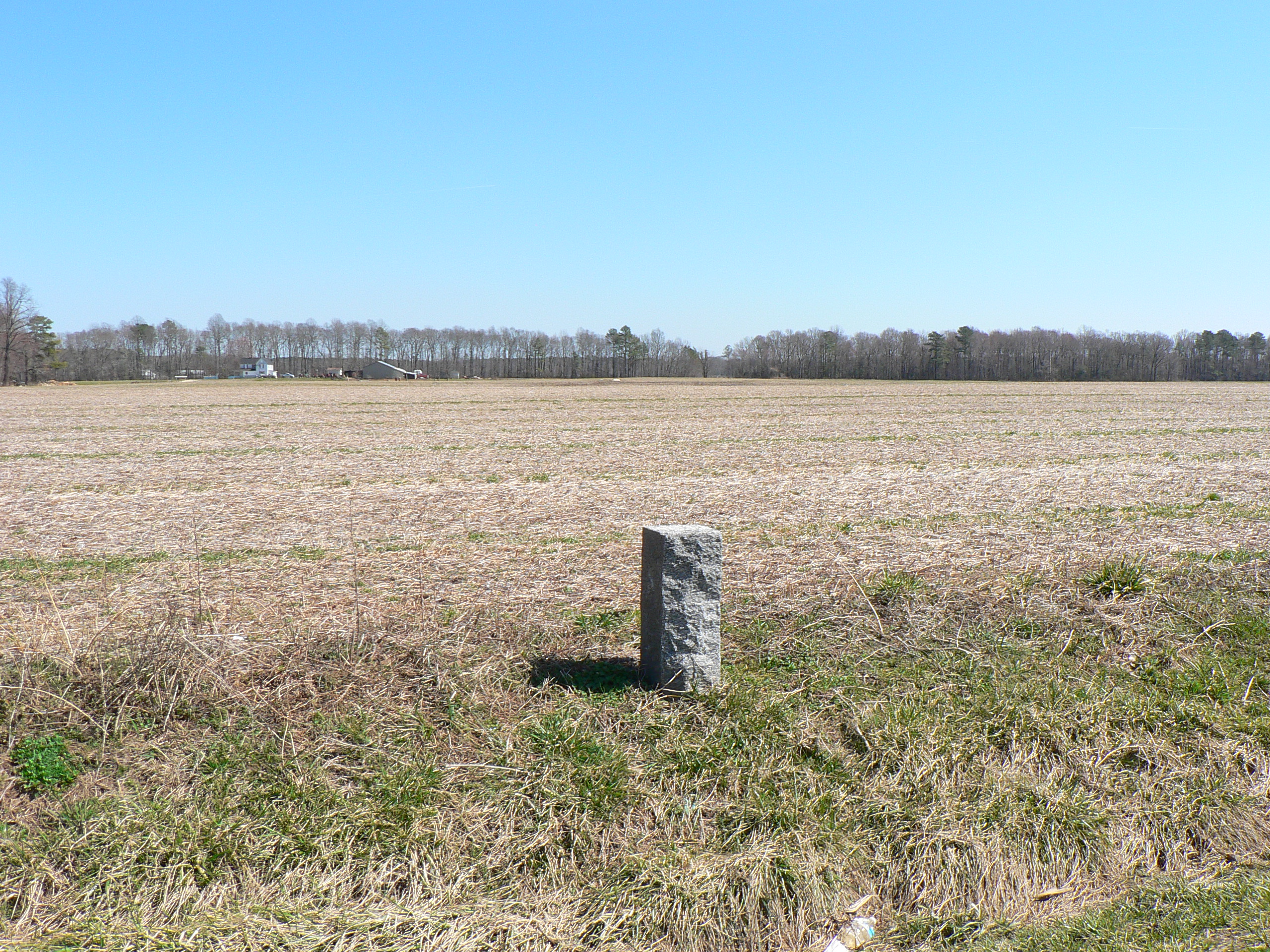
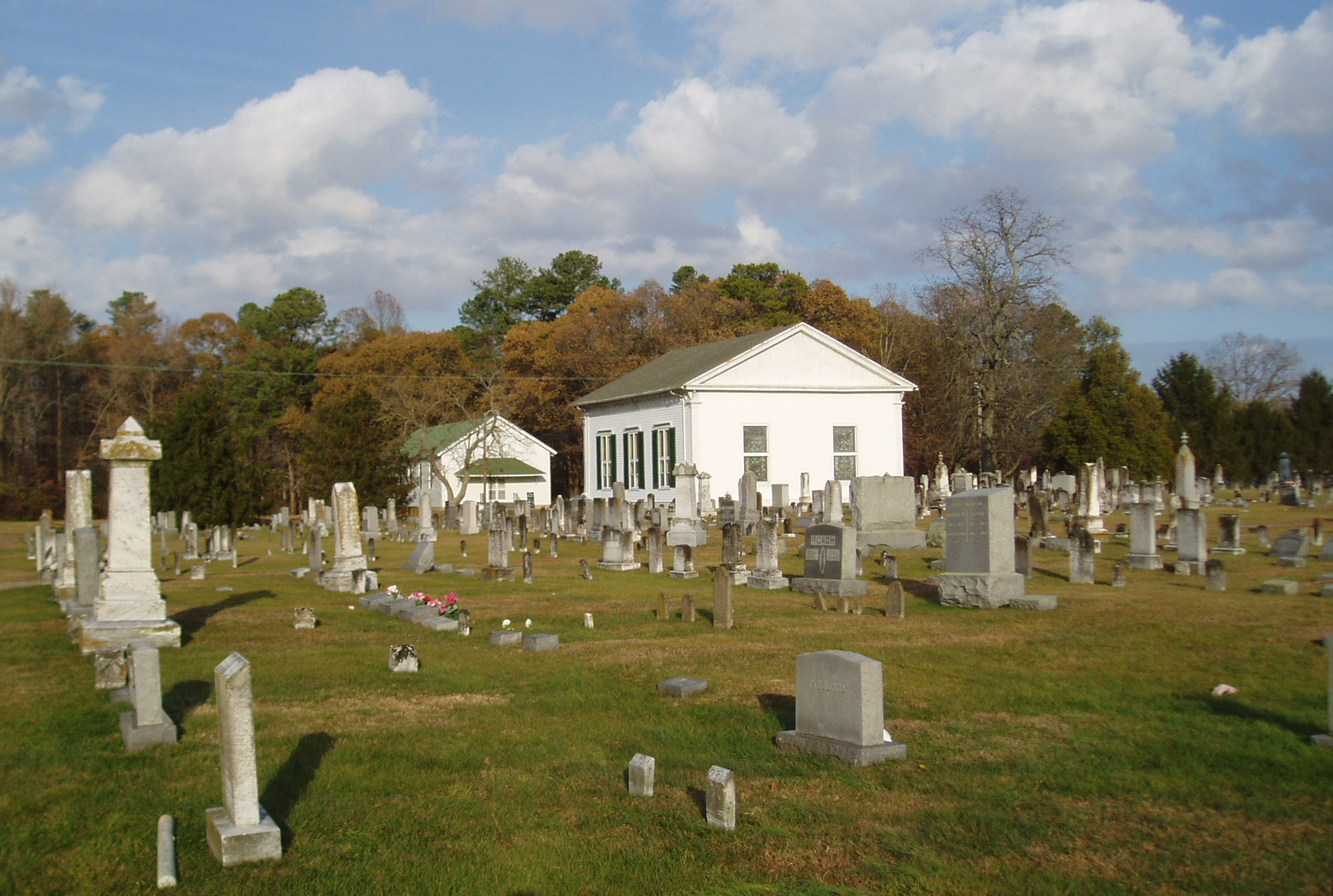
liden school road monument
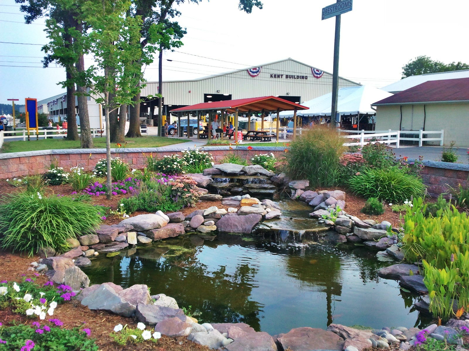
At the State Fair
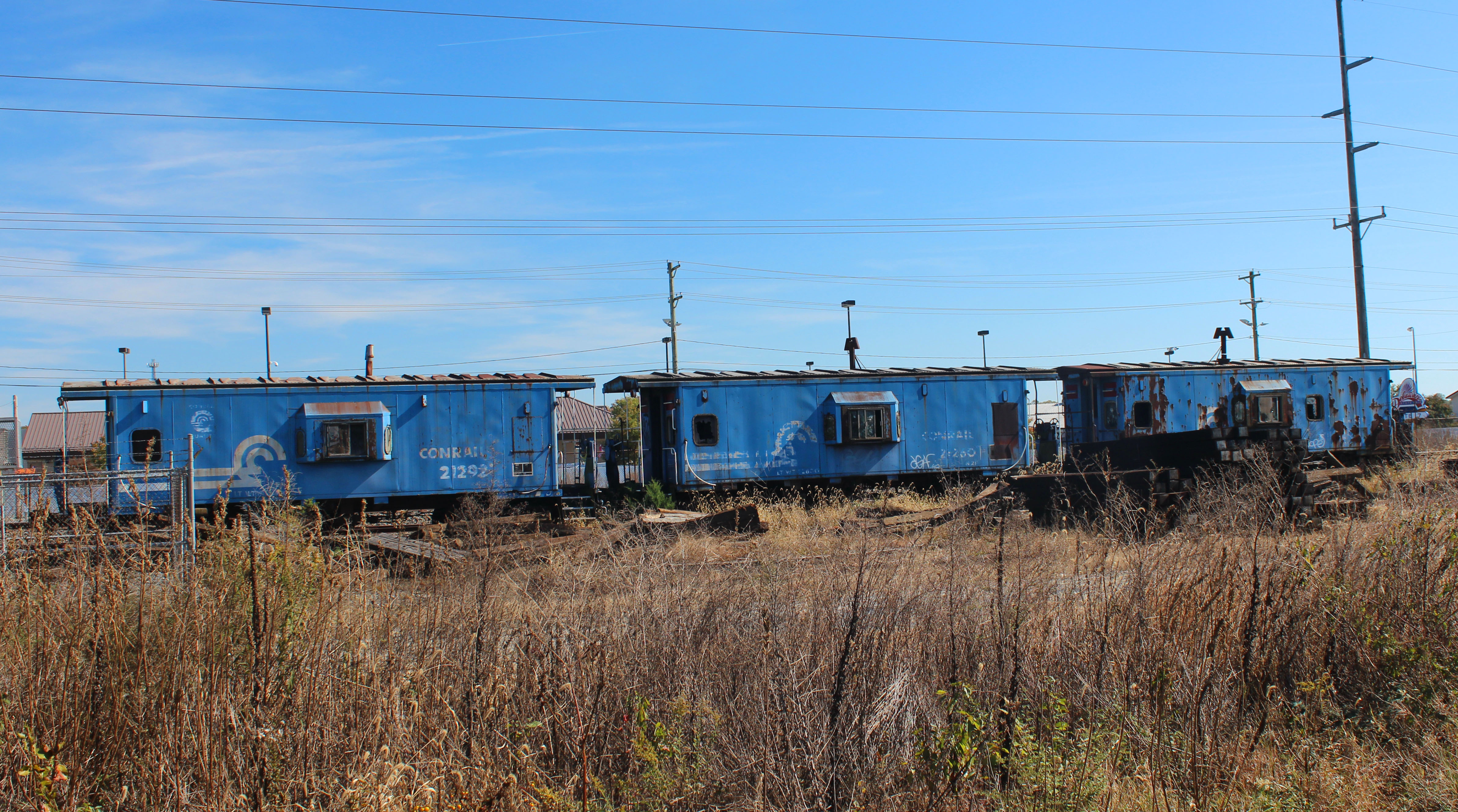
cabin cars pennsy name for them on ex P.R.R. delmarva line

#statefair #delaware

Meditation Point
Landscape One
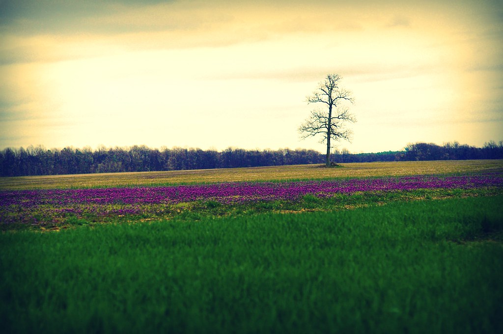
The Tree
Topographic Map of Rd, Greenwood, DE, USA
Find elevation by address:

Places near Rd, Greenwood, DE, USA:
2265 Todds Chapel Rd
Rd, Harrington, DE, USA
Andrewville Rd, Harrington, DE, USA
4386 Brownsville Rd
Murffs Rd, Harrington, DE, USA
Denton, MD, USA
3, Denton
10738 Garland Rd
Burnite Mill Rd, Harrington, DE, USA
Greensboro Rd, Denton, MD, USA
Vienna Dr, Denton, MD, USA
Denton
Burnite Mill Rd, Harrington, DE, USA
Spectrum Farms Rd, Felton, DE, USA
101 Gay St
2, Greensboro
Edwardsville Rd, Felton, DE, USA
Smith Landing Rd, Denton, MD, USA
Bridge St, Denton, MD, USA
Pealiquor Landing Rd, Denton, MD, USA
Recent Searches:
- Elevation of Corso Fratelli Cairoli, 35, Macerata MC, Italy
- Elevation of Tallevast Rd, Sarasota, FL, USA
- Elevation of 4th St E, Sonoma, CA, USA
- Elevation of Black Hollow Rd, Pennsdale, PA, USA
- Elevation of Oakland Ave, Williamsport, PA, USA
- Elevation of Pedrógão Grande, Portugal
- Elevation of Klee Dr, Martinsburg, WV, USA
- Elevation of Via Roma, Pieranica CR, Italy
- Elevation of Tavkvetili Mountain, Georgia
- Elevation of Hartfords Bluff Cir, Mt Pleasant, SC, USA