Elevation of Rang Dumas, Ormstown, QC J0S, Canada
Location: Canada > Québec > Le Haut-saint-laurent Regional County Municipality > Ormstown >
Longitude: -73.977731
Latitude: 45.0531729
Elevation: 89m / 292feet
Barometric Pressure: 100KPa
Elevation Map:
Satellite Map:
Related Photos:
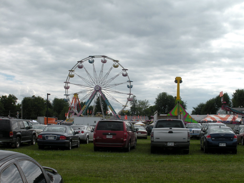
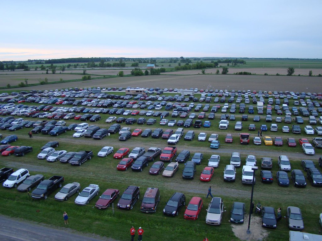
View of Midway from Parking Lot
pl20nov10 005
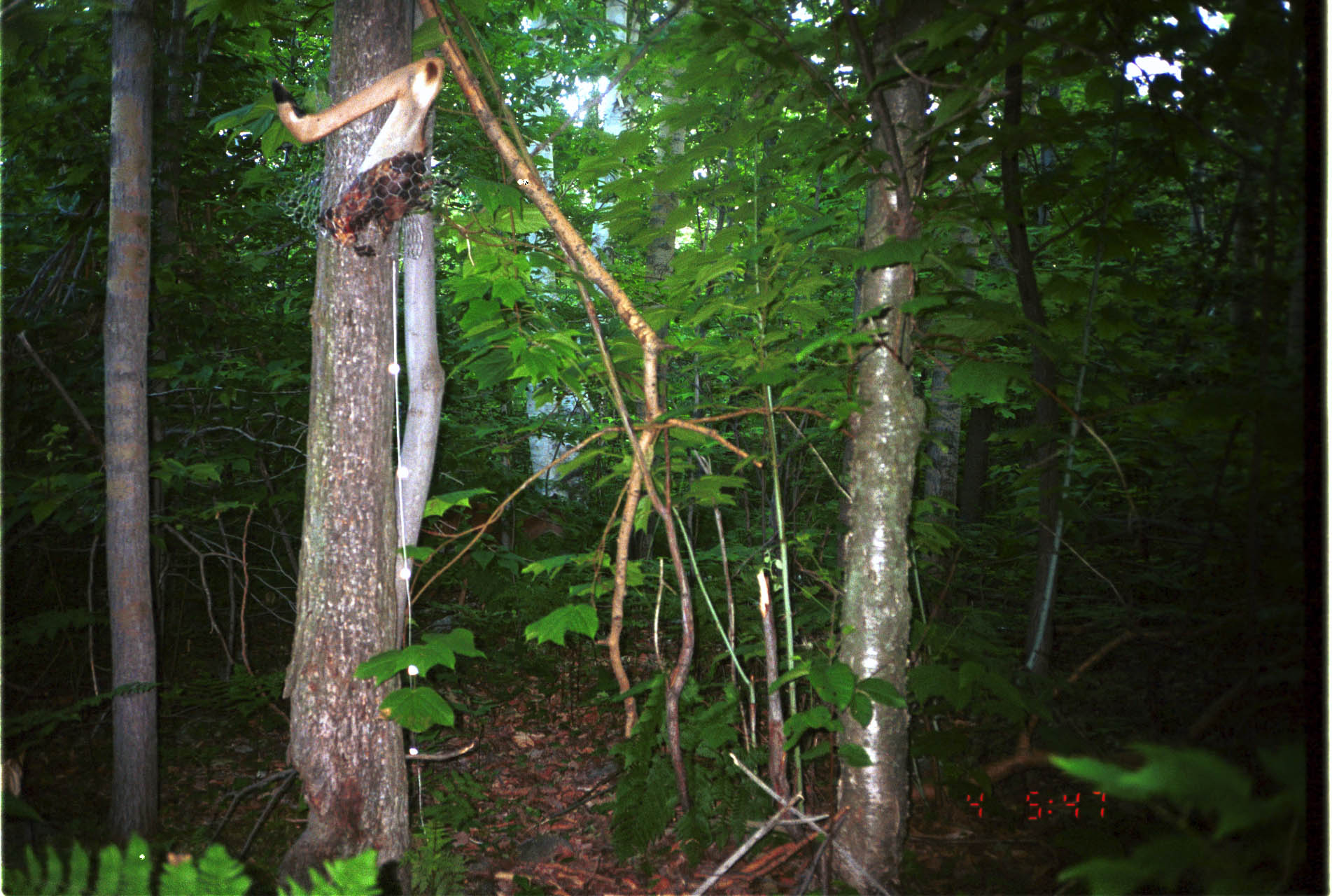
White-tailed Deer
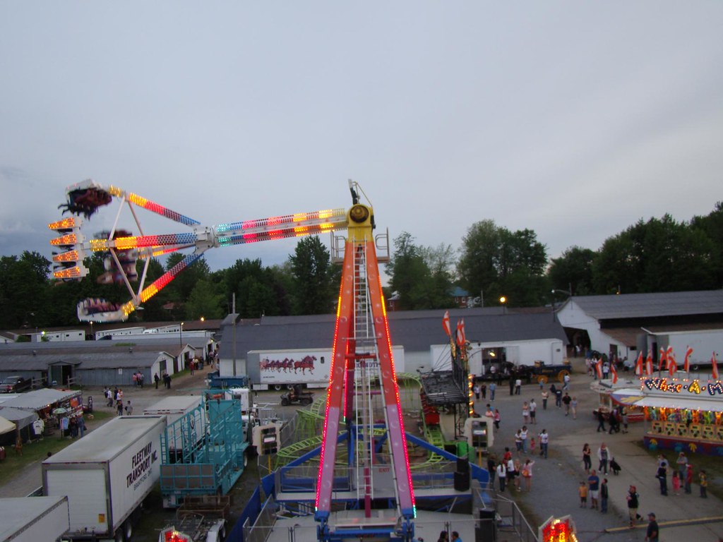
Ormstown Fair / Expo d'Ormstown
pl10nov06ormstownpres2 copy

View of midway from parking lot
Ormstown Fair / Expo d'Ormstown
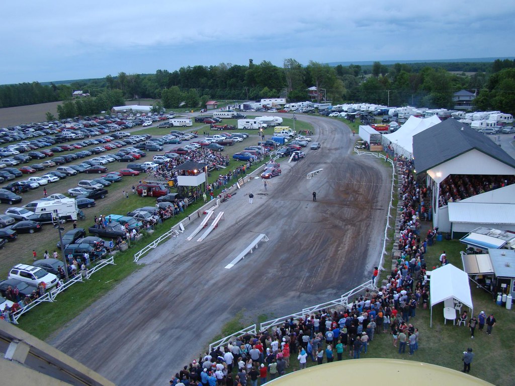
Ormstown Fair / Expo d'Ormstown
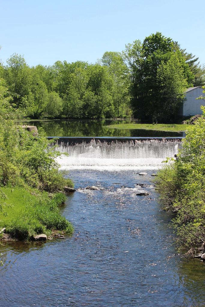
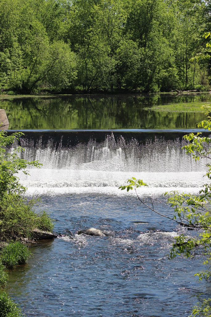
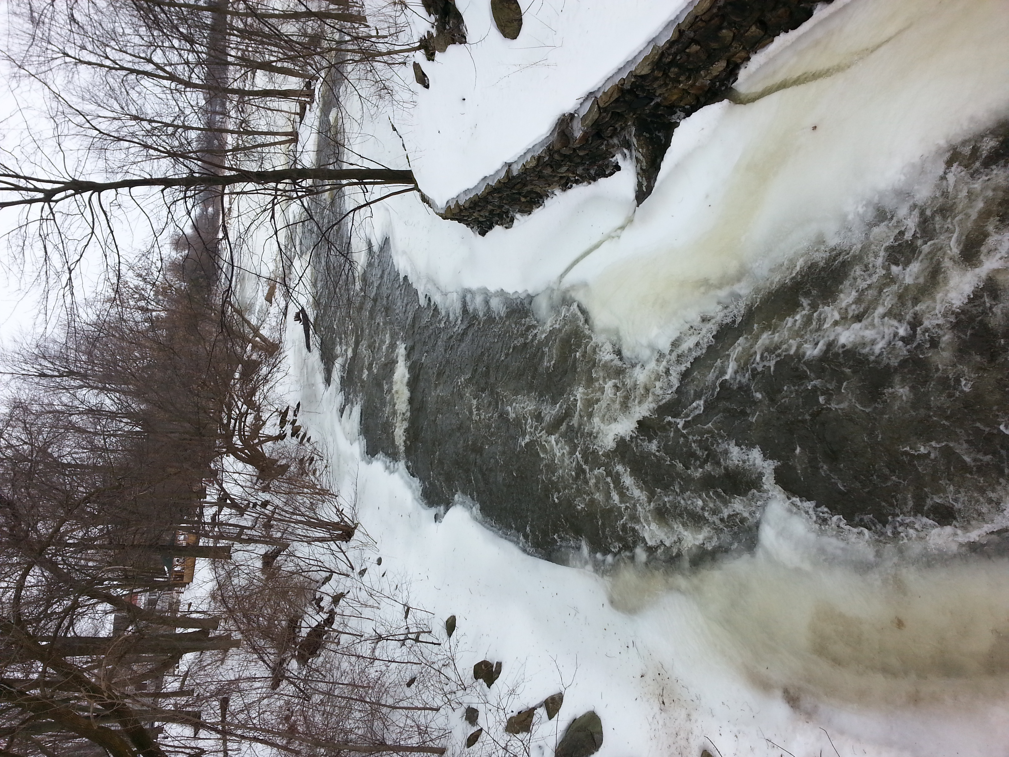
Dam on Hinchinbrooke River
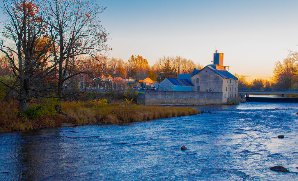
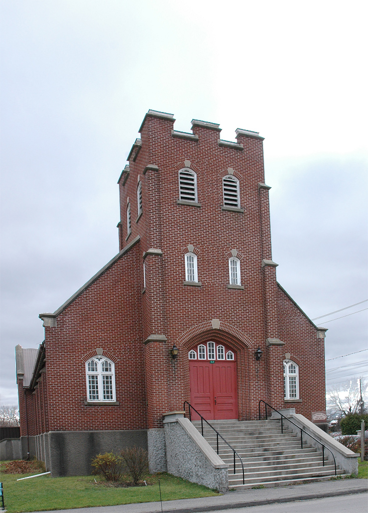
VIEUX MOULIN HENDERSON / HENDERSON OLD MILL

lunch with mom in Dickson City
Point d'eau
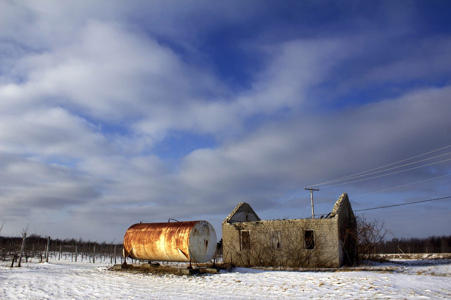
Le baril, les ruines et le poteau...
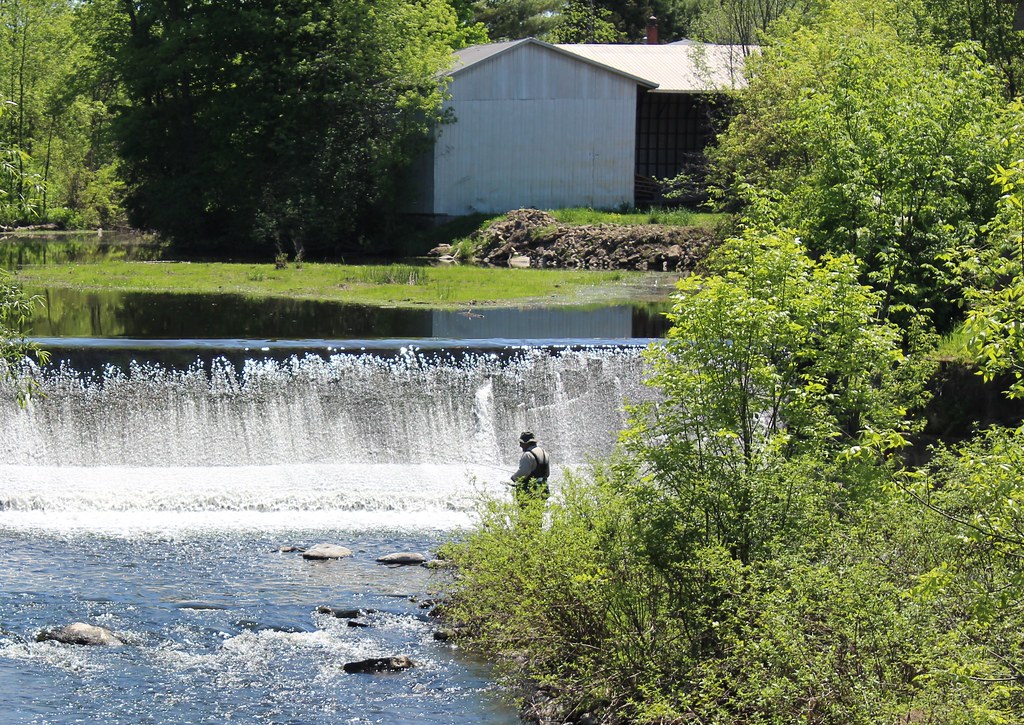
Fisherman in Athelstan, QC
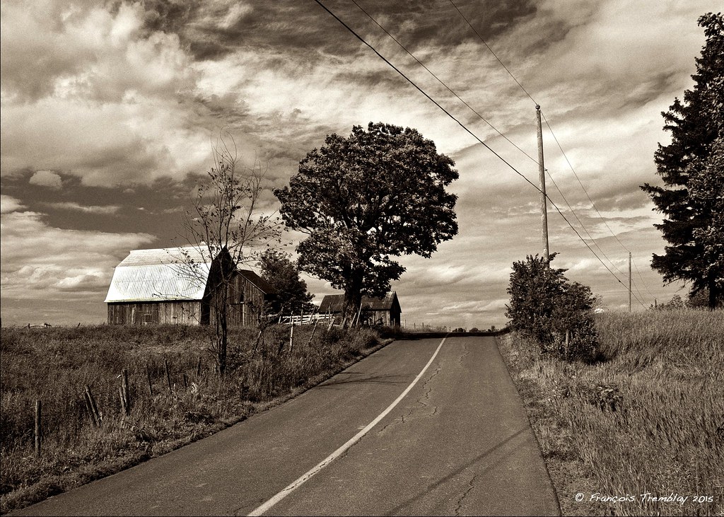
On the Châteauguay river road near Ormstown / Sur le chemin de la rivière Châteauguay près de Ormstown, Québec, Canada (P0023742)
Godmanchester, Québec
Dam in Athelstan
Godmanchester, Québec
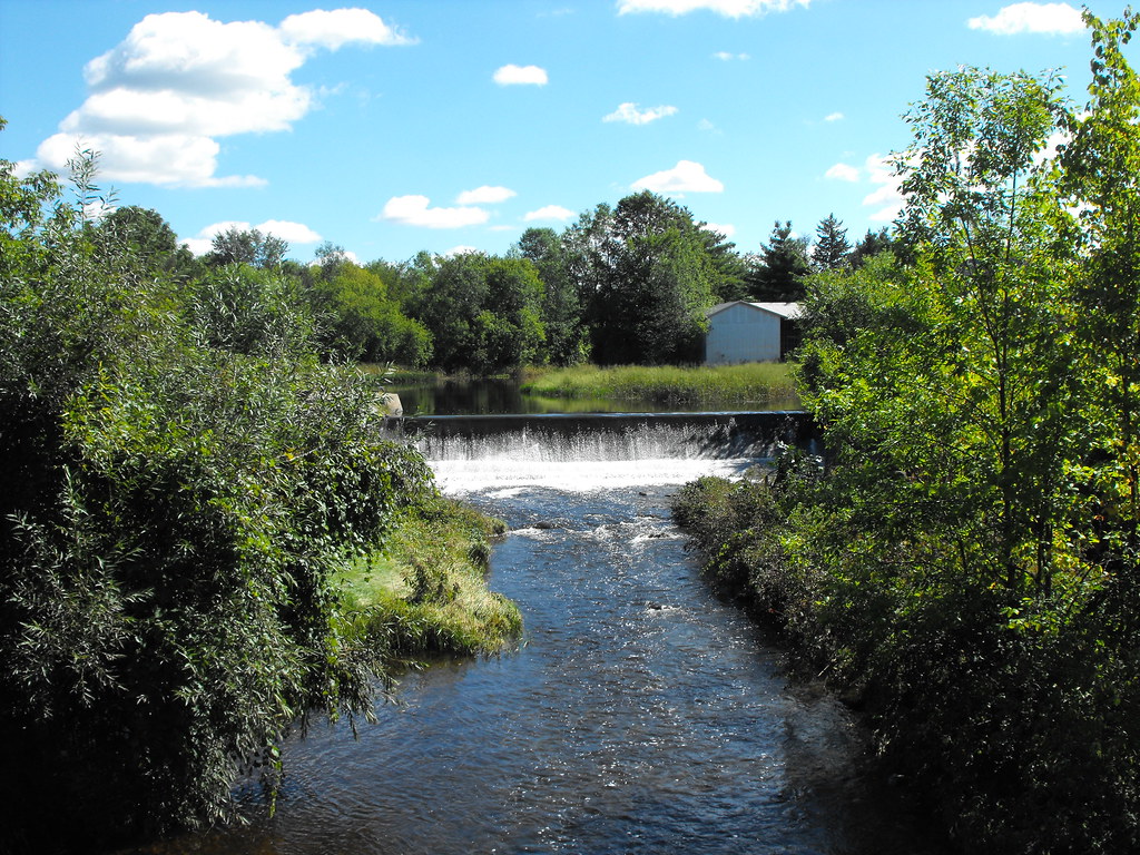
Dam on Hinchinbrooke River in Athelstan
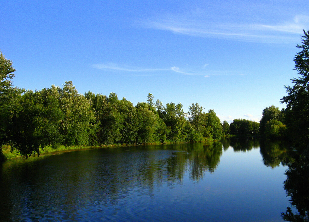
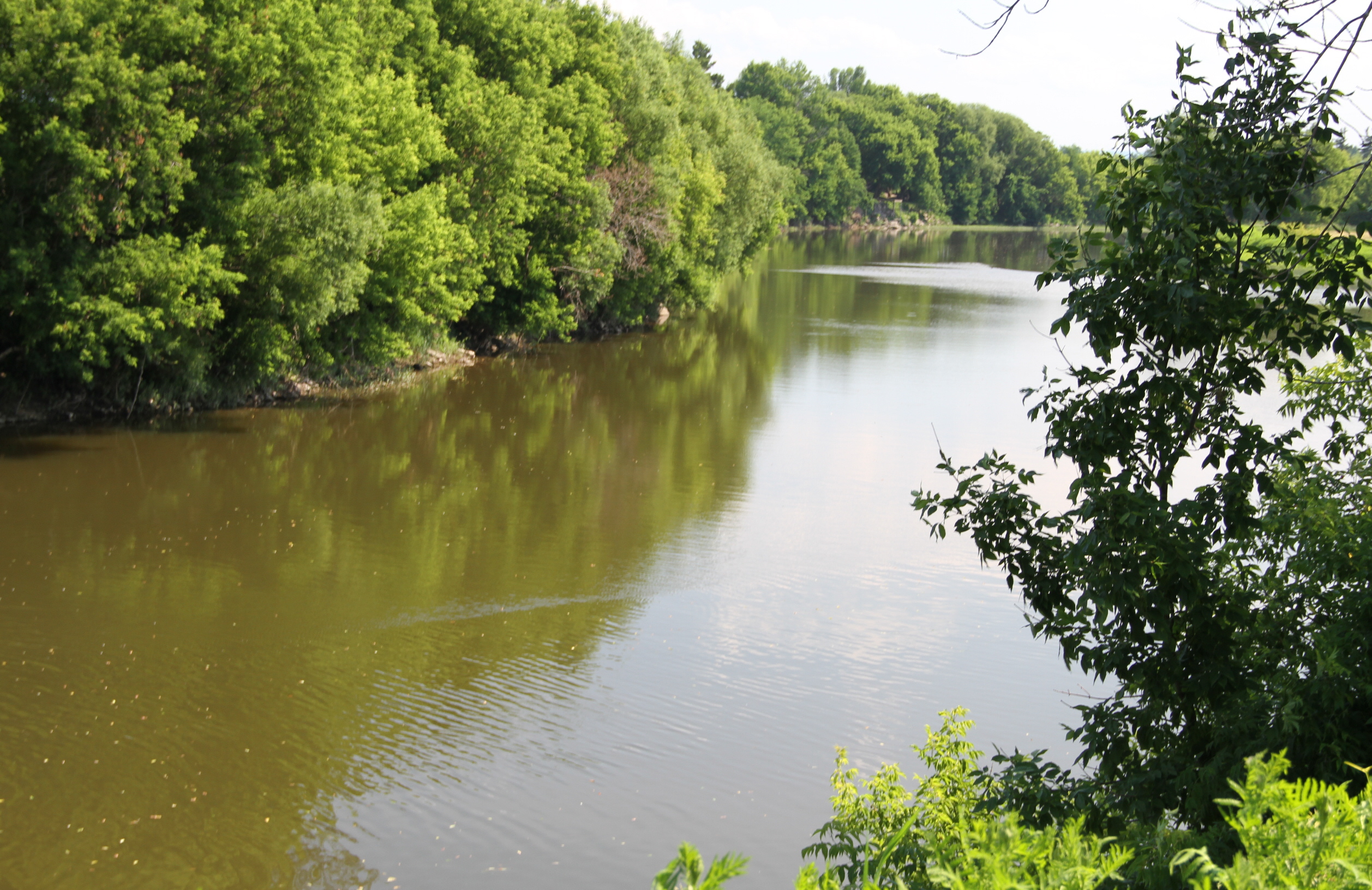
Rivière Châteauguay
Dewittville, Québec
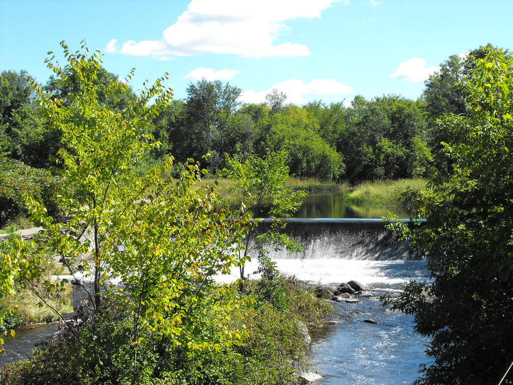
Dam on Hinchinbrooke River in Athelstan

Huntingdon, Québec
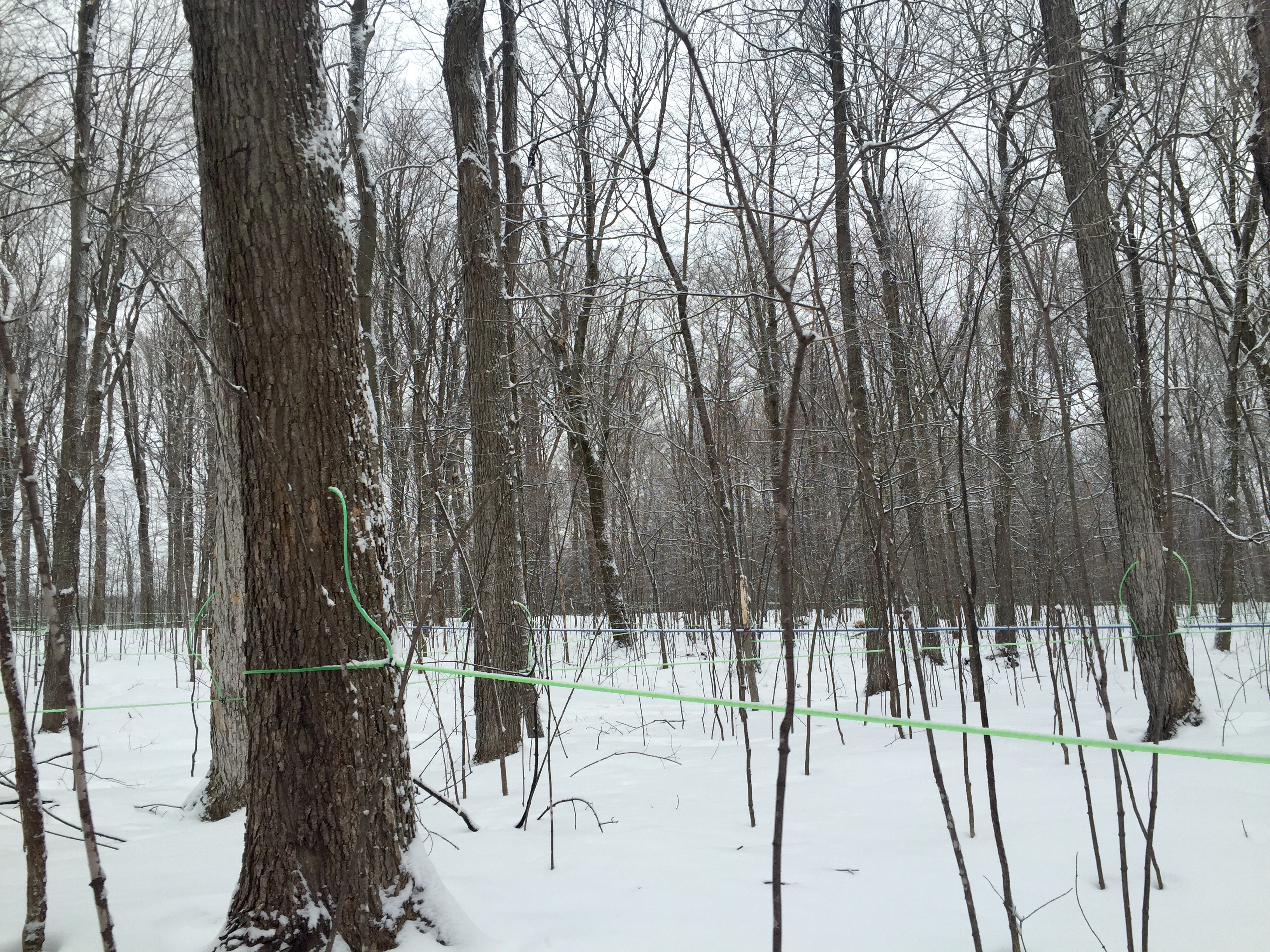
Modern maple syrup tapping
Dewittville, Québec
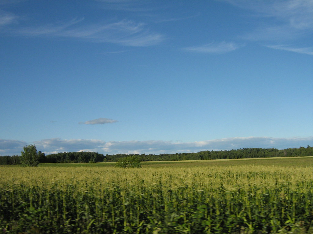
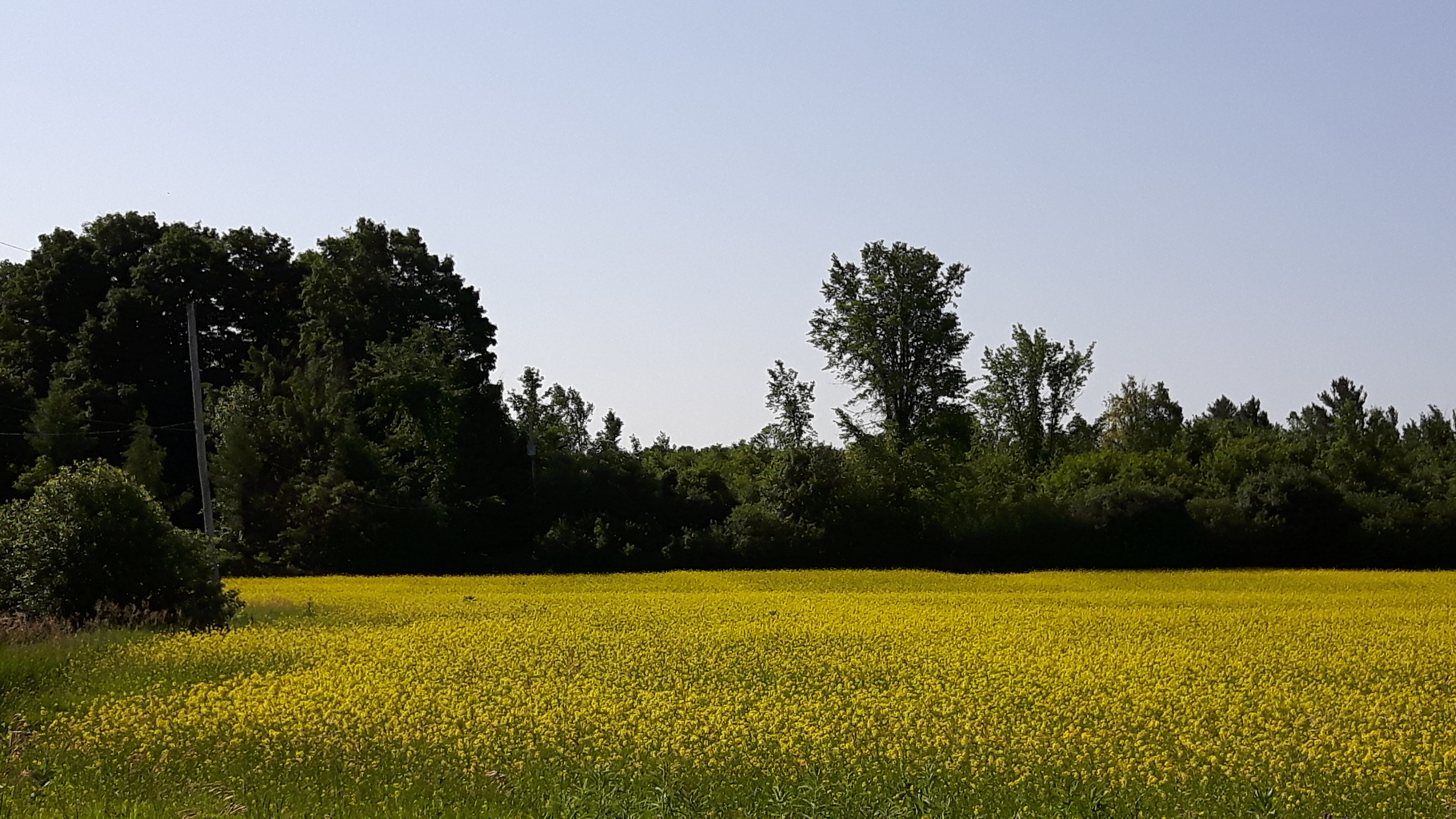
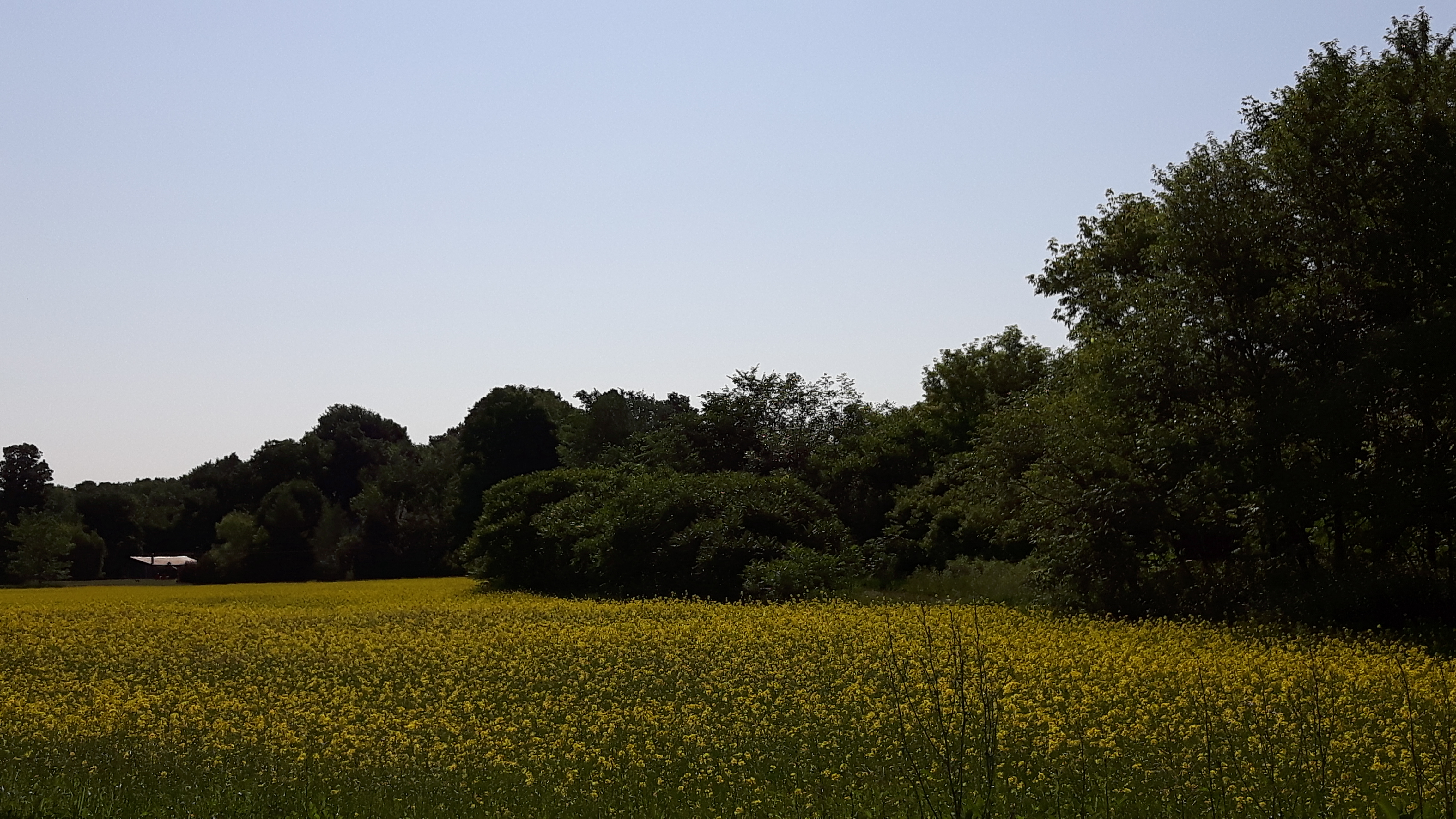
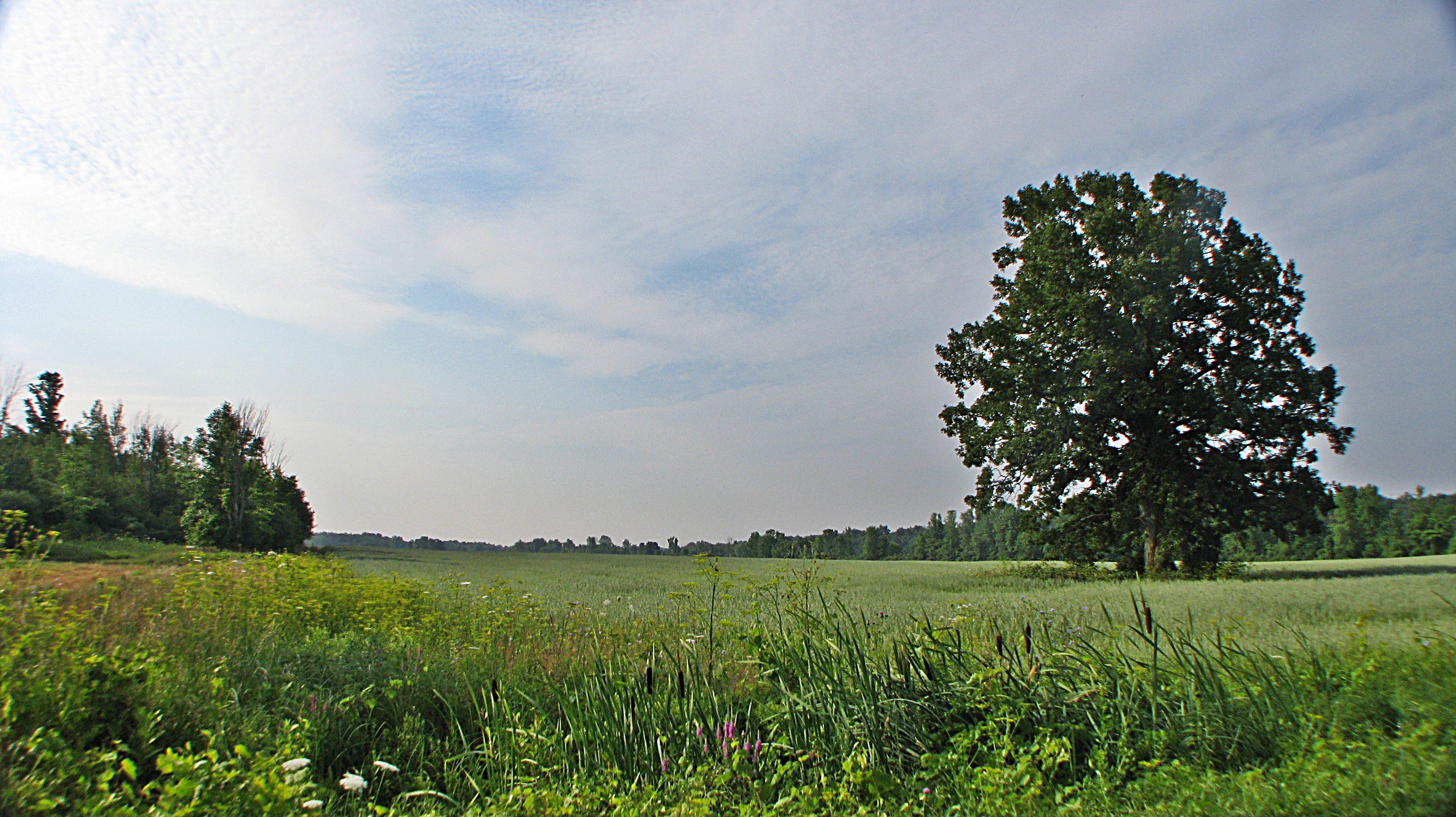
Champs de maïs
Châteauguay
Huntingdon, Québec
Topographic Map of Rang Dumas, Ormstown, QC J0S, Canada
Find elevation by address:

Places near Rang Dumas, Ormstown, QC J0S, Canada:
Ormstown
1370 Qc-209
27 Rue Lambton
Franklin
Chemin de Covey Hill, Hinchinbrooke, QC J0S 1E0, Canada
Chemin Larocque, Ormstown, QC J0S, Canada
Rang de Tullochgorum, Ormstown, QC J0S, Canada
3113 Chemin Greig
4e Rang, Ormstown, QC J0S, Canada
Hinchinbrooke
3e Rang, Howick, QC J0S 1G0, Canada
Le Haut-saint-laurent Regional County Municipality
99 Rang Saint-antoine
Howick
1 Rue Richard
106 Rue Legault
Saint-stanislas-de-kostka
Rue Centrale, Saint-Stanislas-de-Kostka, QC J0S, Canada
Chemin Rankin, Godmanchester, QC J0S 1H0, Canada
Godmanchester
Recent Searches:
- Elevation of Corso Fratelli Cairoli, 35, Macerata MC, Italy
- Elevation of Tallevast Rd, Sarasota, FL, USA
- Elevation of 4th St E, Sonoma, CA, USA
- Elevation of Black Hollow Rd, Pennsdale, PA, USA
- Elevation of Oakland Ave, Williamsport, PA, USA
- Elevation of Pedrógão Grande, Portugal
- Elevation of Klee Dr, Martinsburg, WV, USA
- Elevation of Via Roma, Pieranica CR, Italy
- Elevation of Tavkvetili Mountain, Georgia
- Elevation of Hartfords Bluff Cir, Mt Pleasant, SC, USA