Elevation of Le Haut-Saint-Laurent Regional County Municipality, QC, Canada
Location: Canada > Québec >
Longitude: -74.128134
Latitude: 45.057683
Elevation: 49m / 161feet
Barometric Pressure: 101KPa
Elevation Map:
Satellite Map:
Related Photos:

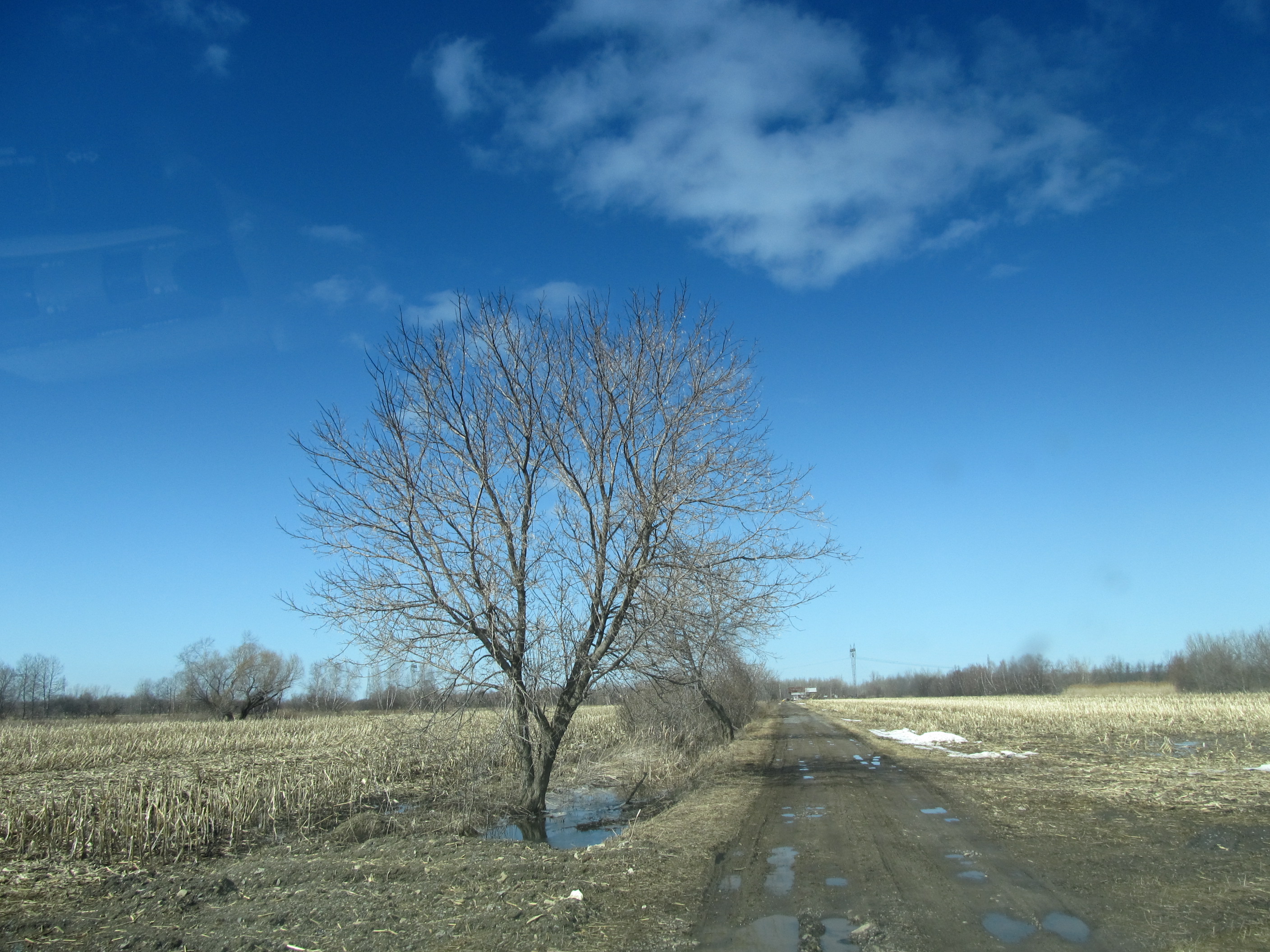
pl20nov10 005
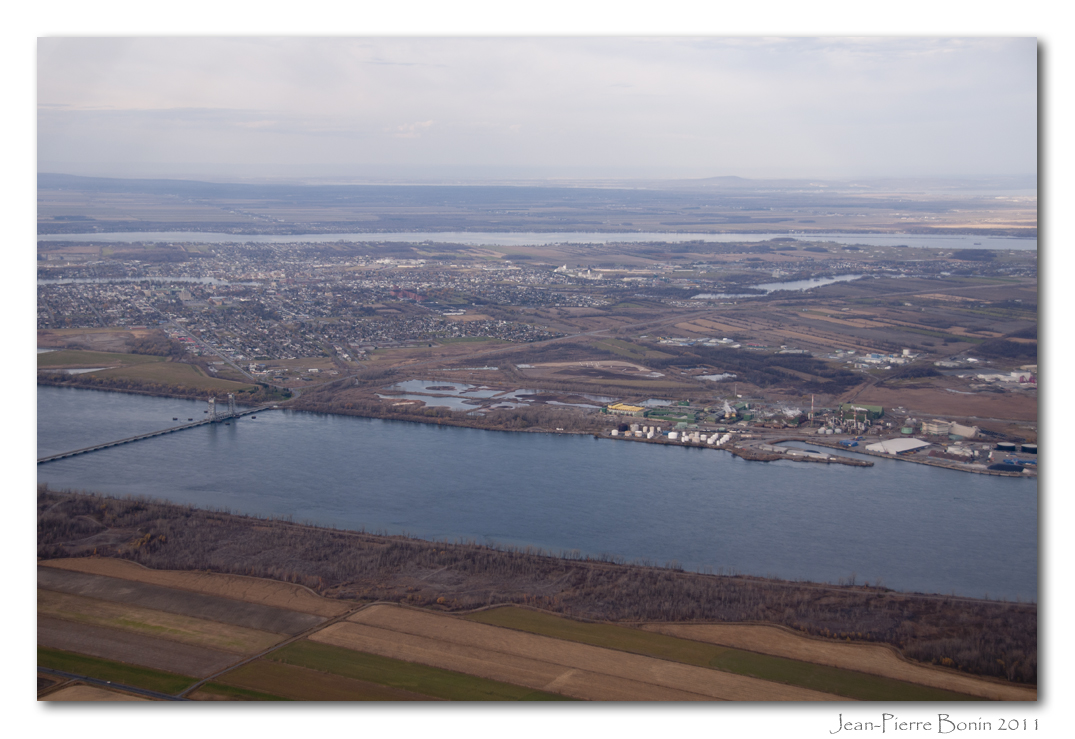
pl10nov06ormstownpres2 copy
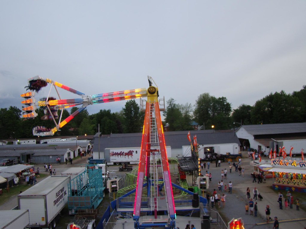
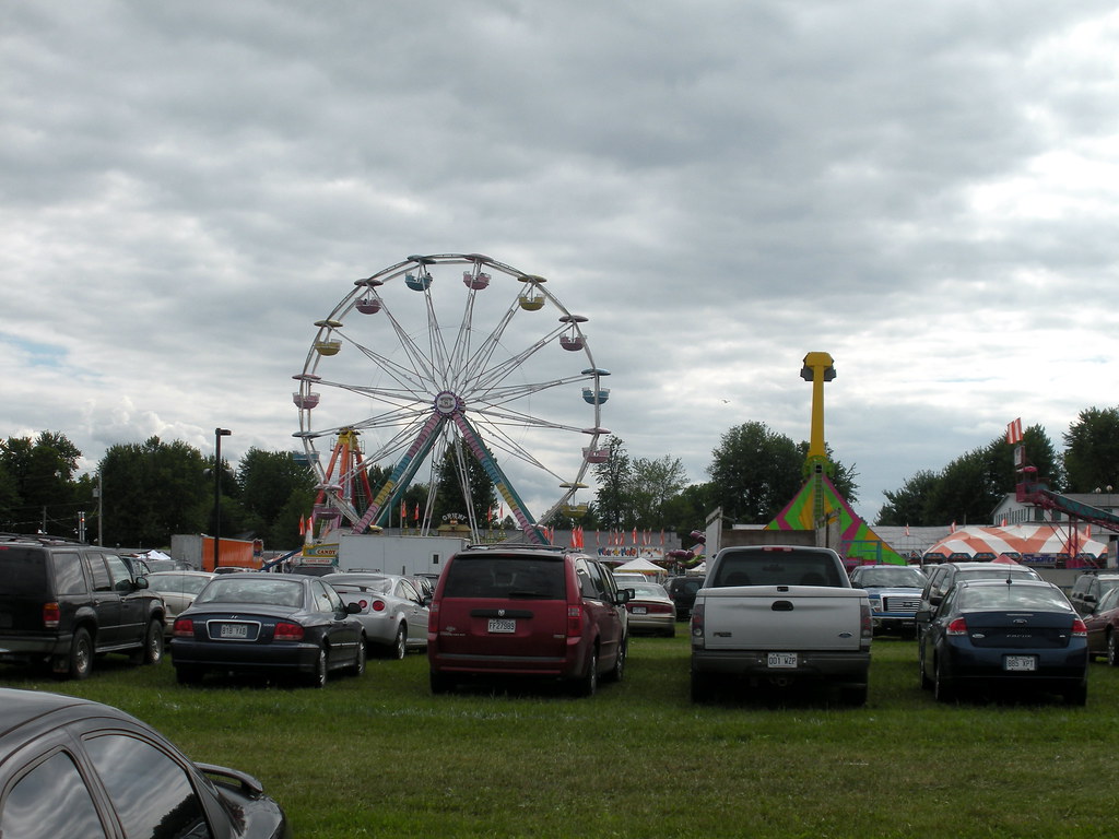
Ormstown Fair / Expo d'Ormstown
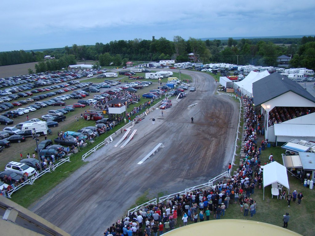
View of Midway from Parking Lot
Ormstown Fair / Expo d'Ormstown
Ormstown Fair / Expo d'Ormstown

View of midway from parking lot
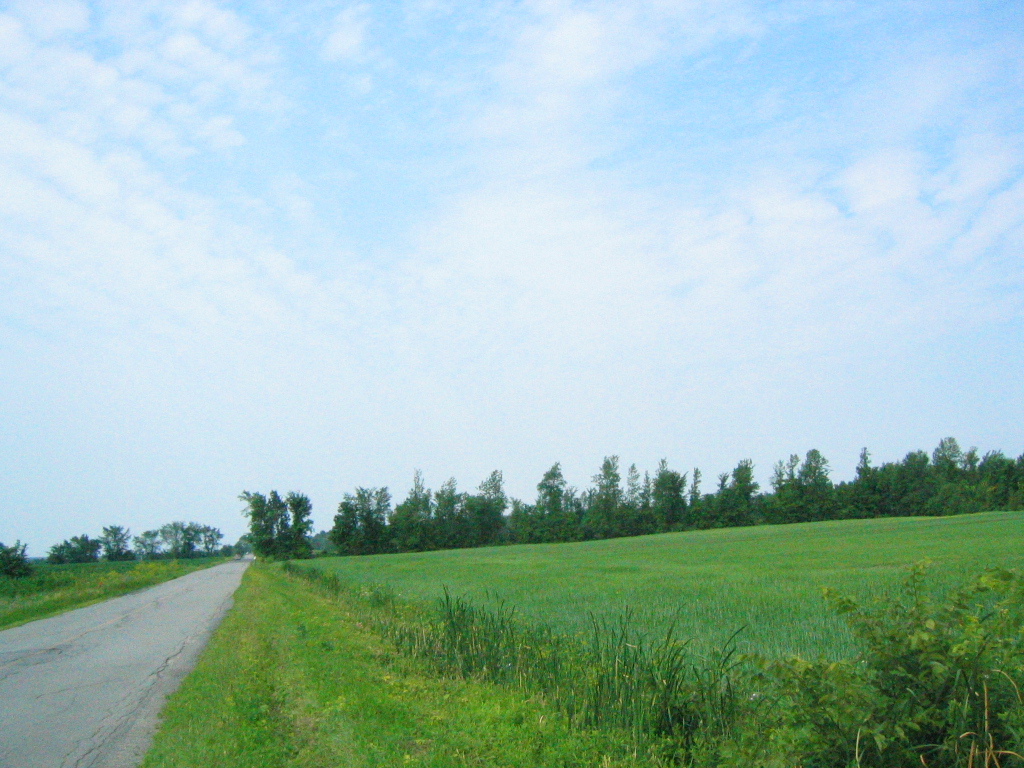
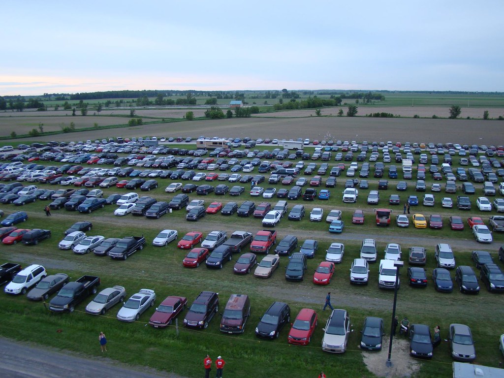
ride road

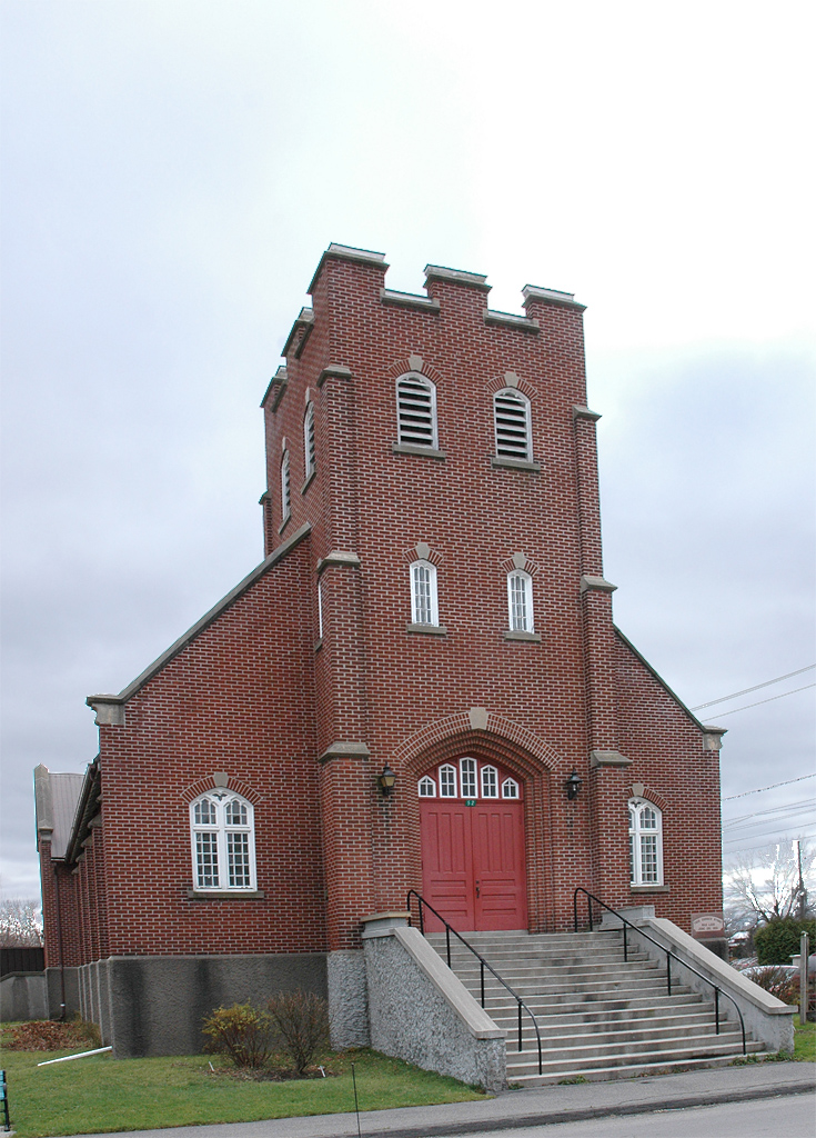
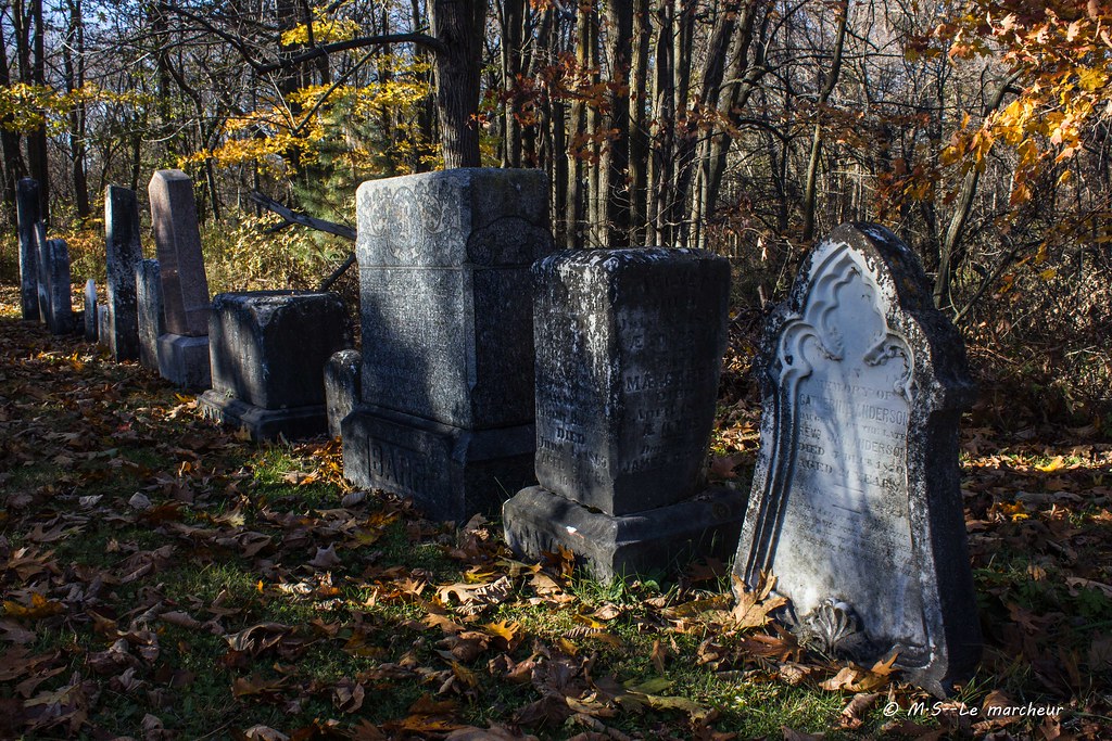
St Andrew Presbyterian Church in Huntingdon, Qc
GUEJ_2013-06-03_10-18-28.jpg

GUEJ_2013-06-03_09-21-12.jpg

GUEJ_2013-06-03_06-46-20-4.jpg

GUEJ_2013-06-03_10-17-09.jpg

GUEJ_2013-06-03_10-03-36.jpg

GUEJ_2013-06-03_10-29-35.jpg

Sigma 150-600mm f/5-6.3 Sport Review
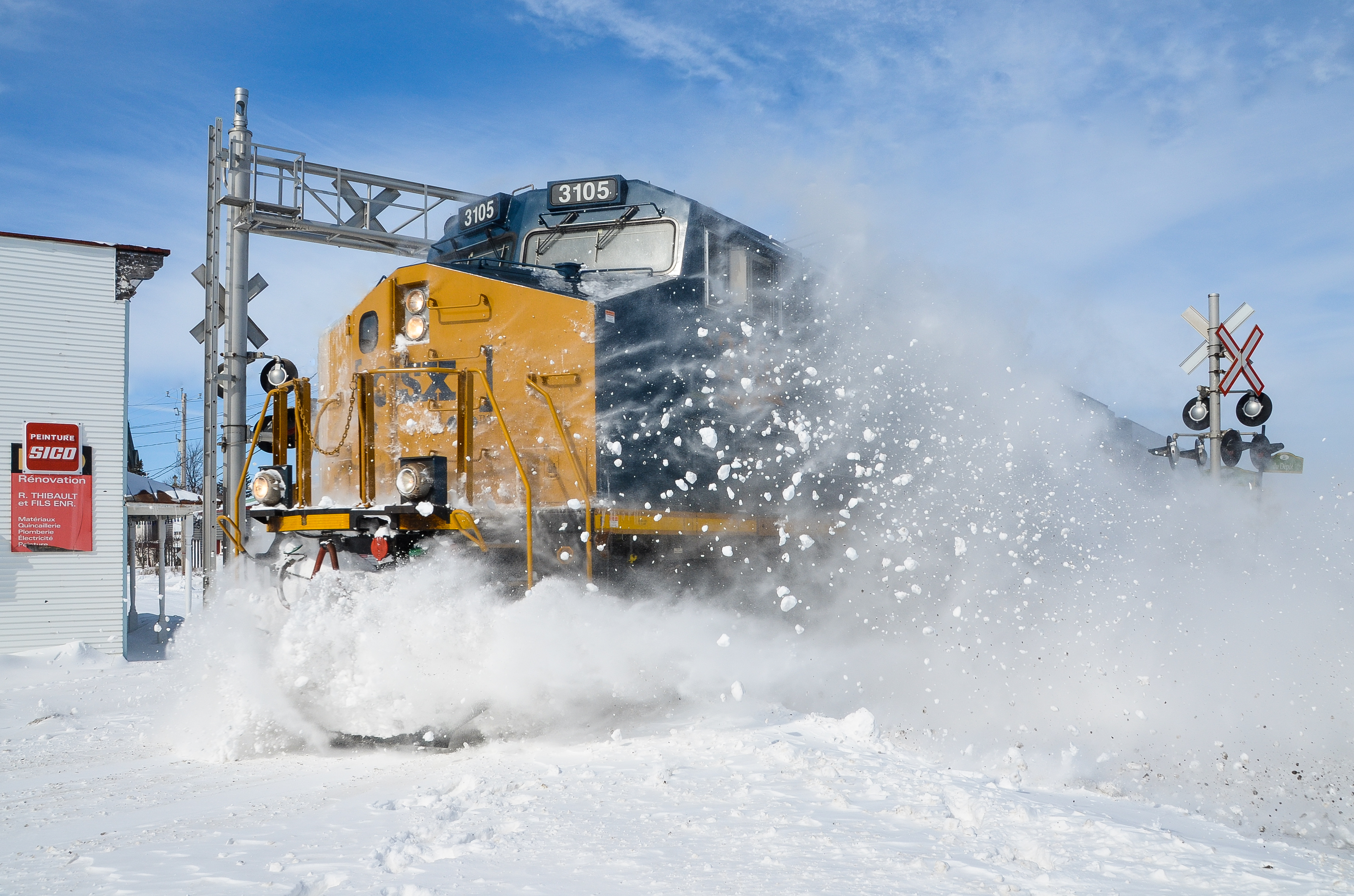
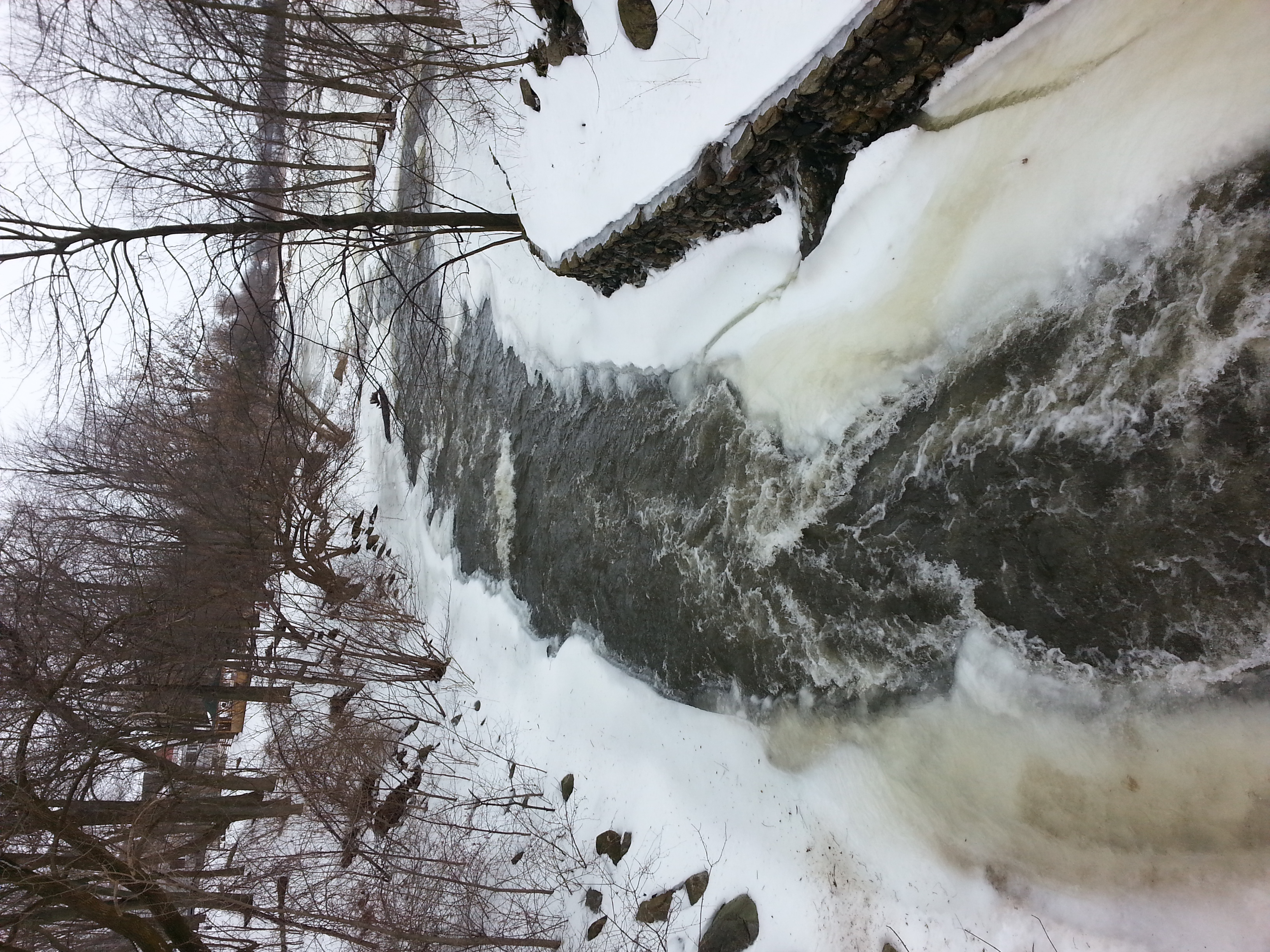
Snow bank busting!
Point d'eau
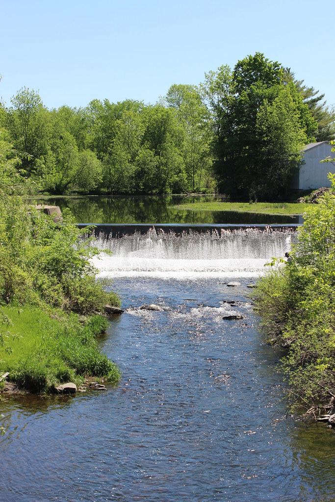
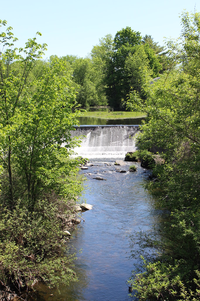
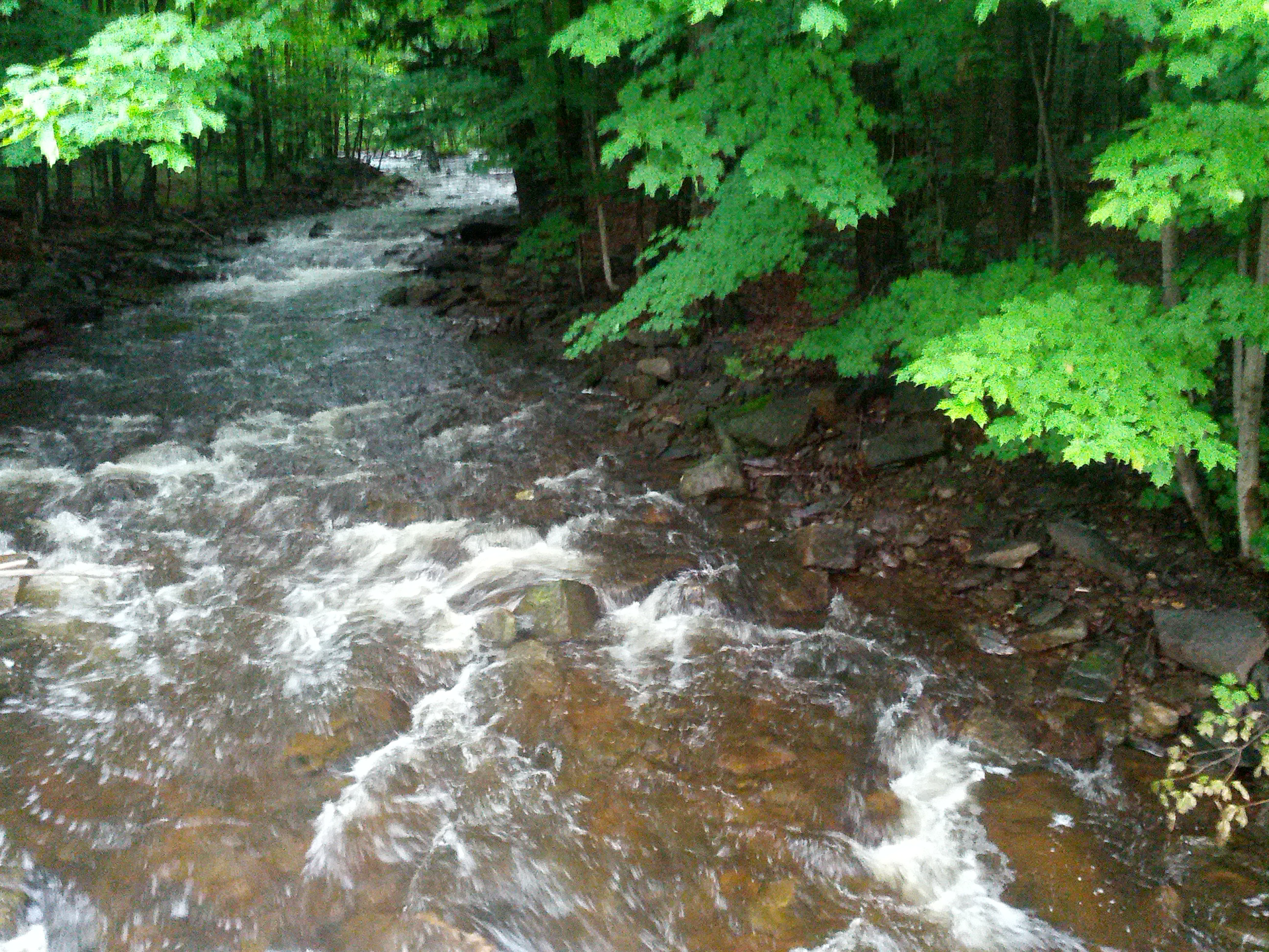
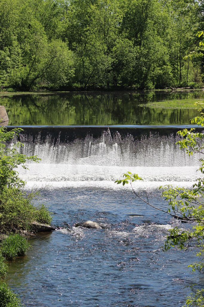
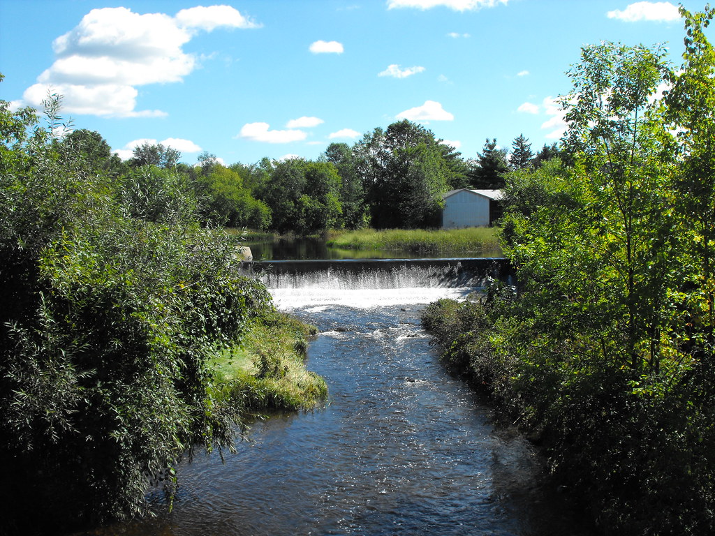
Dam on Hinchinbrooke River
Little Dam in Athelstan, Qc
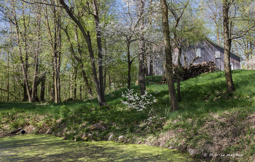
Dewittville, Québec
Rockburn, Québec
Rockburn, Québec
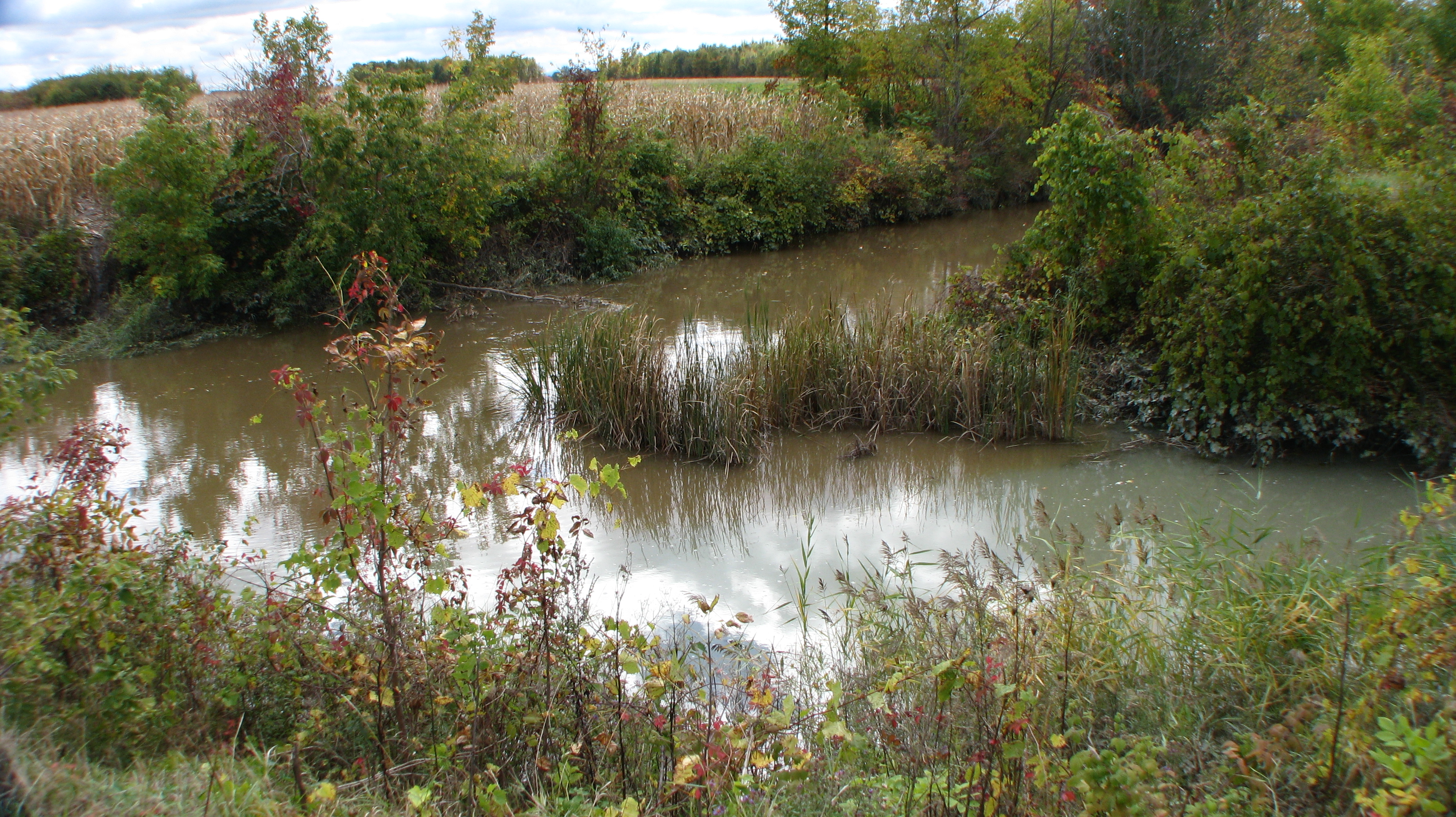
Le marais
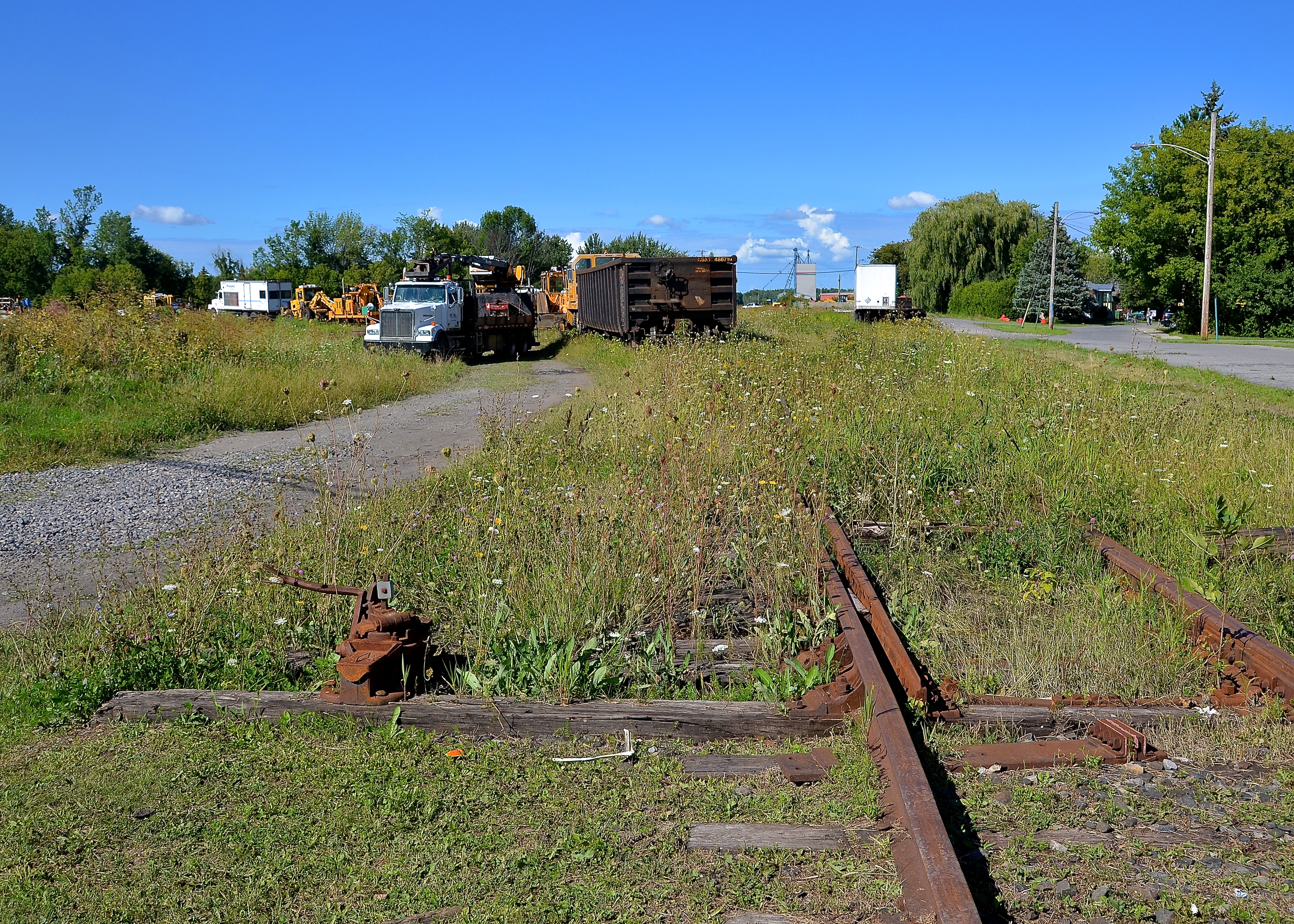
Unused and unneeded switch
Pour l’occasion de Halloween 2015
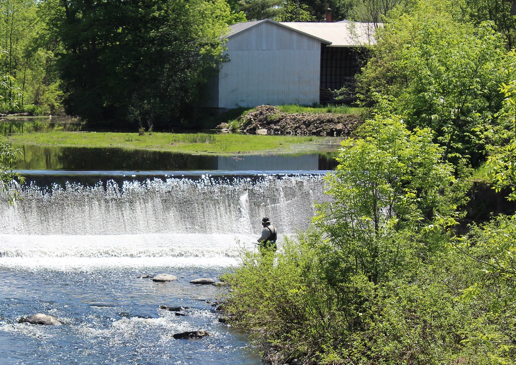
Fisherman in Athelstan, QC
Dam in Athelstan
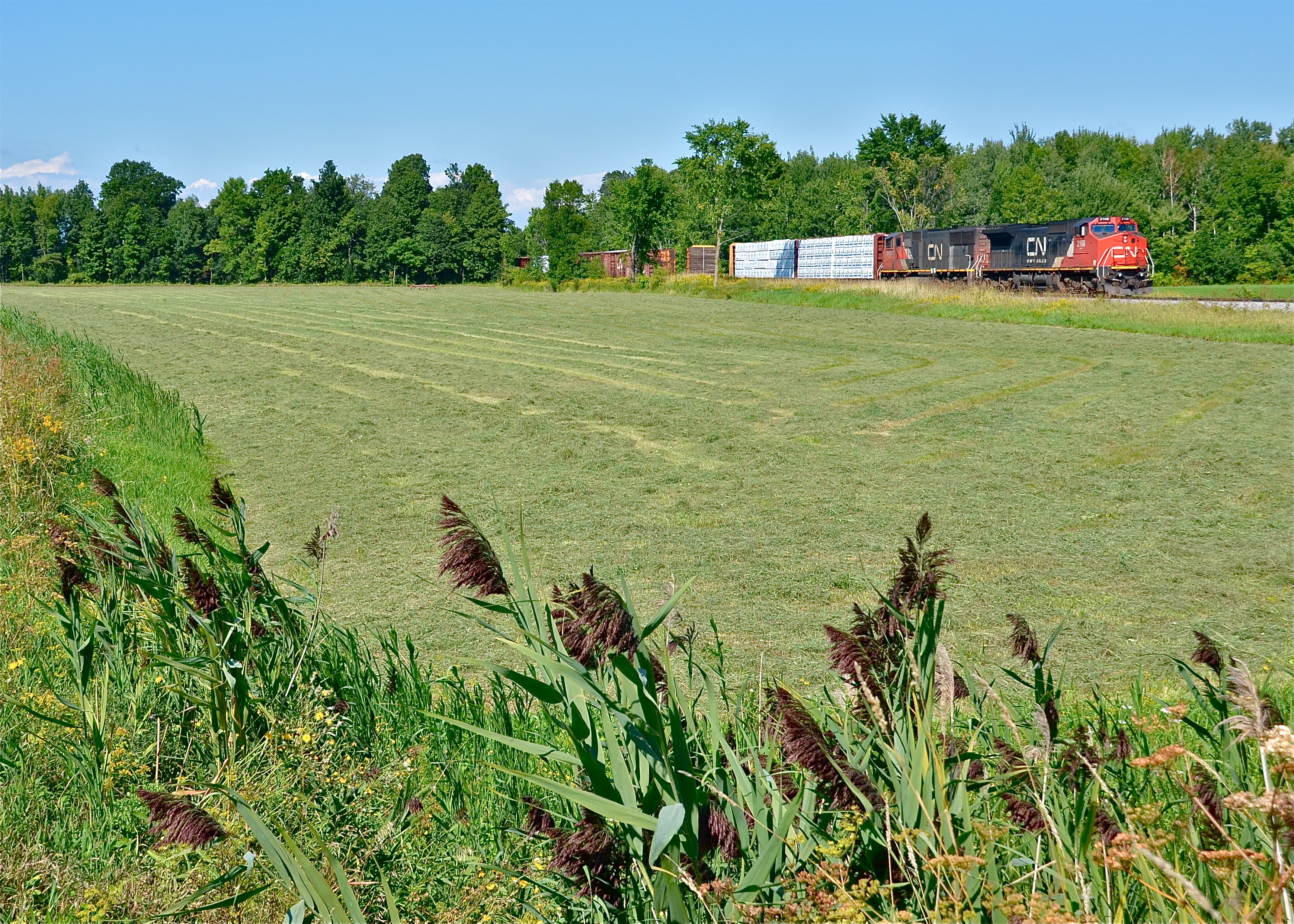
CN 327 stopped

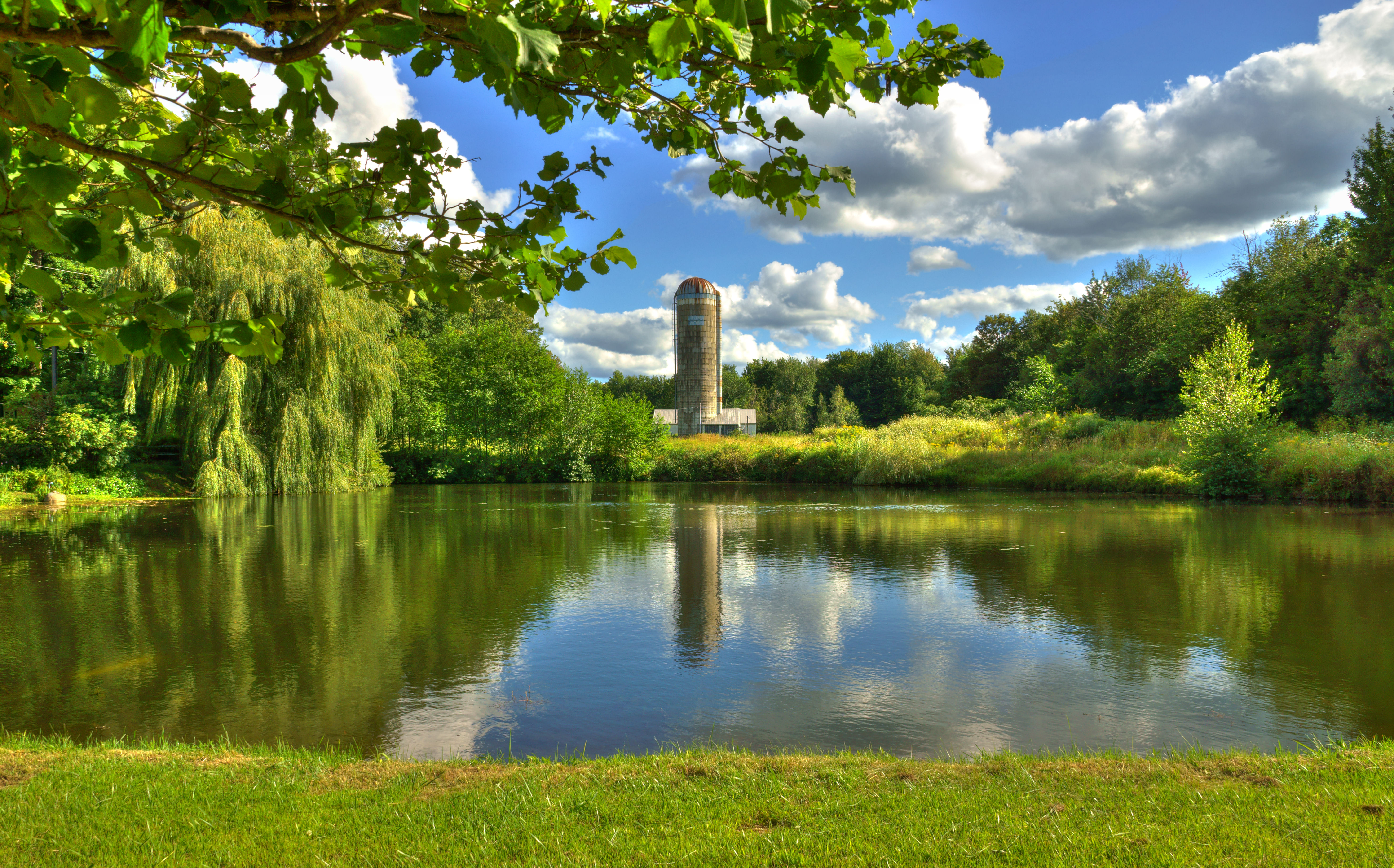
Montérégie
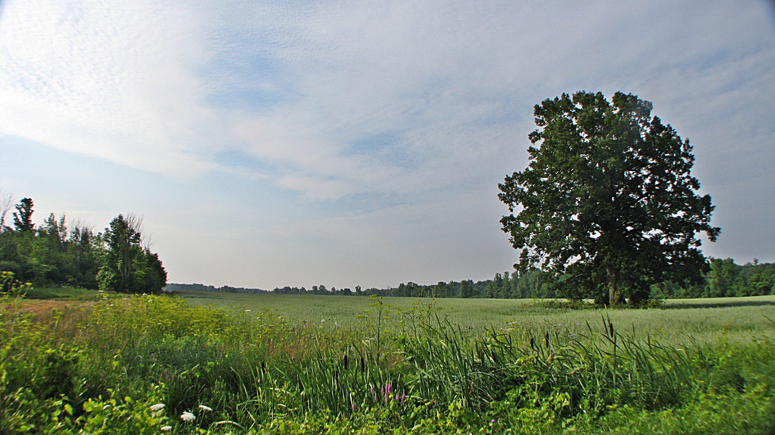
landscape shot
Canal de Beauharnois, Pont Larocque, Salaberry-de-Valleyfield, Rivière St-Charles (Fleuve St-Laurent), Fleuve St-Laurent, Coteau-du-Lac, Les Cèdres
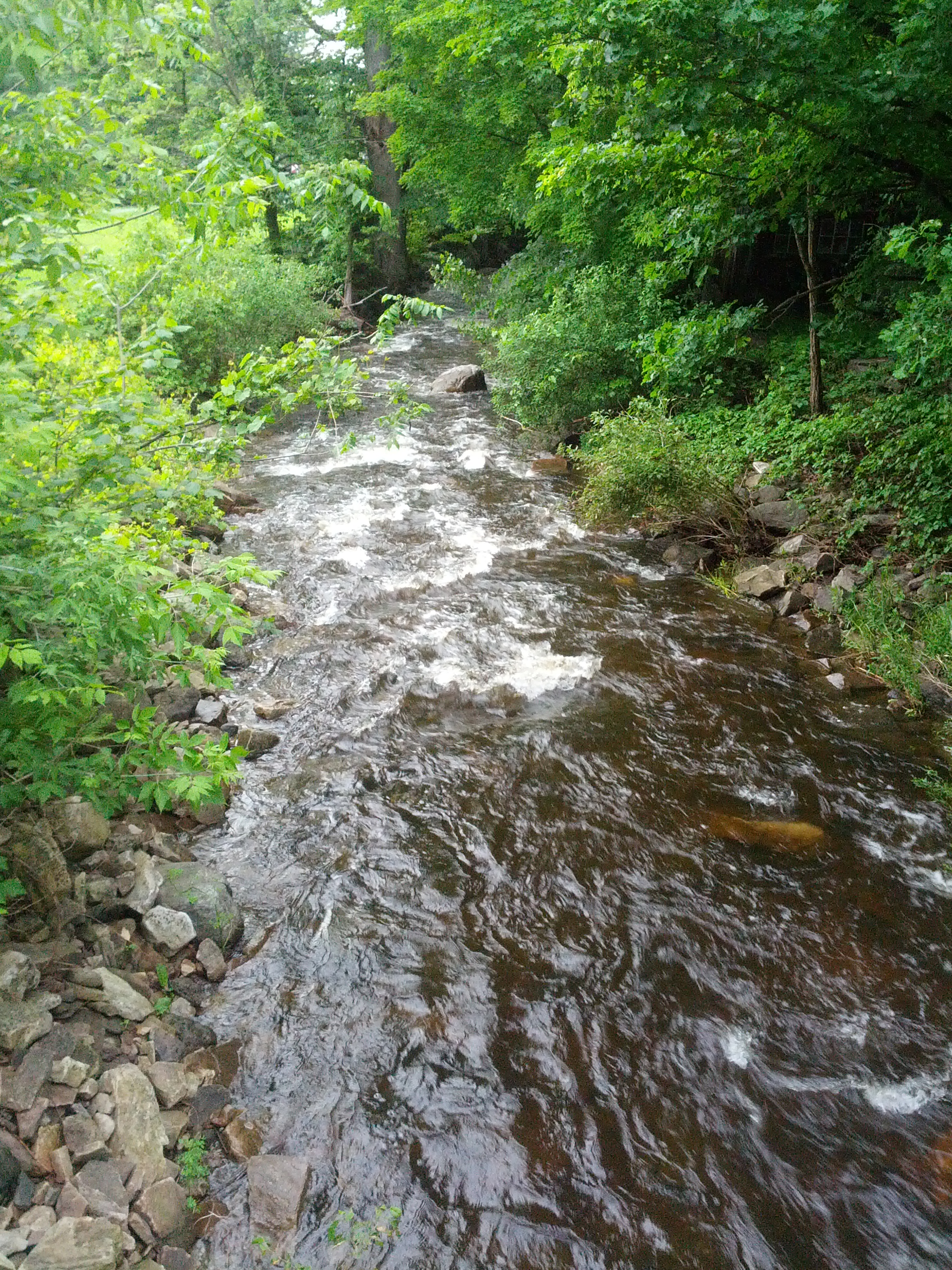
Dam on Hinchinbrooke River in Athelstan
Huntingdon, Québec
Jonction rivière et canal Saint-Louis
Topographic Map of Le Haut-Saint-Laurent Regional County Municipality, QC, Canada
Find elevation by address:

Places in Le Haut-Saint-Laurent Regional County Municipality, QC, Canada:
Ormstown
Godmanchester
Saint-anicet
Saint-chrysostome
Sunday Dr, Québec H0M 1A1, Canada
3e Rang, Howick, QC J0S 1G0, Canada
Chemin de la 2 Concession, Elgin, QC J0S 2E0, Canada
Chemin du Bord de l'Eau, Sainte-Barbe, QC J0S, Canada
Rue Notre Dame, Saint-Chrysostome, QC J0S 1R0, Canada
Havelock
Franklin
Hinchinbrooke
Howick
Places near Le Haut-Saint-Laurent Regional County Municipality, QC, Canada:
Hinchinbrooke
106 Rue Legault
Godmanchester
Godmanchester
Chemin Rankin, Godmanchester, QC J0S 1H0, Canada
Rue Centrale, Saint-Stanislas-de-Kostka, QC J0S, Canada
Saint-stanislas-de-kostka
Chemin Carrefour Front, Godmanchester, QC J0S 1H0, Canada
Chemin Larocque, Ormstown, QC J0S, Canada
Chemin de la 2 Concession, Elgin, QC J0S 2E0, Canada
Montée Carr, Elgin, QC J0S 2E0, Canada
Chemin du Bord de l'Eau, Sainte-Barbe, QC J0S, Canada
673 Rang Dumas
27 Rue Lambton
Ormstown
Salaberry-de-valleyfield
1370 Qc-209
60 Rue Grande Île, Salaberry-de-Valleyfield, QC J6S 3L8, Canada
Saint-anicet
77 Rue de Venise, Coteau-du-Lac, QC J0P 1B0, Canada
Recent Searches:
- Elevation of Corso Fratelli Cairoli, 35, Macerata MC, Italy
- Elevation of Tallevast Rd, Sarasota, FL, USA
- Elevation of 4th St E, Sonoma, CA, USA
- Elevation of Black Hollow Rd, Pennsdale, PA, USA
- Elevation of Oakland Ave, Williamsport, PA, USA
- Elevation of Pedrógão Grande, Portugal
- Elevation of Klee Dr, Martinsburg, WV, USA
- Elevation of Via Roma, Pieranica CR, Italy
- Elevation of Tavkvetili Mountain, Georgia
- Elevation of Hartfords Bluff Cir, Mt Pleasant, SC, USA