Elevation of Chemin Greig, Ormstown, QC J0S, Canada
Location: Canada > Québec > Le Haut-saint-laurent Regional County Municipality > Ormstown >
Longitude: -73.887203
Latitude: 45.1031233
Elevation: 71m / 233feet
Barometric Pressure: 100KPa
Elevation Map:
Satellite Map:
Related Photos:

A view within Le Pont Turcot in Howick, Quebec

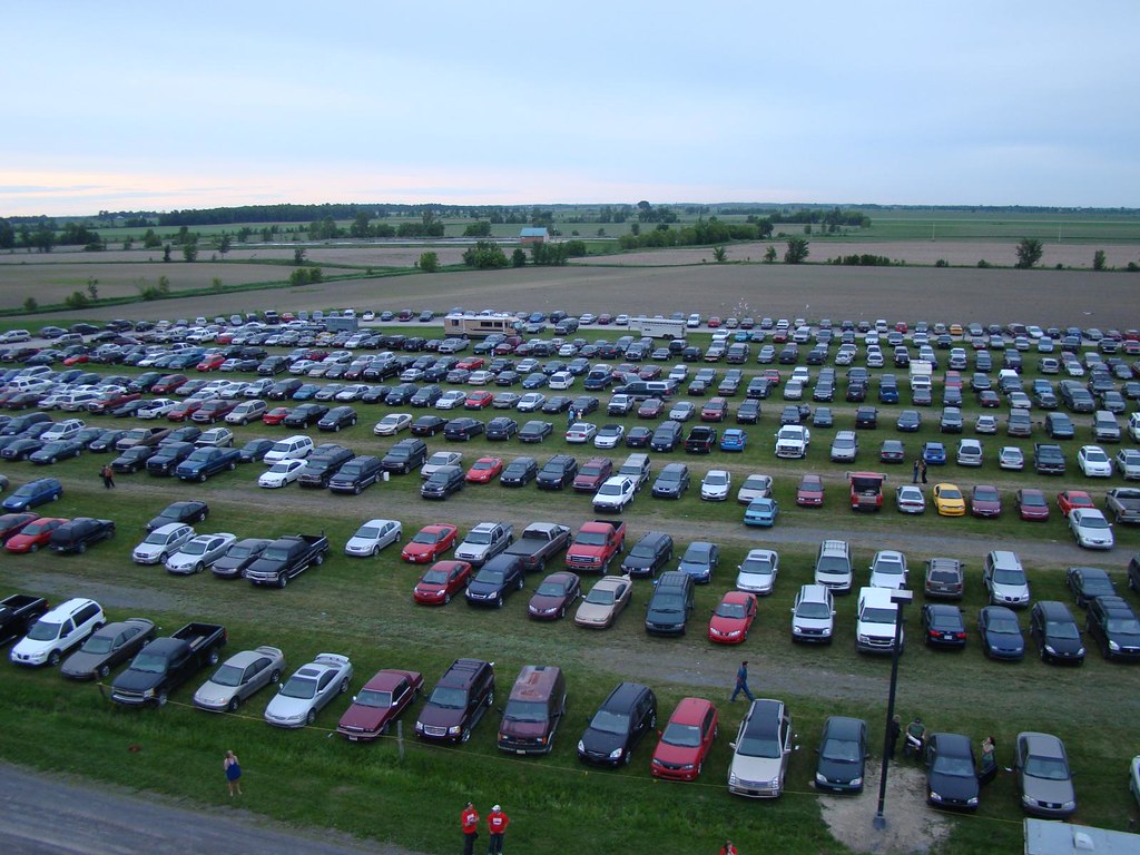
View of Midway from Parking Lot

Ormstown Fair / Expo d'Ormstown

View of midway from parking lot

Ormstown Fair / Expo d'Ormstown

White-tailed Deer
Ormstown Fair / Expo d'Ormstown

pl10nov06ormstownpres2 copy

pl20nov10 005
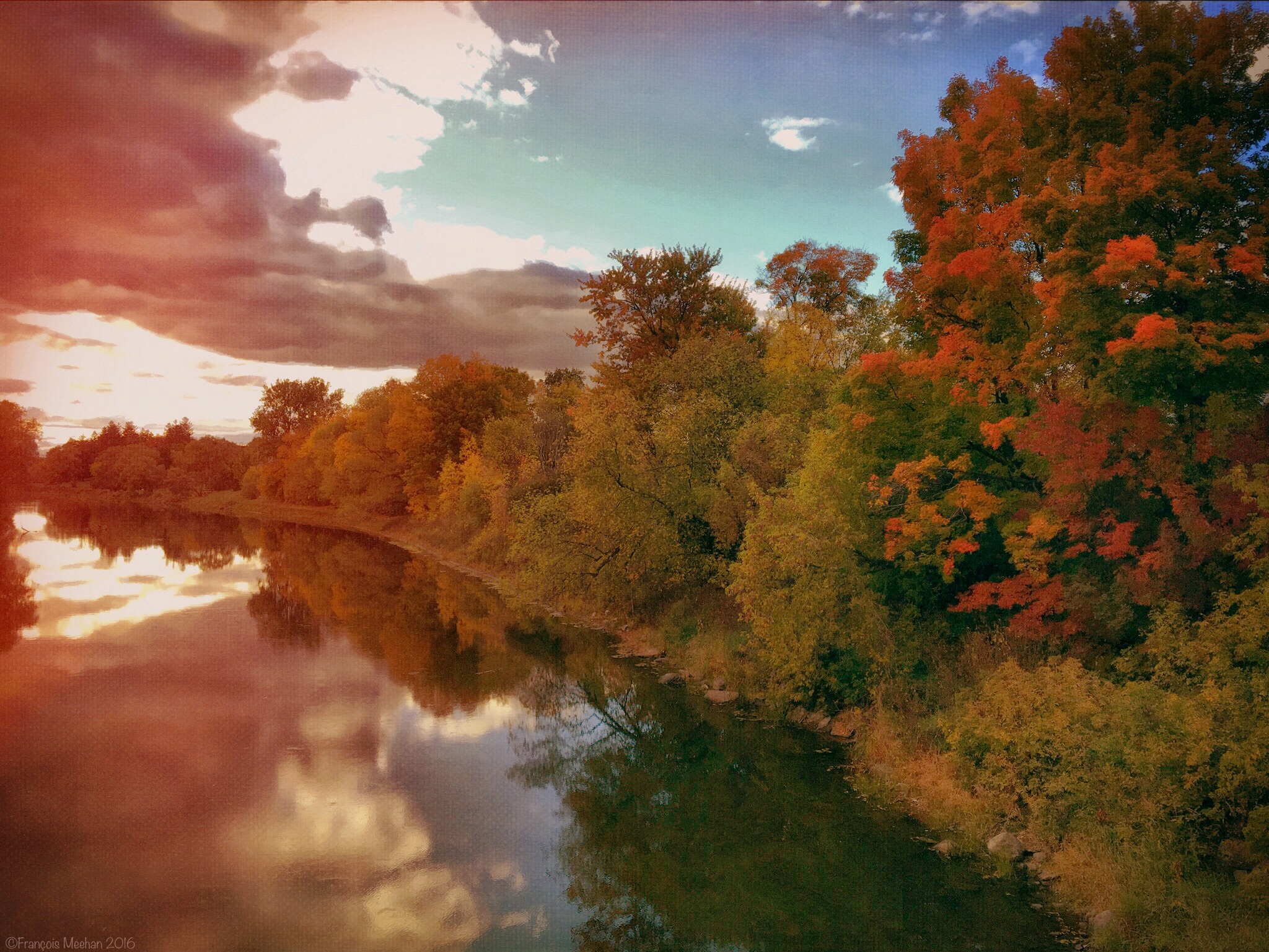
Rivière Chateauguay, Ormstown Caméra: iPhone 6s Traitement: iPad Air 2 François Meehan

Rivière des anglais

Point d'eau

Au Camping

On the Châteauguay river road near Ormstown / Sur le chemin de la rivière Châteauguay près de Ormstown, Québec, Canada (P0023742)

Au camping

Au camping

Early Fall Landscape

Champs de maïs

Modern maple syrup tapping

Hungry Bay, Lac St-François (Fleuve St-Laurent), Canal de Beauharnois, Pont Larocque, Salaberry-de-Valleyfield

Norton Creek Road

Abandoned house

Sugar Shack

Modern maple syrup tapping

Chez Charles

Pour l’occasion de Halloween 2015

Châteauguay

Dunn Cemetery

Fall river stream
Topographic Map of Chemin Greig, Ormstown, QC J0S, Canada
Find elevation by address:

Places near Chemin Greig, Ormstown, QC J0S, Canada:
4e Rang, Ormstown, QC J0S, Canada
Rang de Tullochgorum, Ormstown, QC J0S, Canada
Franklin
3e Rang, Howick, QC J0S 1G0, Canada
99 Rang Saint-antoine
1370 Qc-209
Chemin de Covey Hill, Hinchinbrooke, QC J0S 1E0, Canada
Ormstown
Howick
1 Rue Richard
673 Rang Dumas
Aubrey
27 Rue Lambton
Saint-chrysostome
Rue Notre Dame, Saint-Chrysostome, QC J0S 1R0, Canada
Chemin Larocque, Ormstown, QC J0S, Canada
Chemin De Covey Hill
Havelock
Aph Cabinets
Covey Hill
Recent Searches:
- Elevation of Corso Fratelli Cairoli, 35, Macerata MC, Italy
- Elevation of Tallevast Rd, Sarasota, FL, USA
- Elevation of 4th St E, Sonoma, CA, USA
- Elevation of Black Hollow Rd, Pennsdale, PA, USA
- Elevation of Oakland Ave, Williamsport, PA, USA
- Elevation of Pedrógão Grande, Portugal
- Elevation of Klee Dr, Martinsburg, WV, USA
- Elevation of Via Roma, Pieranica CR, Italy
- Elevation of Tavkvetili Mountain, Georgia
- Elevation of Hartfords Bluff Cir, Mt Pleasant, SC, USA