Elevation of Rang de Tullochgorum, Ormstown, QC J0S, Canada
Location: Canada > Québec > Le Haut-saint-laurent Regional County Municipality > Ormstown >
Longitude: -73.921778
Latitude: 45.1341045
Elevation: 41m / 135feet
Barometric Pressure: 101KPa
Elevation Map:
Satellite Map:
Related Photos:
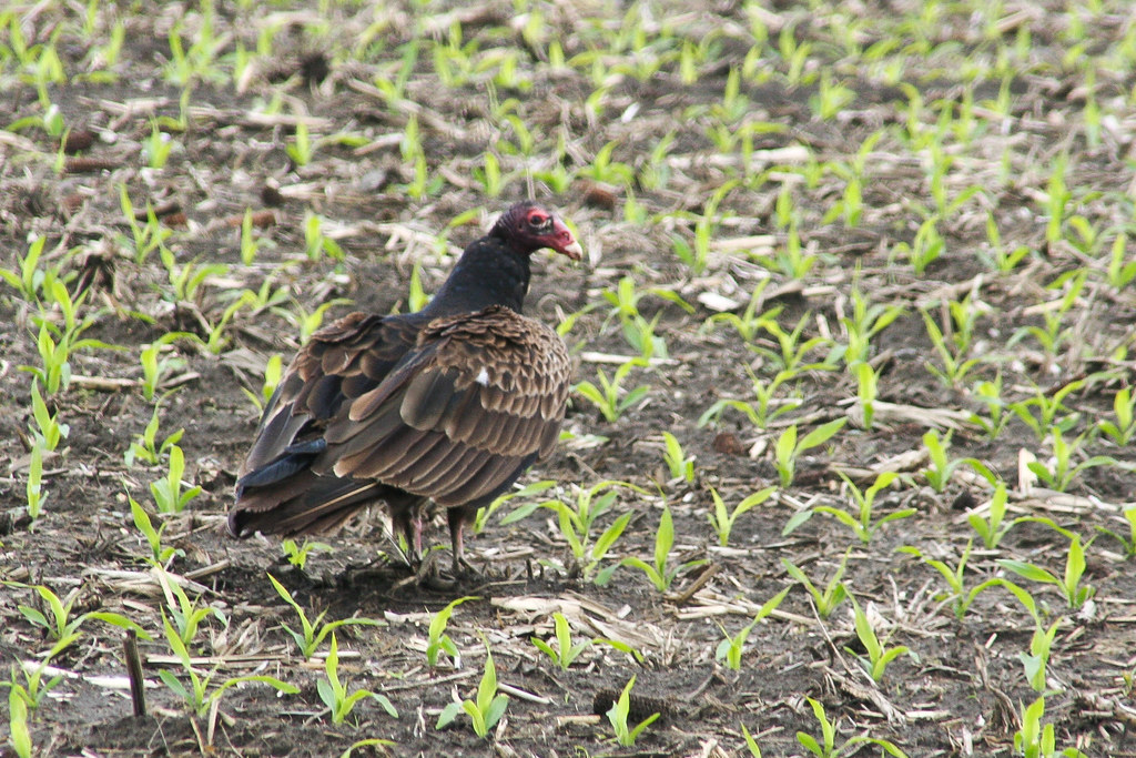
Urubu à tête rouge
pl20nov10 005

Grand Héron, Nid
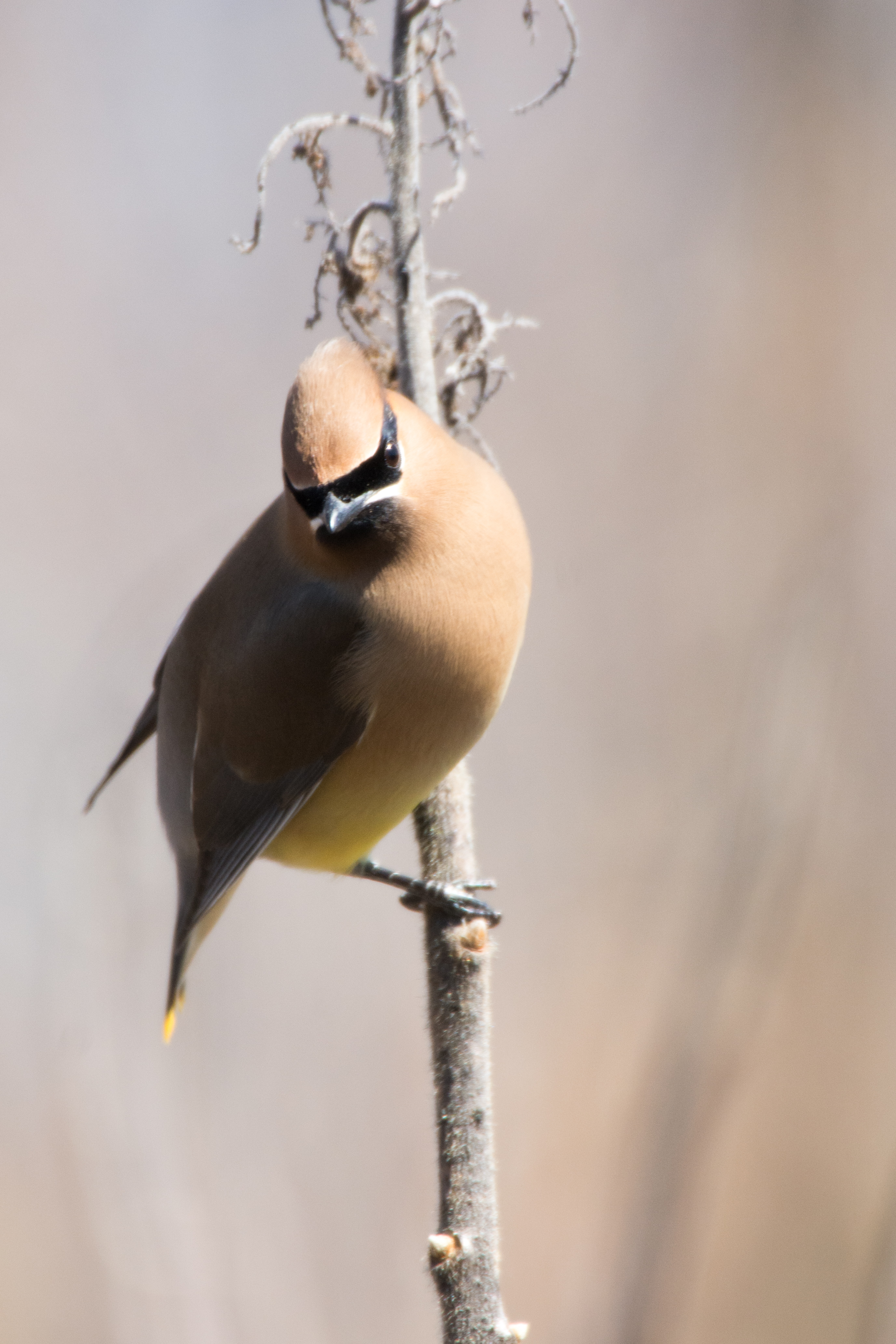
Jaseur d'Amérique

Et en voilà un!
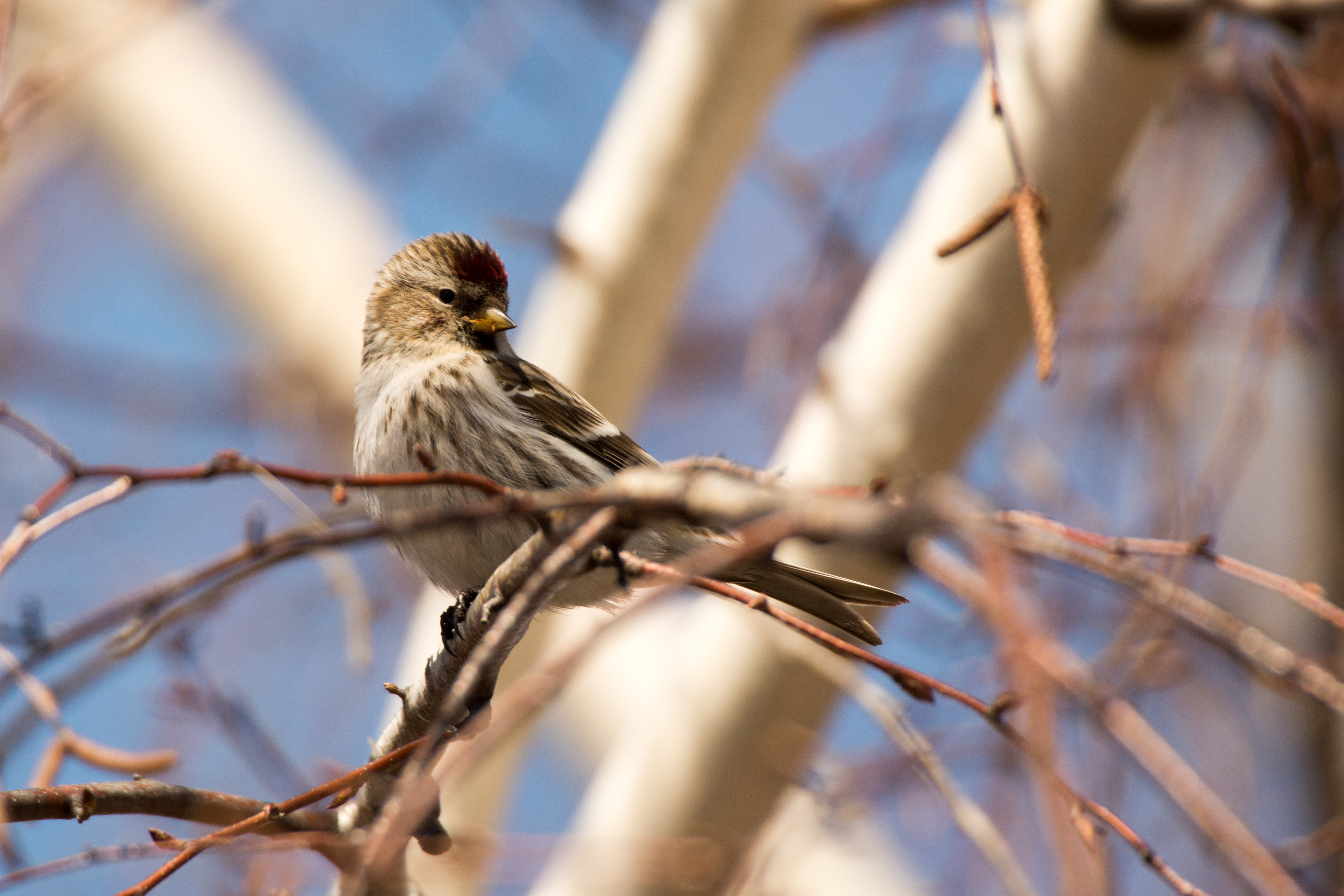
Sizerin flammé
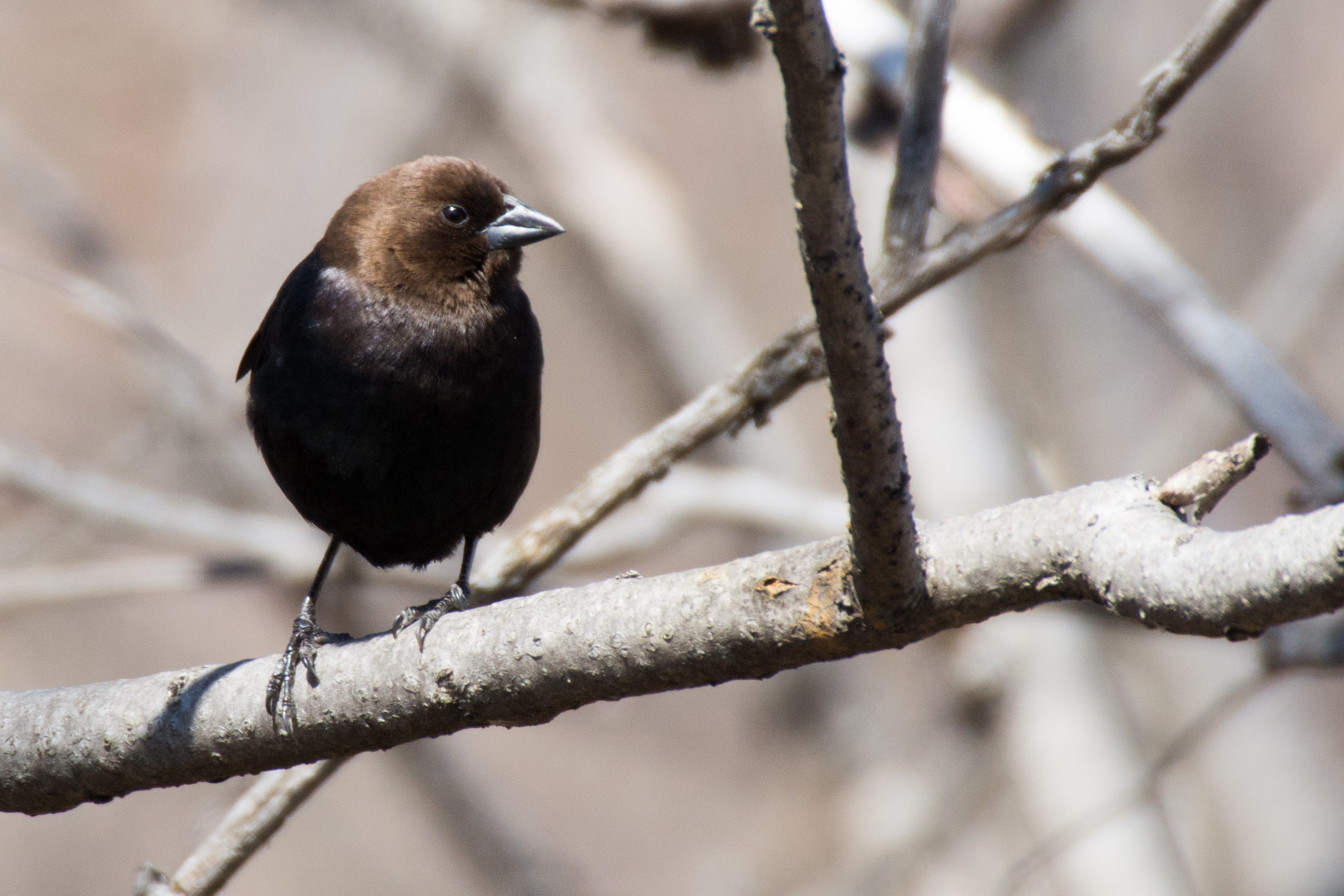
Vacher à tête brune
pl10nov06ormstownpres2 copy
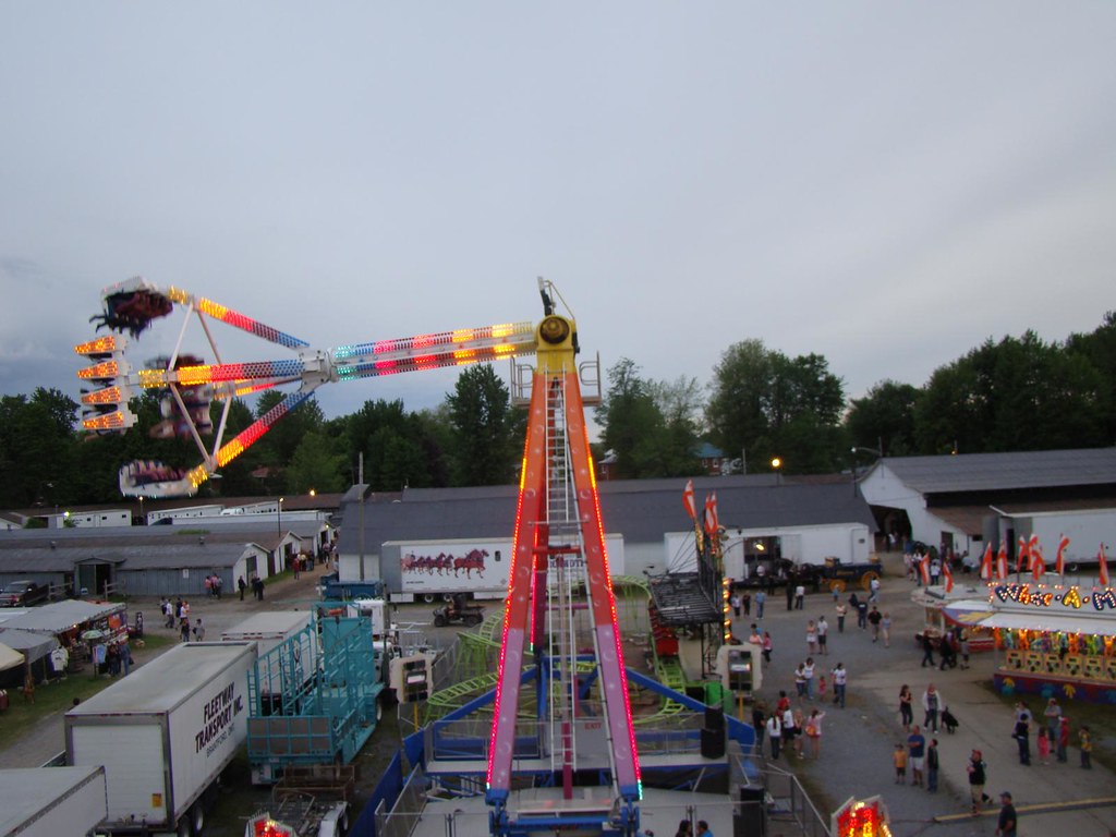
Ormstown Fair / Expo d'Ormstown
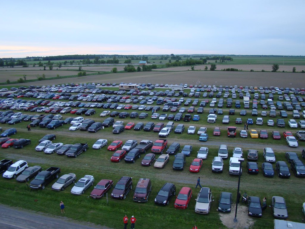
View of Midway from Parking Lot
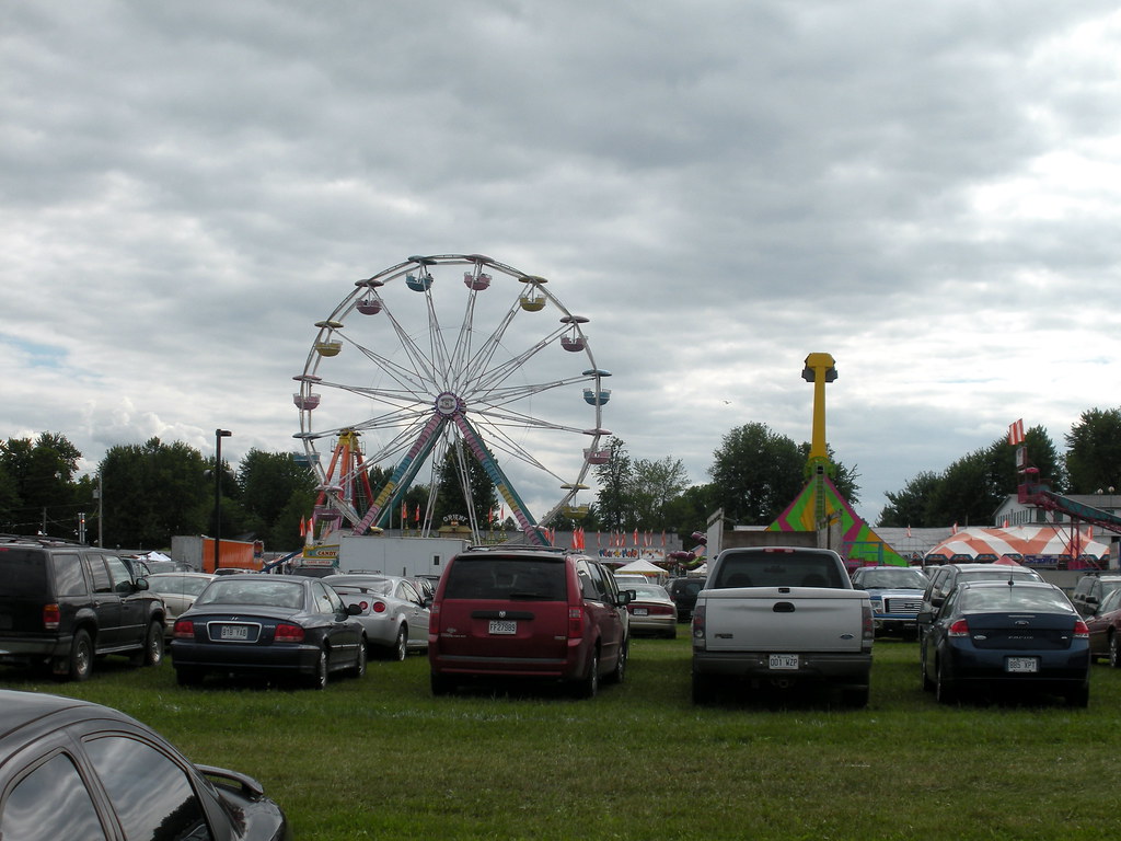
Ormstown Fair / Expo d'Ormstown
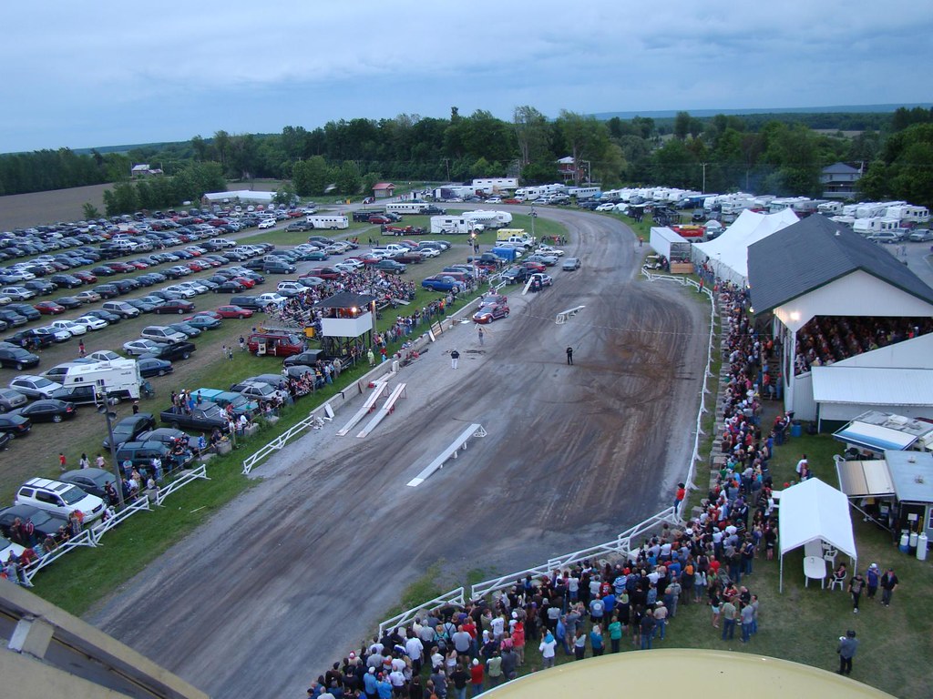
Ormstown Fair / Expo d'Ormstown
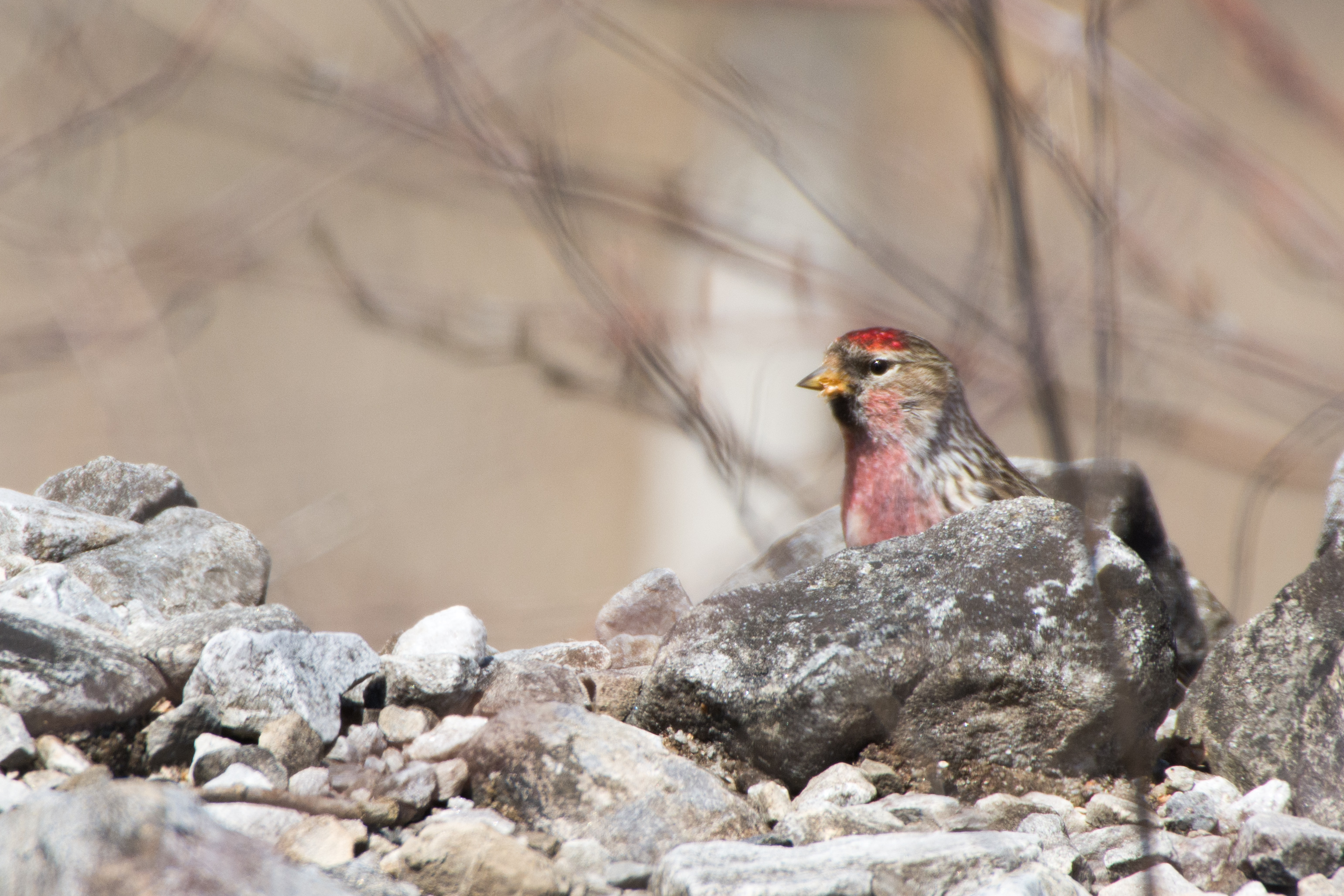
Sizerin flammé

View of midway from parking lot
GUEJ_2004-10-05_09-01-20
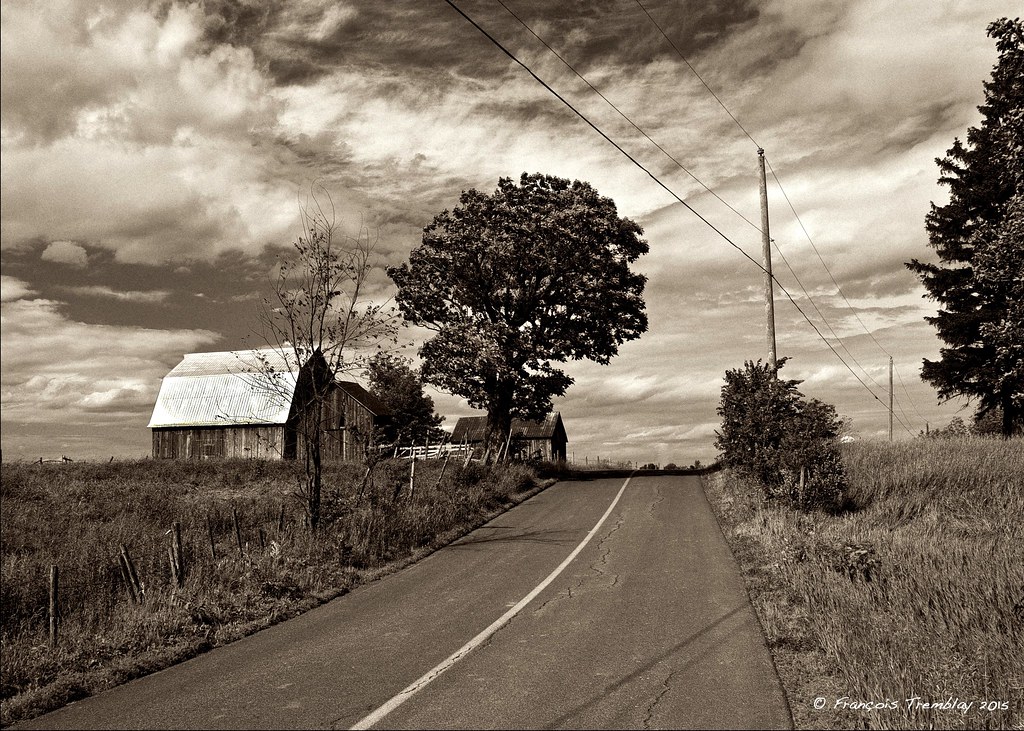
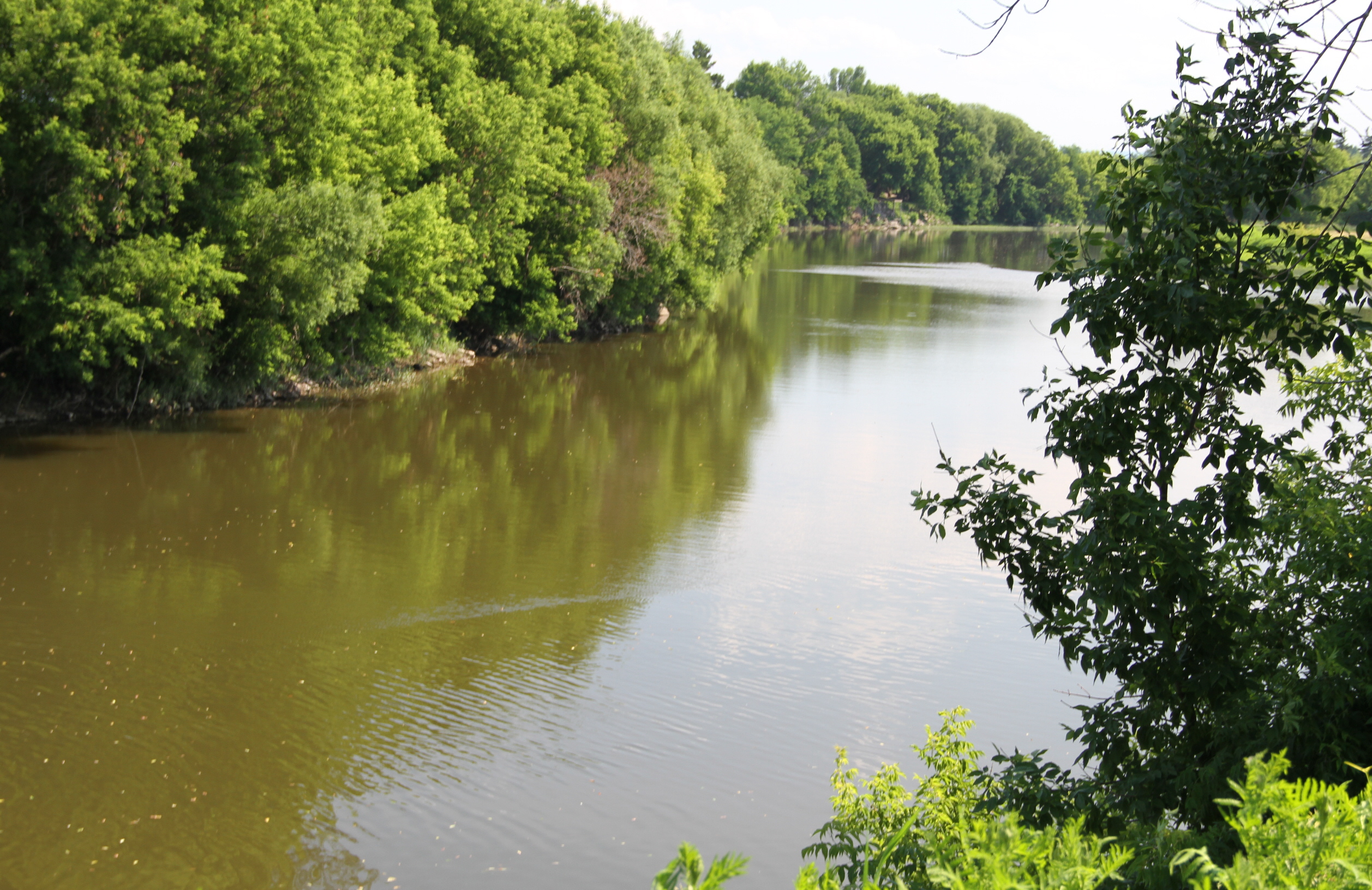
On the Châteauguay river road near Ormstown / Sur le chemin de la rivière Châteauguay près de Ormstown, Québec, Canada (P0023742)

Abandoned house
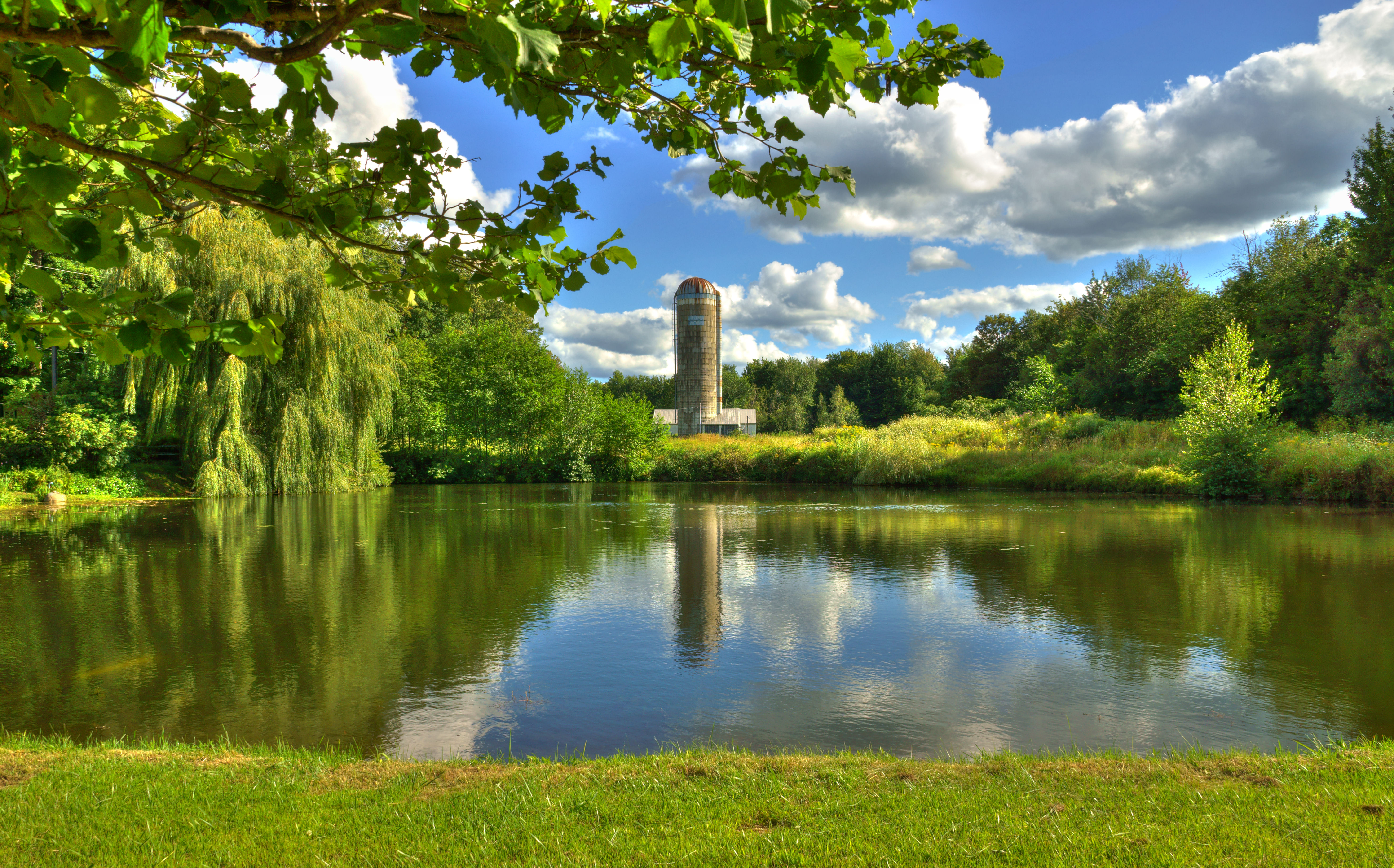
Beauharnois, Québec

Beauharnois, Québec
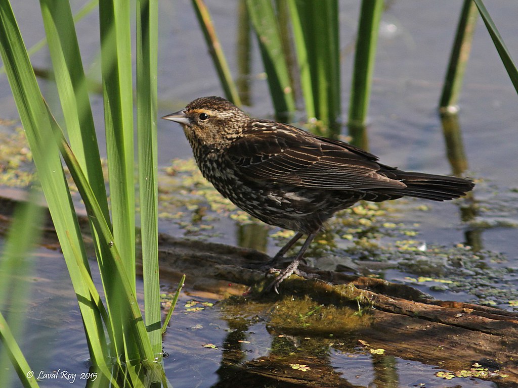
1.30150 Carouge à épaulettes (femelle) / Agelaius phoeniceus phoeniceus / Red-winged Blackbird (female)
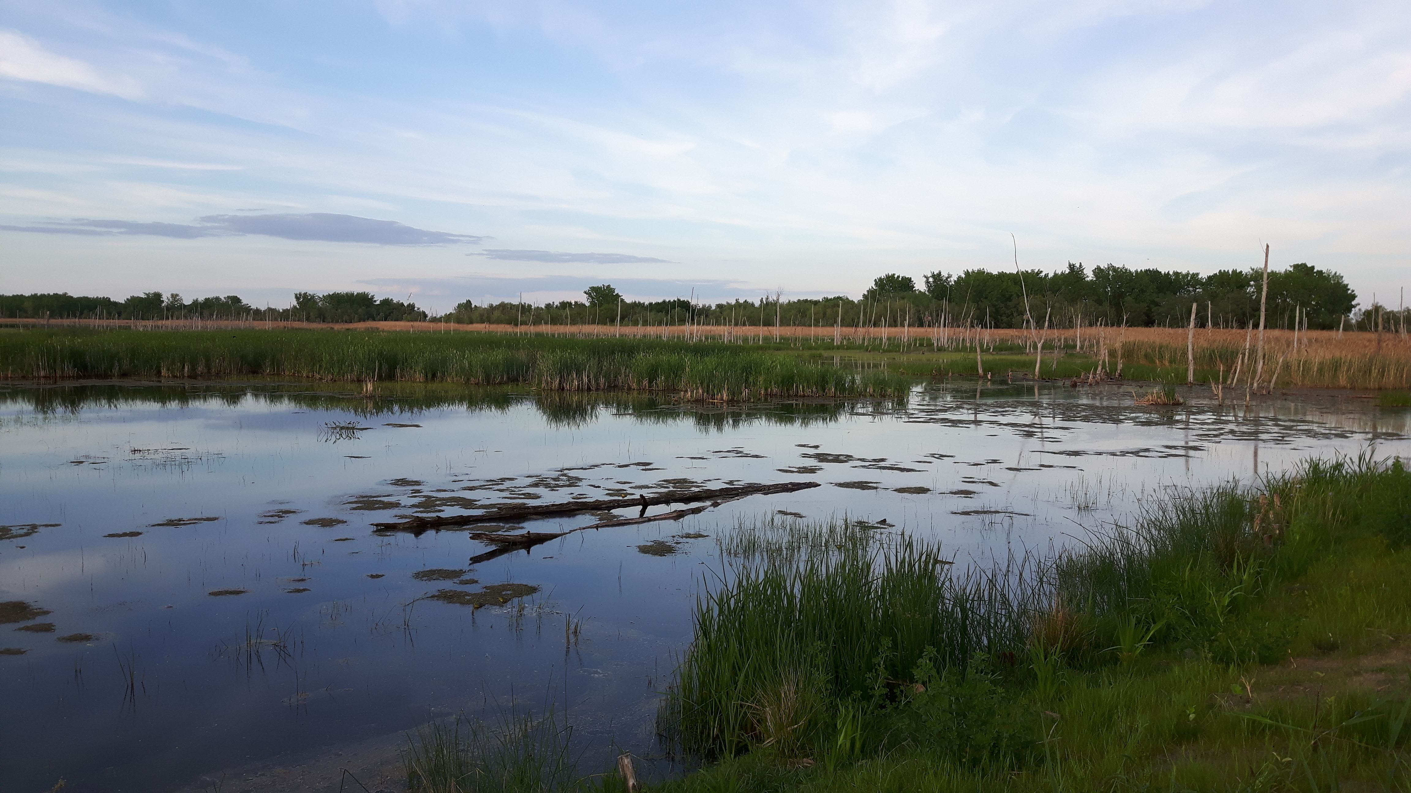
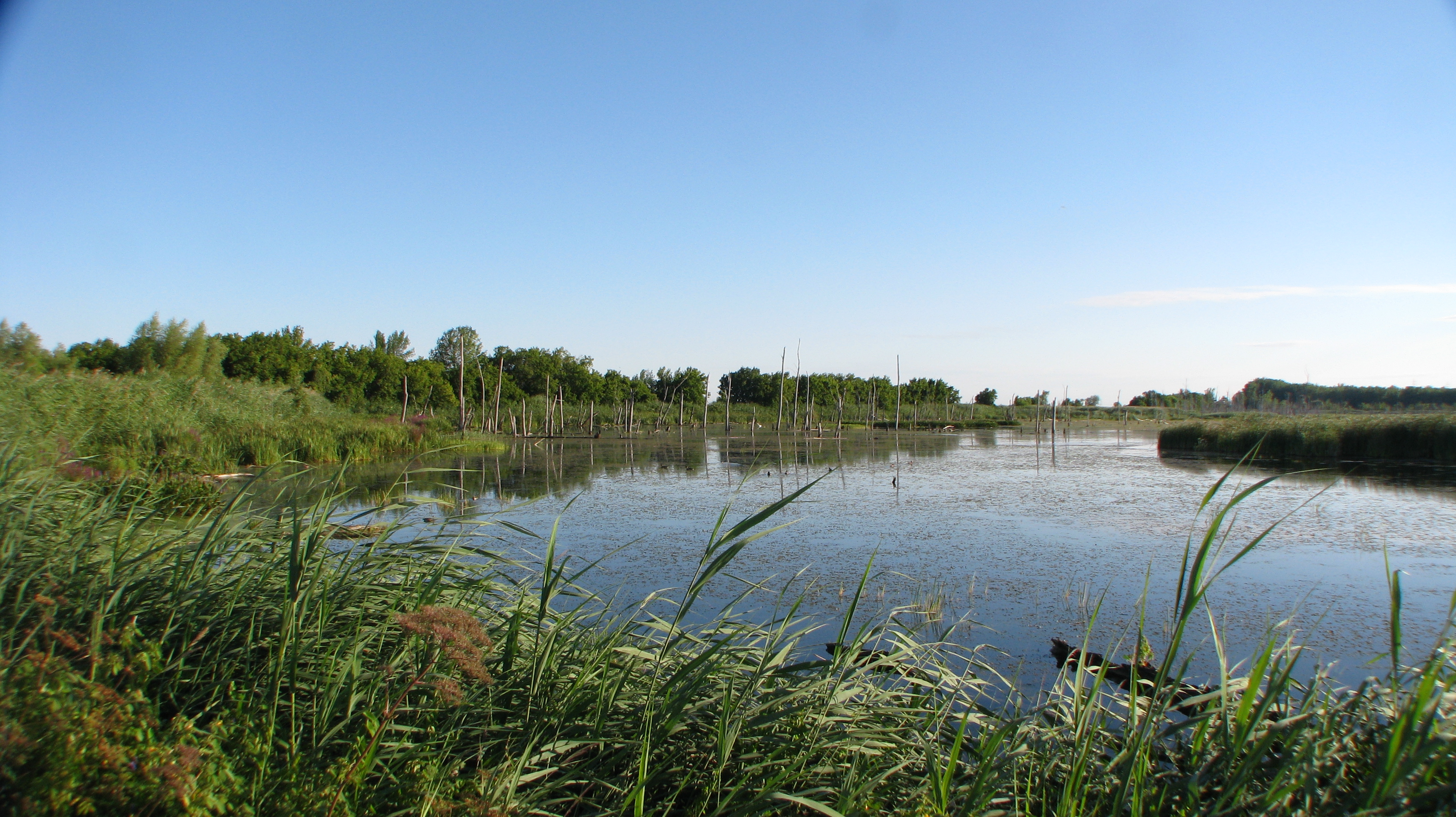
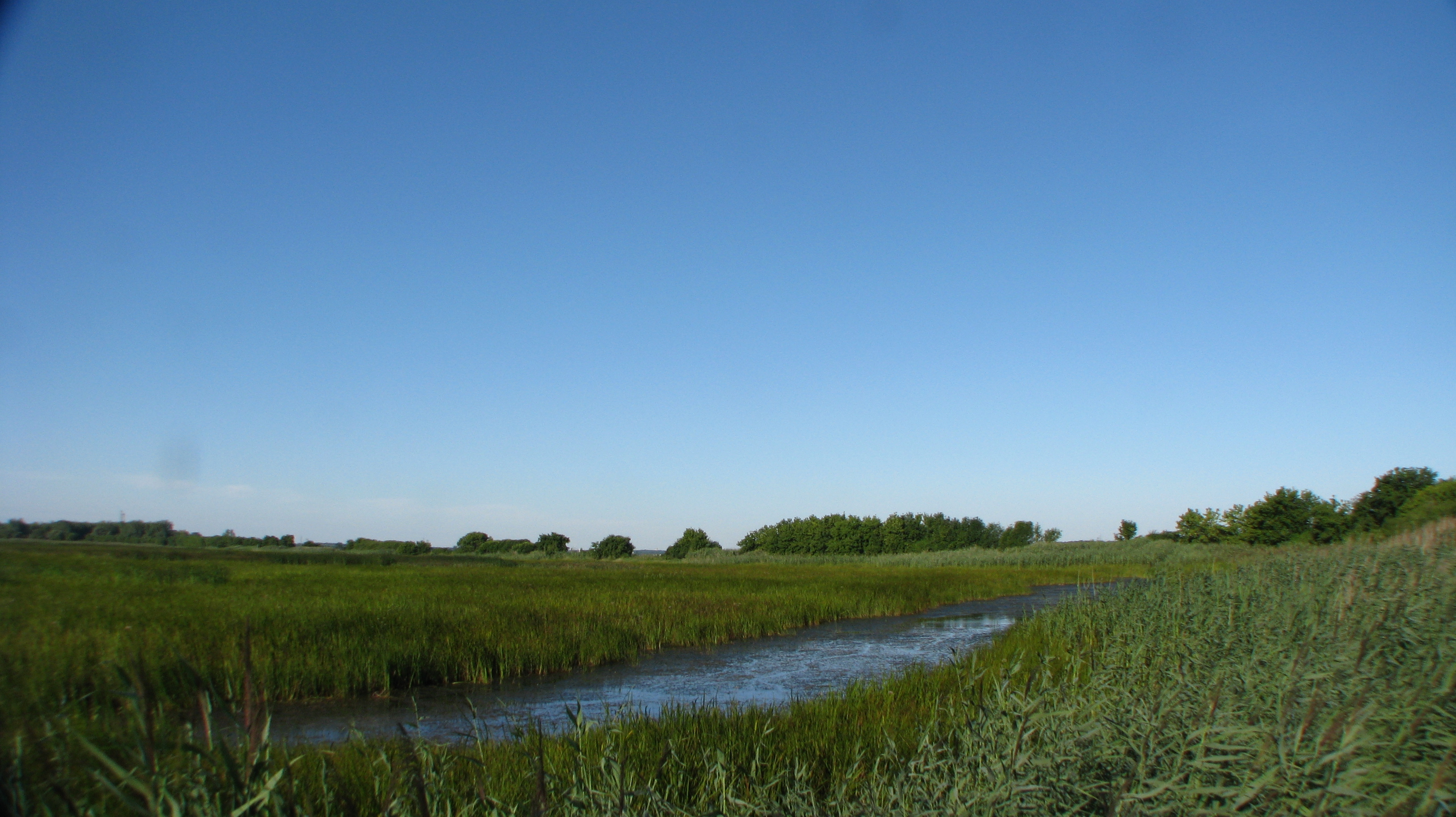
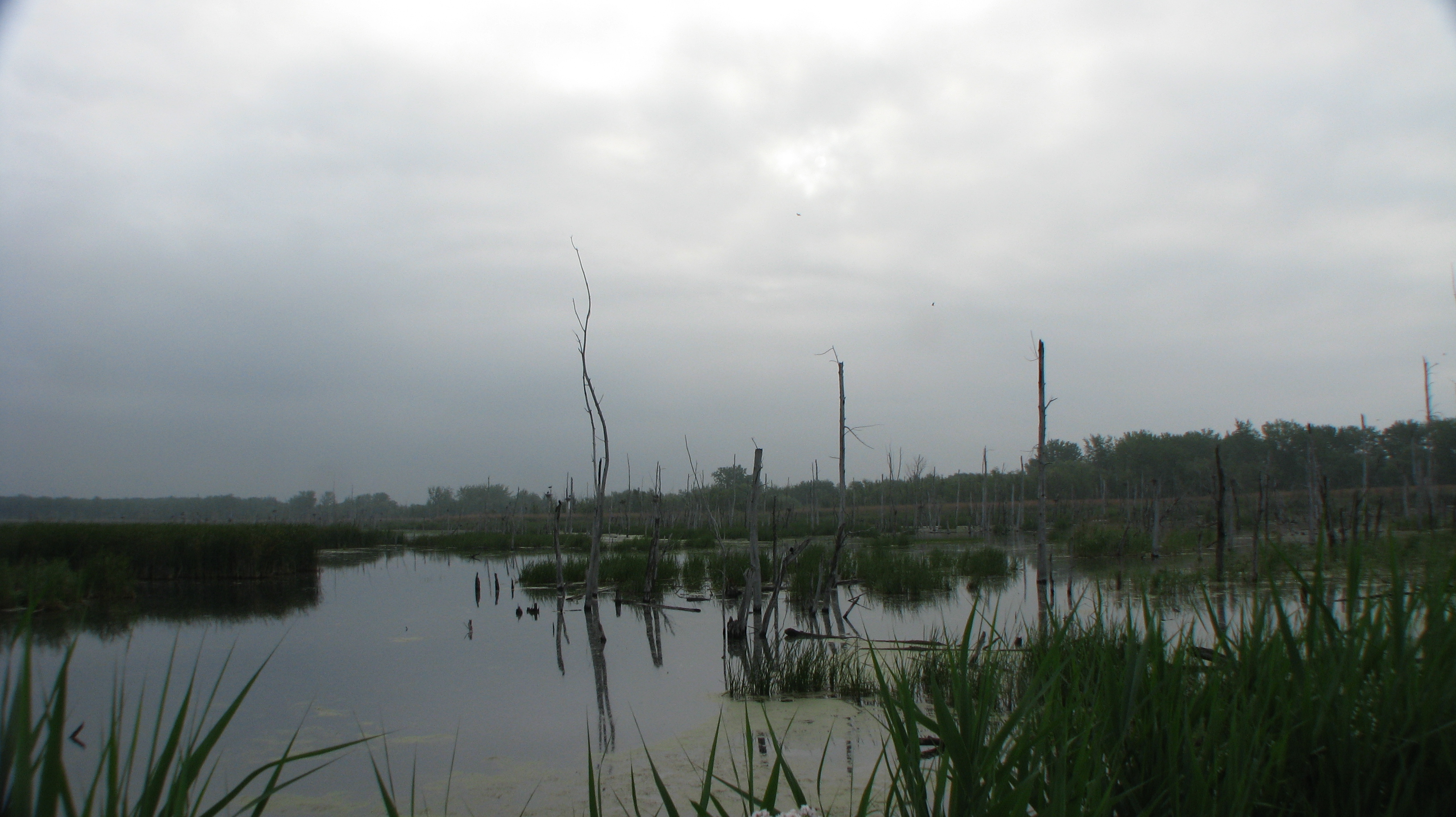
Point d'eau
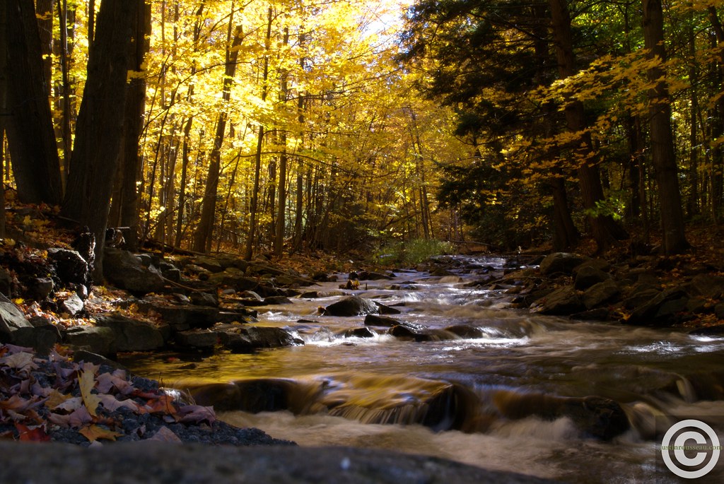
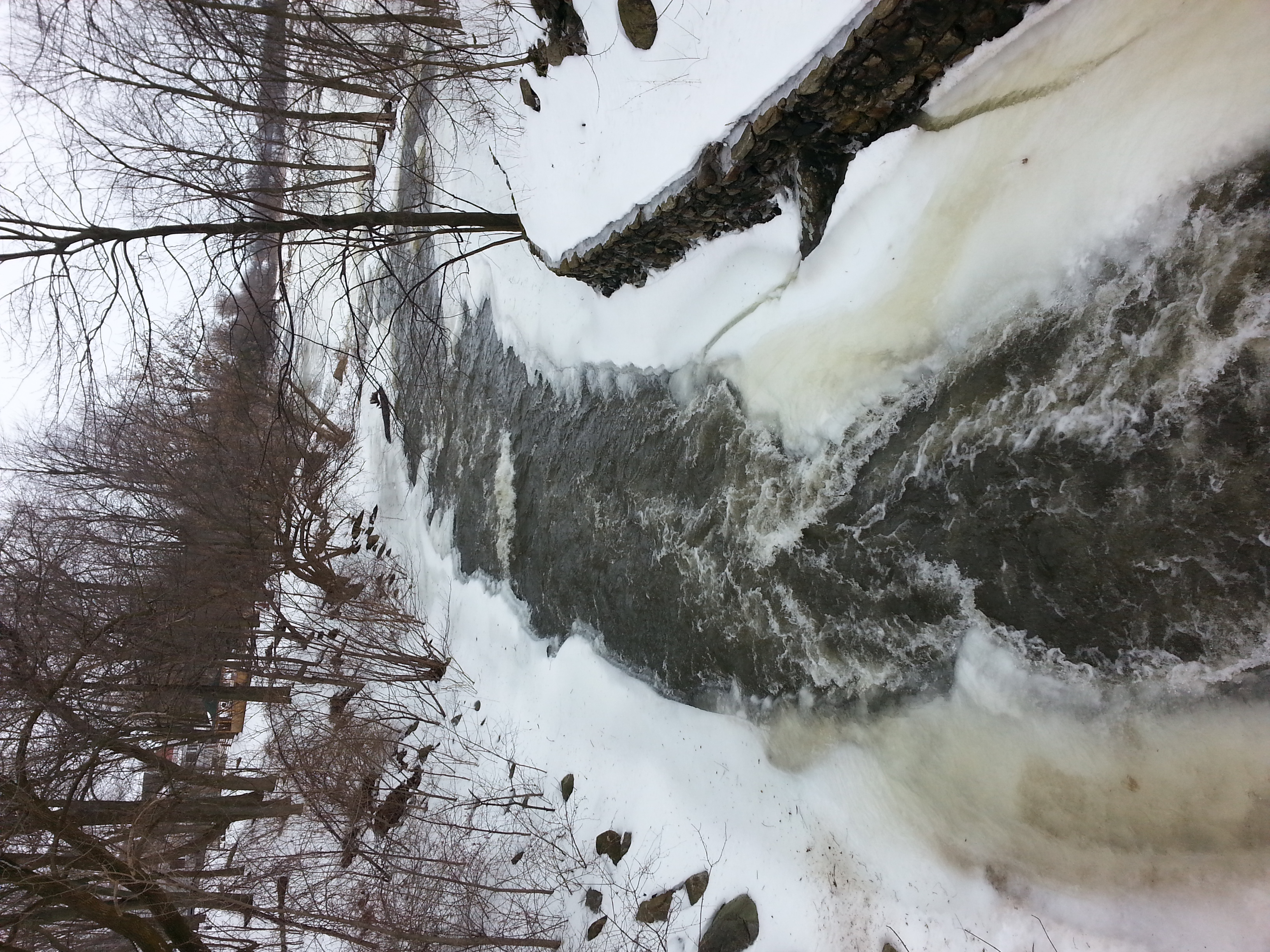
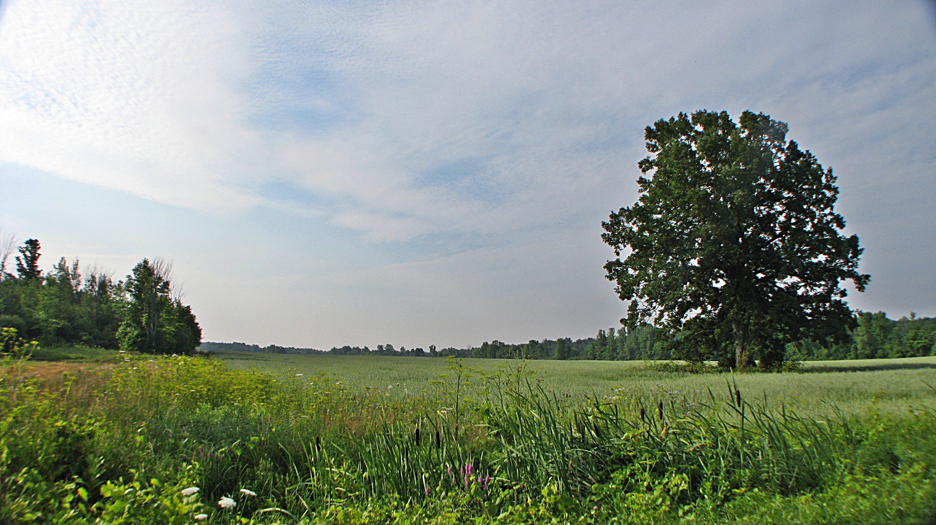
Fall river stream
Beauharnois, Québec
Beauharnois, Québec
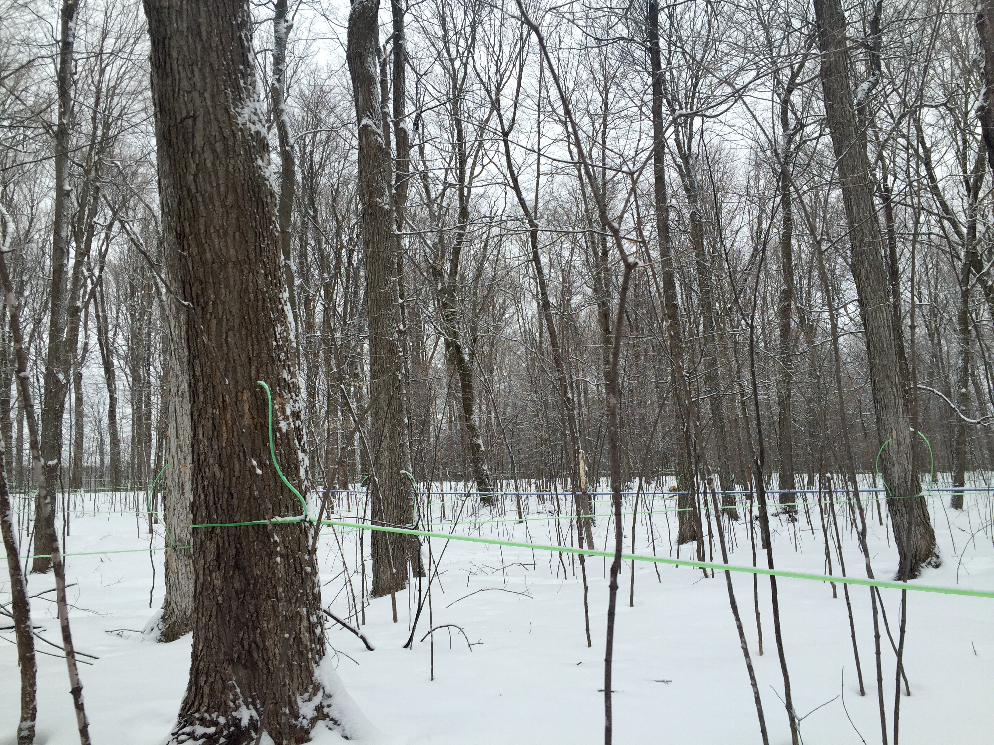
Modern maple syrup tapping
Dewittville, Québec
Beauharnois, Québec
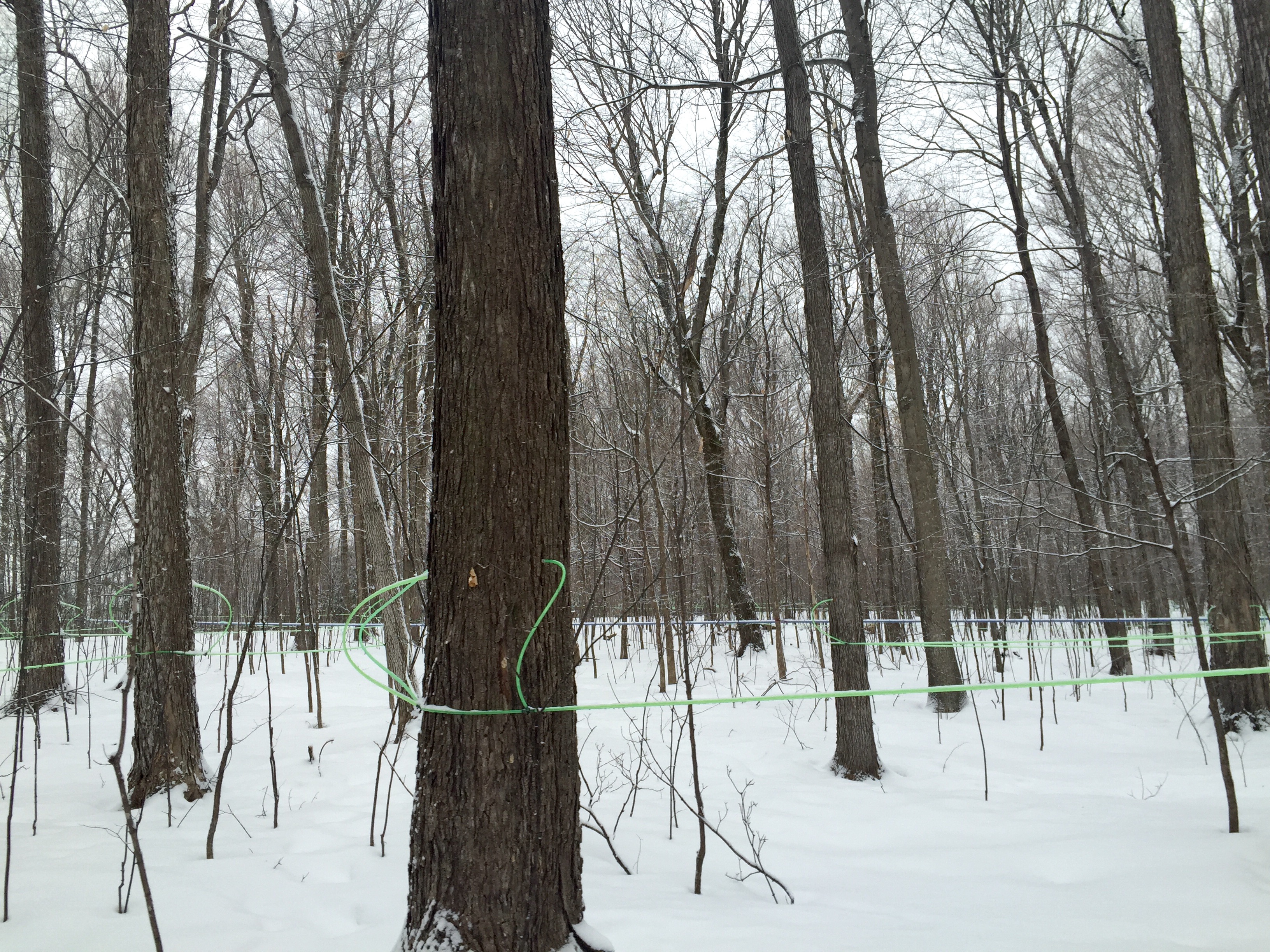
Modern maple syrup tapping

Beauharnois, Québec

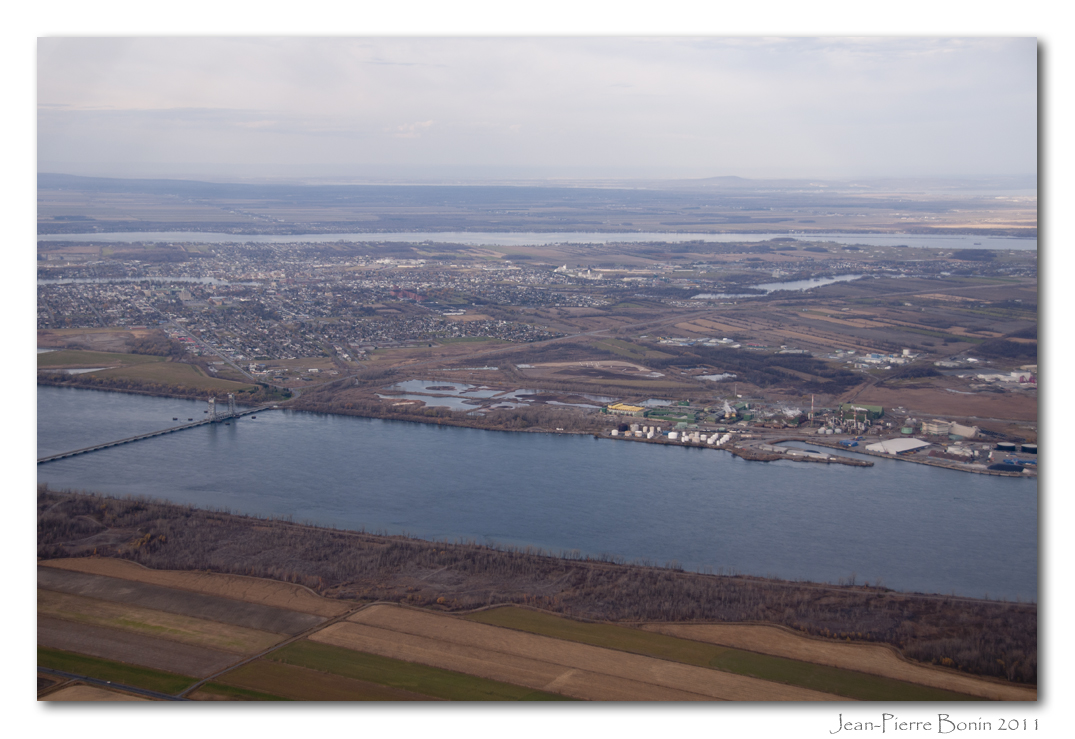
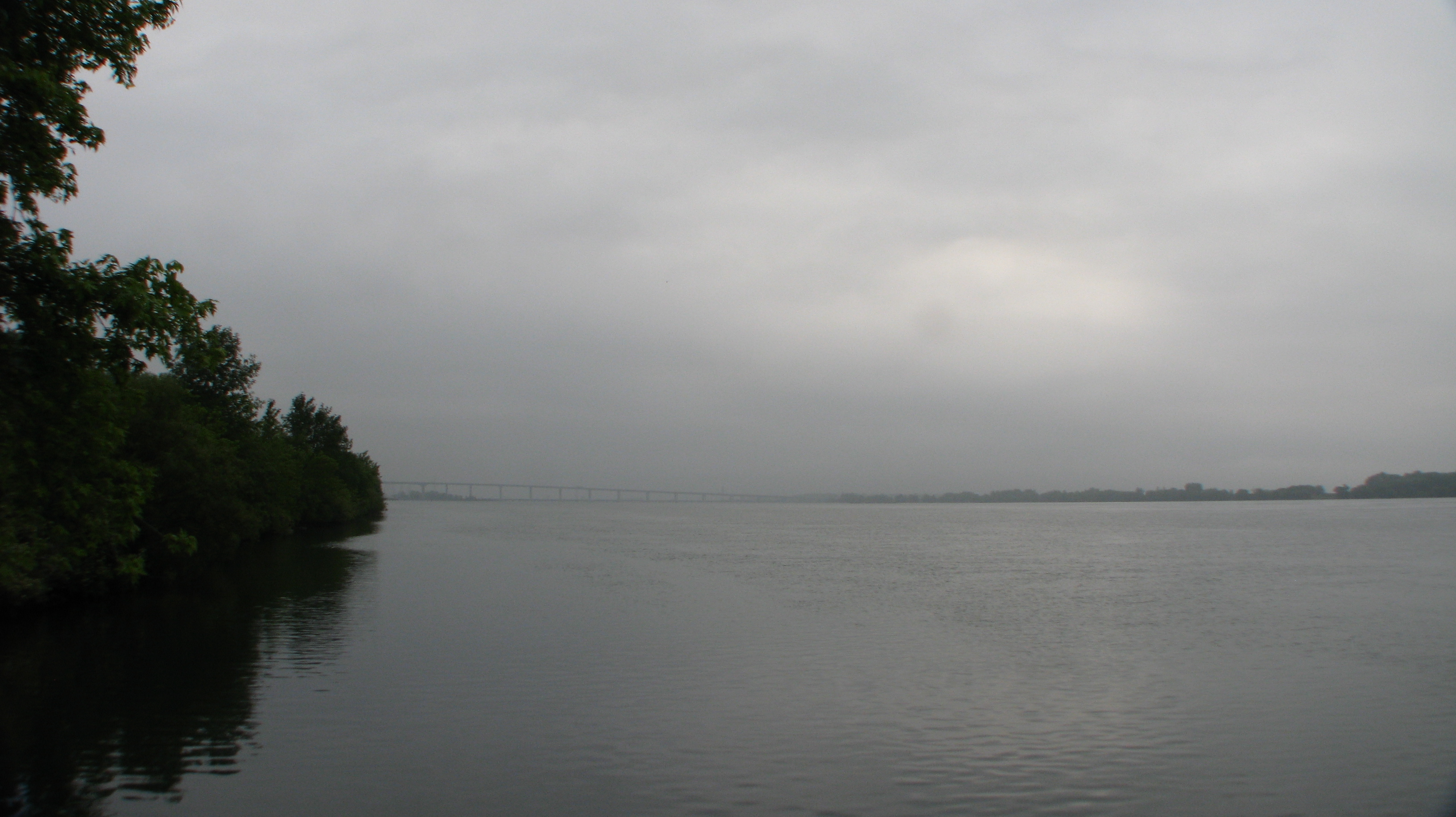
Hungry Bay, Lac St-François (Fleuve St-Laurent), Canal de Beauharnois, Pont Larocque, Salaberry-de-Valleyfield
Canal de Beauharnois, Pont Larocque, Salaberry-de-Valleyfield, Rivière St-Charles (Fleuve St-Laurent), Fleuve St-Laurent, Coteau-du-Lac, Les Cèdres
Châteauguay
Beauharnois, Québec
Huntingdon, Québec
Beauharnois, Québec
Beauharnois, Québec
Topographic Map of Rang de Tullochgorum, Ormstown, QC J0S, Canada
Find elevation by address:

Places near Rang de Tullochgorum, Ormstown, QC J0S, Canada:
4e Rang, Ormstown, QC J0S, Canada
3113 Chemin Greig
3e Rang, Howick, QC J0S 1G0, Canada
Ormstown
27 Rue Lambton
Howick
1 Rue Richard
Franklin
Chemin Larocque, Ormstown, QC J0S, Canada
673 Rang Dumas
1370 Qc-209
99 Rang Saint-antoine
Chemin de Covey Hill, Hinchinbrooke, QC J0S 1E0, Canada
Beauharnois-salaberry Regional County Municipality
Aubrey
Saint-chrysostome
Sainte-martine
Sainte-martine
Rue Notre Dame, Saint-Chrysostome, QC J0S 1R0, Canada
Rue Ellice, Beauharnois, QC J6N 3P7, Canada
Recent Searches:
- Elevation of Corso Fratelli Cairoli, 35, Macerata MC, Italy
- Elevation of Tallevast Rd, Sarasota, FL, USA
- Elevation of 4th St E, Sonoma, CA, USA
- Elevation of Black Hollow Rd, Pennsdale, PA, USA
- Elevation of Oakland Ave, Williamsport, PA, USA
- Elevation of Pedrógão Grande, Portugal
- Elevation of Klee Dr, Martinsburg, WV, USA
- Elevation of Via Roma, Pieranica CR, Italy
- Elevation of Tavkvetili Mountain, Georgia
- Elevation of Hartfords Bluff Cir, Mt Pleasant, SC, USA