Elevation of Rampur Bushahr, Himachal Pradesh, India
Location: India > Himachal Pradesh > Shimla >
Longitude: 77.6298122
Latitude: 31.4492451
Elevation: 977m / 3205feet
Barometric Pressure: 90KPa
Elevation Map:
Satellite Map:
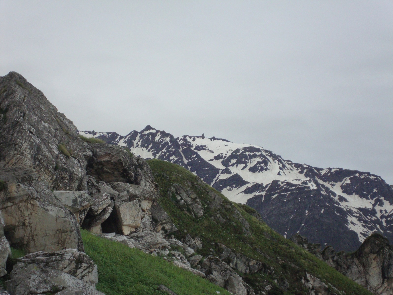
Related Photos:

The furrow of Sutlej.

Sutlej first view (14)
DSC07244.jpg

DSC07477.jpg

DSC07168.jpg

Sutlej near Rampur

Rampur and Satlej River

Golden Rays

#clouds #hill #rainyday

DSC07487.jpg

Hindustan-Tibet road, NH22

SAM_2038.JPG

Winter Trip to Kaza

As we hike towards this un-named route in Pin valley national Park in Spiti, we spot a fox. I was lucky yo have a glimpse of it from the front while my friends saw him running after we came very close to it. We wanted to see Ibex which is very famous in

SAM_2039.JPG

Winter Trip to Kaza

Winter Trip to Kaza

IND_10_3652 copy

Winter Trip to Kaza

DSC07433.jpg

Winter Trip to Kaza

DSC07555.jpg

IND_10_0789 copy
Topographic Map of Rampur Bushahr, Himachal Pradesh, India
Find elevation by address:

Places near Rampur Bushahr, Himachal Pradesh, India:
Jeori
Post Office Jeori
Sarahan
Anni
Luhri
Seruvalsar And Manimahesh Lake
Hatu Peak
Jalti
Sajwar
Narkand
Hotel Sara
Hotel Hatu
Jalori
Jalori Pass
Rohru
Pabbar Valley
Tirthan Valley
Jibhi
Pekhri
Shimla
Recent Searches:
- Elevation of Corso Fratelli Cairoli, 35, Macerata MC, Italy
- Elevation of Tallevast Rd, Sarasota, FL, USA
- Elevation of 4th St E, Sonoma, CA, USA
- Elevation of Black Hollow Rd, Pennsdale, PA, USA
- Elevation of Oakland Ave, Williamsport, PA, USA
- Elevation of Pedrógão Grande, Portugal
- Elevation of Klee Dr, Martinsburg, WV, USA
- Elevation of Via Roma, Pieranica CR, Italy
- Elevation of Tavkvetili Mountain, Georgia
- Elevation of Hartfords Bluff Cir, Mt Pleasant, SC, USA