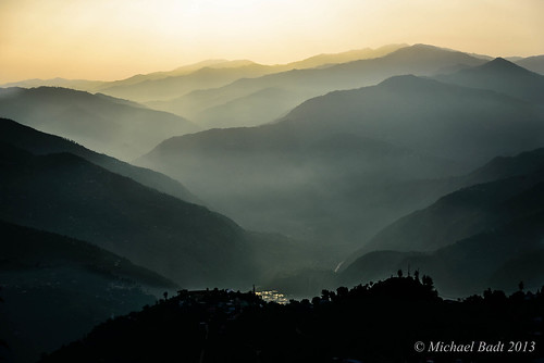
Elevation of Luhri, Himachal Pradesh, India

Location: India > Himachal Pradesh > Shimla >

Longitude: 77.4289598

Latitude: 31.3401638

Elevation: 799m / 2621feet

Barometric Pressure: 92KPa

Elevation Map:

elevation map of Luhri, Himachal Pradesh, India

Satellite Map:

Satellite map of Luhri, Himachal Pradesh, India

Related Photos:

sunset india mountain mountains beautiful topv111 wow landscape geotagged temple cool indian peak himalaya himalayas hindutemple himachalpradesh continuum mountainrange anindo narkanda hatupeak hatutemple geo:lat=31243538 geo:lon=77501560 geo:long=77501560 calendarshot anindoghosh iloveindiatraditional
Where earth meets sky (2)
india apple himachalpradesh narkanda kotgarh royalapple indianhimalayas indianfruits
Royal Apples, Kotgarh, Narkanda, Himachal Pradesh, India
sunset india anawesomeshot
Sun Set
shimla himalaya himachal narkanda
View from Hatu peak, Narkanda
shimla himalaya himachal narkanda
View from Hatu peak, Narkanda
india geotagged himalayas himachalpradesh narkanda hatutrek
Hatu Peak views panorama2
india mountain geotagged indian himalayas himachalpradesh continuum anindo kotgarh geo:lat=31316912 geo:lon=77482983 anindoghosh
Where earth meets sky (4)
geotagged himalayas himachalpradesh narkanda hatutrek
Evening views from the Hatu Peak
india geotagged himalayas himachalpradesh narkanda hatutrek
Hatu Peak views panorama1
shimla himalaya himachal narkanda
View from Hatu peak, Narkanda
instagramapp square squareformat iphoneography uploaded:by=instagram
#landscape #himachal #landscapephotography #landscapelover #landscape_lover #landscape_capture #landscape_lovers #naturephotography #dslr #landscape_hunters #landscape#hunter #views #ig_landscape_lovers #ig_landscape
Thanedar, Himachal Pradesh
geotagged himachalpradesh biketrip himalayanriver sanglatrip
Sutlej first view (14)
travel sunset india mountain mountains tourism beautiful wow landscape geotagged lowlight dusk availablelight indian himachal himalayas himachalpradesh continuum mountainrange anindo kotgarh geo:lat=31316911 geo:lon=77482981 specland anindoghosh
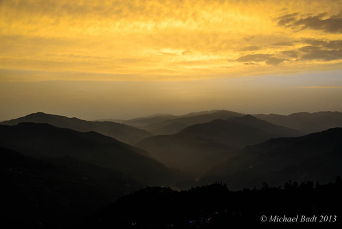
Where earth meets sky (1)
india mountain topv111 geotagged evening lowlight dusk availablelight indian himalayas himachalpradesh continuum anindo narkanda hatupeak hatutemple geo:lat=31243538 geo:lon=77501560 geo:long=77501560 anindoghosh
Where earth meets sky (3)
shimla himalaya himachal narkanda
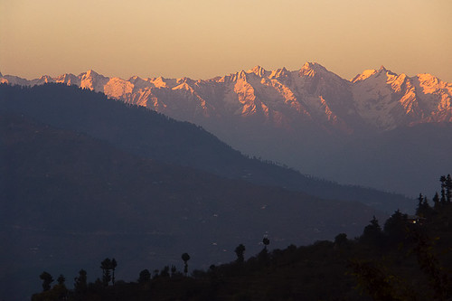
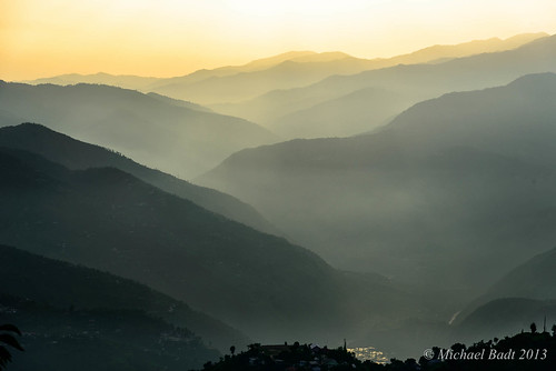
Lower Himalayas from Hatu peak, Narkanda
indian himalayas theindiatree
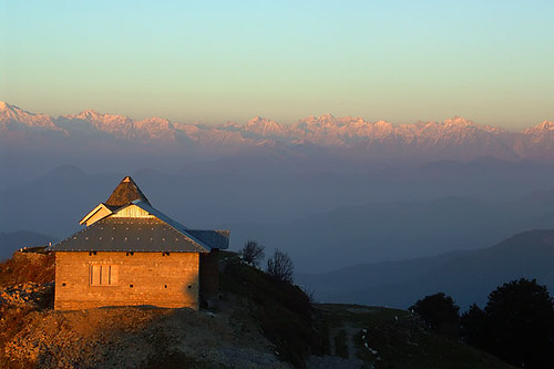
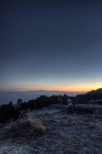
The temple at Hatu Peak
himalaya himachal sutlej hindustantibetroad nh22
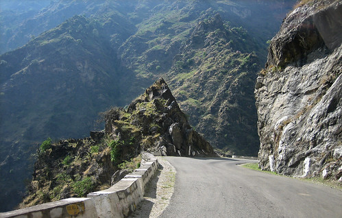
Hindustan-Tibet road, NH22
sunlight nature clouds sunrise landscapes himalaya sunrays himachal sunsetcolors sunraysthroughclouds shimlasunset mtbhimalaya mtbhimalaya2013
Just Clouds
himalaya himachal sutlej hindustantibetroad nh22
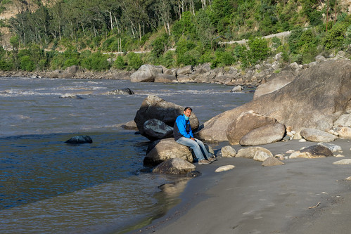
River Sutlej
himalaya himachal hindustantibetroad nh22
From Shimla towards Sarahan
india himachal ind
HMCHL-1434-20130709.jpg
Winter Trip to Kaza
india himachal ind
HMCHL-1430-20130709.jpg
india himachal ind
HMCHL-1467-20130710x2.jpg
india himachal ind
HMCHL-1428-20130709.jpg