Elevation of Hatu Peak, Himachal Pradesh, India
Location: India > Himachal Pradesh > Shimla > Jalti >
Longitude: 77.5014739
Latitude: 31.2438041
Elevation: 3180m / 10433feet
Barometric Pressure: 69KPa
Elevation Map:
Satellite Map:
Related Photos:
Where earth meets sky (2)

Royal Apples, Kotgarh, Narkanda, Himachal Pradesh, India

Sun Set

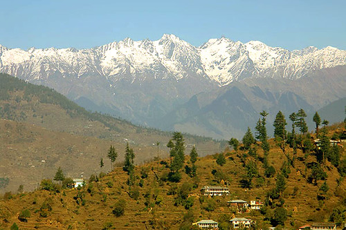
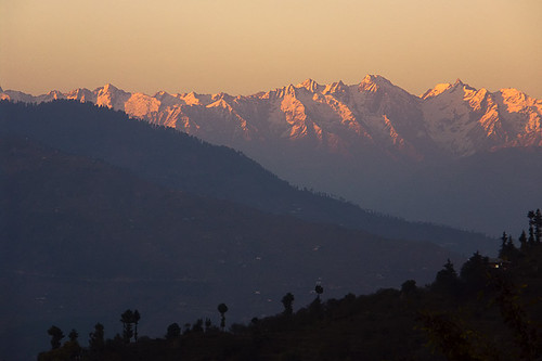
View from Hatu peak, Narkanda

View from Hatu peak, Narkanda
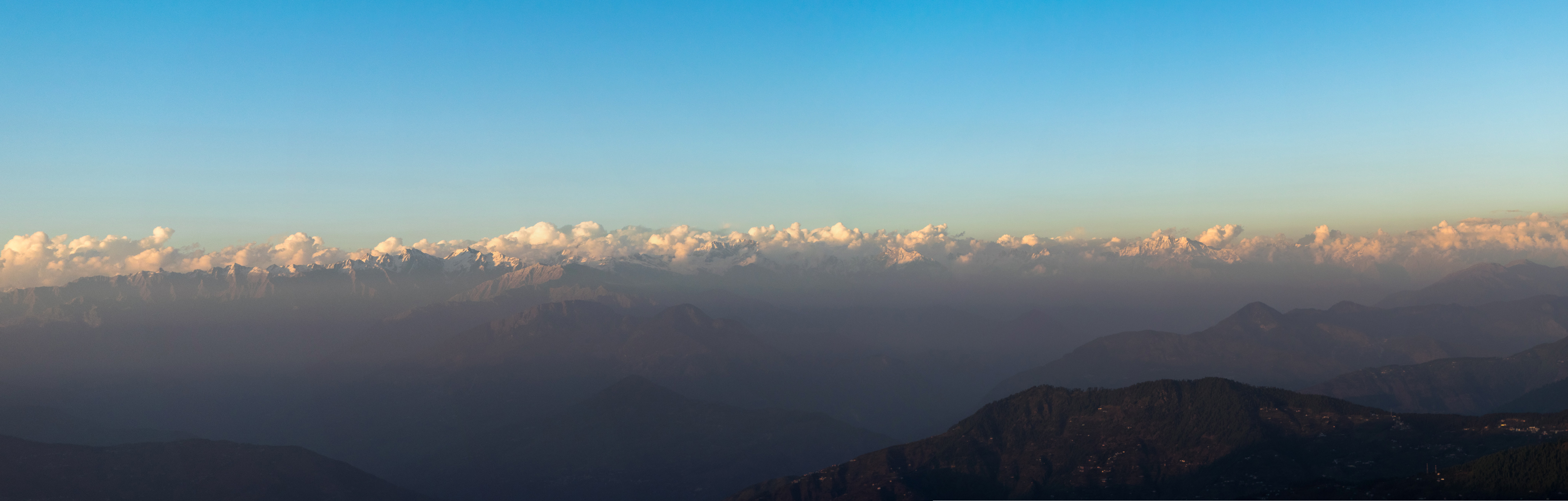
Hatu Peak views panorama2
Where earth meets sky (4)

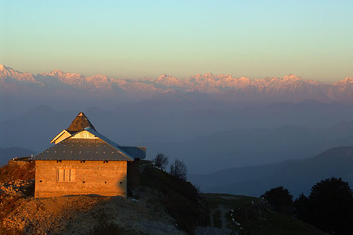
Evening views from the Hatu Peak

Hatu Peak views panorama1

View from Hatu peak, Narkanda

#landscape #himachal #landscapephotography #landscapelover #landscape_lover #landscape_capture #landscape_lovers #naturephotography #dslr #landscape_hunters #landscape#hunter #views #ig_landscape_lovers #ig_landscape
Thanedar, Himachal Pradesh

Sutlej first view (14)

View from top #Kotkhai, #Shimla #UpperShimla
Where earth meets sky (1)
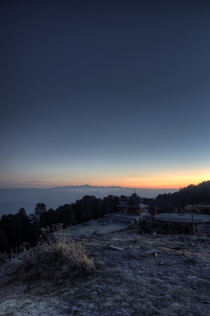
The temple at Hatu Peak

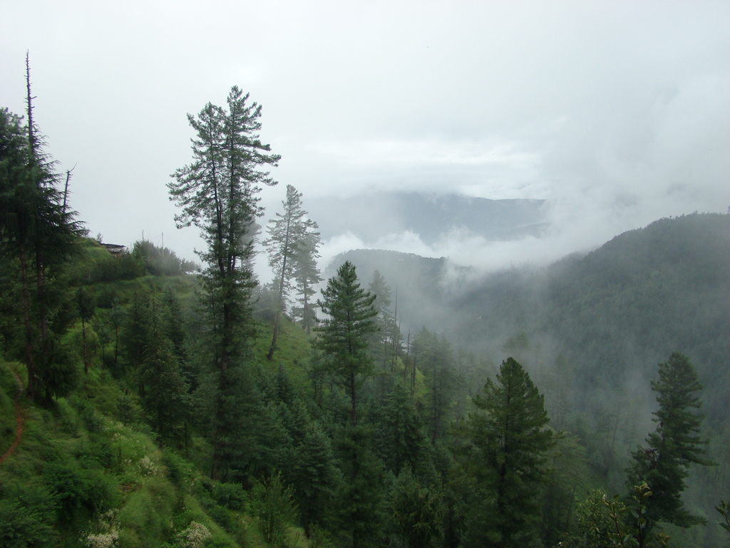
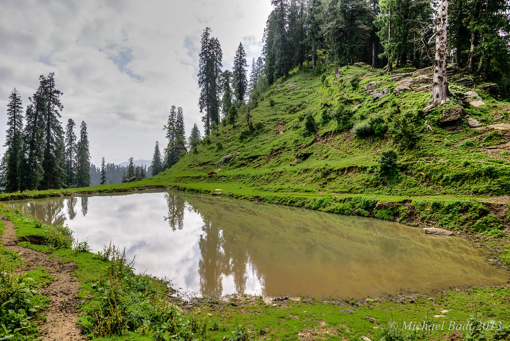
Just Clouds

Where earth meets sky (3)

Lower Himalayas from Hatu peak, Narkanda

Hindustan-Tibet road, NH22
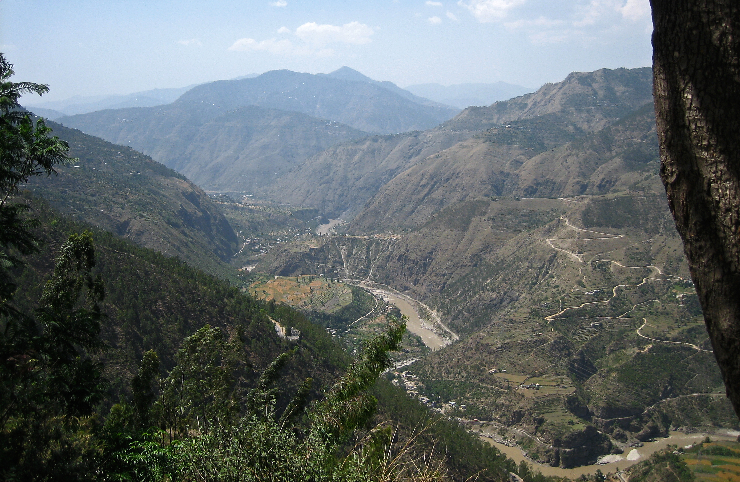
River Sutlej

From Shimla towards Sarahan

HMCHL-1434-20130709.jpg

Winter Trip to Kaza

HMCHL-1430-20130709.jpg
HMCHL-1467-20130710x2.jpg

HMCHL-1428-20130709.jpg
Topographic Map of Hatu Peak, Himachal Pradesh, India
Find elevation by address:

Places near Hatu Peak, Himachal Pradesh, India:
Jalti
Hotel Hatu
Narkand
Hotel Sara
Matiana
Kalind
Luhri
Himachal Pradesh, India
Kotkhai
Chalunti
Rls Orchard 2
Kharapathar
Taj Theog Resort & Spa, Shimla
Theog
Shimla
Sainj
Theog Palace At Sainj
Anni
Jubbal
Shagalti
Recent Searches:
- Elevation of Corso Fratelli Cairoli, 35, Macerata MC, Italy
- Elevation of Tallevast Rd, Sarasota, FL, USA
- Elevation of 4th St E, Sonoma, CA, USA
- Elevation of Black Hollow Rd, Pennsdale, PA, USA
- Elevation of Oakland Ave, Williamsport, PA, USA
- Elevation of Pedrógão Grande, Portugal
- Elevation of Klee Dr, Martinsburg, WV, USA
- Elevation of Via Roma, Pieranica CR, Italy
- Elevation of Tavkvetili Mountain, Georgia
- Elevation of Hartfords Bluff Cir, Mt Pleasant, SC, USA