Elevation of Ramah, NM, USA
Location: United States > New Mexico > Mckinley County >
Longitude: -108.49174
Latitude: 35.1330889
Elevation: 2111m / 6926feet
Barometric Pressure: 78KPa
Elevation Map:
Satellite Map:
Related Photos:

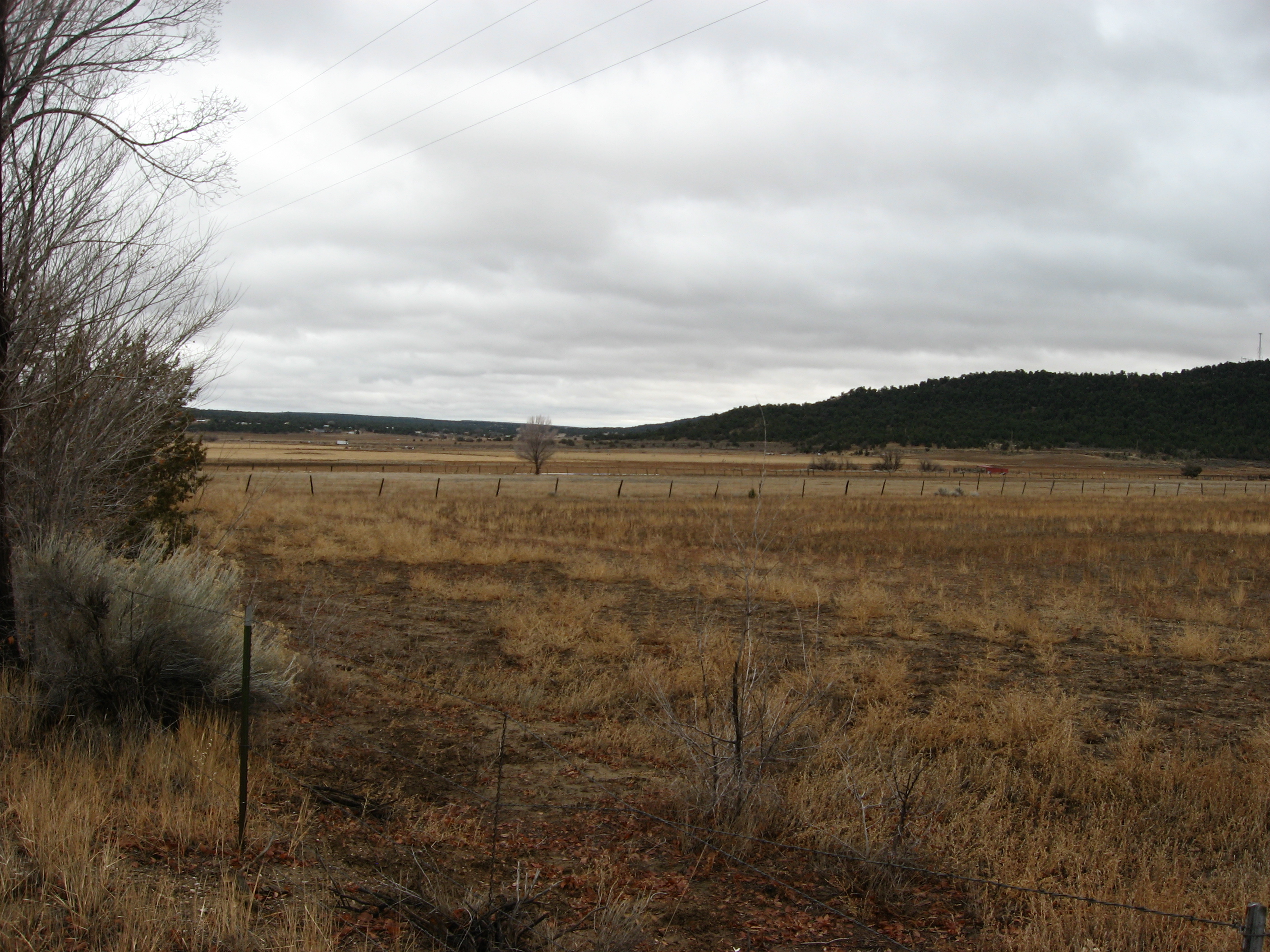
view from my home

view of the moon from the box canyon

New Mexico Natural Arch NM-338 Ramah Lake Arch
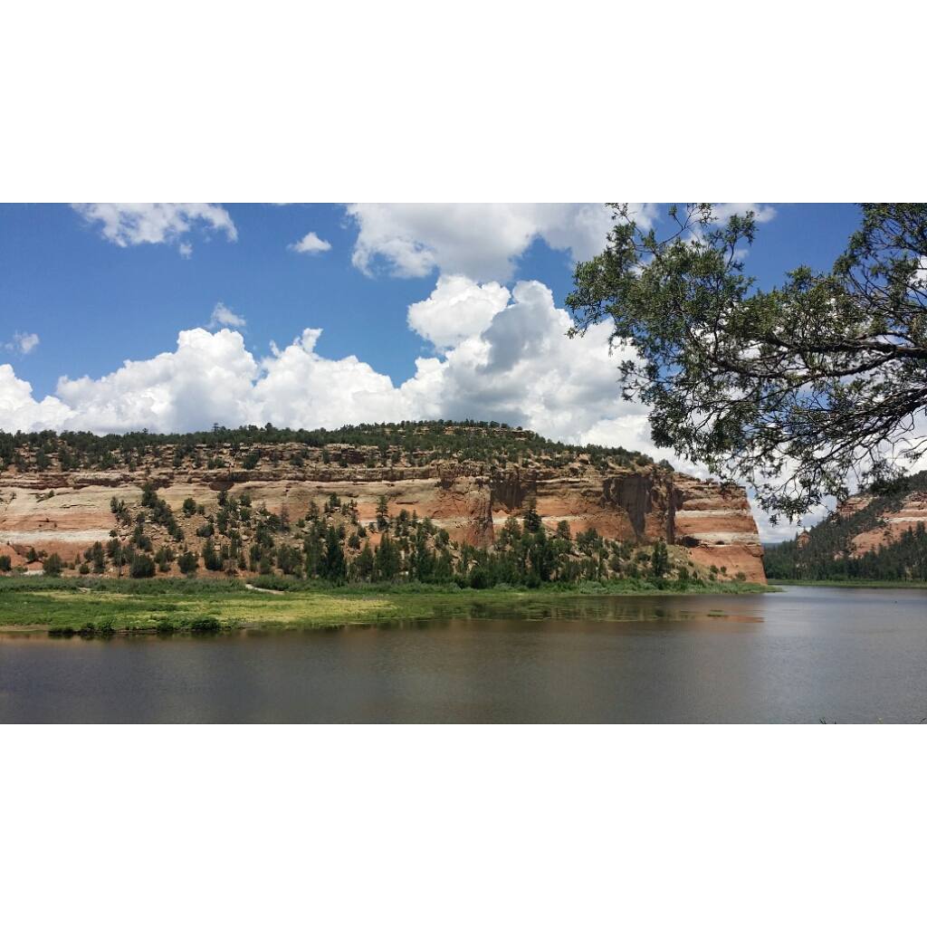
Lunch's view was not bad at all. #nofilter #ramahlake #ramahlakenm #newmexico #lake #hike #hiking
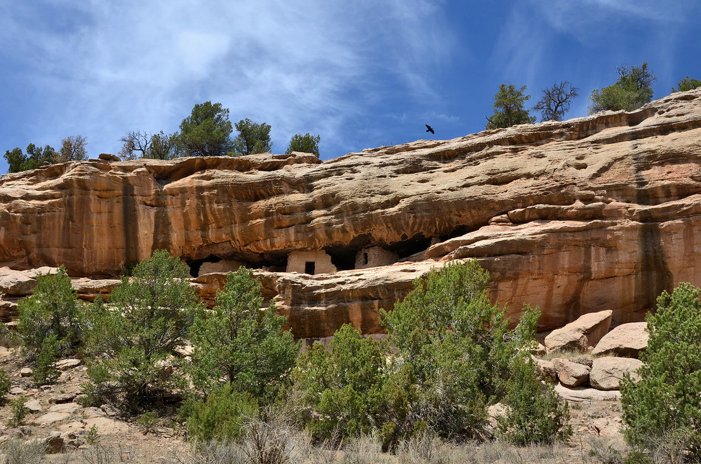
Zuni Cliff Dwellings, Ramah NM

Wreckless Abandon 002
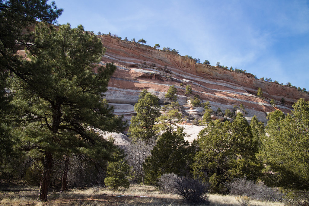
New Mexico Cliffs
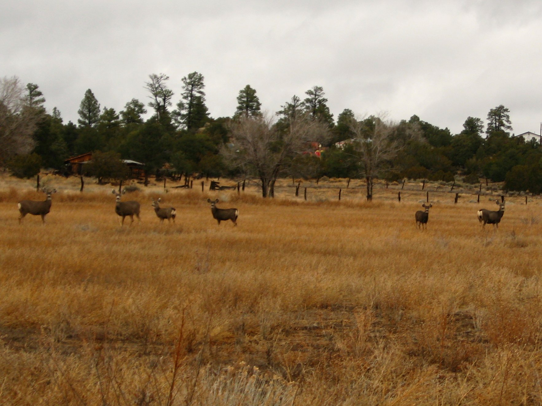
Mule Deer, Ramah, New Mexico

Light Comes In
Route 53 Near Ramah, New Mexico
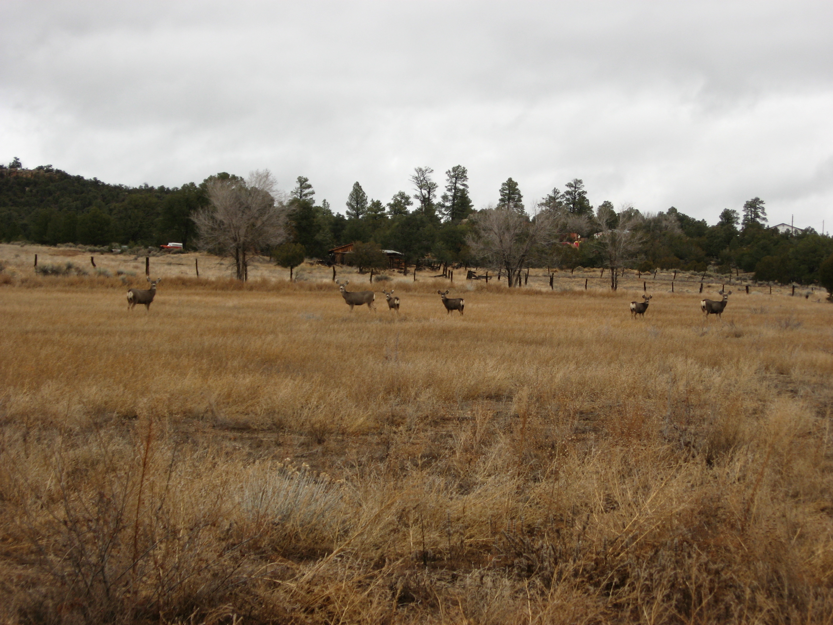
Mule Deer in Ramah, New Mexico

staircase atop the mesa
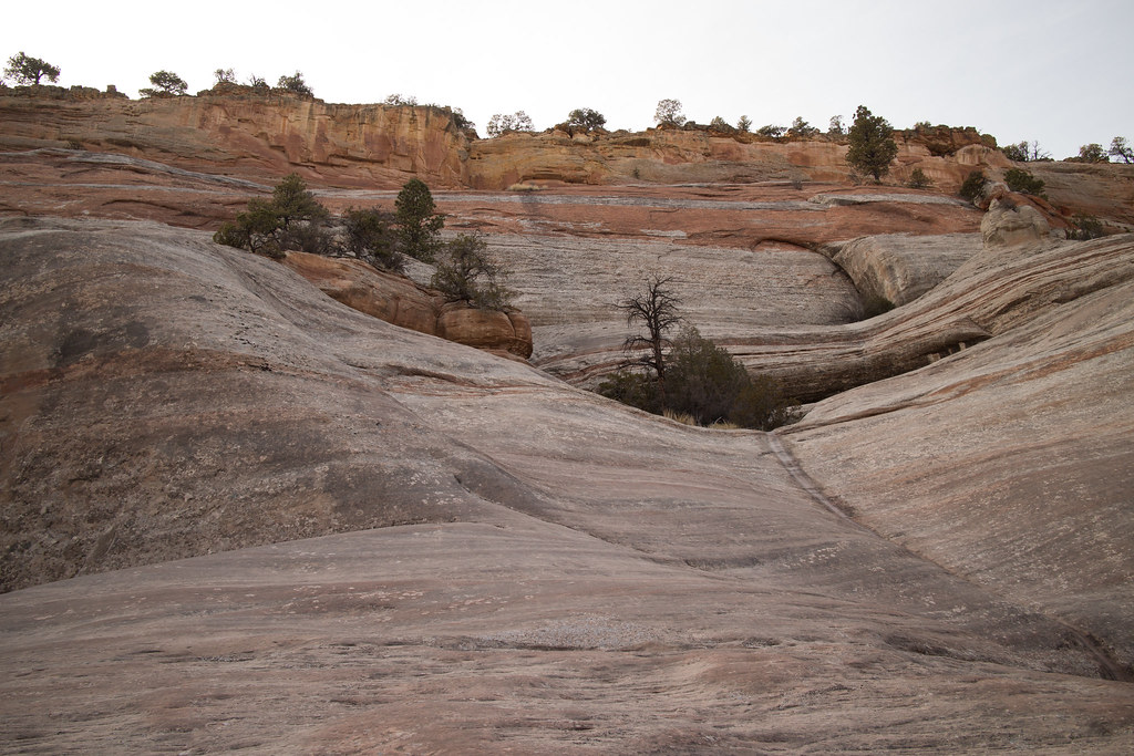
More Cliffs

El Morro National Monument

El Morro National Monument
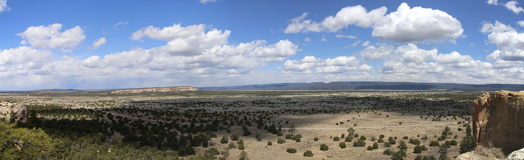
Scenery from El Morro National Monument
El Morro National Monument
Topographic Map of Ramah, NM, USA
Find elevation by address:

Places in Ramah, NM, USA:
Places near Ramah, NM, USA:
Bond St, Ramah, NM, USA
Mountain View
Pinehill
El Morro National Monument
195 Ferguson Rd
Candy Kitchen
Concho Lane
Flying Diamond Road
Zuni
Fence Lake
17 High Country Rd
New Mexico 601
Zuñi Salt Lake
Starfire Drive
Squaw Pass
Big Chief Road
Quemado
Apache County N7200
Spring Canyon Road
Coca Cola Avenue
Recent Searches:
- Elevation of Corso Fratelli Cairoli, 35, Macerata MC, Italy
- Elevation of Tallevast Rd, Sarasota, FL, USA
- Elevation of 4th St E, Sonoma, CA, USA
- Elevation of Black Hollow Rd, Pennsdale, PA, USA
- Elevation of Oakland Ave, Williamsport, PA, USA
- Elevation of Pedrógão Grande, Portugal
- Elevation of Klee Dr, Martinsburg, WV, USA
- Elevation of Via Roma, Pieranica CR, Italy
- Elevation of Tavkvetili Mountain, Georgia
- Elevation of Hartfords Bluff Cir, Mt Pleasant, SC, USA