Elevation of Concho Lane, Concho Ln, Ramah, NM, USA
Location: United States > New Mexico > Cibola County > Fence Lake >
Longitude: -108.51305
Latitude: 34.9058218
Elevation: 2226m / 7303feet
Barometric Pressure: 77KPa
Elevation Map:
Satellite Map:
Related Photos:
Yep, another Candy Kitchen sunset

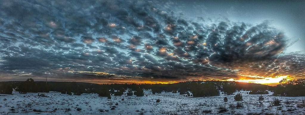
CKTP pano

Pinehill storm

Creative chem trails.

Candy Kitchen sunset.

Candy Kitchen sunset.

Storm scape
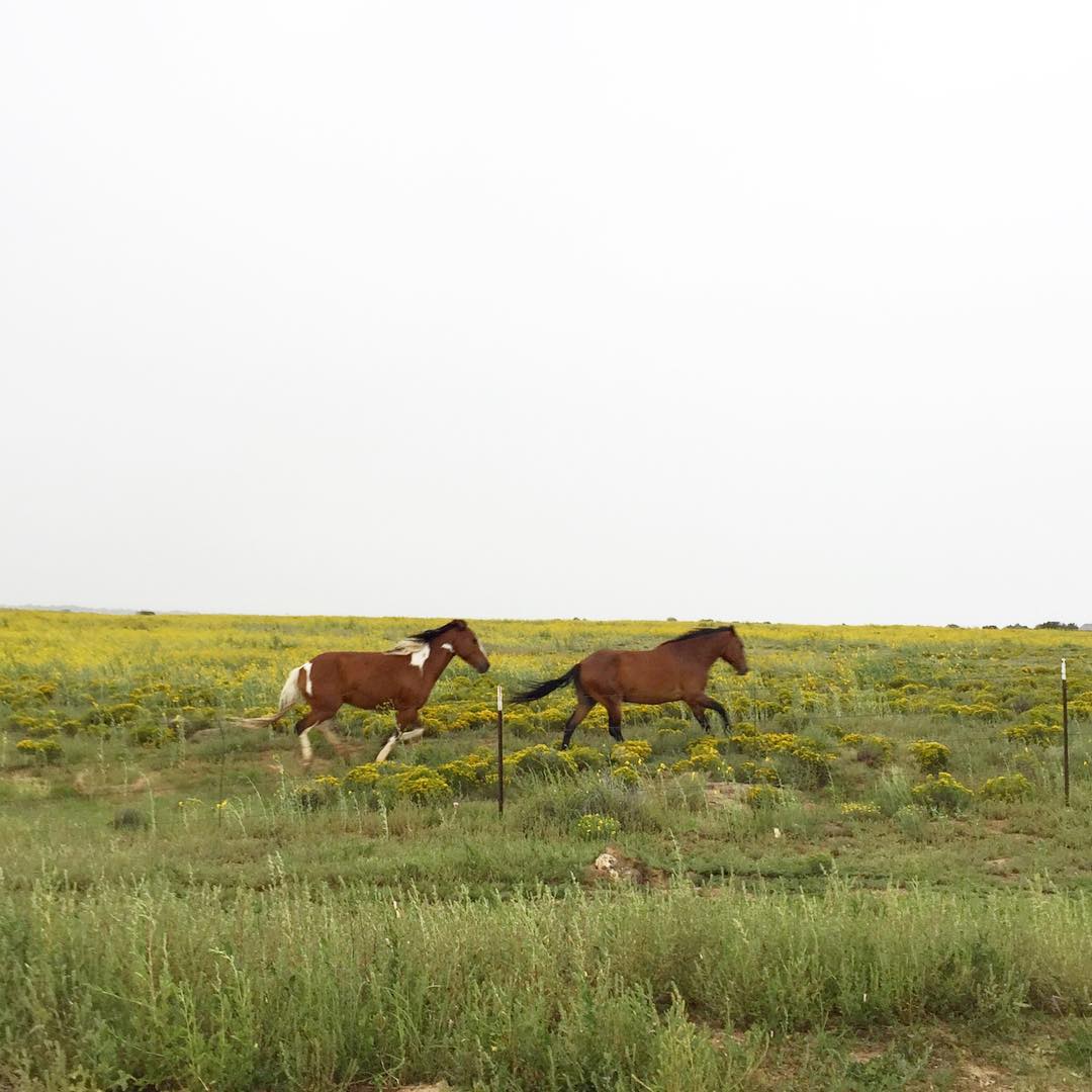
Rains starting in #Navajo country #latergram

Candy Kitchen sunset

looking around

Meeting with a wolf
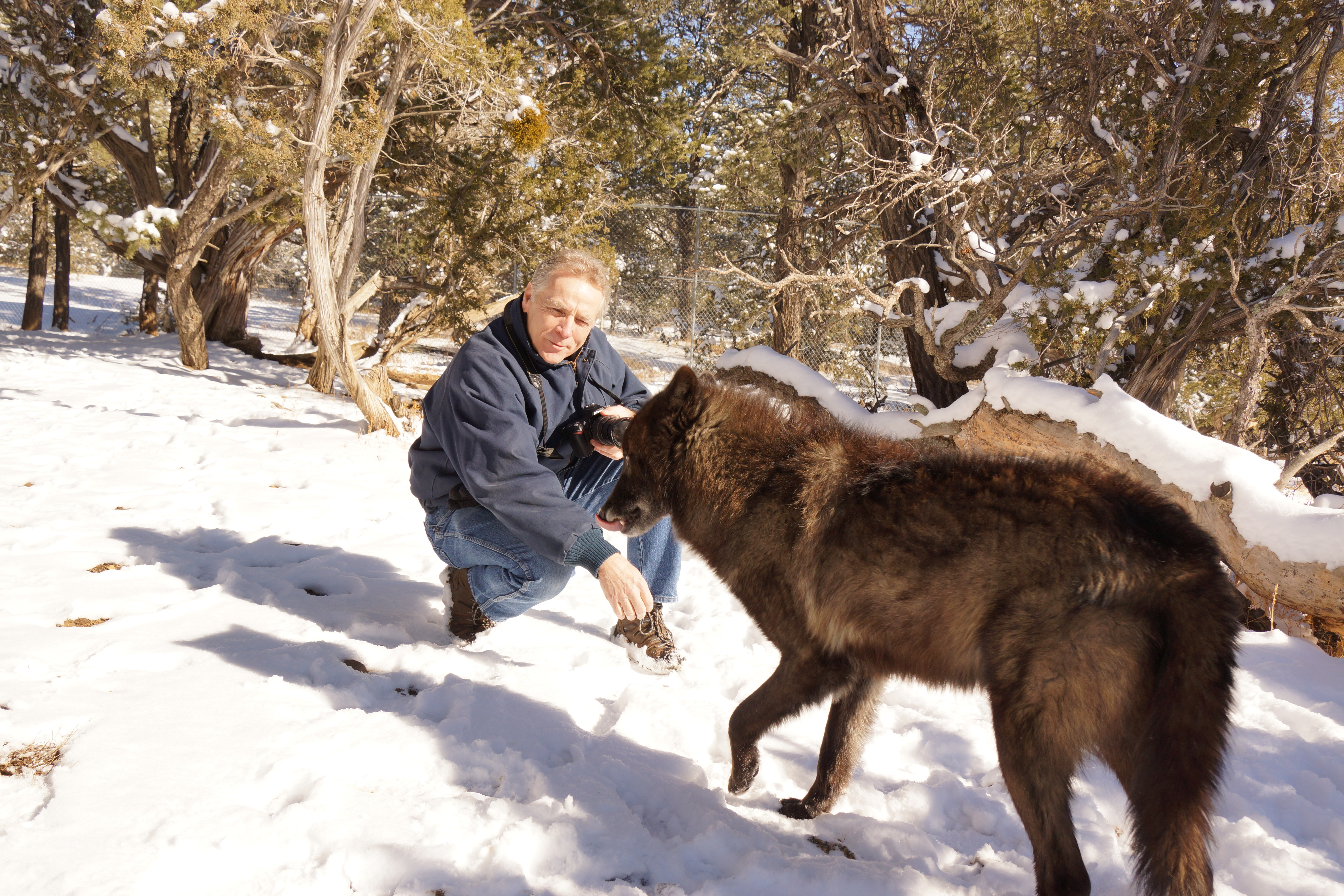
Licking its chops

IMG_20200819_191718043_HDR-01-01

IMG_20200819_191718043_HDR-01

IMG_20200818_193946803_HDR-01

IMG_20200818_194046880_HDR-01-02

IMG_20200821_190357261-01

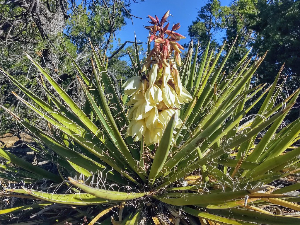
Candy Kitchen

Candy Kitchen

Candy Kitchen

IMG_20200528_195250279-01

IMG_20200528_195351892-01
IMG_20200525_083727598_HDR-01
IMG_20200523_174840003-01

Wild Spirit Wolf Sanctuary
Topographic Map of Concho Lane, Concho Ln, Ramah, NM, USA
Find elevation by address:

Places near Concho Lane, Concho Ln, Ramah, NM, USA:
Flying Diamond Road
Candy Kitchen
Mountain View
Pinehill
El Morro National Monument
Ramah
Bond St, Ramah, NM, USA
195 Ferguson Rd
Fence Lake
17 High Country Rd
Zuni
New Mexico 601
Zuñi Salt Lake
Starfire Drive
Squaw Pass
Big Chief Road
Quemado
Spring Canyon Road
Escondido Mountain
Old Ranch Road
Recent Searches:
- Elevation of Corso Fratelli Cairoli, 35, Macerata MC, Italy
- Elevation of Tallevast Rd, Sarasota, FL, USA
- Elevation of 4th St E, Sonoma, CA, USA
- Elevation of Black Hollow Rd, Pennsdale, PA, USA
- Elevation of Oakland Ave, Williamsport, PA, USA
- Elevation of Pedrógão Grande, Portugal
- Elevation of Klee Dr, Martinsburg, WV, USA
- Elevation of Via Roma, Pieranica CR, Italy
- Elevation of Tavkvetili Mountain, Georgia
- Elevation of Hartfords Bluff Cir, Mt Pleasant, SC, USA