Elevation of Fox Road, Fox Rd, New Mexico, USA
Location: United States > New Mexico > Mckinley County > Ramah >
Longitude: -108.47201
Latitude: 35.1933354
Elevation: 2190m / 7185feet
Barometric Pressure: 78KPa
Elevation Map:
Satellite Map:
Related Photos:

Orange-billed Nightingale-Thrush

Orange-billed Nightingale-Thrush

New Mexico Natural Arch NM-338 Ramah Lake Arch

Orange-billed Nightingale-Thrush

Orange-billed Nightingale-Thrush

Lunch's view was not bad at all. #nofilter #ramahlake #ramahlakenm #newmexico #lake #hike #hiking

view of the moon from the box canyon

view from my home

Zuni Cliff Dwellings, Ramah NM

Mule Deer, Ramah, New Mexico
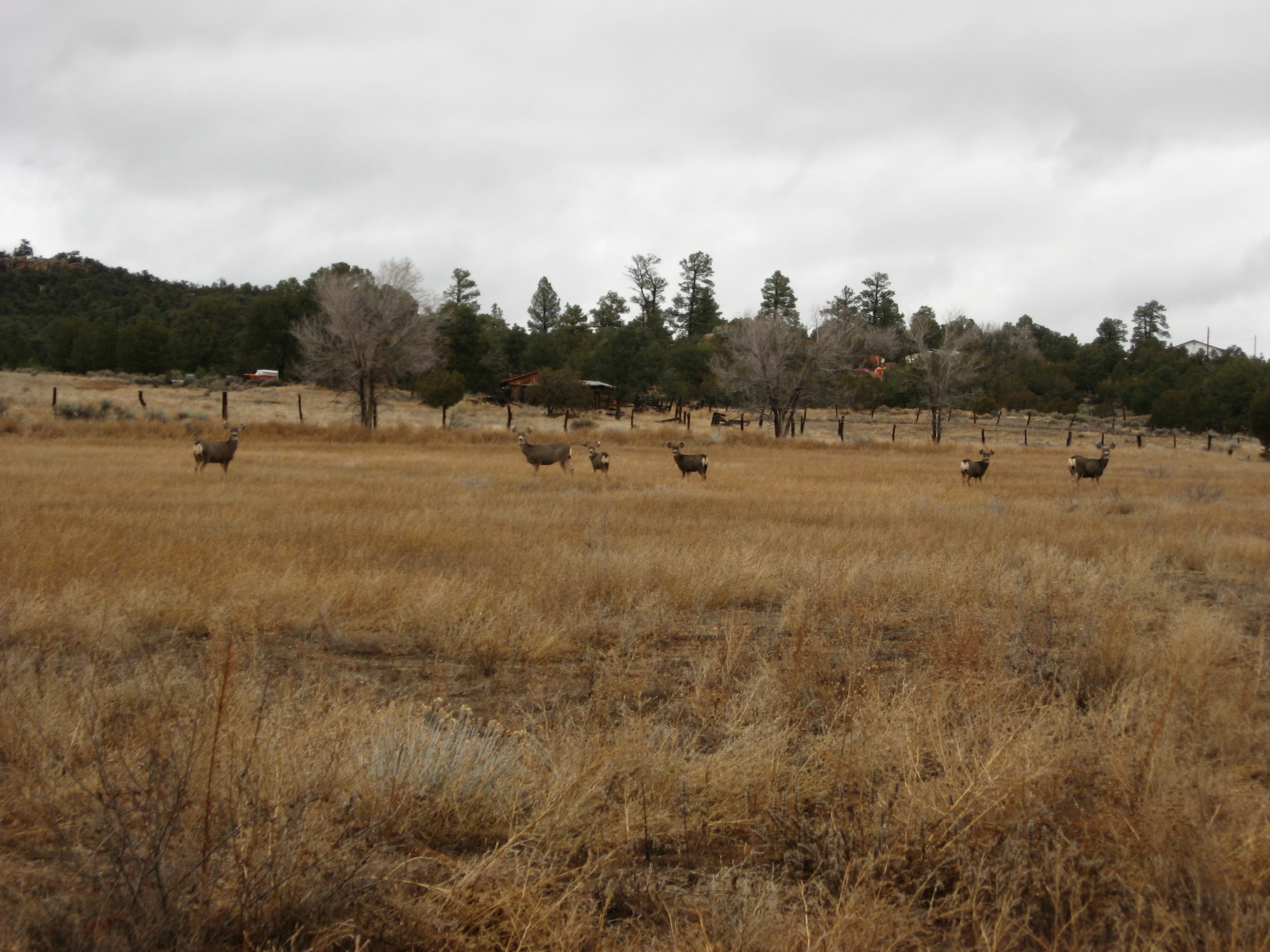
Mule Deer in Ramah, New Mexico
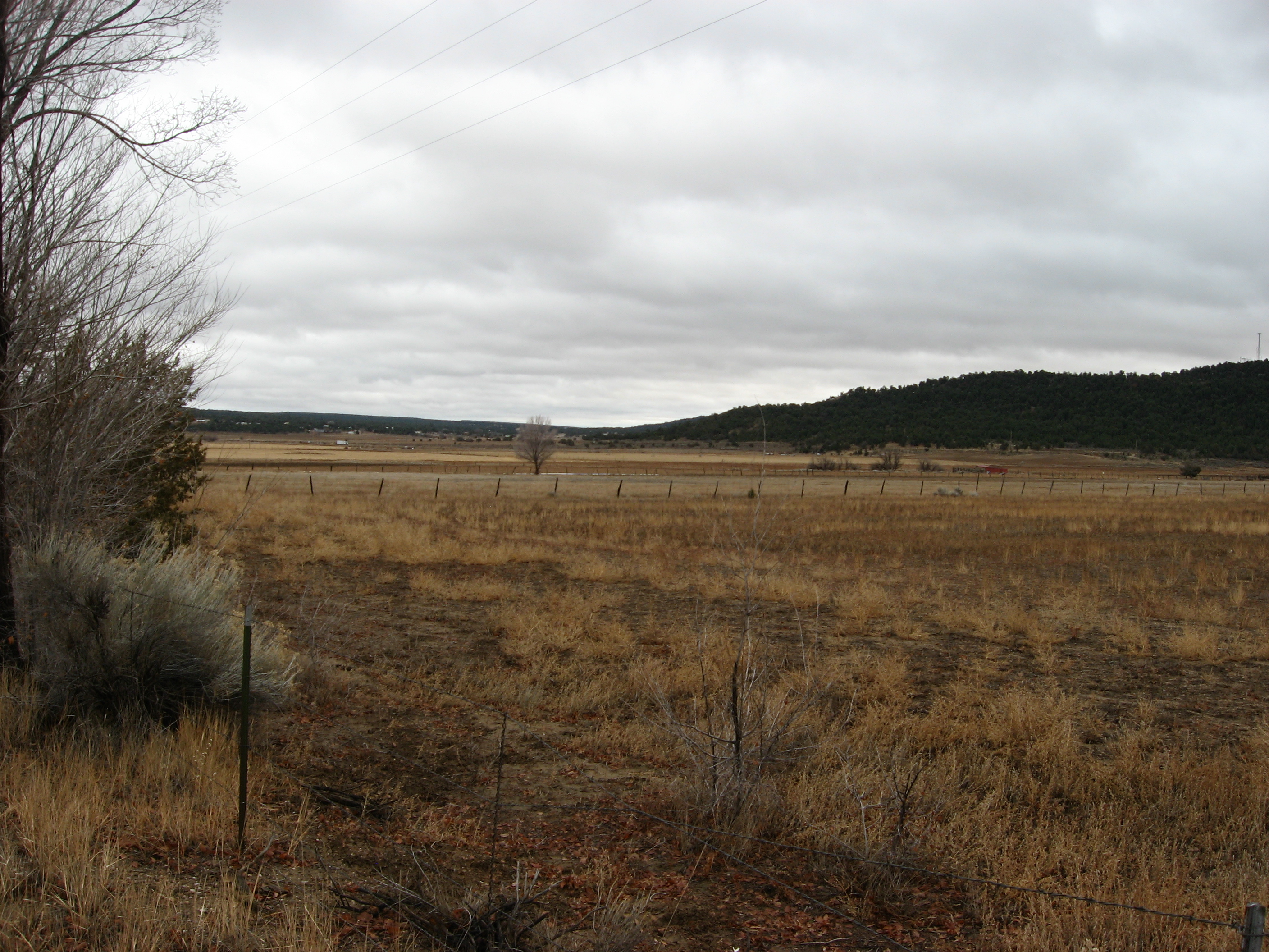
Route 53 Near Ramah, New Mexico

Lost in Cibola

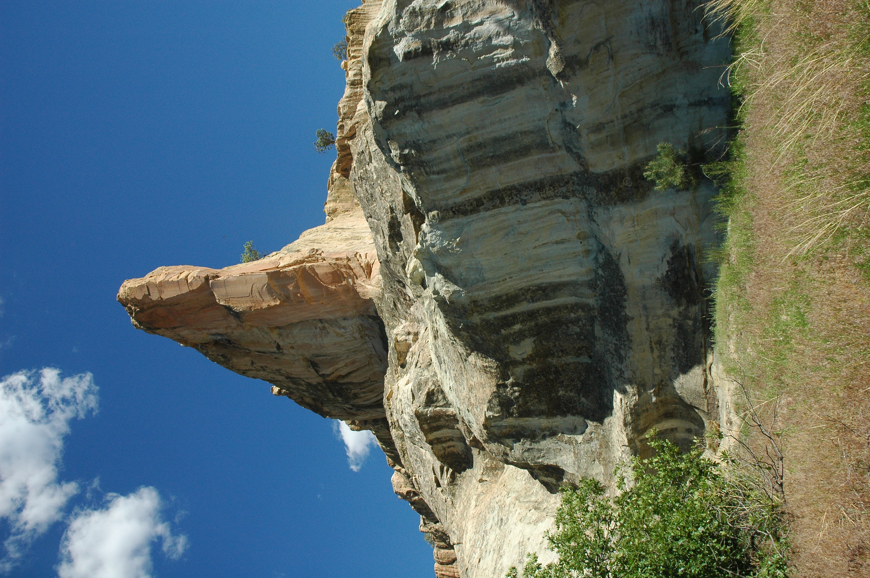
New Mexico Cliffs

More Cliffs

Light Comes In

staircase atop the mesa

bond mesa
The Point at El Morro
Topographic Map of Fox Road, Fox Rd, New Mexico, USA
Find elevation by address:

Places near Fox Road, Fox Rd, New Mexico, USA:
Timberlake Road
Sunrise Way
Jamestown
Coolidge
Continental Divide
Old U.S. 66, Continental Divide, NM, USA
Bread Springs
Fort Wingate
Vanderwagen
Ciniza
Red Rock
Redrock Clinic
Linda Van Asselt-king, Cnm
Nizhoni Blvd & Redrock Dr
Nizhoni Blvd & Redrock Dr
224 Crestwood Ct
Linda Drive
Country Club Drive
S Country Club Dr & Redrock Dr
S Country Club Dr & Redrock Dr
Recent Searches:
- Elevation of Corso Fratelli Cairoli, 35, Macerata MC, Italy
- Elevation of Tallevast Rd, Sarasota, FL, USA
- Elevation of 4th St E, Sonoma, CA, USA
- Elevation of Black Hollow Rd, Pennsdale, PA, USA
- Elevation of Oakland Ave, Williamsport, PA, USA
- Elevation of Pedrógão Grande, Portugal
- Elevation of Klee Dr, Martinsburg, WV, USA
- Elevation of Via Roma, Pieranica CR, Italy
- Elevation of Tavkvetili Mountain, Georgia
- Elevation of Hartfords Bluff Cir, Mt Pleasant, SC, USA