Elevation of Fort Wingate, NM, USA
Location: United States > New Mexico > Mckinley County >
Longitude: -108.54385
Latitude: 35.4718903
Elevation: 2116m / 6942feet
Barometric Pressure: 78KPa
Elevation Map:
Satellite Map:
Related Photos:

Dawn's Early Light... Lit Vintage Neon Sign, East View @ 1960's Road Runner Motel, Route 66, Gallup, NM

Dawn on the Horizon: Vintage Lit Neon Sign, East View of 1960s Road Runner Motel, Route 66, Gallup, NM

Sunrise in Gallup, View to West: Vintage Roadrunner Motel & Atomic-era Neon Sign with Red Arrow, Route 66

Sunrise in Gallup, Lit Neon Sign, Close-up, Morning East View: 1960's Road Runner Motel & Atomic-era Signage, Route 66
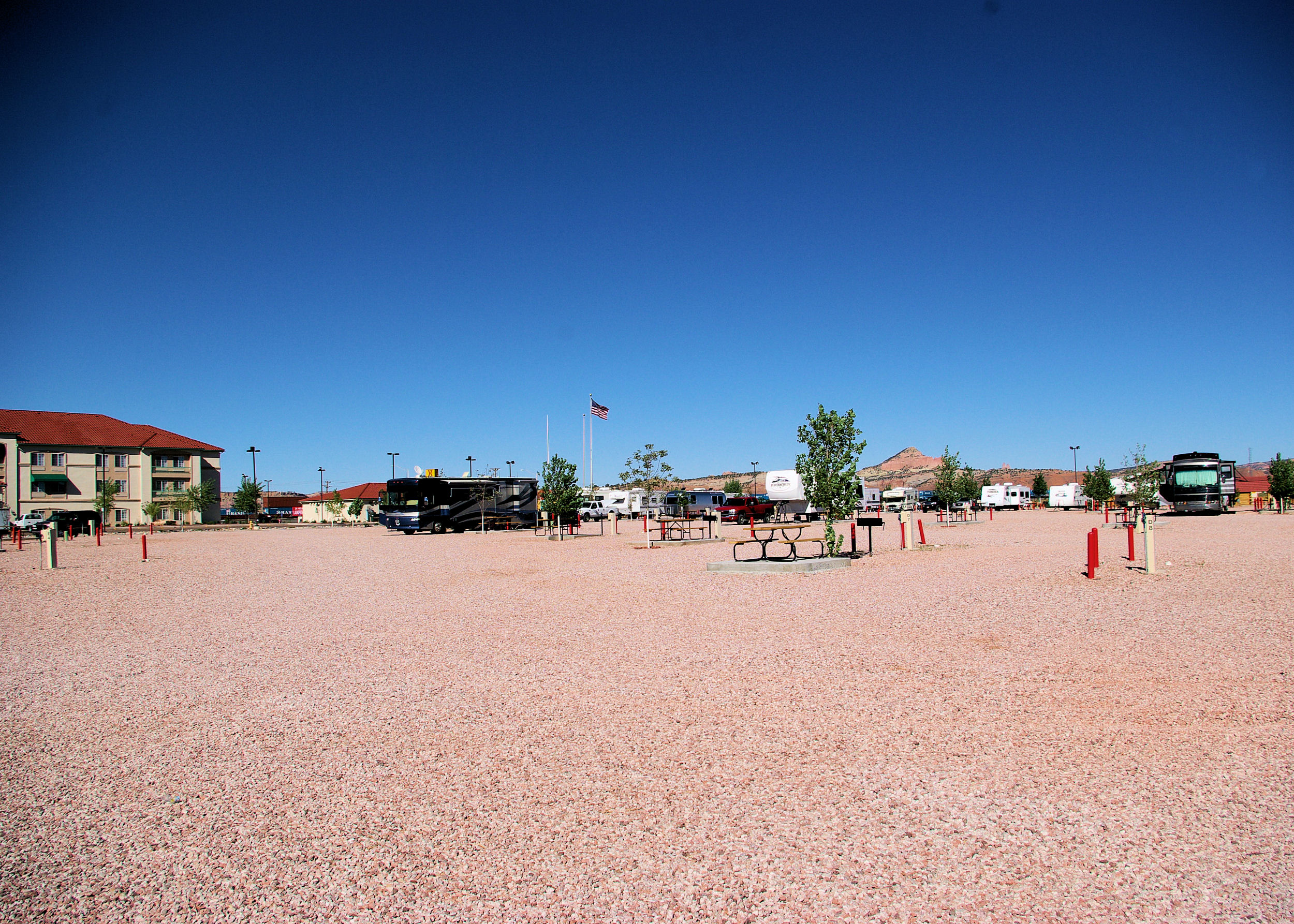
9/25/2007 - Gallup, New Mexico, KOA

9/25/2007 - Gallup, New Mexico, KOA

9/25/2007 - Gallup, New Mexico, KOA
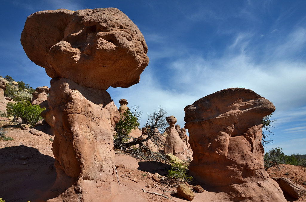
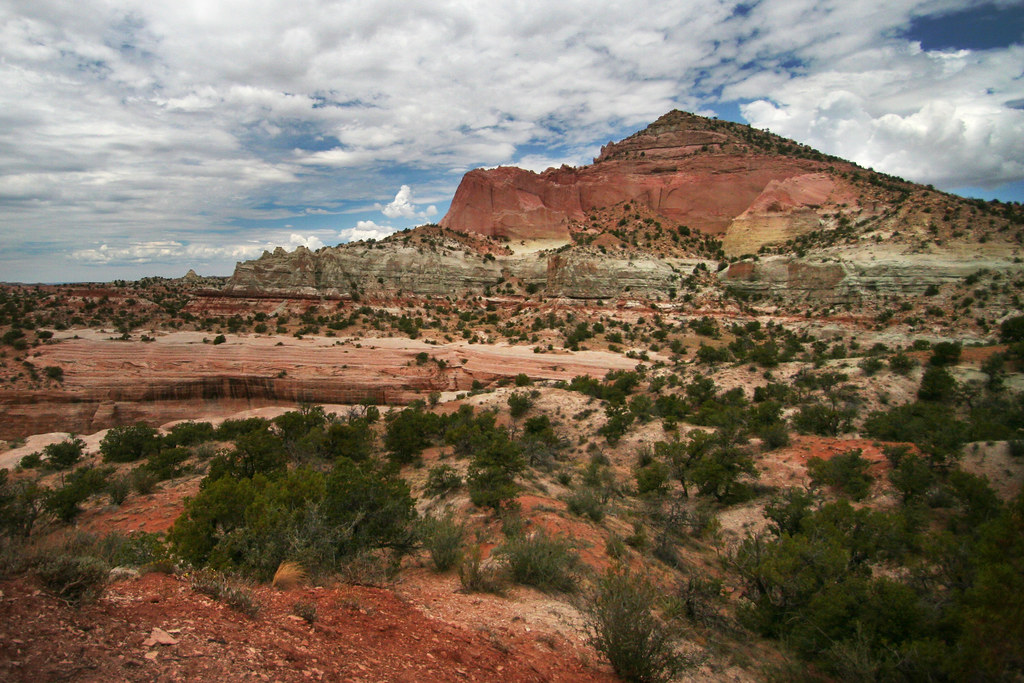
Pinedale Hoodoos

dragons and hoodoos
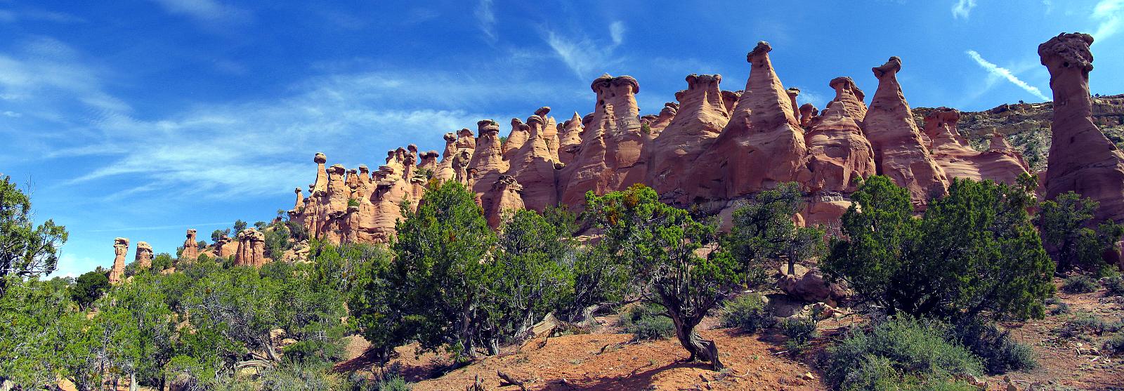
Hoodoos pano
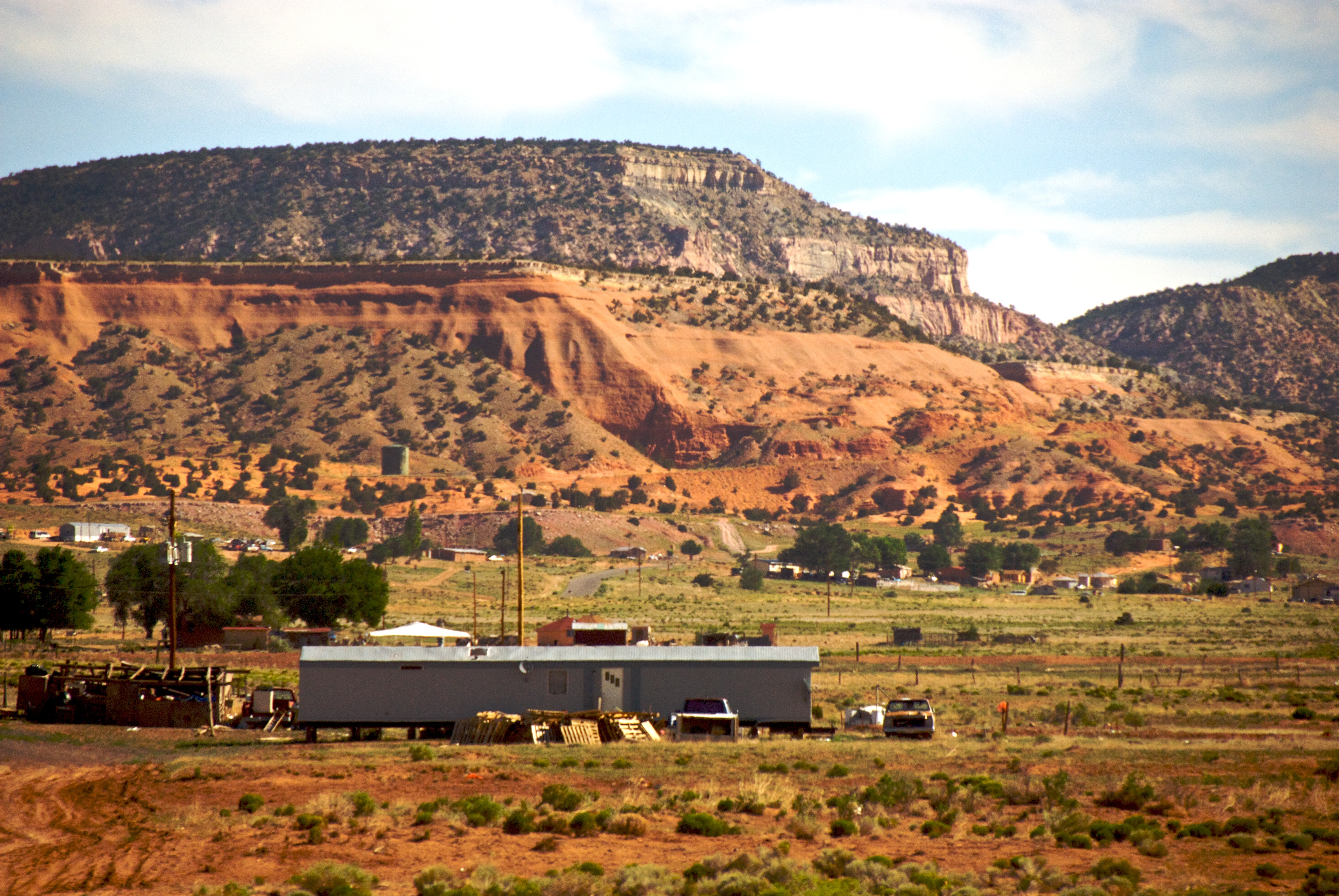
Red rocks in Lyanbito
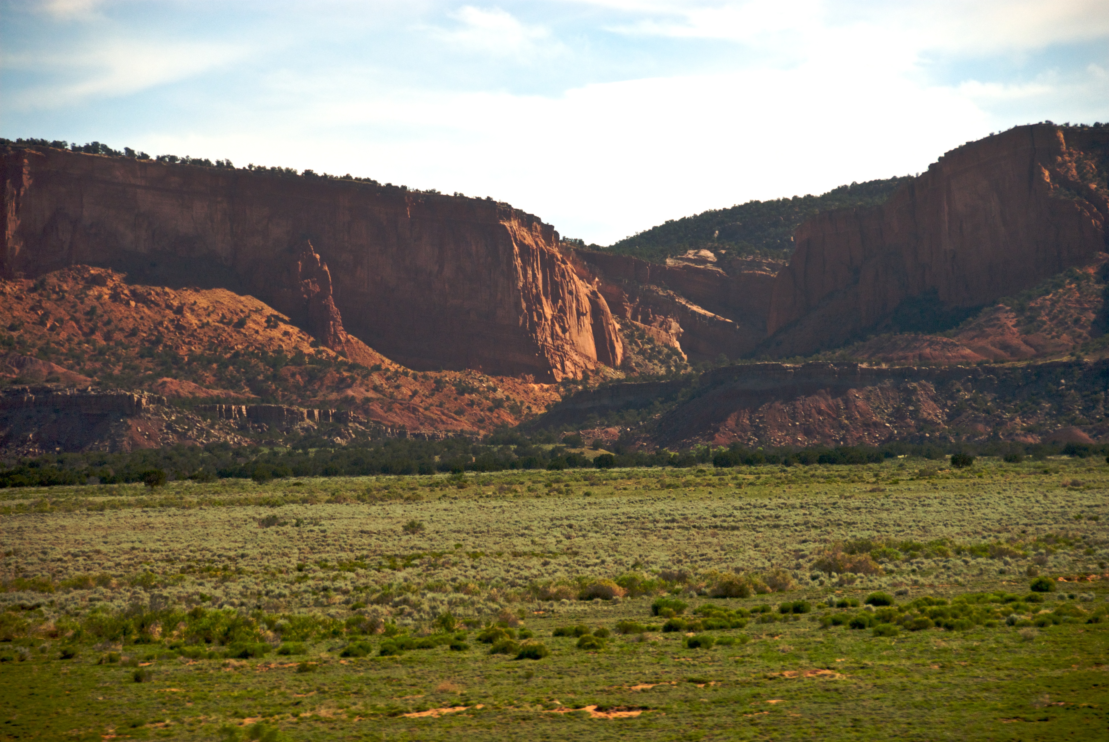
Green plain with red rocks

#newmexico #redrockstatepark
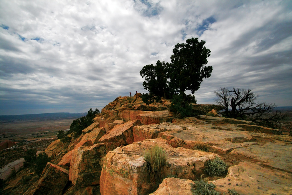
Top of Pyramid Rock, New Mexico
IMG_0532 (8)

Centennial Monument
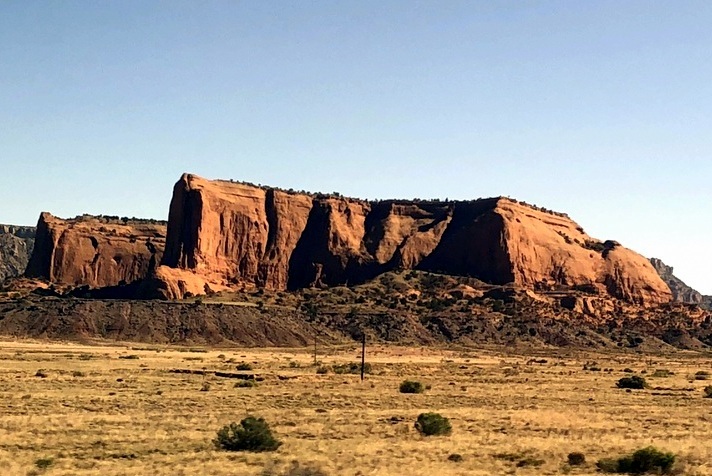
Pyramid Rock, New Mexico
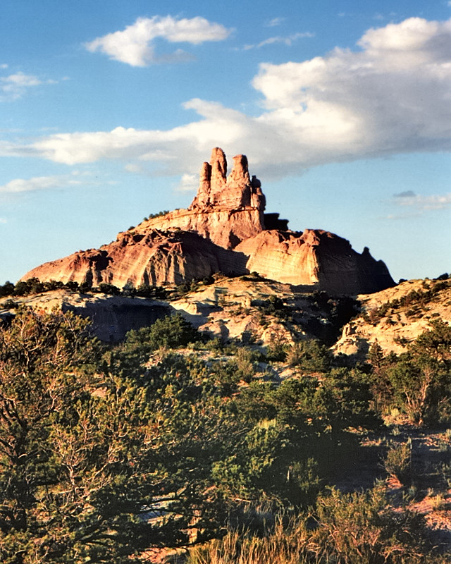
Near Gallup New Mexico - Church Rock in Navajo Nation
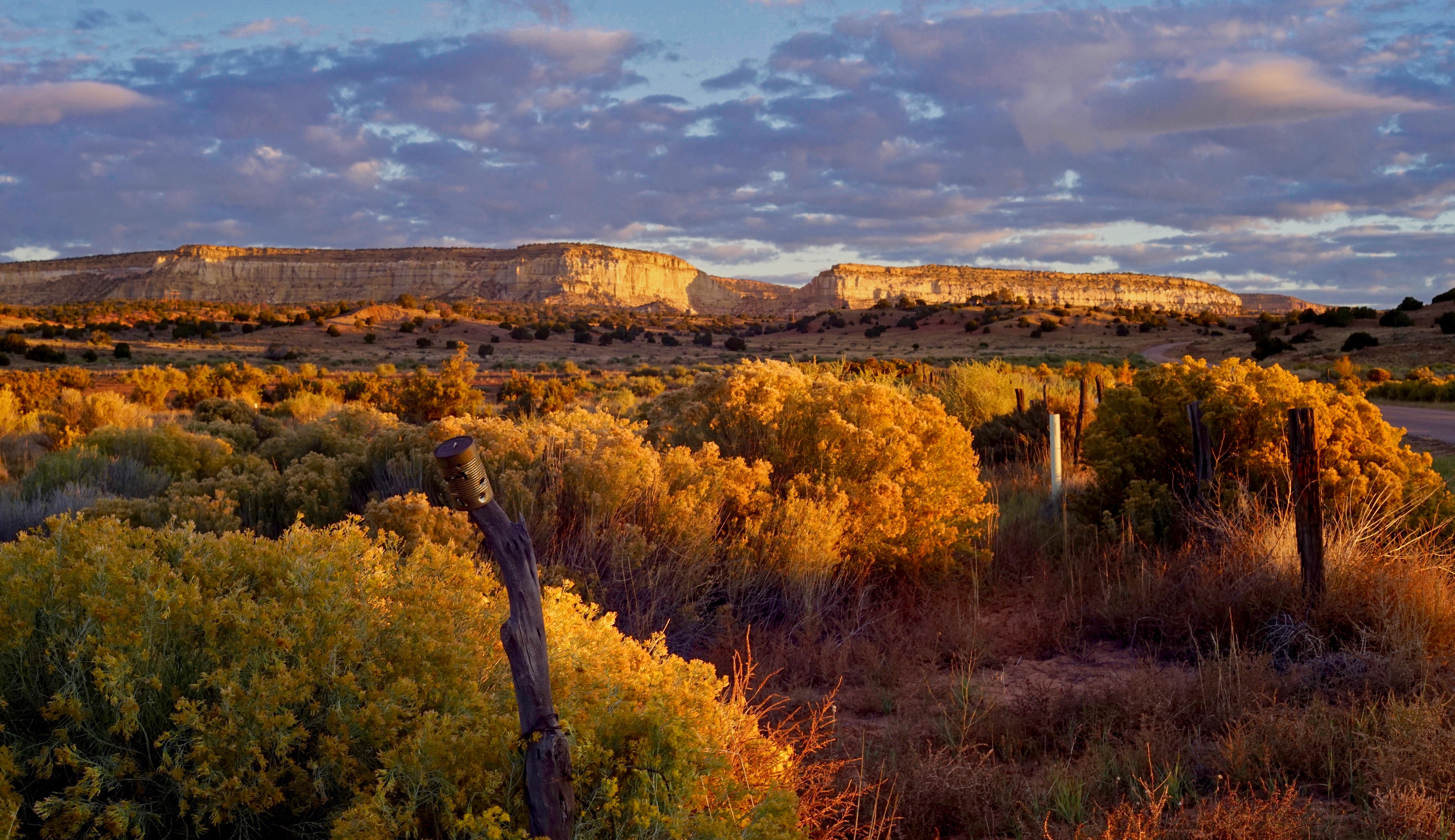
Sunrise, North Side of Gallup with Carl Zeiss 1960s 50mm:1.8 Carl Zeiss Zebra 20 Oct 2018 w Luminar Sky Enhancer
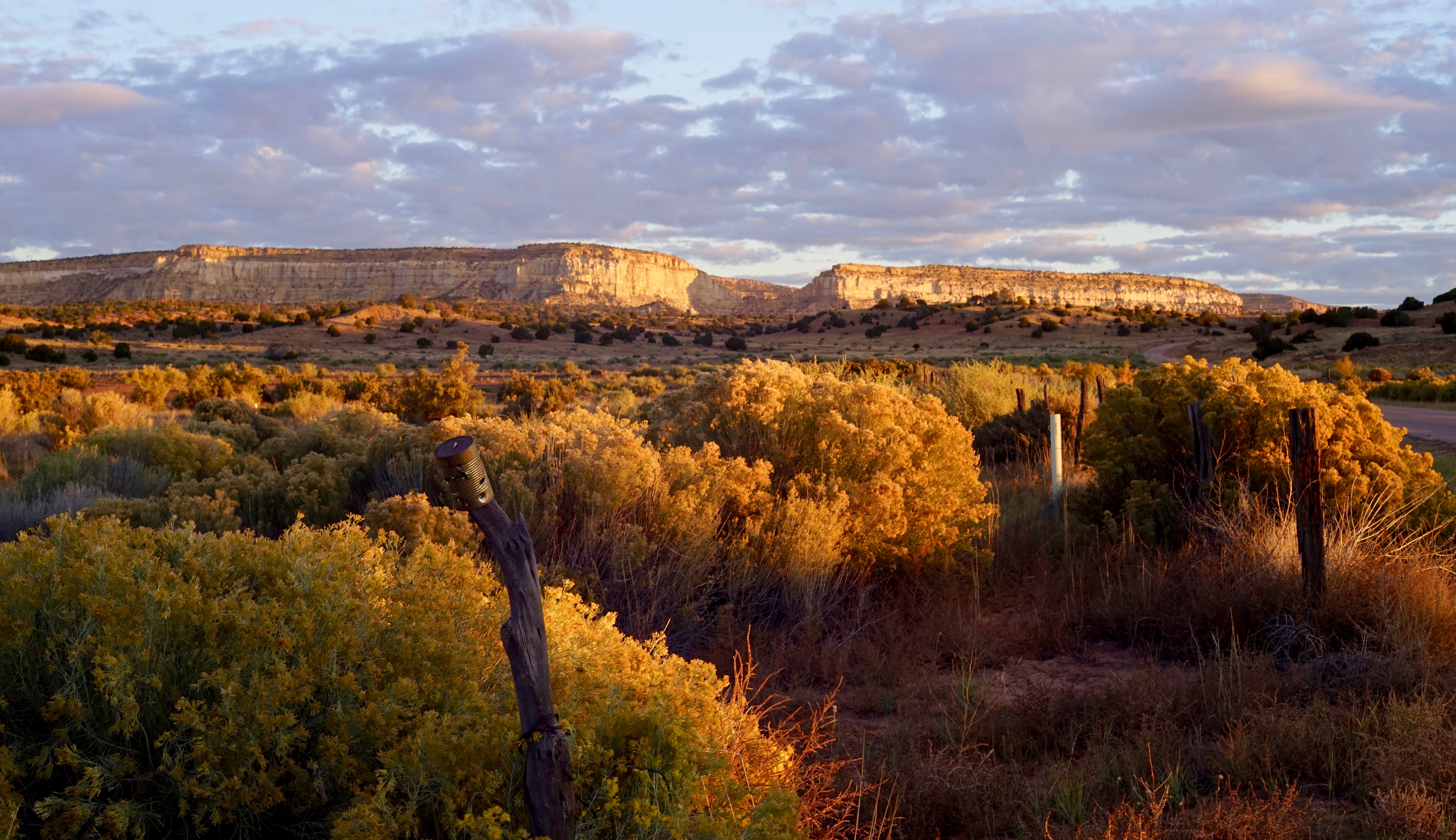
Sunrise, North Side of Gallup with Carl Zeiss 1960s 50mm:1.8 Carl Zeiss Zebra 20 Oct 2018
Topographic Map of Fort Wingate, NM, USA
Find elevation by address:

Places near Fort Wingate, NM, USA:
Jamestown
Ciniza
Bread Springs
Coolidge
Country Club Drive
Linda Drive
Redrock Clinic
Linda Van Asselt-king, Cnm
Nizhoni Blvd & Redrock Dr
Nizhoni Blvd & Redrock Dr
1305 E Hwy 66
S Country Club Dr & Redrock Dr
S Country Club Dr & Redrock Dr
205 Burke Dr
224 Crestwood Ct
South Grandview Drive
S Country Club Dr & E Green Ave
S Grandview Dr & E Green Ave
NM-, Gallup, NM, USA
Gallup
Recent Searches:
- Elevation of Corso Fratelli Cairoli, 35, Macerata MC, Italy
- Elevation of Tallevast Rd, Sarasota, FL, USA
- Elevation of 4th St E, Sonoma, CA, USA
- Elevation of Black Hollow Rd, Pennsdale, PA, USA
- Elevation of Oakland Ave, Williamsport, PA, USA
- Elevation of Pedrógão Grande, Portugal
- Elevation of Klee Dr, Martinsburg, WV, USA
- Elevation of Via Roma, Pieranica CR, Italy
- Elevation of Tavkvetili Mountain, Georgia
- Elevation of Hartfords Bluff Cir, Mt Pleasant, SC, USA