Elevation of Rakovica, Serbia
Location: Serbia > Zlatibor District >
Longitude: 19.7888614
Latitude: 43.6597006
Elevation: 966m / 3169feet
Barometric Pressure: 90KPa
Elevation Map:
Satellite Map:
Related Photos:

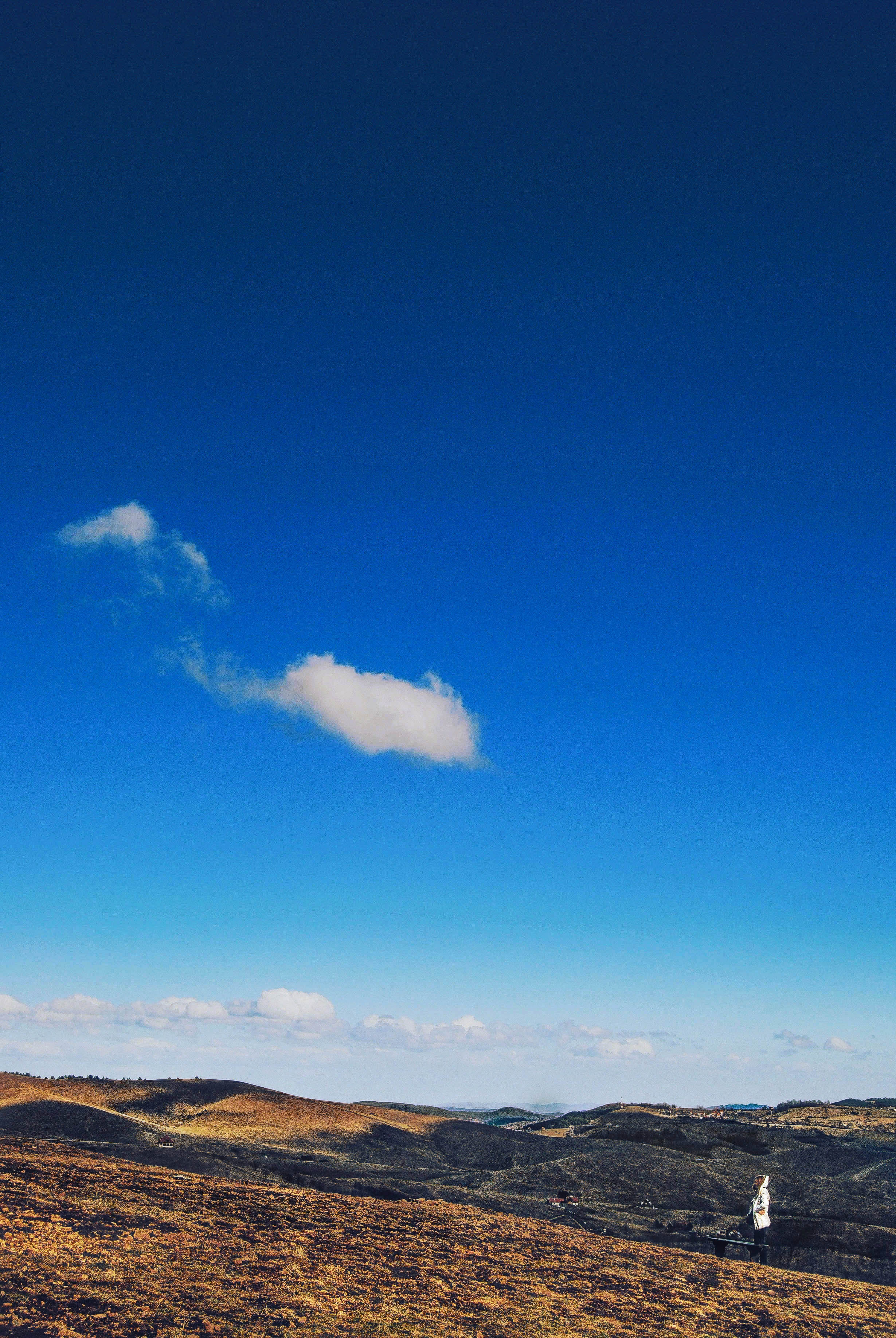
Bench with a view

Golden summer glow

is it a sign?

Gostilje waterfall

RS - Sušica - 441 512

a natural symmetry

in the middle of ...

Gostilje, Zlatibor

Zlatibor skyline 2

Alone against the storm.
Tell her, cloud!!!

Serbia ♥ ~

Vodopad Gostilje 3

After storm...

Fantastic structures of Stopica cave, Serbia

Vodopad Gostilje 4

Vodopad Gostilje 2

Lake reflection.

Mirror lake

Zlatibor landscape.

Gostilje vodopad

Vodopad Gostilje 1

Huawei Honor 9

Xperia Z5
Topographic Map of Rakovica, Serbia
Find elevation by address:

Places near Rakovica, Serbia:
Чигота
Zlatibor District
Zlatibor
Užice
Makovište
Povlen
Crni Vrh
Magleš
Divčibare
Debelo Brdo
Gornje Leskovice
Moravica District
Čačak
Valjevo
Prislonica
Kolubara District
Vujan Monastery
Majdan
Varnice
Borač, Knić
Recent Searches:
- Elevation of Corso Fratelli Cairoli, 35, Macerata MC, Italy
- Elevation of Tallevast Rd, Sarasota, FL, USA
- Elevation of 4th St E, Sonoma, CA, USA
- Elevation of Black Hollow Rd, Pennsdale, PA, USA
- Elevation of Oakland Ave, Williamsport, PA, USA
- Elevation of Pedrógão Grande, Portugal
- Elevation of Klee Dr, Martinsburg, WV, USA
- Elevation of Via Roma, Pieranica CR, Italy
- Elevation of Tavkvetili Mountain, Georgia
- Elevation of Hartfords Bluff Cir, Mt Pleasant, SC, USA