Elevation of Divčibare, Serbia
Location: Serbia > Kolubara District >
Longitude: 19.9817606
Latitude: 44.116097
Elevation: 986m / 3235feet
Barometric Pressure: 90KPa
Elevation Map:
Satellite Map:
Related Photos:
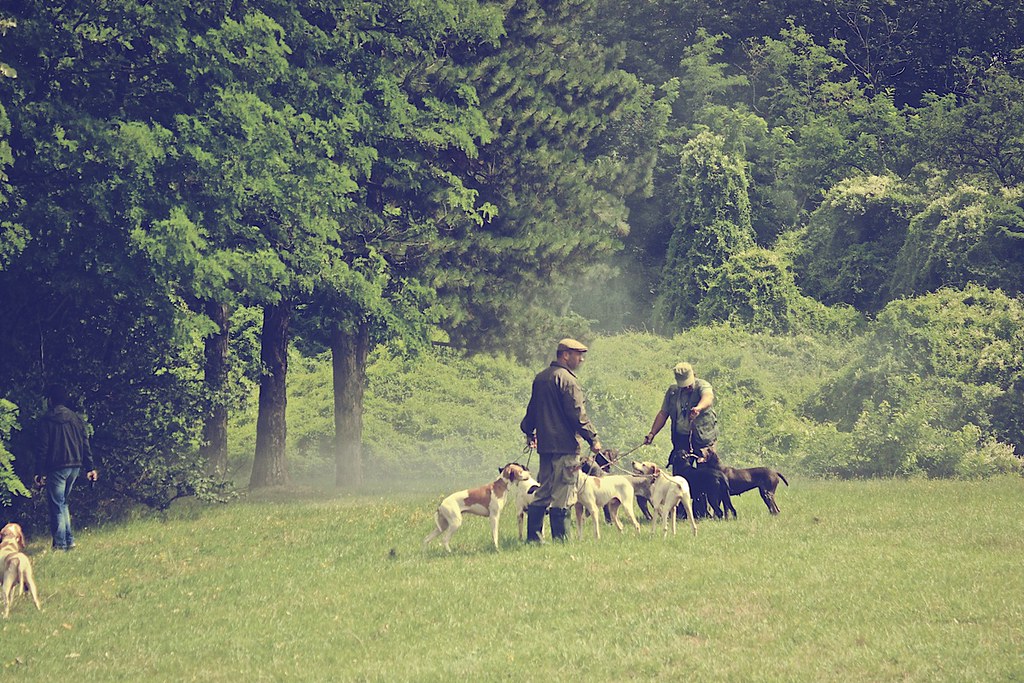
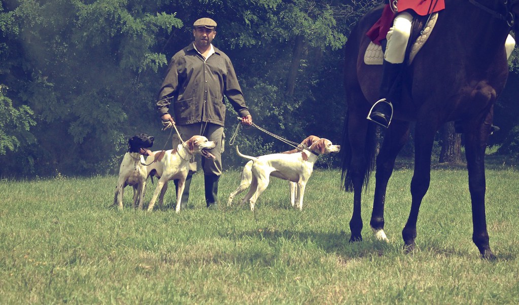
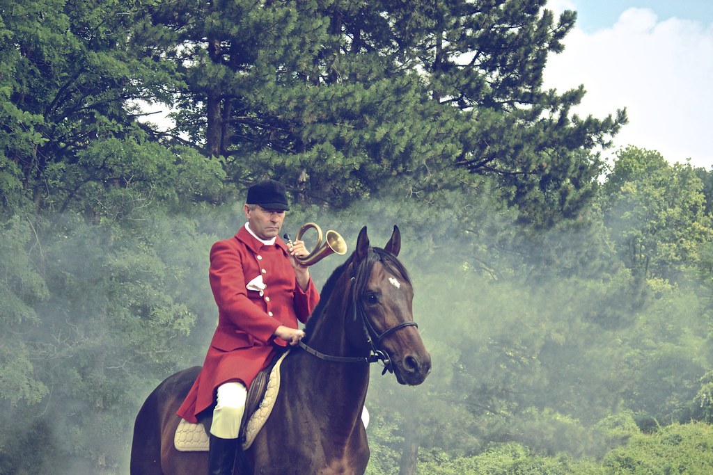
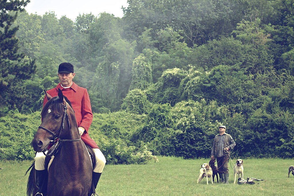
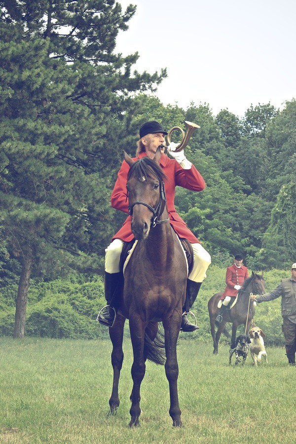
Hunting we will go
2015-11-27 5811
Hunting we will go

Hunting we will go
Hunting we will go

Hunting we will go
Hunting we will go
Hunting we will go
2015-11-27 5787

Paljba Divcibare
Crni Vrh Divcibare 2
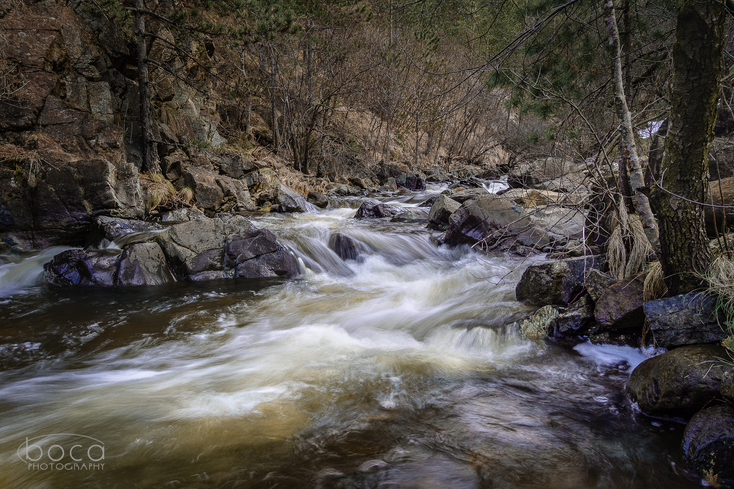
Crna reka, Valjevo

#danube #viminacium #djerdap #clouds #skyporn #road #sunset #nikon #nikond800e #landscape #serbia
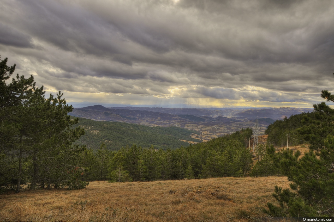
Rain in the distance (HDR)
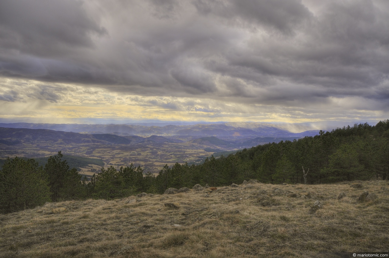
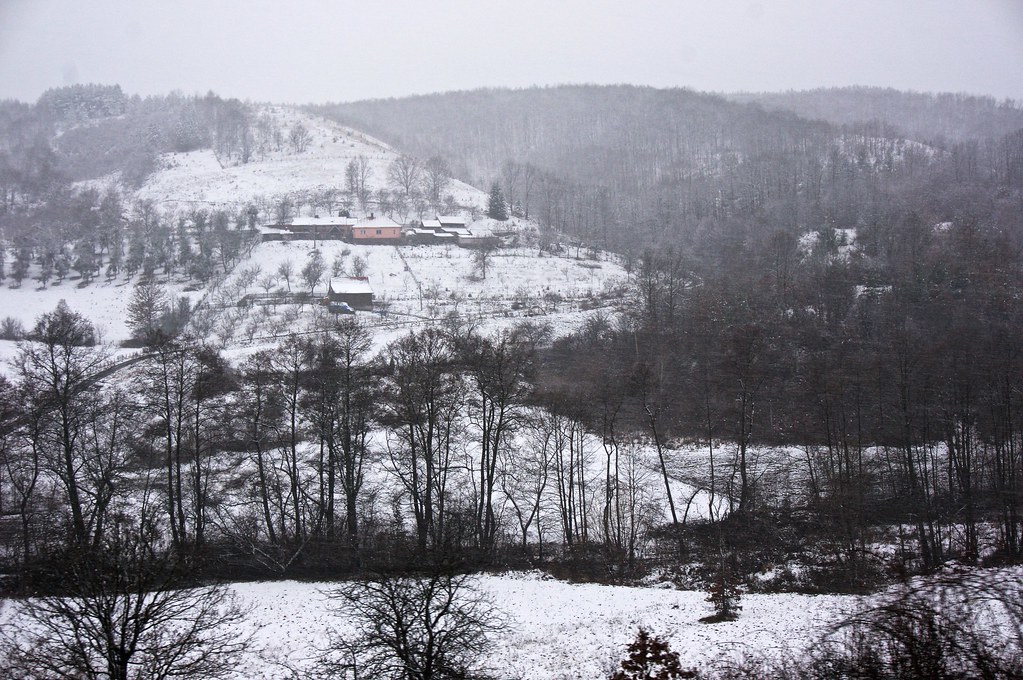
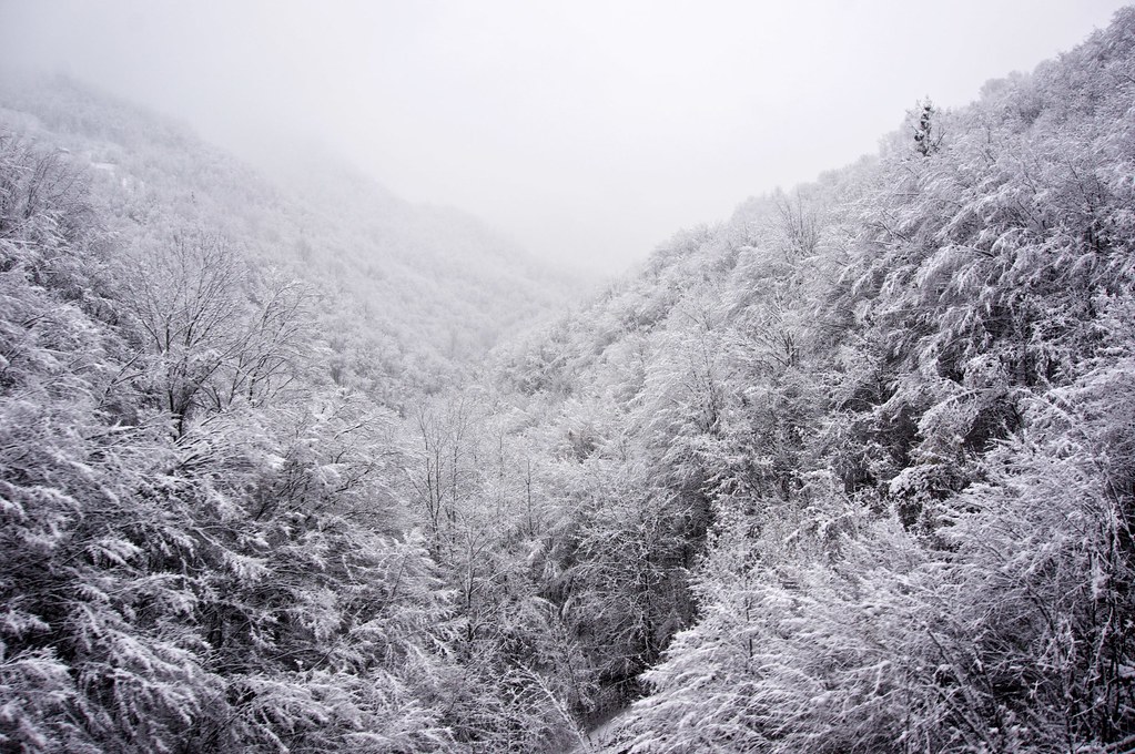
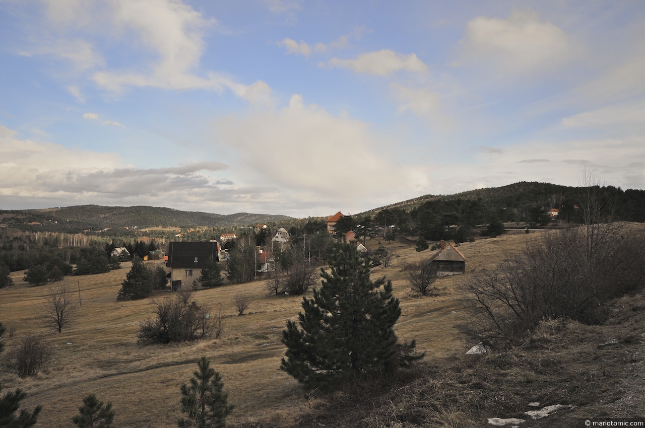
Divčibare (HDR)
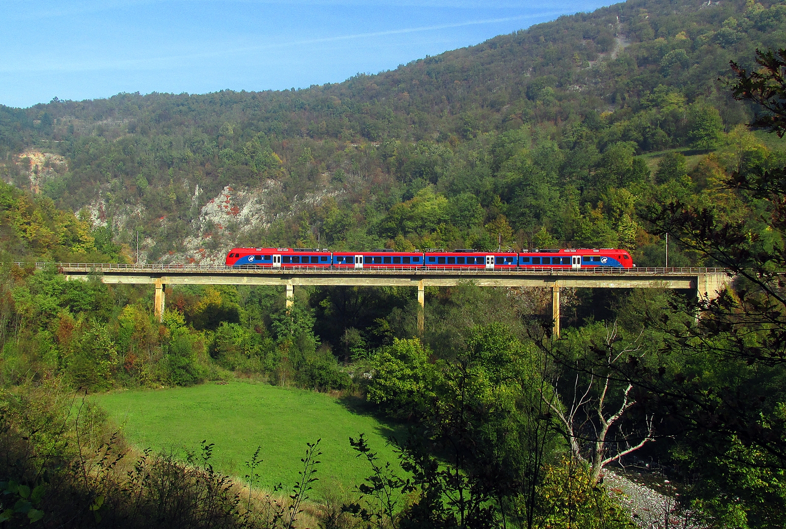
PT 2100 Vrbnica-Beograd
Divčibare
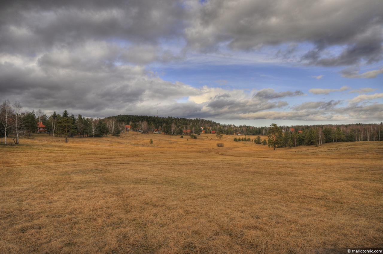
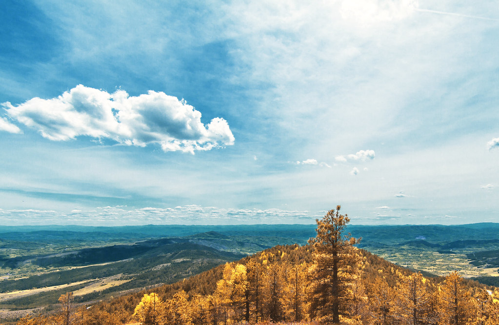
Divčibare field (HDR)
Topographic Map of Divčibare, Serbia
Find elevation by address:

Places near Divčibare, Serbia:
Crni Vrh
Gornje Leskovice
Magleš
Valjevo
Makovište
Kolubara District
Povlen
Debelo Brdo
Užice
Moravica District
Čačak
Varnice
Vujan Monastery
Prislonica
Zlatibor
Rakovica
Чигота
Majdan
Zlatibor District
Vukosavci
Recent Searches:
- Elevation of Corso Fratelli Cairoli, 35, Macerata MC, Italy
- Elevation of Tallevast Rd, Sarasota, FL, USA
- Elevation of 4th St E, Sonoma, CA, USA
- Elevation of Black Hollow Rd, Pennsdale, PA, USA
- Elevation of Oakland Ave, Williamsport, PA, USA
- Elevation of Pedrógão Grande, Portugal
- Elevation of Klee Dr, Martinsburg, WV, USA
- Elevation of Via Roma, Pieranica CR, Italy
- Elevation of Tavkvetili Mountain, Georgia
- Elevation of Hartfords Bluff Cir, Mt Pleasant, SC, USA