Elevation of Kolubara District, Serbia
Location: Serbia >
Longitude: 20.0004305
Latitude: 44.3509811
Elevation: 262m / 860feet
Barometric Pressure: 98KPa
Elevation Map:
Satellite Map:
Related Photos:
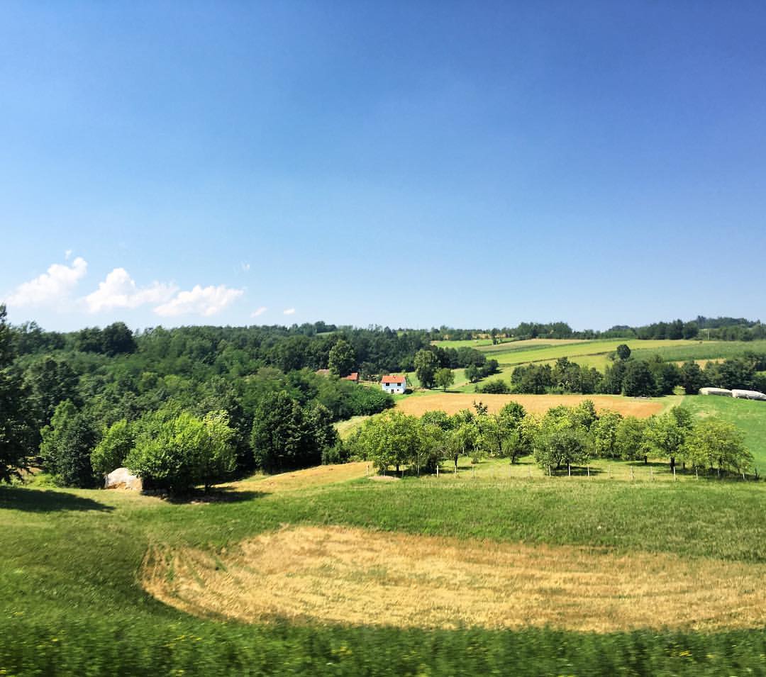
View from Markova stolica, Valjevo

view of the house next door

Morning...Inspirative moment
in the light of childhood...
Church of Lord's Resurrection
Iron and aluminum filings
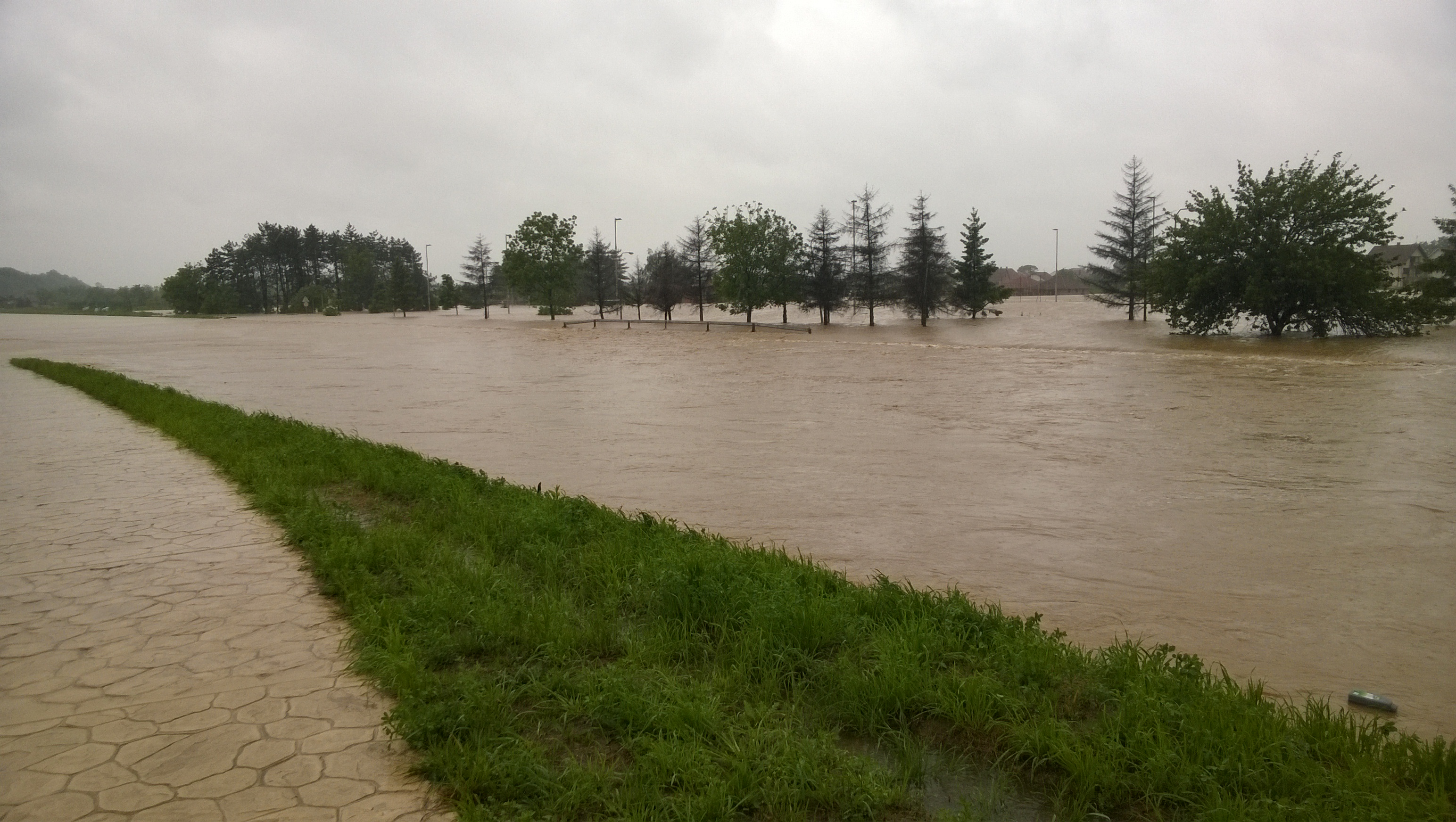
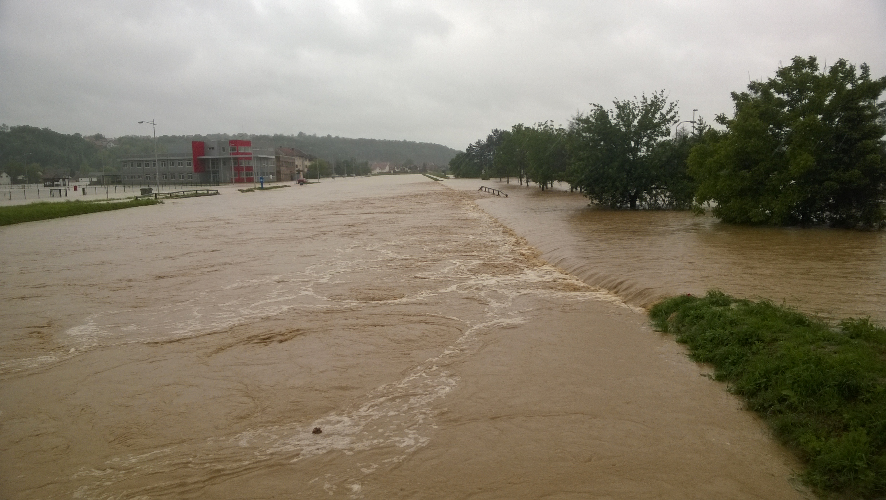
Poplava, 15.05.2014. u 9h
Poplava, 15.05.2014. u 9h
Xperia Z5
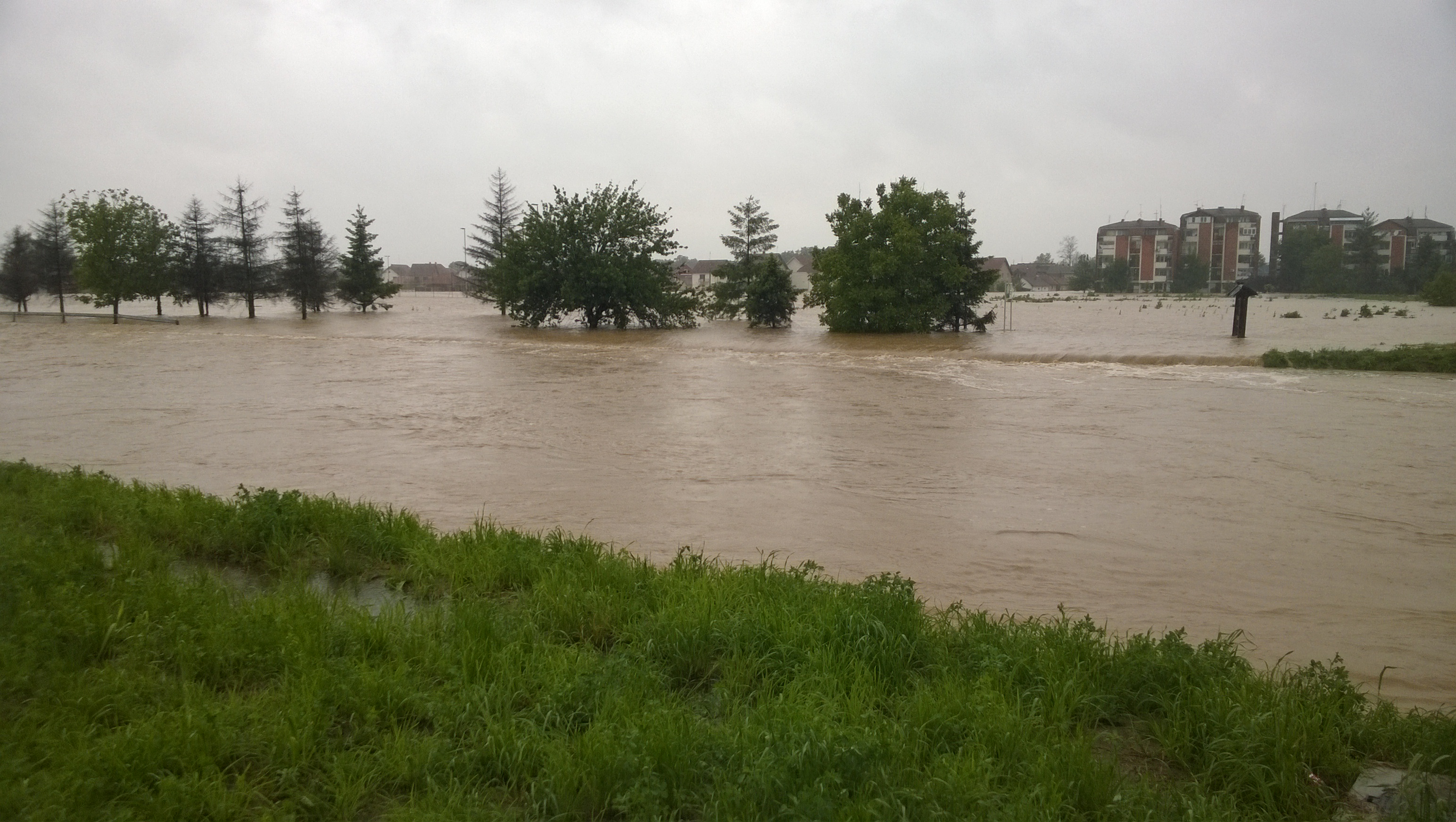
Poplava, 15.05.2014. u 9h
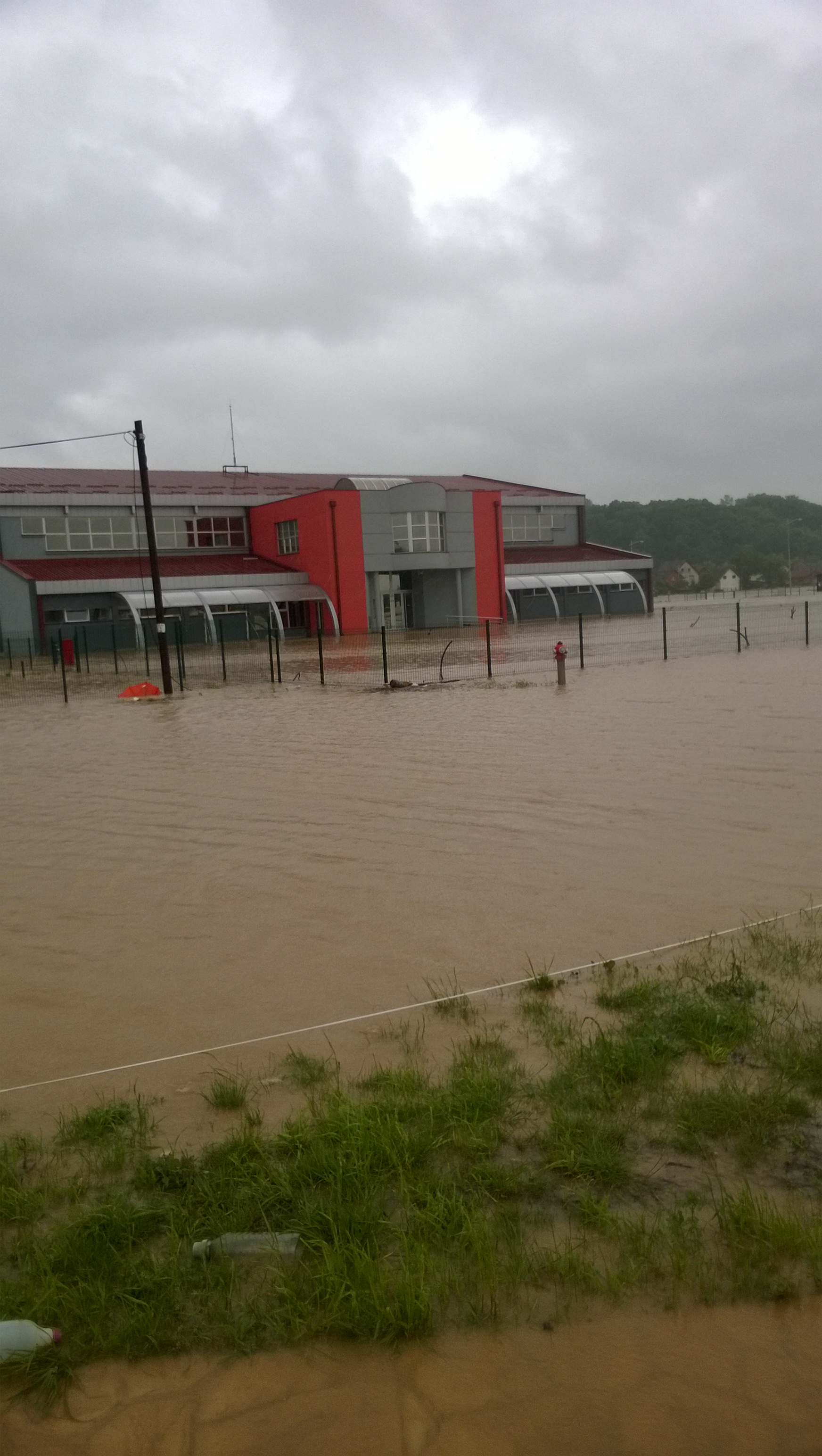
Poplava, 15.05.2014. u 9h

صيف مميز 2016????????????
صيف مميز 2016????????????
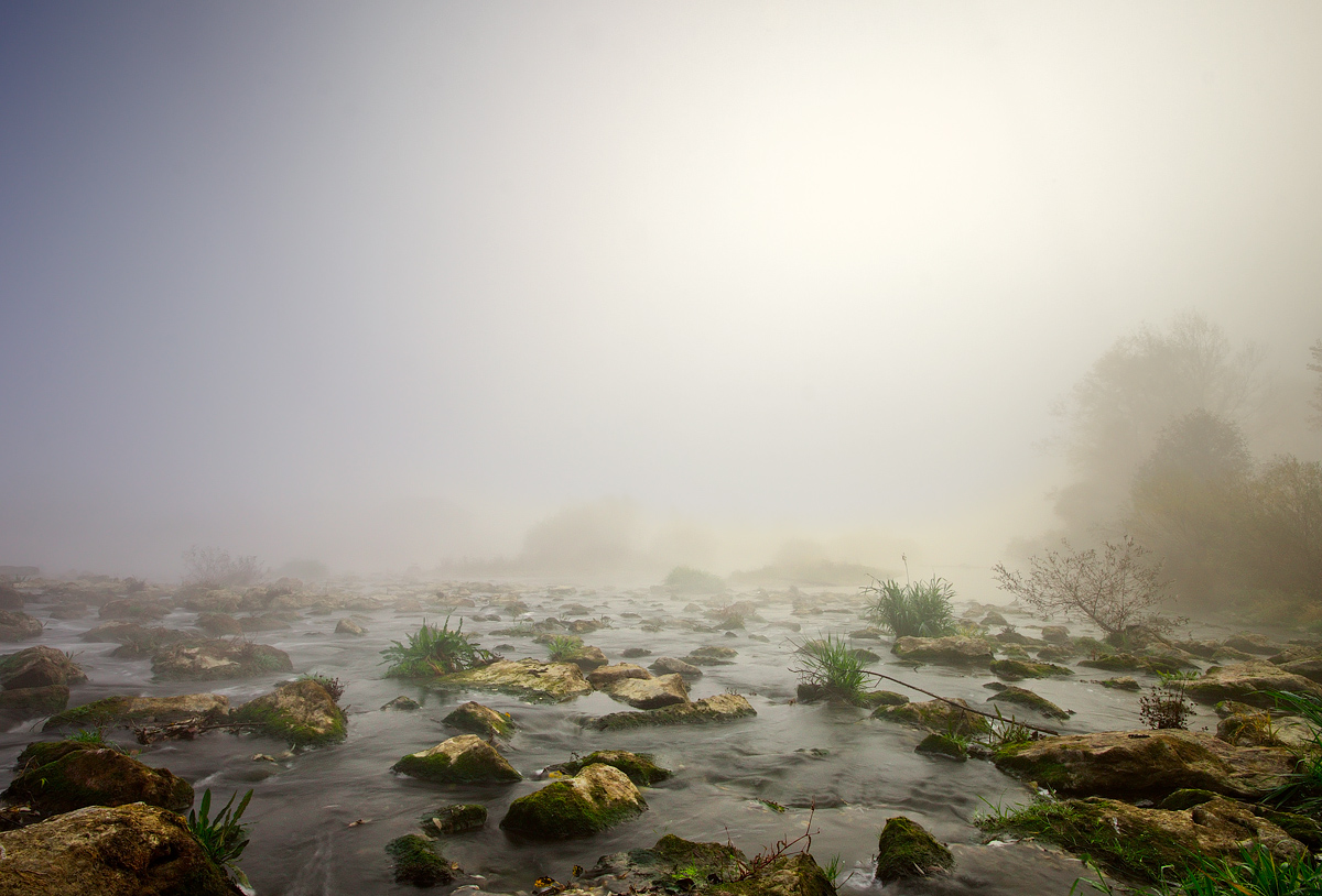
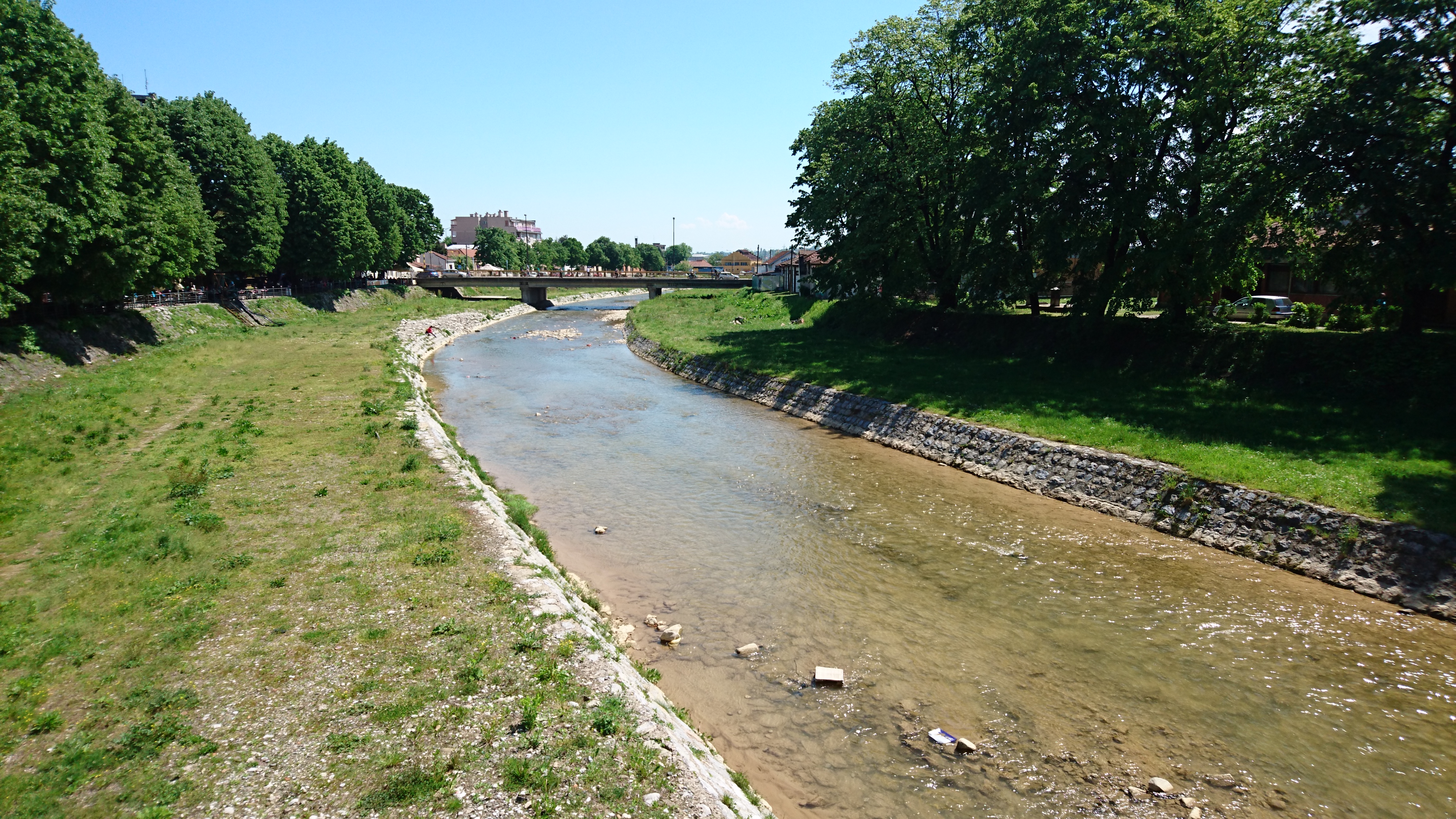
Kolubara River in Fog
Topographic Map of Kolubara District, Serbia
Find elevation by address:

Places in Kolubara District, Serbia:
Places near Kolubara District, Serbia:
Valjevo
Divčibare
Gornje Leskovice
Crni Vrh
Magleš
Provo
Povlen
Makovište
Kupinovo
Debelo Brdo
City Of Belgrade
Miodraga Vukovića 32
Deč
Varnice
Unnamed Road
Barajevo
Užice
Glumčevo Brdo
Dobanovci
Vukosavci
Recent Searches:
- Elevation of Corso Fratelli Cairoli, 35, Macerata MC, Italy
- Elevation of Tallevast Rd, Sarasota, FL, USA
- Elevation of 4th St E, Sonoma, CA, USA
- Elevation of Black Hollow Rd, Pennsdale, PA, USA
- Elevation of Oakland Ave, Williamsport, PA, USA
- Elevation of Pedrógão Grande, Portugal
- Elevation of Klee Dr, Martinsburg, WV, USA
- Elevation of Via Roma, Pieranica CR, Italy
- Elevation of Tavkvetili Mountain, Georgia
- Elevation of Hartfords Bluff Cir, Mt Pleasant, SC, USA