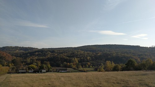
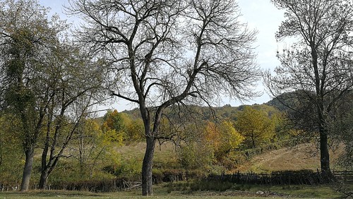
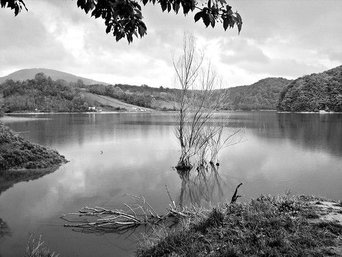
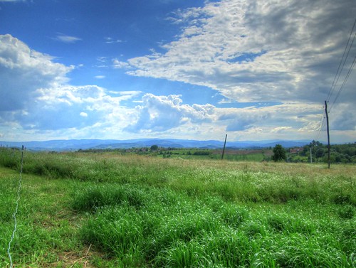
Elevation of Varnice, Serbia
Location: Serbia > Moravica District >
Longitude: 20.4563185
Latitude: 44.1858555
Elevation: 466m / 1529feet
Barometric Pressure: 96KPa
Related Photos:
Topographic Map of Varnice, Serbia
Find elevation by address:

Places near Varnice, Serbia:
Vukosavci
Majdan
Rudnik
Vujan Monastery
Prislonica
Borač, Knić
Rogača
Kosmaj
Čačak
Sumadija
Sopot
Knić
Moravica District
Miodraga Vukovića 32
City Of Belgrade
Barajevo
Glumčevo Brdo
Miločaj
Autobuska Okretnica Linije 408 Gsp
Ripanj
Recent Searches:
- Elevation of Corso Fratelli Cairoli, 35, Macerata MC, Italy
- Elevation of Tallevast Rd, Sarasota, FL, USA
- Elevation of 4th St E, Sonoma, CA, USA
- Elevation of Black Hollow Rd, Pennsdale, PA, USA
- Elevation of Oakland Ave, Williamsport, PA, USA
- Elevation of Pedrógão Grande, Portugal
- Elevation of Klee Dr, Martinsburg, WV, USA
- Elevation of Via Roma, Pieranica CR, Italy
- Elevation of Tavkvetili Mountain, Georgia
- Elevation of Hartfords Bluff Cir, Mt Pleasant, SC, USA


