Elevation of Quinn Rd, Bremen, IN, USA
Location: United States > Indiana > St. Joseph County > Union Township >
Longitude: -86.200839
Latitude: 41.520032
Elevation: 261m / 856feet
Barometric Pressure: 0KPa
Related Photos:

Bird nest in the middle of a lake

Shithead Driver of the Day

Don't Walk

wow different view from up here

#indiana #nofilter

The night he asked me to marry him.
2011-02-03 18-55-53 - Version 2

Orange sky and glowing rails
Elkhart, Indiana

Picture 125-2
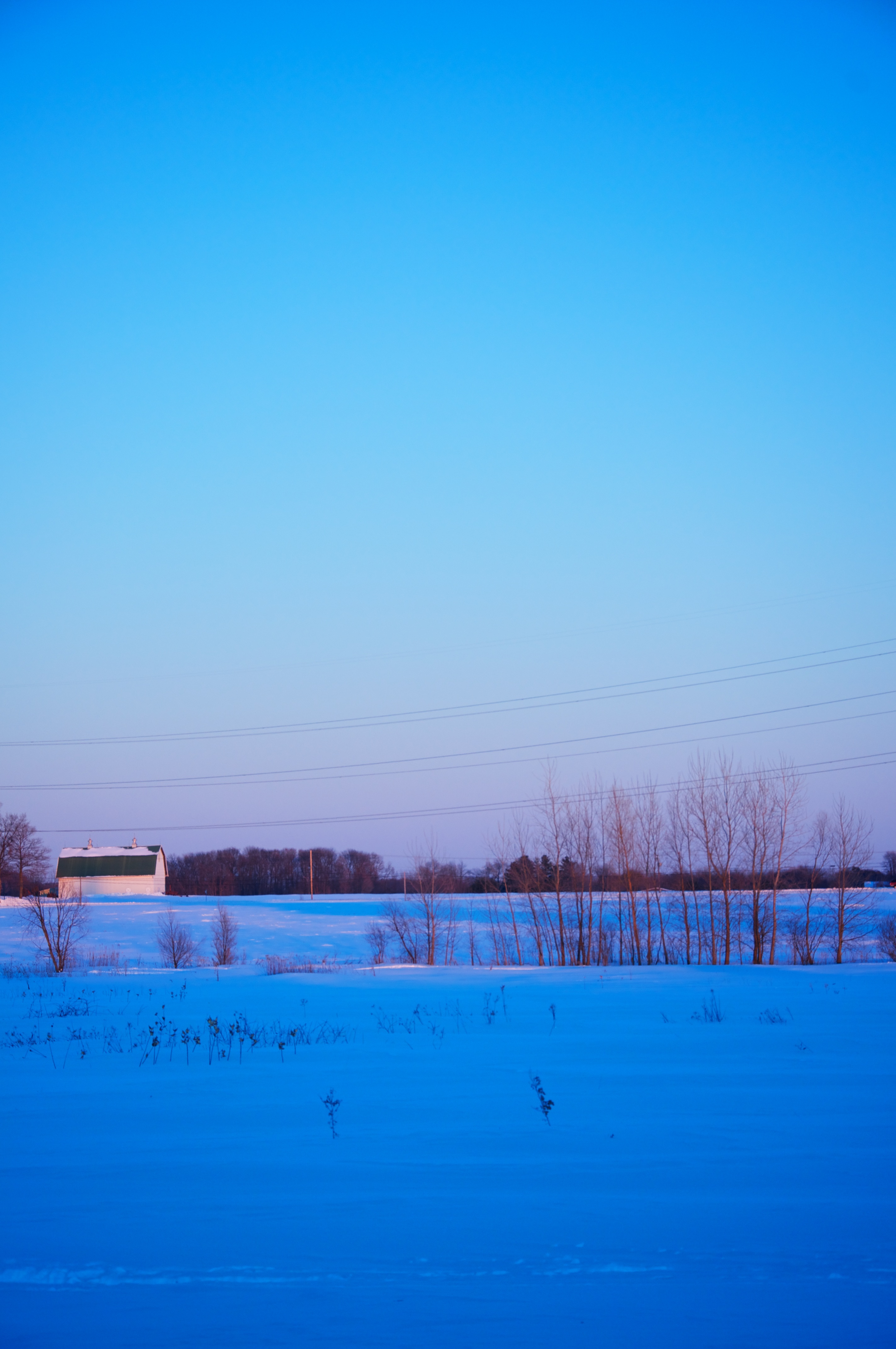
Indiana countryside #country #indiana #landscape

Lonely Forest

White Tiger
Rum Village

2011-02-03 18-59-51 - Version 2

Owl Prowl

Midwestern Skies (still shot)

Glimpses of a Sunset

Flying Spaghetti Monster

morning at Rum Village

Springtime grass

lake saga

Sunset HDR

lake saga

waters edge
Topographic Map of Quinn Rd, Bremen, IN, USA
Find elevation by address:

Places near Quinn Rd, Bremen, IN, USA:
65455 Miami Rd
Wyatt
64816 Miami Rd
New Rd, South Bend, IN, USA
Lakeville
Union Township
Meadowlark Ln, South Bend, IN, USA
Centre Township
Gulivoire Park
Roosevelt Rd, South Bend, IN, USA
South Bend, IN, USA
Jewell Ave, South Bend, IN, USA
South Bend Bmv Branch
Kern Road
1965 Brookmede Dr
Twyckenham Hills
14314 Ireland Rd
148 Altgeld St
61330 Mayflower Rd
Greene Township
Recent Searches:
- Elevation of Clifton Down, Clifton, Bristol, City of Bristol, England, BS8 3HU, United Kingdom
- Elevation map of Auvergne-Rhône-Alpes, France
- Elevation map of Upper Savoy, Auvergne-Rhône-Alpes, France
- Elevation of Chamonix-Mont-Blanc, Upper Savoy, Auvergne-Rhône-Alpes, France
- Elevation of 908, Northwood Drive, Bridge Field, Chesapeake, Virginia, 23322, USA
- Elevation map of Nagano Prefecture, Japan
- Elevation of 587, Bascule Drive, Oakdale, Stanislaus County, California, 95361, USA
- Elevation of Stadion Wankdorf, Sempachstrasse, Breitfeld, Bern, Bern-Mittelland administrative district, Bern, 3014, Switzerland
- Elevation of Z024, 76, Emil-von-Behring-Straße, Marbach, Marburg, Landkreis Marburg-Biedenkopf, Hesse, 35041, Germany
- Elevation of Gaskill Road, Hunts Cross, Liverpool, England, L24 9PH, United Kingdom
- Elevation of Speke, Liverpool, England, L24 9HD, United Kingdom
- Elevation of Seqirus, 475, Green Oaks Parkway, Holly Springs, Wake County, North Carolina, 27540, USA
- Elevation of Pasing, Munich, Bavaria, 81241, Germany
- Elevation of 24, Auburn Bay Crescent SE, Auburn Bay, Calgary, Alberta, T3M 0A6, Canada
- Elevation of Denver, 2314, Arapahoe Street, Five Points, Denver, Colorado, 80205, USA
- Elevation of Community of the Beatitudes, 2924, West 43rd Avenue, Sunnyside, Denver, Colorado, 80211, USA
- Elevation map of Litang County, Sichuan, China
- Elevation map of Madoi County, Qinghai, China
- Elevation of 3314, Ohio State Route 114, Payne, Paulding County, Ohio, 45880, USA
- Elevation of Sarahills Drive, Saratoga, Santa Clara County, California, 95070, USA