Elevation of Lakeville, IN, USA
Location: United States > Indiana > St. Joseph County > Union Township >
Longitude: -86.273339
Latitude: 41.5244919
Elevation: 257m / 843feet
Barometric Pressure: 98KPa
Elevation Map:
Satellite Map:
Related Photos:

Wilson Shirt Factory Revisited

CSX SCL 8130 - 9/25/1989

Wilson Bros. Shirt Co.

Wilson Shirt Factory

Wilson Shirt Factory

Wilson Shirt Factory Mapped

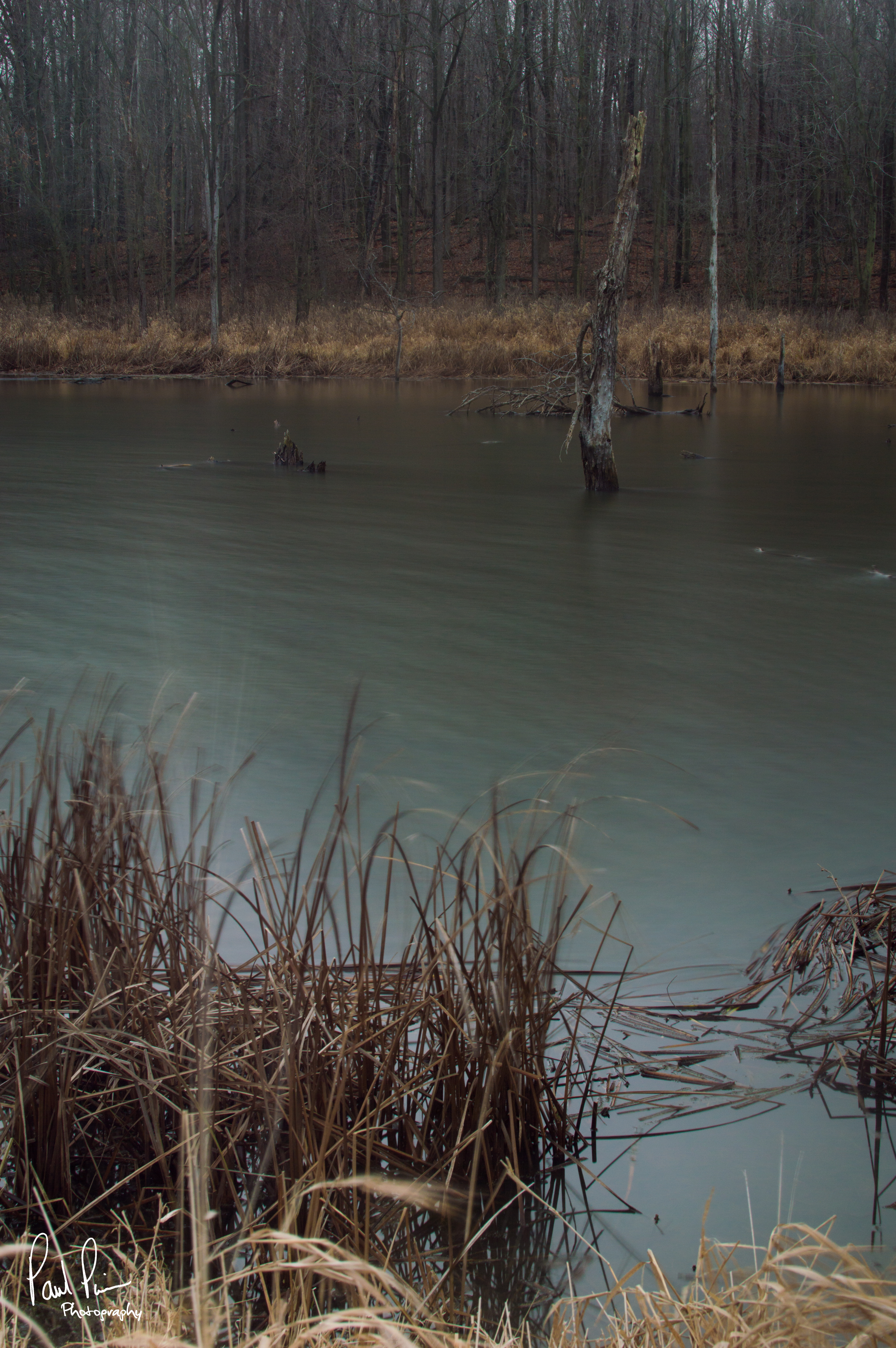
Bird nest in the middle of the lake (wide shot)

South Bend, Indiana and the University of Notre Dame

Capital Limited South Bend, Indiana

Bird nest in the middle of a lake

In search of colour

Urban colour

wow different view from up here

Peaceful Stream

Little stream - autumn forest

Peaceful Stream

Sunset over Worster Lake

Lonely bench in the forest

yeah, this pretty much goes nowhere.

Country Side

At Honkers.

Flying Spaghetti Monster

Lonely Forest

morning at Rum Village

Park Land

Potato Creek State Park Hike

Lake in the Woods near Bremen, Indiana
waters edge

Country Side

Indiana country side. #Indiana #field #clouds

Fairmount Cemetery

1970s or so - Bowser Sand and Gravel

After Sunset at Lake in the Woods near Bremen, IN
Topographic Map of Lakeville, IN, USA
Find elevation by address:

Places near Lakeville, IN, USA:
Union Township
65455 Miami Rd
64816 Miami Rd
Roosevelt Rd, South Bend, IN, USA
Quinn Rd, Bremen, IN, USA
South Bend, IN, USA
Meadowlark Ln, South Bend, IN, USA
Centre Township
Kern Road
61330 Mayflower Rd
Greene Township
Gulivoire Park
61012 Mayflower Rd
Jewell Ave, South Bend, IN, USA
New Rd, South Bend, IN, USA
Wyatt
South Bend Bmv Branch
St. Joseph County
Liberty Township
148 Altgeld St
Recent Searches:
- Elevation of Corso Fratelli Cairoli, 35, Macerata MC, Italy
- Elevation of Tallevast Rd, Sarasota, FL, USA
- Elevation of 4th St E, Sonoma, CA, USA
- Elevation of Black Hollow Rd, Pennsdale, PA, USA
- Elevation of Oakland Ave, Williamsport, PA, USA
- Elevation of Pedrógão Grande, Portugal
- Elevation of Klee Dr, Martinsburg, WV, USA
- Elevation of Via Roma, Pieranica CR, Italy
- Elevation of Tavkvetili Mountain, Georgia
- Elevation of Hartfords Bluff Cir, Mt Pleasant, SC, USA