Elevation of Union Township, IN, USA
Location: United States > Indiana > St. Joseph County >
Longitude: -86.276799
Latitude: 41.5211256
Elevation: 253m / 830feet
Barometric Pressure: 98KPa
Elevation Map:
Satellite Map:
Related Photos:

Bird nest in the middle of a lake

Shithead Driver of the Day

wow different view from up here

yeah, this pretty much goes nowhere.

Picture 125-2

The night he asked me to marry him.
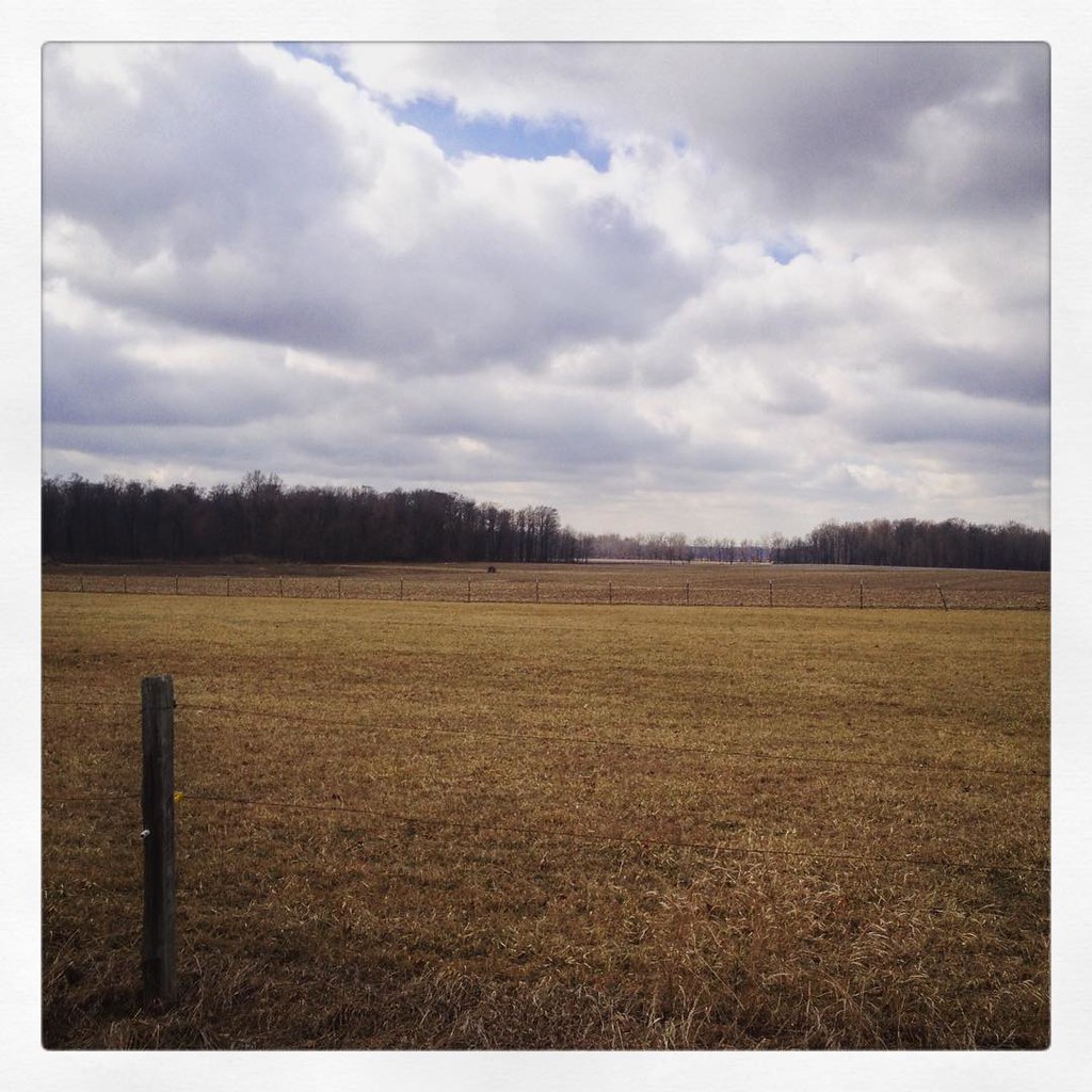
Indiana countryside #country #indiana #landscape

2011-02-03 18-55-53 - Version 2

Orange sky and glowing rails

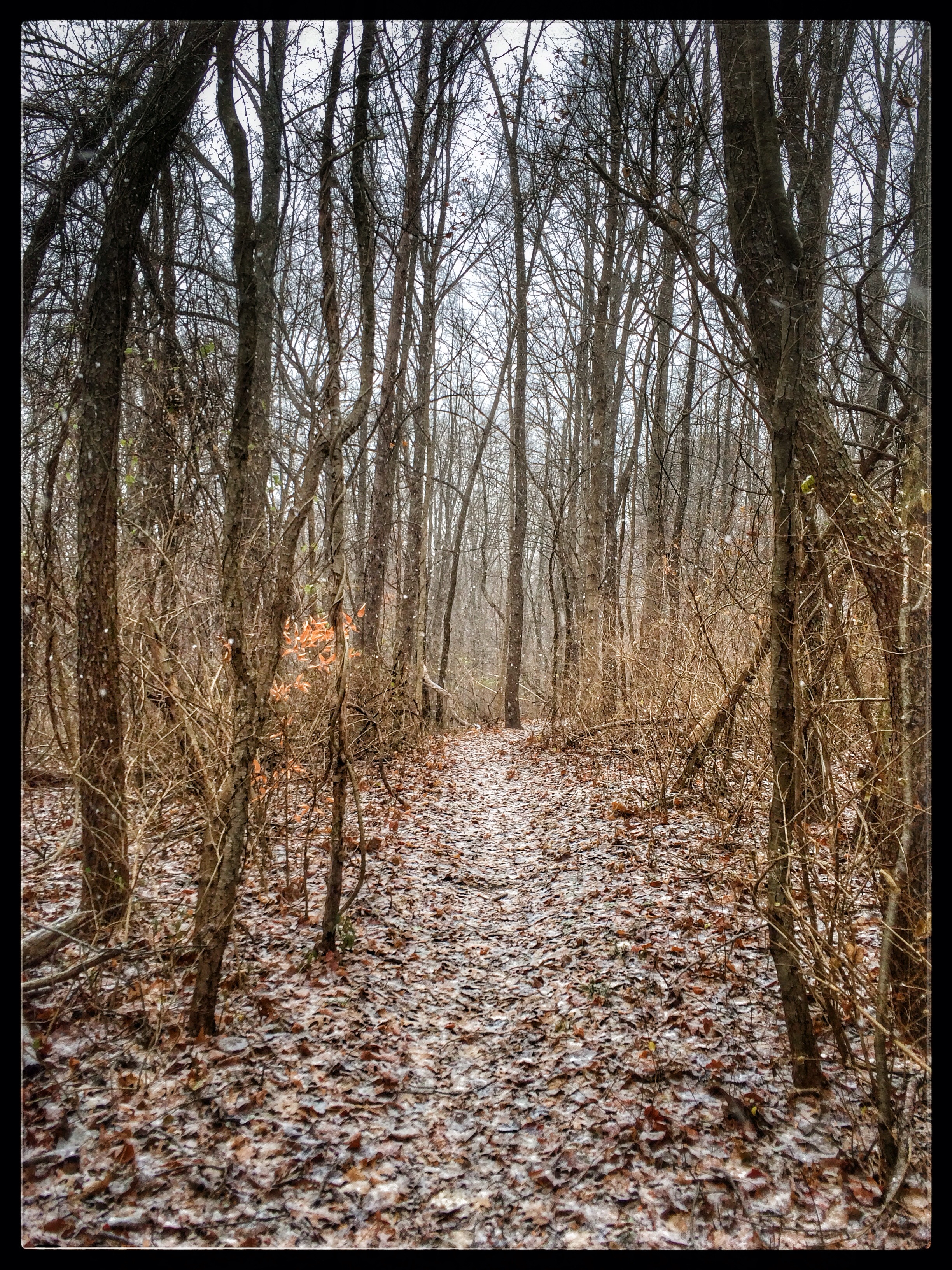
Lonely Forest

White Tiger
Rum Village

2011-02-03 18-59-51 - Version 2

Owl Prowl

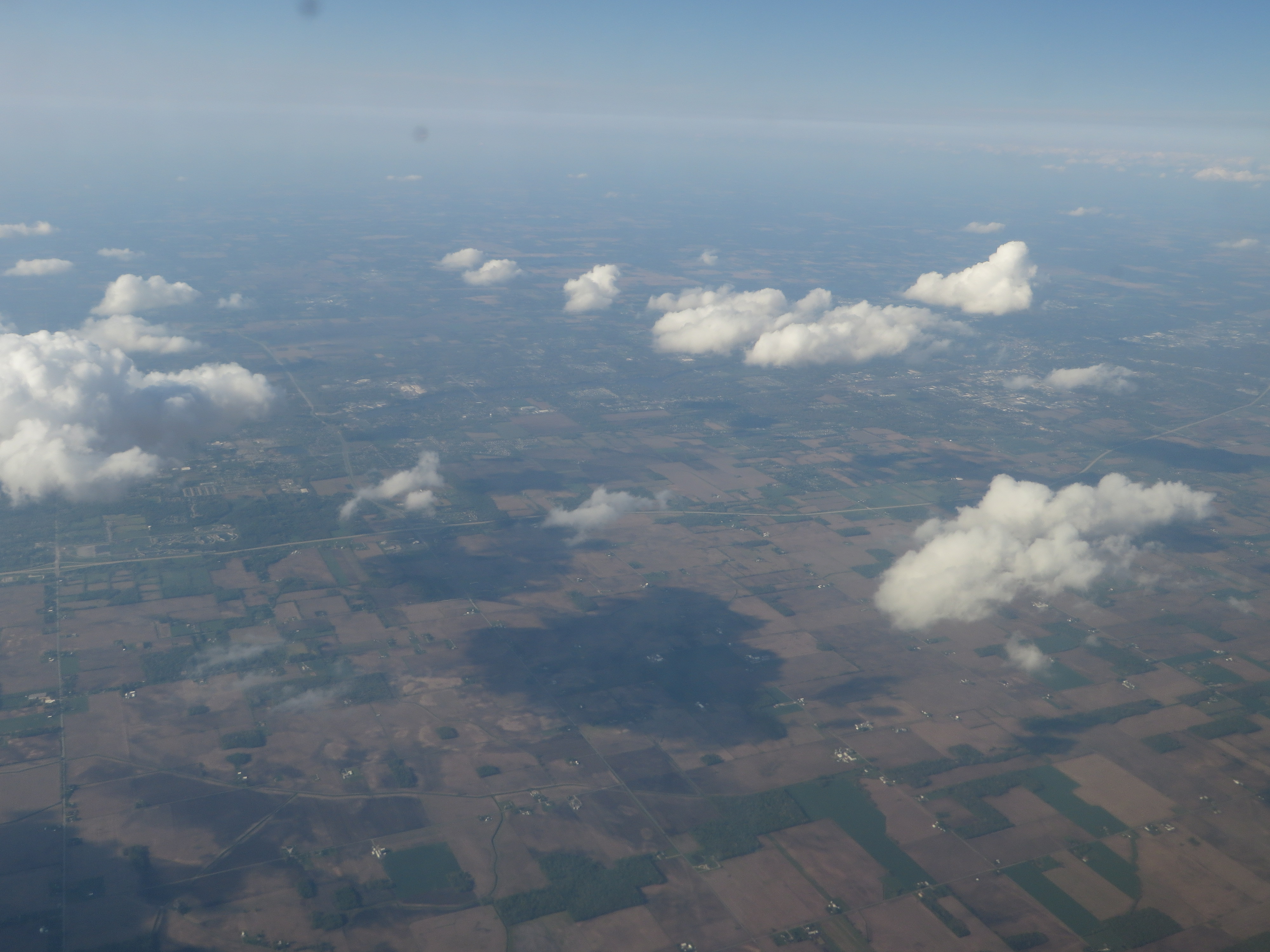
Midwestern Skies (still shot)

Glimpses of a Sunset

Flying Spaghetti Monster

morning at Rum Village

Springtime grass
Elkhart, Indiana

lake saga

Sunset HDR

lake saga

waters edge
Topographic Map of Union Township, IN, USA
Find elevation by address:

Places in Union Township, IN, USA:
Places near Union Township, IN, USA:
Lakeville
65455 Miami Rd
64816 Miami Rd
Roosevelt Rd, South Bend, IN, USA
Quinn Rd, Bremen, IN, USA
South Bend, IN, USA
Kern Road
Meadowlark Ln, South Bend, IN, USA
Centre Township
61330 Mayflower Rd
Greene Township
Gulivoire Park
61012 Mayflower Rd
Jewell Ave, South Bend, IN, USA
New Rd, South Bend, IN, USA
Wyatt
South Bend Bmv Branch
St. Joseph County
Liberty Township
148 Altgeld St
Recent Searches:
- Elevation of Corso Fratelli Cairoli, 35, Macerata MC, Italy
- Elevation of Tallevast Rd, Sarasota, FL, USA
- Elevation of 4th St E, Sonoma, CA, USA
- Elevation of Black Hollow Rd, Pennsdale, PA, USA
- Elevation of Oakland Ave, Williamsport, PA, USA
- Elevation of Pedrógão Grande, Portugal
- Elevation of Klee Dr, Martinsburg, WV, USA
- Elevation of Via Roma, Pieranica CR, Italy
- Elevation of Tavkvetili Mountain, Georgia
- Elevation of Hartfords Bluff Cir, Mt Pleasant, SC, USA