Elevation of Puntarenas Province, Corredor District, Costa Rica
Location: Costa Rica > Puntarenas >
Longitude: -82.943618
Latitude: 8.648997
Elevation: 54m / 177feet
Barometric Pressure: 101KPa
Elevation Map:
Satellite Map:
Related Photos:

Slate-throated Redstart

The Orchid & Spider Wasp - 1

Crested Oropendola Nest

Catarata El Salto

Pygmy Robber Frog

Crested Oropendola

Sunlight on Forest Stream Pool

Green Landscape
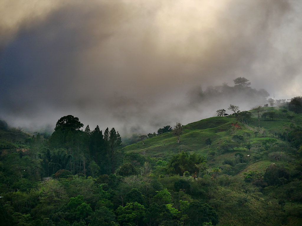
Storm clouds rolling over the western ridge

Loading Palm oil fruit - Cargando fruta de Palma Africana; Puntarenas, Costa Rica

Volcan Baru highest mountain in Panama

Large Spikemoss

Probably an Orange-Bellied Skimmer

Tarde de U!! #uacasedepacifico #ingcivil #tardesdelau #puravida

Apenas llegue #atardecer

pre-border lunch stop for calm
Topographic Map of Puntarenas Province, Corredor District, Costa Rica
Find elevation by address:

Places near Puntarenas Province, Corredor District, Costa Rica:
Agua Buena
Las Cruces
Plaza de Caisán, Panama
Plaza De Caisan
Renacimiento District
San Ramón
Bugaba
Volcán
San Vicente
Cuesta De Piedra
Plaza De Volcán
La Concepcion
El Bongo
Bugaba District
Casa Grande Bambito Resort
Paso Ancho
Cerro Punta
Volcán Barú
Volcán Barú
Dolega
Recent Searches:
- Elevation of Corso Fratelli Cairoli, 35, Macerata MC, Italy
- Elevation of Tallevast Rd, Sarasota, FL, USA
- Elevation of 4th St E, Sonoma, CA, USA
- Elevation of Black Hollow Rd, Pennsdale, PA, USA
- Elevation of Oakland Ave, Williamsport, PA, USA
- Elevation of Pedrógão Grande, Portugal
- Elevation of Klee Dr, Martinsburg, WV, USA
- Elevation of Via Roma, Pieranica CR, Italy
- Elevation of Tavkvetili Mountain, Georgia
- Elevation of Hartfords Bluff Cir, Mt Pleasant, SC, USA