Elevation of Bugaba, Panama
Location: Panama > Chiriqui >
Longitude: -82.691542
Latitude: 8.6344303
Elevation: 501m / 1644feet
Barometric Pressure: 95KPa
Elevation Map:
Satellite Map:
Related Photos:

Chiriquí Trip
David region, Panama

Sunset over Volcan
David region, Panama
Jansen coffee farm, Volcan, Panama
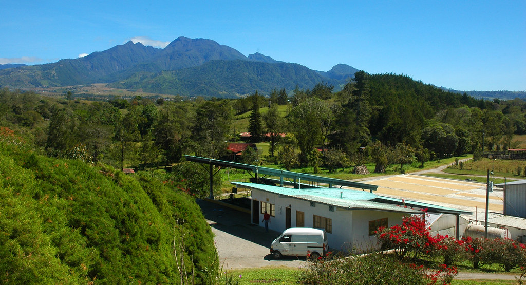
Jansen coffee farm, Volcan, Panama
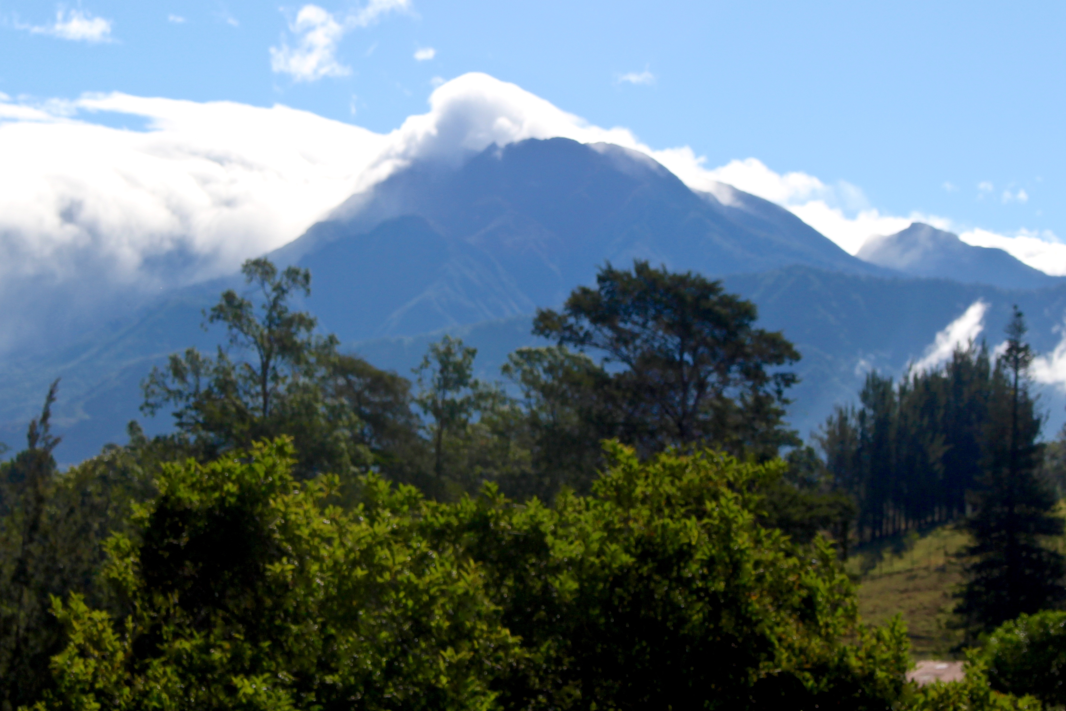
A blurry photo of Volcan Baru
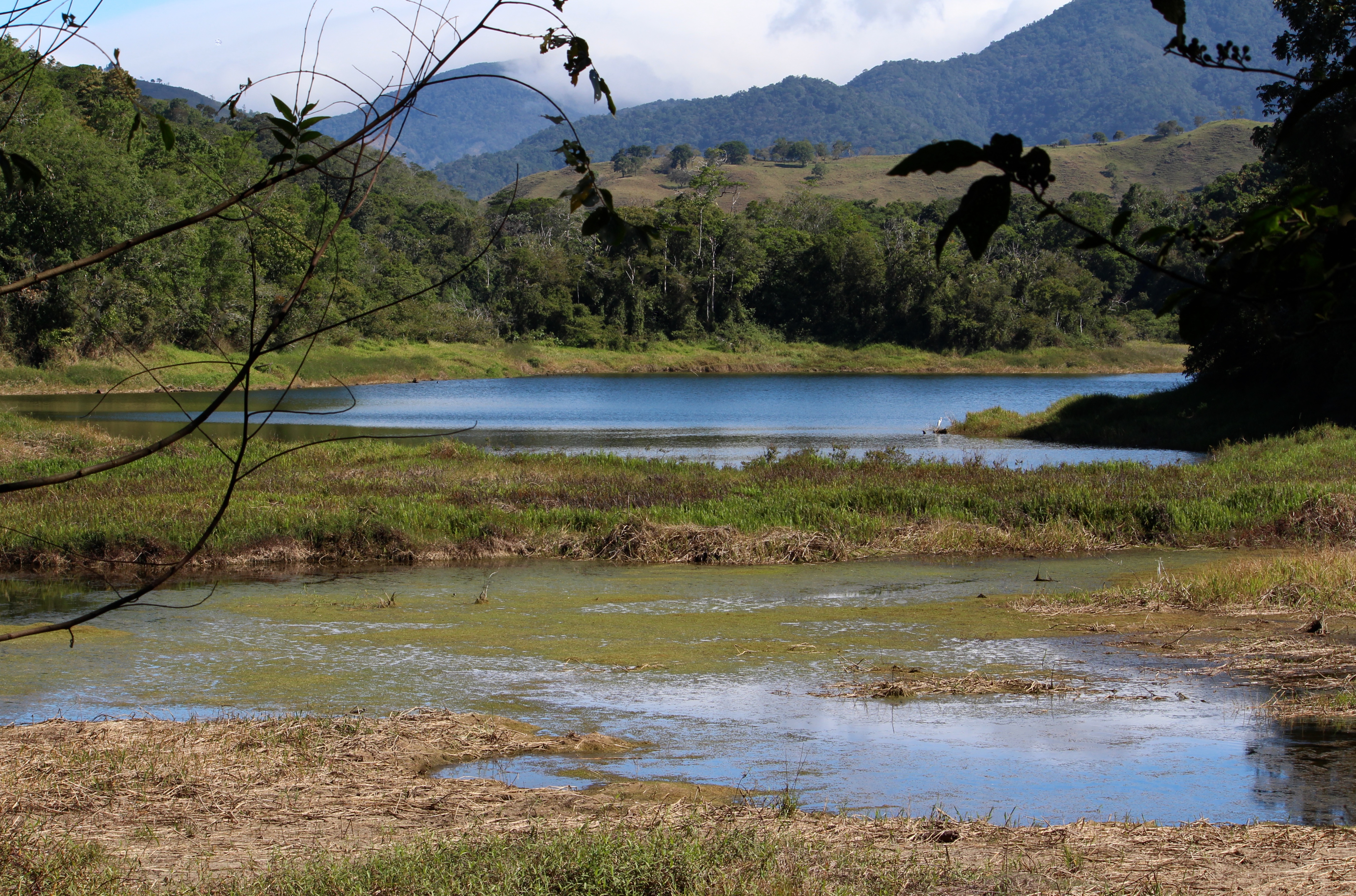
Lower Lake

Upper Lake

Cuevas de Porton, Chiriquí, Panamá.
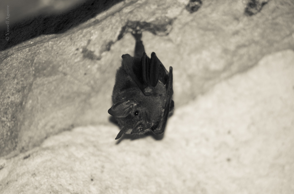
Cuevas de Porton, Chiriquí, Panamá.
Cuevas de Porton, Chiriquí, Panamá.

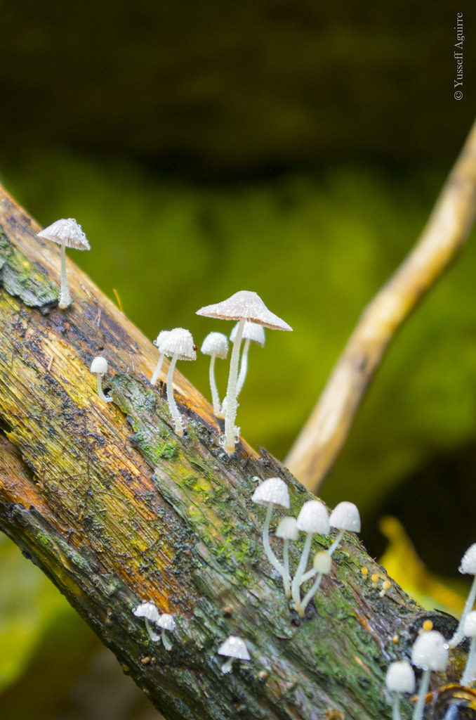
Mountain dew

Bidens (with bee)

2015-10-29_05-19-54

Sign for Las Lagunas de Volcan protected area
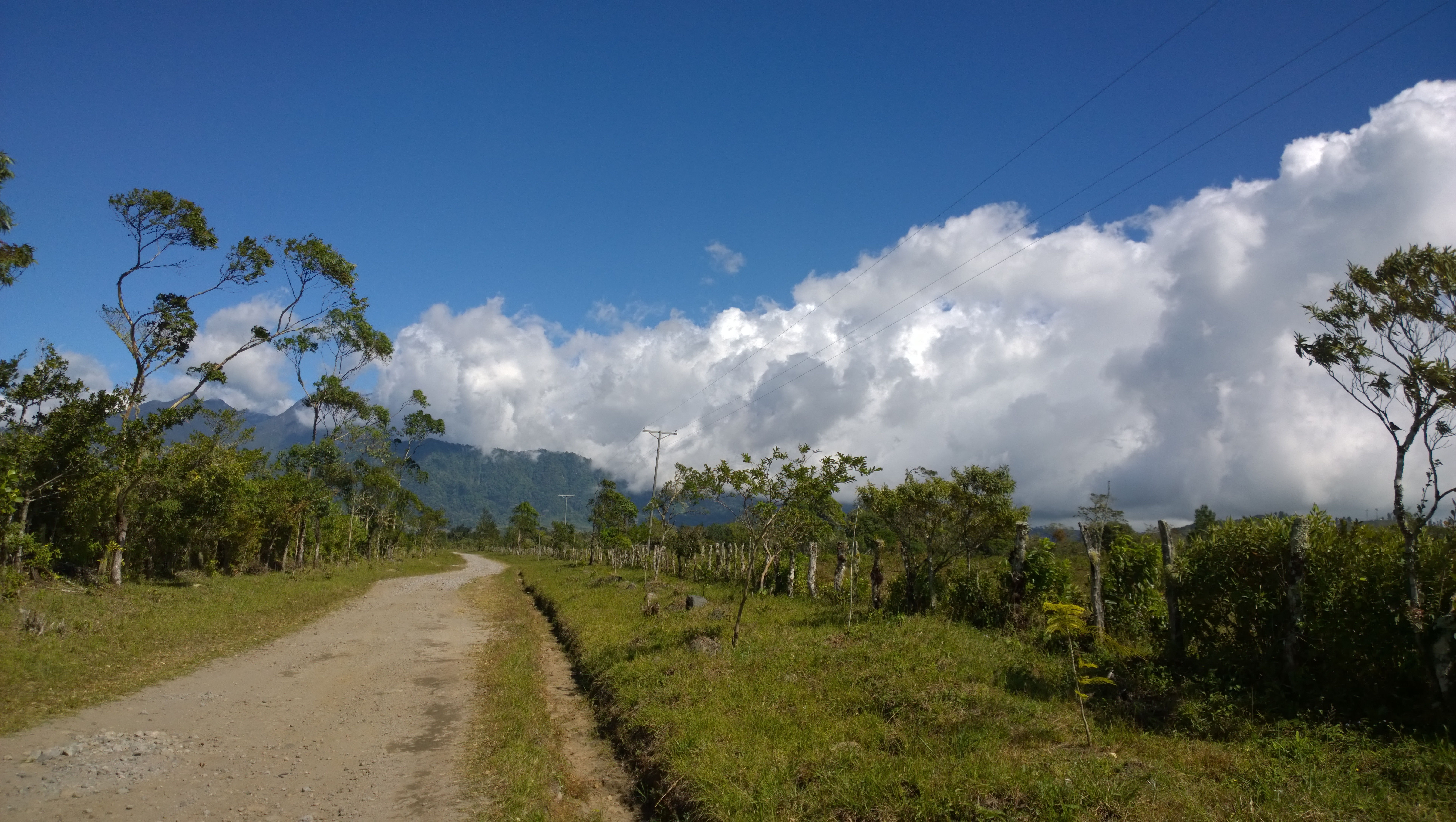
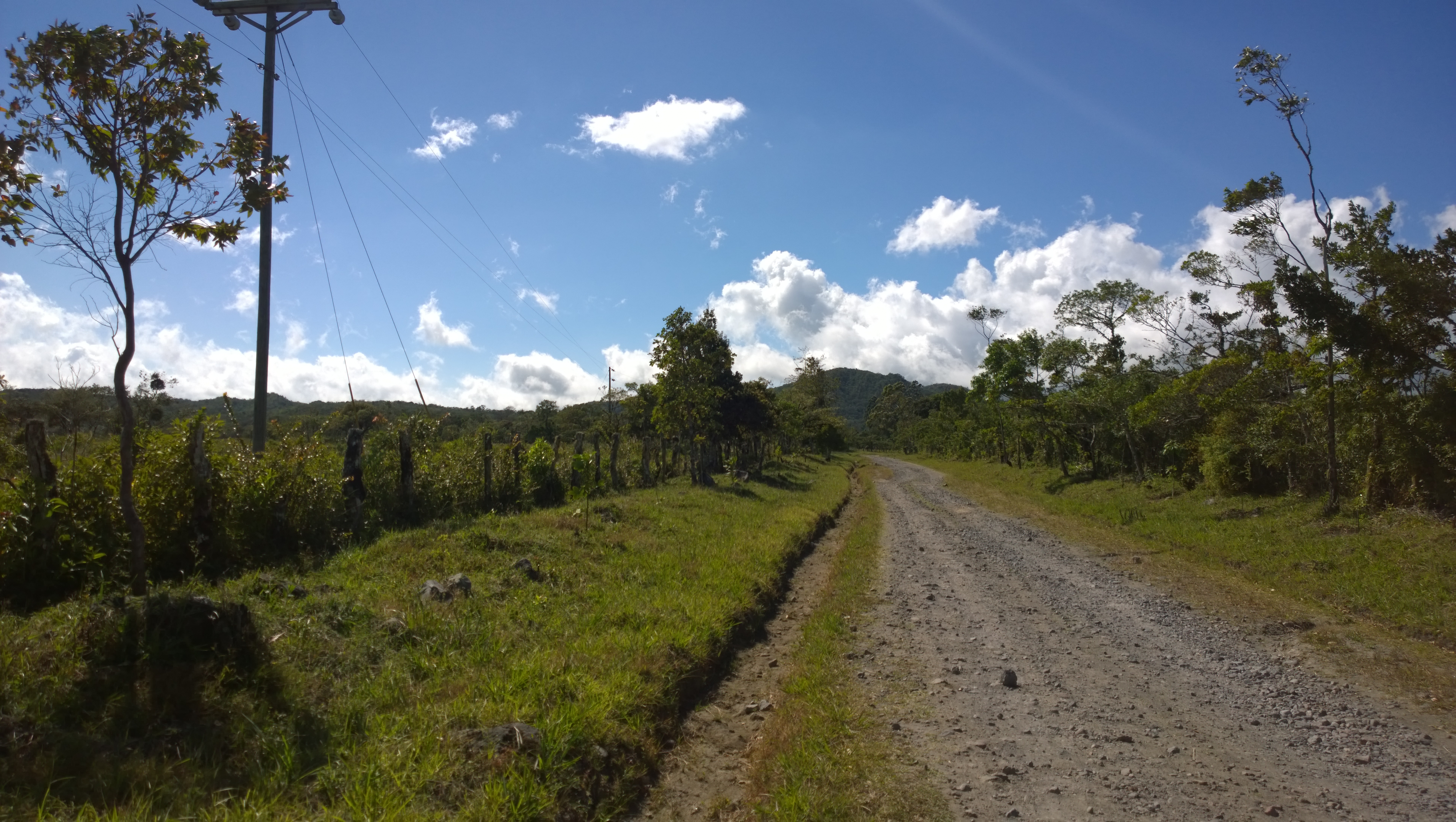
Jeep road to Las Lagunas de Volcan protected area

Cream-spotted Tigerwing on Turks Cap Hibiscus

Walking Iris, naturalized (wild in Brazil)
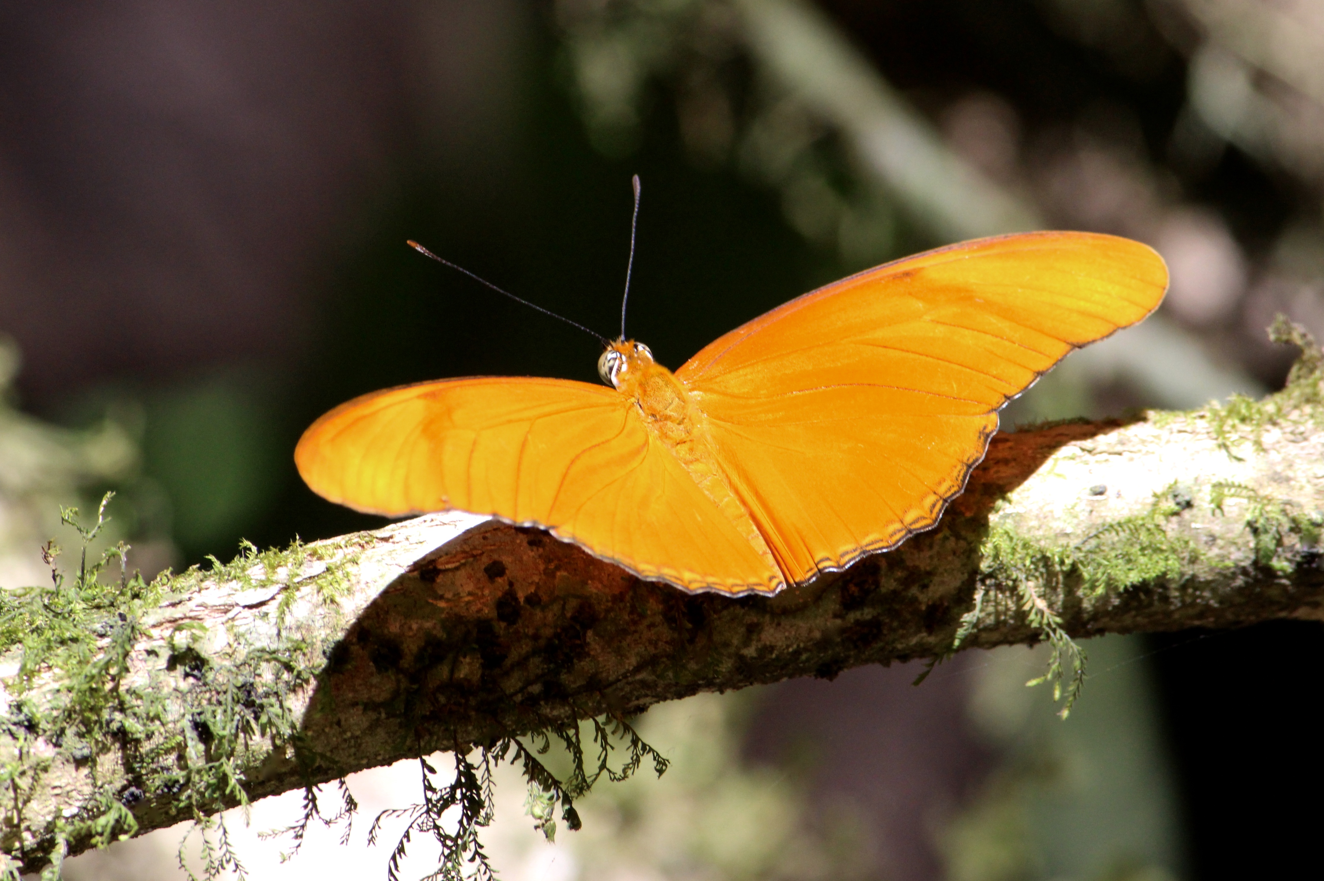
Julia Butterfly

Julia Butterfly

"This is a magical place. Take care of it."

Southern Lapwing

Southern Lapwing
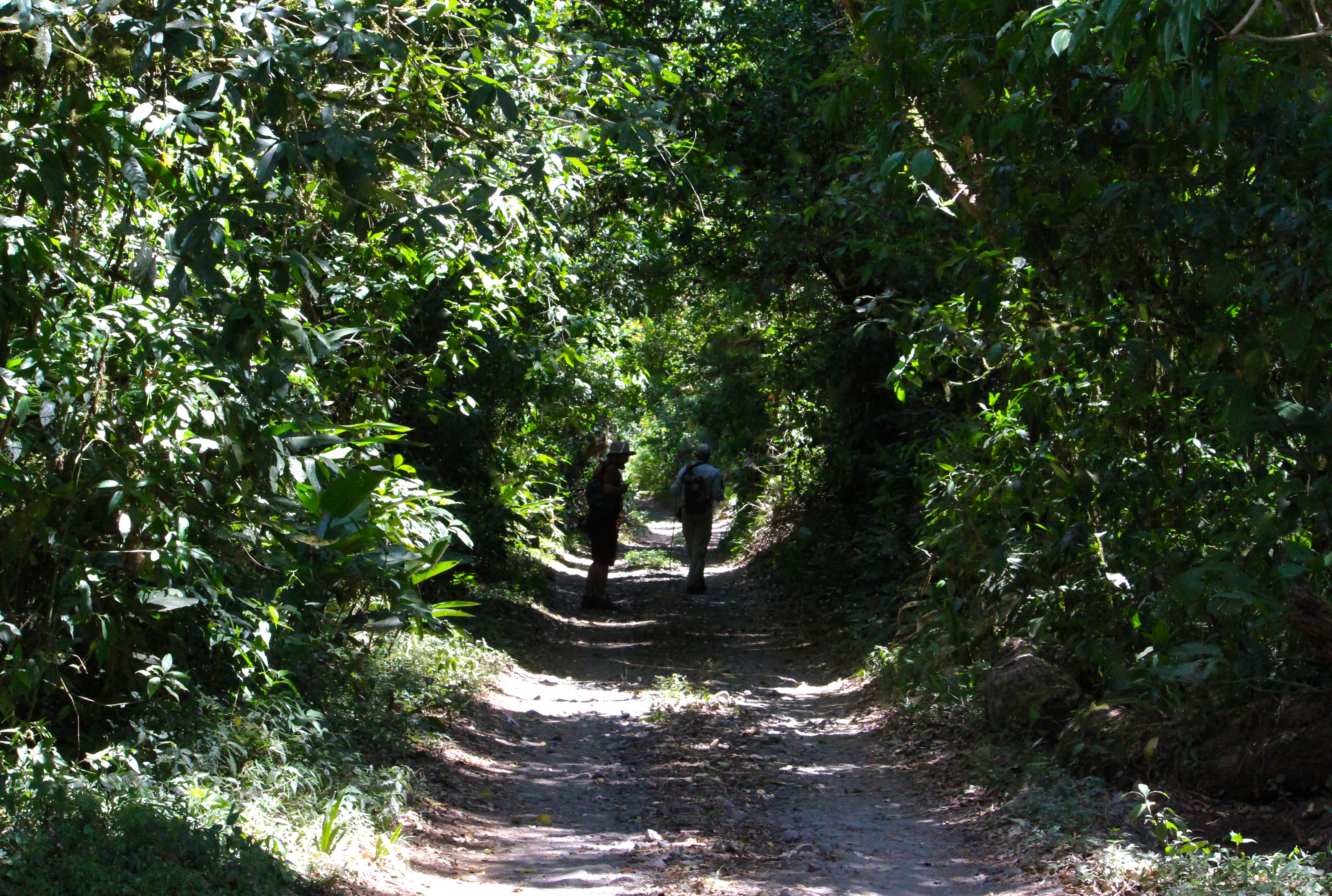
Tropical forest
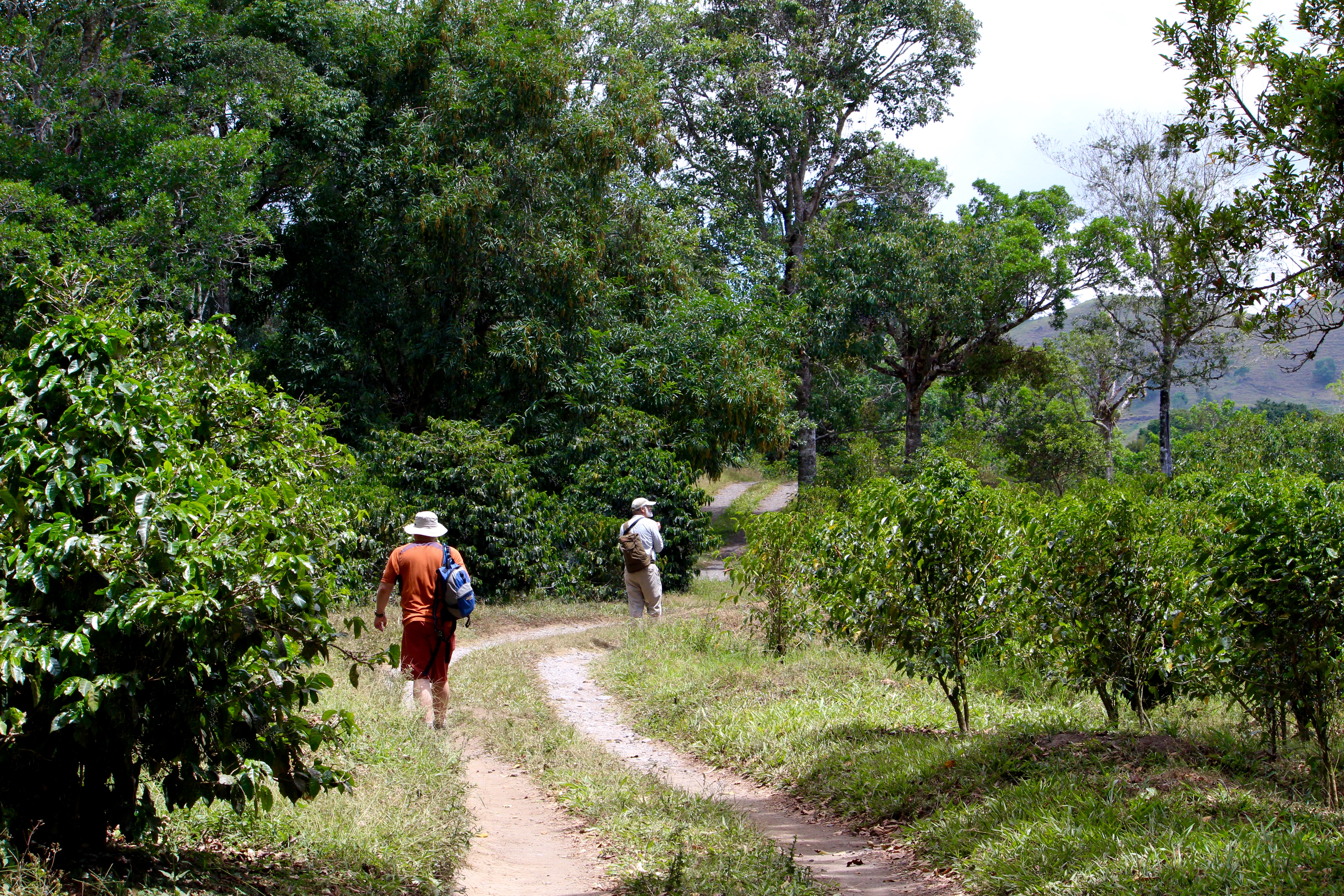
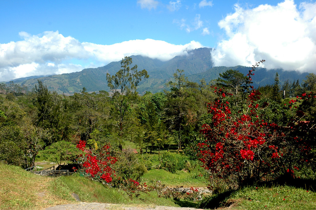
Hiking through the Jansen Coffee Farm near Volcan

Paper Wasp nest
Topographic Map of Bugaba, Panama
Find elevation by address:

Places in Bugaba, Panama:
Places near Bugaba, Panama:
San Vicente
Cuesta De Piedra
El Bongo
Volcán
La Concepcion
Plaza De Volcán
Renacimiento District
Plaza de Caisán, Panama
Plaza De Caisan
Bugaba District
Dolega
Paso Ancho
Casa Grande Bambito Resort
Potrerillos Arriba
Potrerillos Abajo
Volcán Barú
Volcán Barú
Hacienda Los Molinos Boutique Hotel
Los Molinos
Tinajas, Chiriquí
Recent Searches:
- Elevation of Corso Fratelli Cairoli, 35, Macerata MC, Italy
- Elevation of Tallevast Rd, Sarasota, FL, USA
- Elevation of 4th St E, Sonoma, CA, USA
- Elevation of Black Hollow Rd, Pennsdale, PA, USA
- Elevation of Oakland Ave, Williamsport, PA, USA
- Elevation of Pedrógão Grande, Portugal
- Elevation of Klee Dr, Martinsburg, WV, USA
- Elevation of Via Roma, Pieranica CR, Italy
- Elevation of Tavkvetili Mountain, Georgia
- Elevation of Hartfords Bluff Cir, Mt Pleasant, SC, USA