Elevation of Paso Ancho, Panama
Location: Panama > Chiriqui > Bugaba >
Longitude: -82.594307
Latitude: 8.8184271
Elevation: 2129m / 6985feet
Barometric Pressure: 78KPa
Elevation Map:
Satellite Map:
Related Photos:

Wrenthrush 0J5A4635.jpg

Hiking through Finca Lerida and the cloud forest

Views from the peak of Vulcan Baru

Views from the peak of Vulcan Baru

Views from the peak of Vulcan Baru
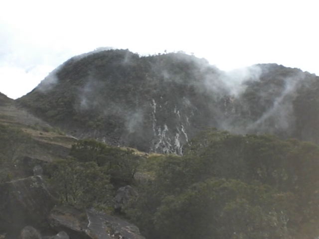
Views from the peak of Vulcan Baru

Views from the peak of Vulcan Baru

Views from the peak of Vulcan Baru
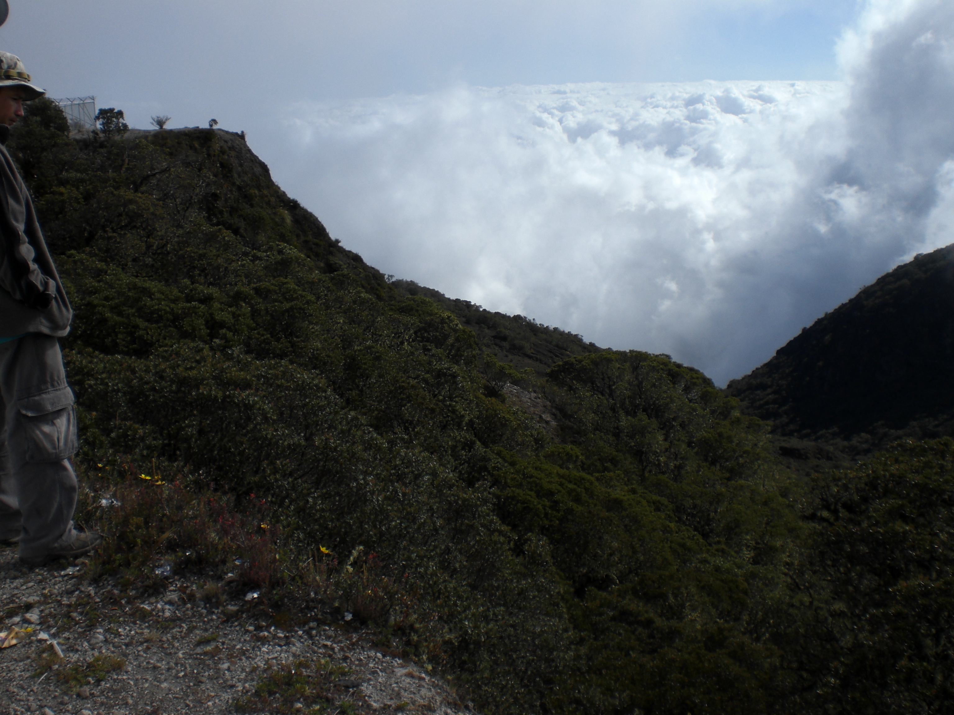
Views from the peak of Vulcan Baru

Views from the peak of Vulcan Baru

Views from the peak of Vulcan Baru

Views from the peak of Vulcan Baru

Views from the peak of Vulcan Baru

Views from the peak of Vulcan Baru

View from Baru

Boquete-0701

Boquete-0689

Views from the peak of Vulcan Baru

Hiking through Finca Lerida and the cloud forest

Atop Volcán Barú

Atop Volcán Barú

Mount Totumas, Panama

Río Caldera near Boquete, Chiriquí, Panama

Jungle 3

Entrada al Parque Nacional Volcán Barú (Sendero de los Quetzales), Chiriquí, Panamá

Entrada al Parque Nacional Volcán Barú (Sendero de los Quetzales); Cerro Punta, Chiriquí, Panamá

Agricultural fields and forest behind - Campos agriculas con el bosque atrás; Guadalupe, Cerro Punta, Chiriquí, Panamá

Sendero del Retoño; Parque Internacional La Amistad, Chiriquí, Panamá

Bamboo - Bambú; Parque Internacional La Amistad, Chiriquí, Panamá

Forest stream; Parque Internacional La Amistad, Chiriquí, Panamá

Mujer trabajando en el campo - Woman working in the fields; Guadalupe, Cerro Punta, Chiriquí, Panamá

Llevando comida al marido - Mother and daughter (and baby in the net on her head) - off to take food to her husband; Guadalupe, Cerro Punta, Chiriquí, Panamá

Río - Forest stream; Parque Internacional La Amistad, Cerro Punta, Chiriquí, Panamá

Bamboo strand - Bambú; Parque Internacional La Amistad, Cerro Punta, Chiriquí, Panamá

Parque Internacional La Amistad, Sendero El Retoño; Chiriquí, Panamá

Mujer con sus hijos - Woman with her children; Guadalupe, Cerro Punta, Chiriquí, Panamá

Leaf veins against the light - Venas de las hojas al traspaso de la luz; Parque Internacional La Amistad, Chiriquí, Panamá

Horizontal vines - Vides horizontales; Parque Internacional La Amistad, Cerro Punta, Chiriquí, Panamá

Mujer trabajando en el campo - Woman working in the fields; Guadalupe, Cerro Punta, Chiriquí, Panamá

Casa cerca del Parque Nacional Volcán Barú (Sendero de los Quetzales), Chiriquí, Panamá

At work - En el trabajo; Guadalupe, Cerro Punta, Chiriquí, Panamá
Topographic Map of Paso Ancho, Panama
Find elevation by address:

Places near Paso Ancho, Panama:
Casa Grande Bambito Resort
Volcán Barú
Volcán Barú
Cerro Punta
Plaza De Volcán
Volcán
The Lost Waterfalls
Los Naranjos
Cuesta De Piedra
Boquete
Potrerillos Arriba
Dolega
Valle Escondido Resort Golf & Spa
Club Campestre Santa Lucia
Panamonte Inn & Spa
Cabañas Brisas Alto Boquete
Jaramillo Arriba
El Explorador
Cowboy Dave's
Boquete
Recent Searches:
- Elevation of Corso Fratelli Cairoli, 35, Macerata MC, Italy
- Elevation of Tallevast Rd, Sarasota, FL, USA
- Elevation of 4th St E, Sonoma, CA, USA
- Elevation of Black Hollow Rd, Pennsdale, PA, USA
- Elevation of Oakland Ave, Williamsport, PA, USA
- Elevation of Pedrógão Grande, Portugal
- Elevation of Klee Dr, Martinsburg, WV, USA
- Elevation of Via Roma, Pieranica CR, Italy
- Elevation of Tavkvetili Mountain, Georgia
- Elevation of Hartfords Bluff Cir, Mt Pleasant, SC, USA