Elevation of Provincia de Puntarenas, Agua Buena, Costa Rica
Location: Costa Rica > Puntarenas >
Longitude: -82.947467
Latitude: 8.7403663
Elevation: 1065m / 3494feet
Barometric Pressure: 89KPa
Elevation Map:
Satellite Map:
Related Photos:

Crested Oropendola

Slate-throated Redstart
Catarata El Salto

Pygmy Robber Frog
Crested Oropendola Nest
Loading Palm oil fruit - Cargando fruta de Palma Africana; Puntarenas, Costa Rica
Sunlight on Forest Stream Pool

Green Landscape

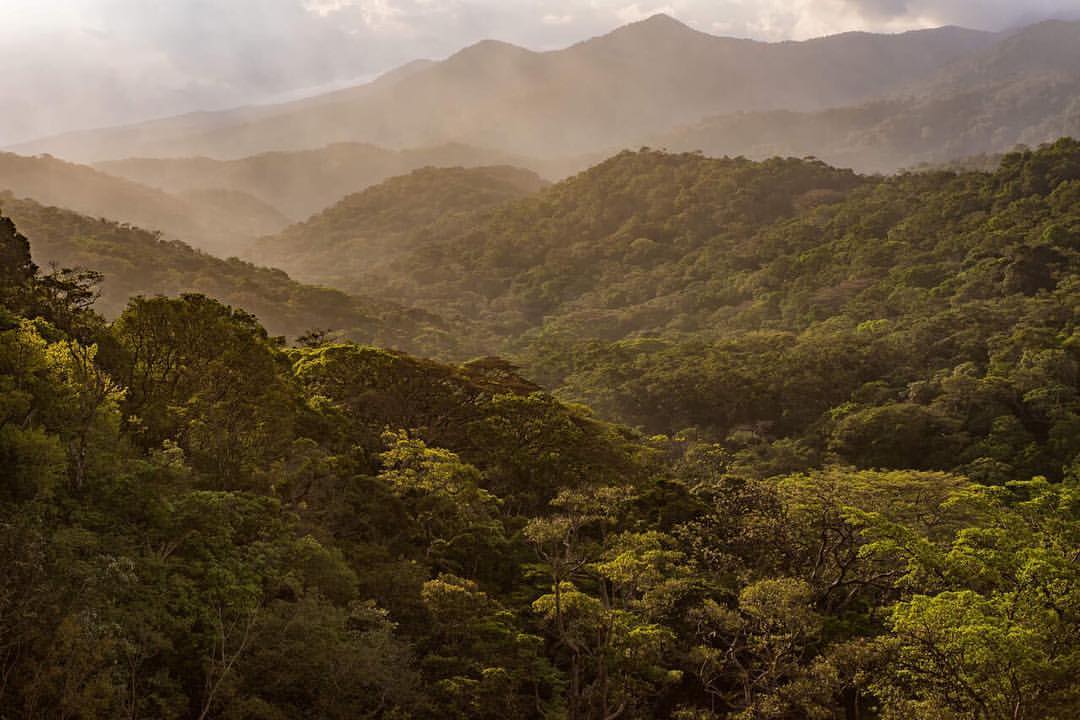
Costa Rica Highlands
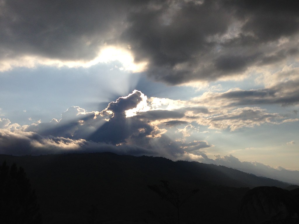
#Montañas de San Vito #Mountains in San Vito #nikonuser #nikontop @nikontop #costarica #thisiscostarica #sunset #trees #nature #viewbugfeature #500px #sanvito

Probably an Orange-Bellied Skimmer
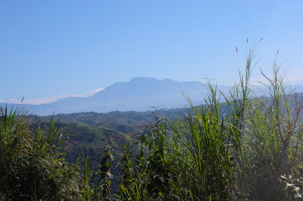
Volcan Baru highest mountain in Panama
Costa R 2015 203
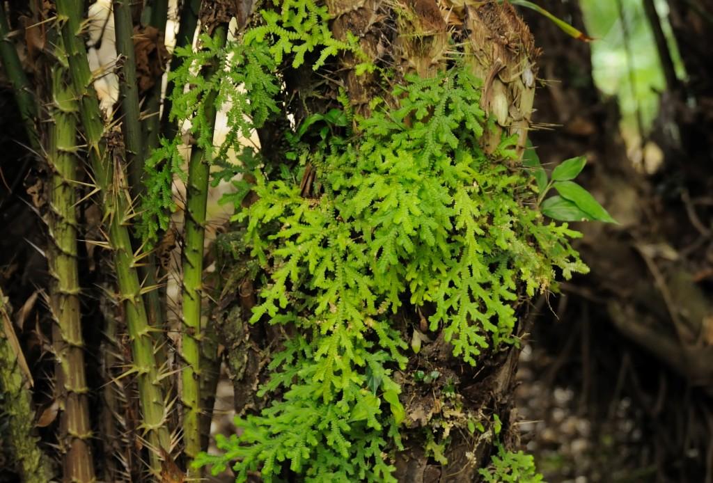
Large Spikemoss
Topographic Map of Provincia de Puntarenas, Agua Buena, Costa Rica
Find elevation by address:

Places near Provincia de Puntarenas, Agua Buena, Costa Rica:
Las Cruces
Corredor District
San Ramón
Plaza De Caisan
Plaza de Caisán, Panama
Renacimiento District
Bugaba
Volcán
Plaza De Volcán
Cuesta De Piedra
San Vicente
Casa Grande Bambito Resort
Paso Ancho
El Bongo
La Concepcion
Cerro Punta
Volcán Barú
Volcán Barú
Bugaba District
Dolega
Recent Searches:
- Elevation of Corso Fratelli Cairoli, 35, Macerata MC, Italy
- Elevation of Tallevast Rd, Sarasota, FL, USA
- Elevation of 4th St E, Sonoma, CA, USA
- Elevation of Black Hollow Rd, Pennsdale, PA, USA
- Elevation of Oakland Ave, Williamsport, PA, USA
- Elevation of Pedrógão Grande, Portugal
- Elevation of Klee Dr, Martinsburg, WV, USA
- Elevation of Via Roma, Pieranica CR, Italy
- Elevation of Tavkvetili Mountain, Georgia
- Elevation of Hartfords Bluff Cir, Mt Pleasant, SC, USA