Elevation of Potomac Dr, King George, VA, USA
Location: United States > Virginia > King George County > Dahlgren > Dahlgren >

Longitude: -77.051299

Latitude: 38.3316341

Elevation: 6m / 20feet

Barometric Pressure: 101KPa

Elevation Map:

elevation map of Potomac Dr, King George, VA, USA

Satellite Map:

Satellite map of Potomac Dr, King George, VA, USA

Related Photos:

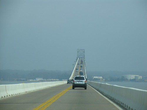
2005 fog virginia bridges maryland rivers 500views potomacriver 1000views us301
US 301 Bridge over the Potomac
beach river virginia potomac colonialbeach
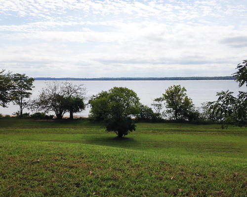
Beach Views - Colonial Beach
beach river virginia potomac colonialbeach
Beach Views - Colonial Beach
square squareformat iphoneography instagramapp uploaded:by=instagram foursquare:venue=4f91b94de4b0ee4cb2a4ab5d
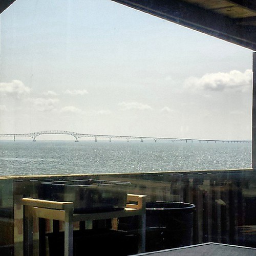
Bridge view
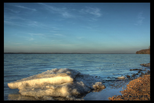
blue winter white cold ice beach water virginia kinggeorgecounty caledonstatepark
Ice on the Potomac
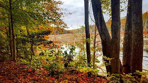
autumnal view
river view maryland southern gravestones charlescounty porttobacco chapelpoint
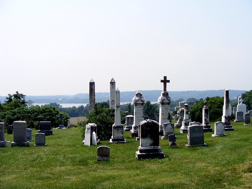
View from St. Ignatius
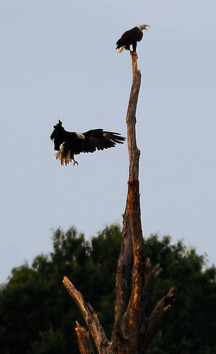
tree geotagged dead virginia natural eagle bald area eagles caledon 80400mmf4556dvr geo:lat=38352914 geo:lon=77143255 dwoodphotography dwoodphotographycom
...the eagle is landing...
church graveyard catholic scenic jesuit charlescounty southernmaryland chapelpoint
St. Ignatius Catholic Church
nature birds wildlife raptor chicks osprey birdsofprey pandionhaliaetus
Osprey Nest 1
us301bridgemdtova
US301 bridge, Md to Va
trees tree river landscape md waterfront maryland rivers potomacriver indianhead100 indianheadcentury
Indian Head 100 Potomac View
kinggeorgecountyvirginia singlefamilyhomessubdivision kingshighwayroute3 kinggeorgevirginia22485 williowhillsubdivision westbrookehomes homesneardahlgren
Willow Hill, King George, Virginia
square squareformat iphoneography instagramapp uploaded:by=instagram foursquare:venue=4bddec3af5eab713cc132ef8
Great view for eating my final crabs of the season ~le sigh~
grave geotagged headstone tombstone maryland gravestone stignatius gravemarker geo:lat=38465567 geo:lon=77024422
A plot with a view
photooftheday picoftheday uploaded:by=flickstagram adventurethatislife instagram:photo=113307514686506579538433534 instagram:venuename=caledonnaturalarea instagram:venue=5970119 seekthetrails
That nature pic of the day...
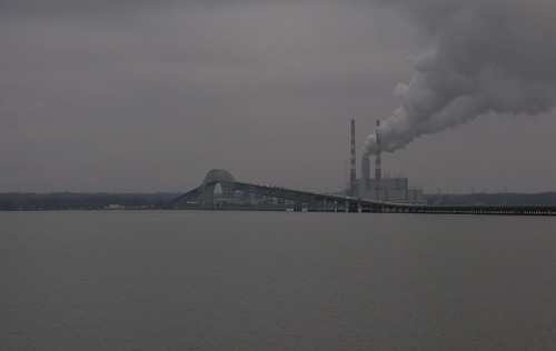
longexposure bridge sunset plant color river power potomac powerplant mikelennett
Harry Nice Bridge and Power plant
night sunrise lowlight nikon meetup explore feb 2015 nightandlowlight fastapp69d5300
Dey Broke, Can Ya Fixum
maryland charlescounty southernmaryland usroute301
Tidal Potomac River shoreline, Faulkner, MD
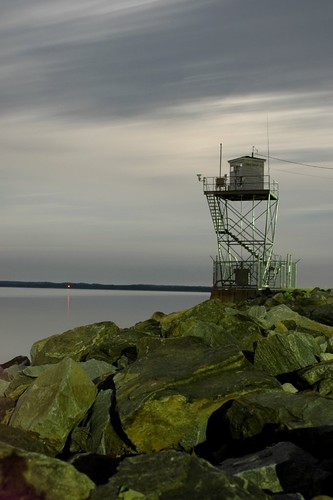
navy tower full moon
running blurriness uploaded:by=flickstagram instagram:photo=110521263031525351638433534 instagram:venuename=caledonnaturalarea instagram:venue=5970119
Trying to take pictures while #running...
Hermit Thrush
Autumn in Virginia
Summer Morning
square lofi squareformat iphoneography instagramapp uploaded:by=instagram foursquare:venue=4c41fb6de26920a115515fe7
Just before the fireworks...
Swamp Sparrow
night sunrise lowlight nikon meetup feb nightandlowlight d5300 2015fastapp69d5300
Maryland's All Aglow!
maryland swanpoint
Swan Point
night sunrise lowlight nikon meetup feb nightandlowlight d5300 2015fastapp69d5300
No Hiding, It's Coming
night d70 moonlight
navy tower full moon
square squareformat rise iphoneography instagramapp uploaded:by=instagram foursquare:venue=4bfecaceac039521f0dea880
Not a particularly strenuous hike.
morning dawn pier calm potomacriver civiltwilight colonialbeach skysunrise
Colonial Beach Pier
us301bridgemdtova
US301 bridge, Md to Va
square squareformat iphoneography instagramapp uploaded:by=instagram foursquare:venue=4e9aee454fc602a58b0903b1
#sunset
Sunset Mattox Creek
river landscape virginia us unitedstates fineart potomacriver kinggeorge
River Art