Elevation of James Monroe, VA, USA
Location: United States > Virginia > King George County >
Longitude: -77.160020
Latitude: 38.3319195
Elevation: 53m / 174feet
Barometric Pressure: 101KPa
Elevation Map:
Satellite Map:
Related Photos:
Absolutely #beautiful 21.55 mile run this...
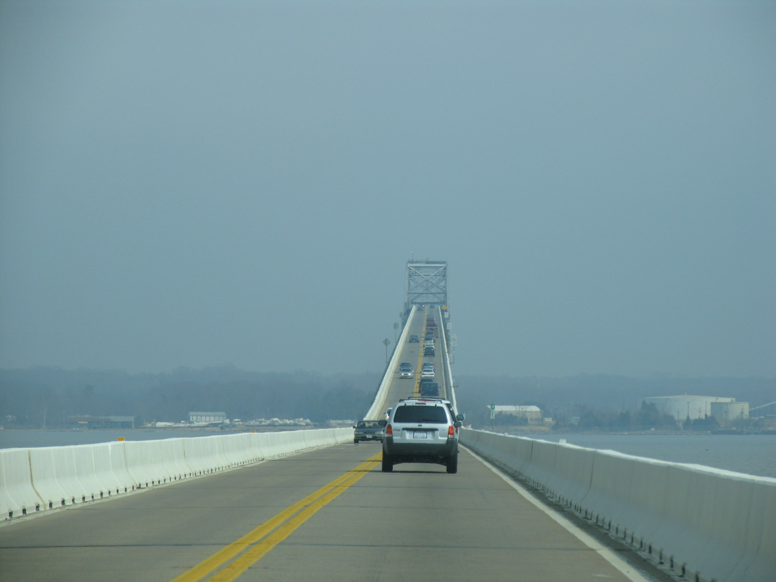
US 301 Bridge over the Potomac
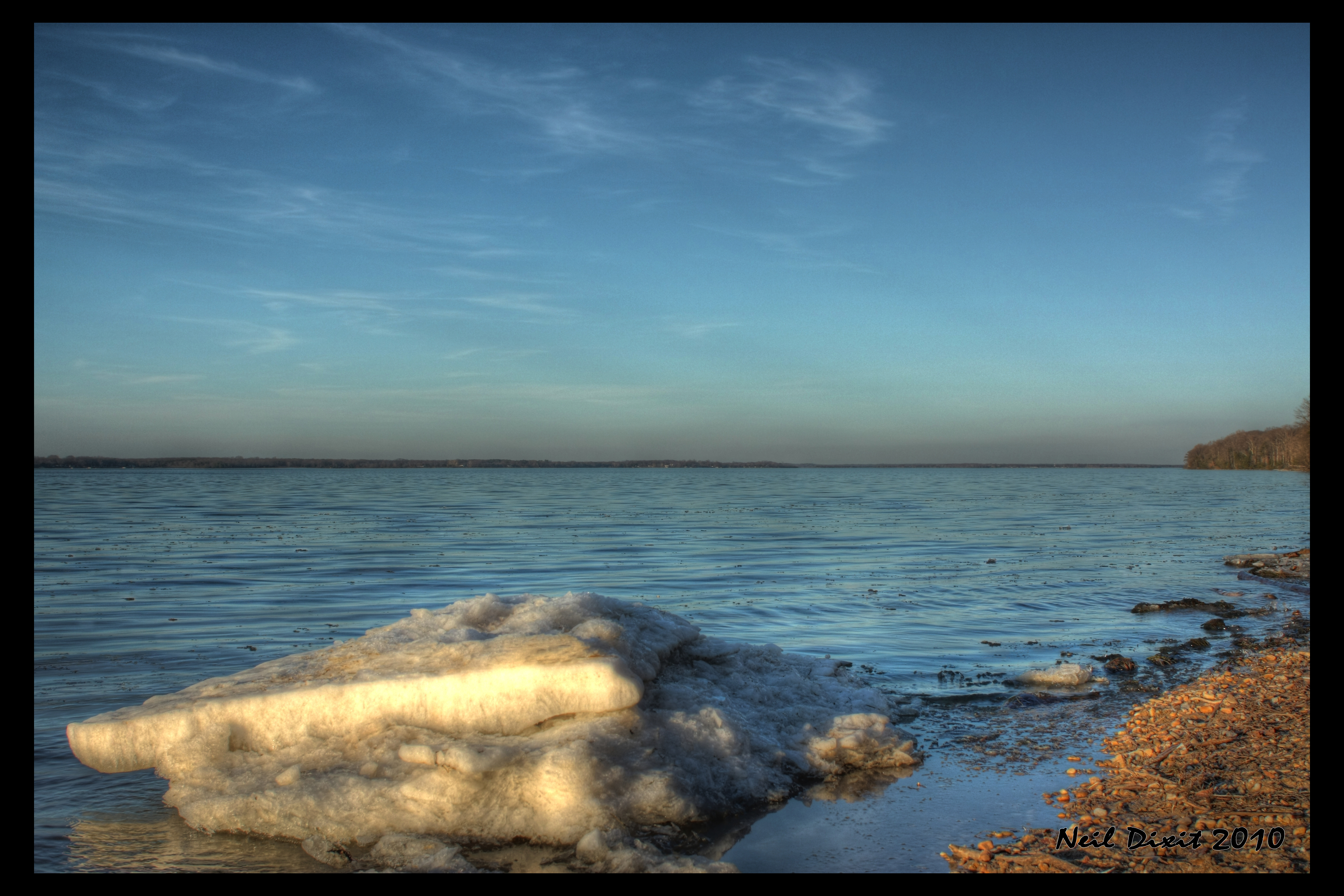
Ice on the Potomac

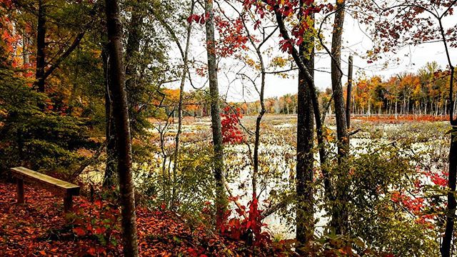
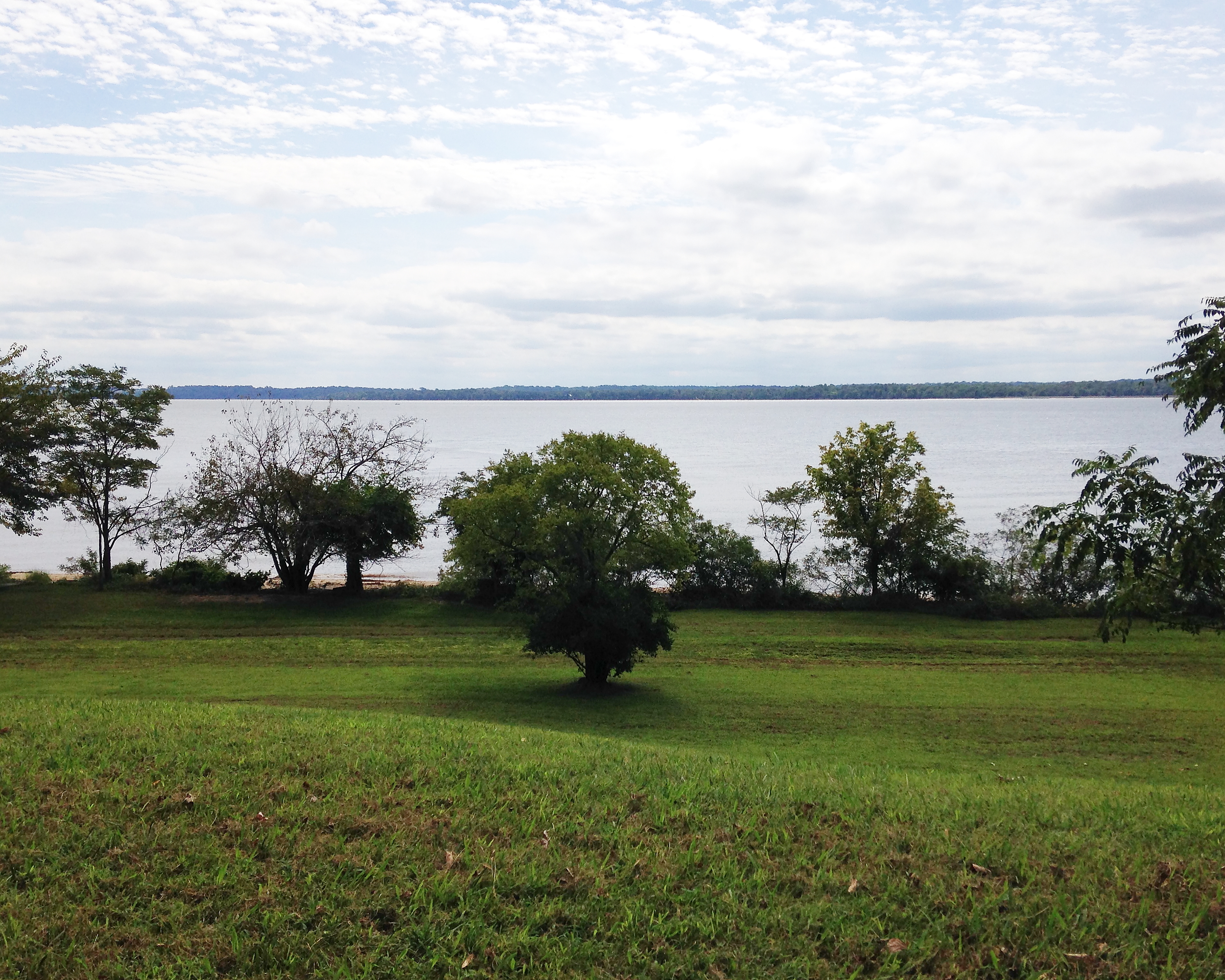
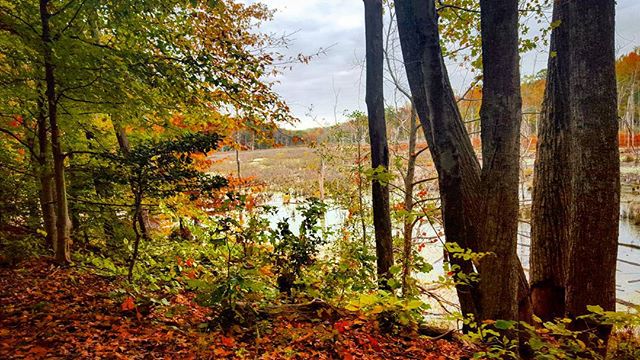
autumnal view

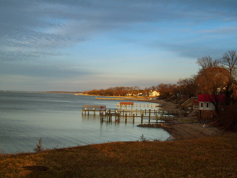
Sunset Over The Potomac at Fairview Beach
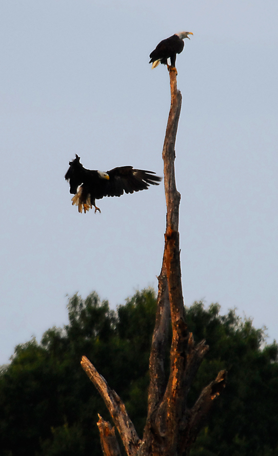
...the eagle is landing...

US301 bridge, Md to Va
Indian Head 100 Potomac View
George I's View 291 Years Later
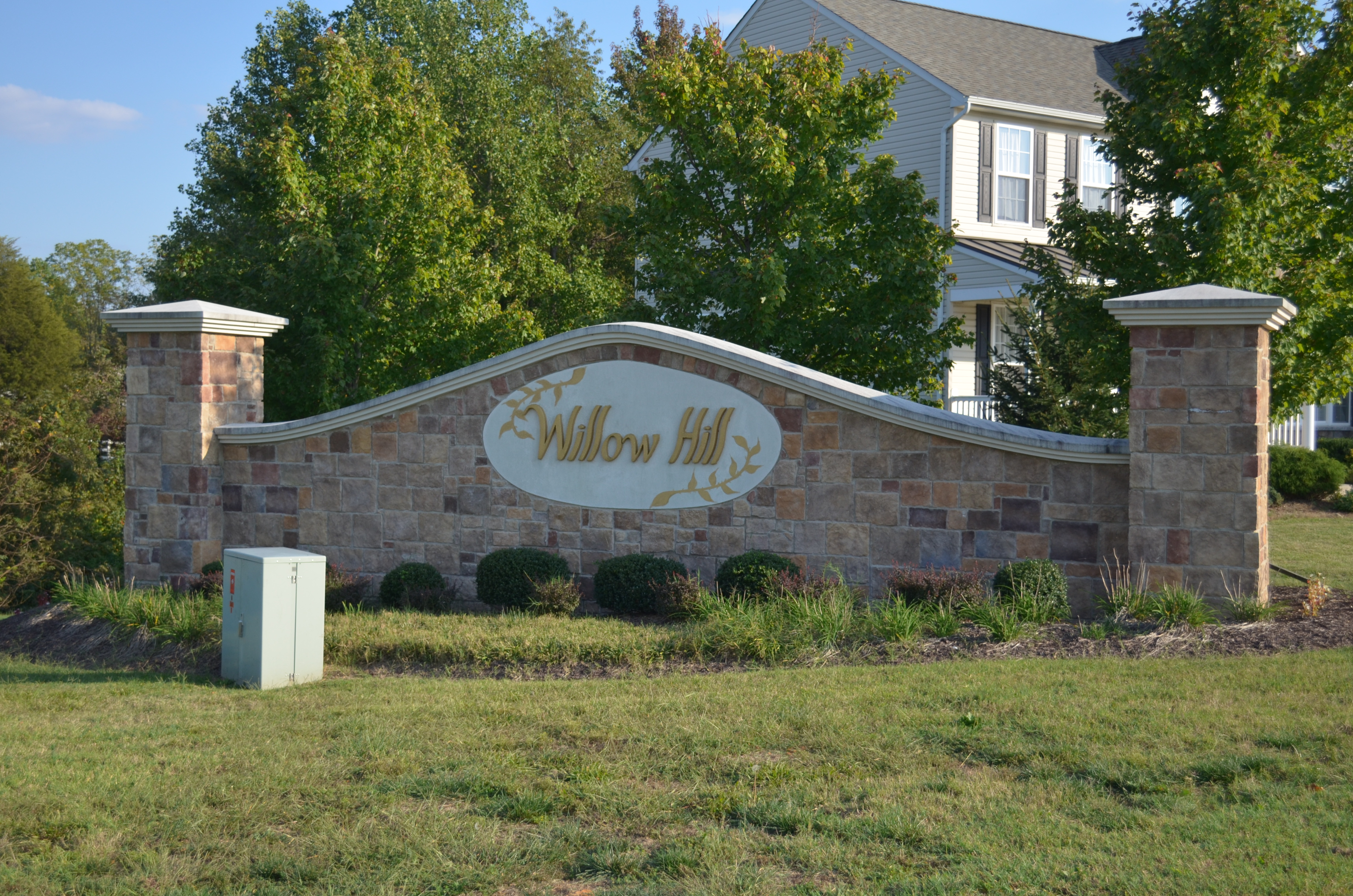
Willow Hill, King George, Virginia
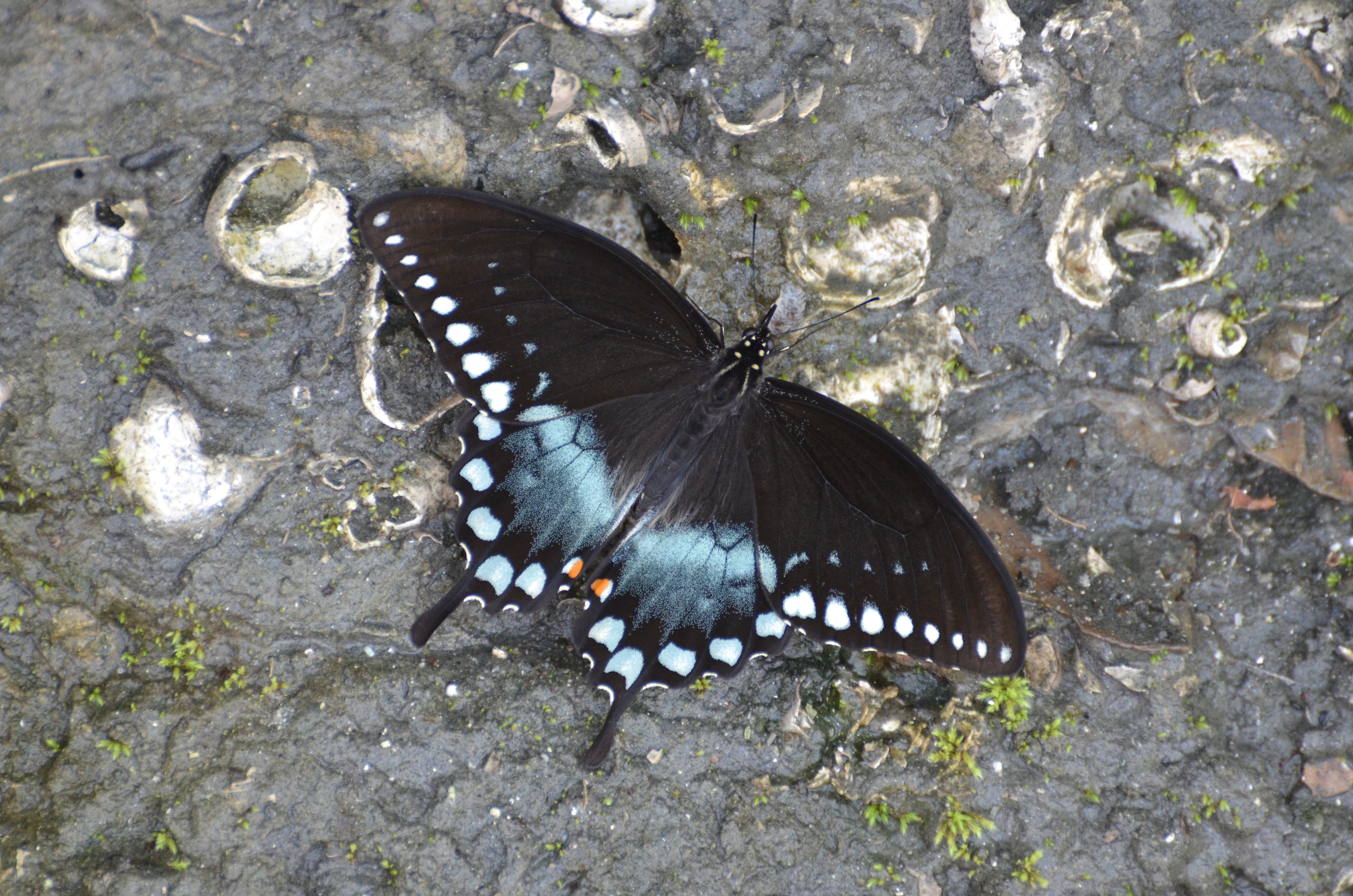
Spicebush Swallowtail, Virginia
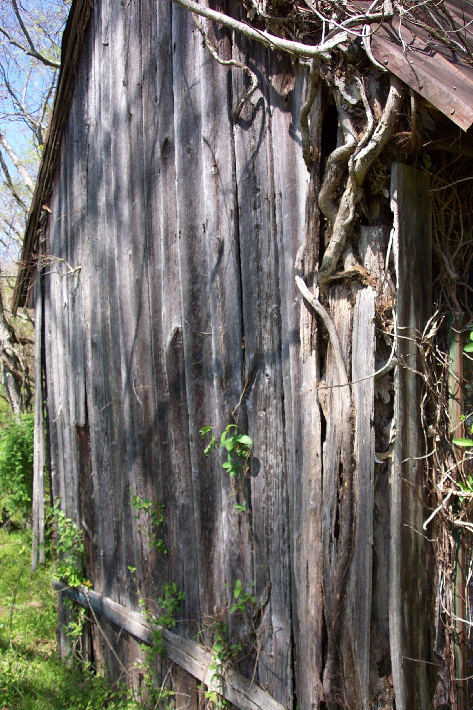
Old Barn at Friendship Farm Park
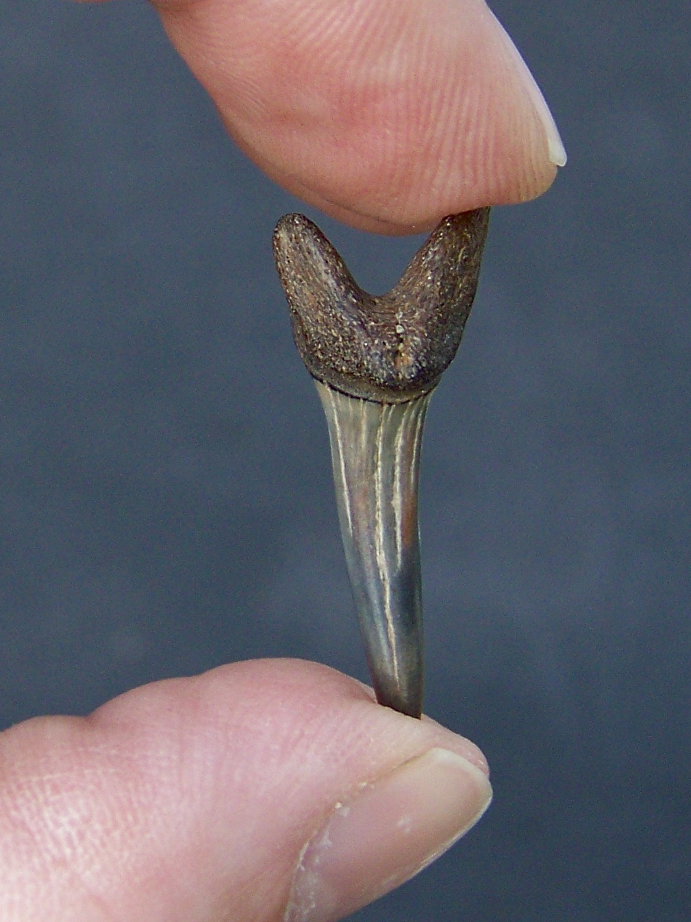
A Prize Tooth

Some of the Best
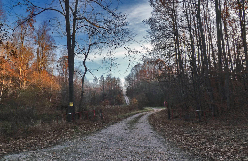
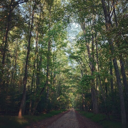
Winding Farm Road at Twilight

Widewater Hunt 2012

setting sun blazing against silver buildings...
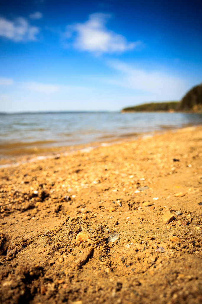
Sand Pebbles

Swamp Sparrow

Harry Nice Bridge and Power plant

Summer Morning
That nature pic of the day...

Trying to take pictures while #running...
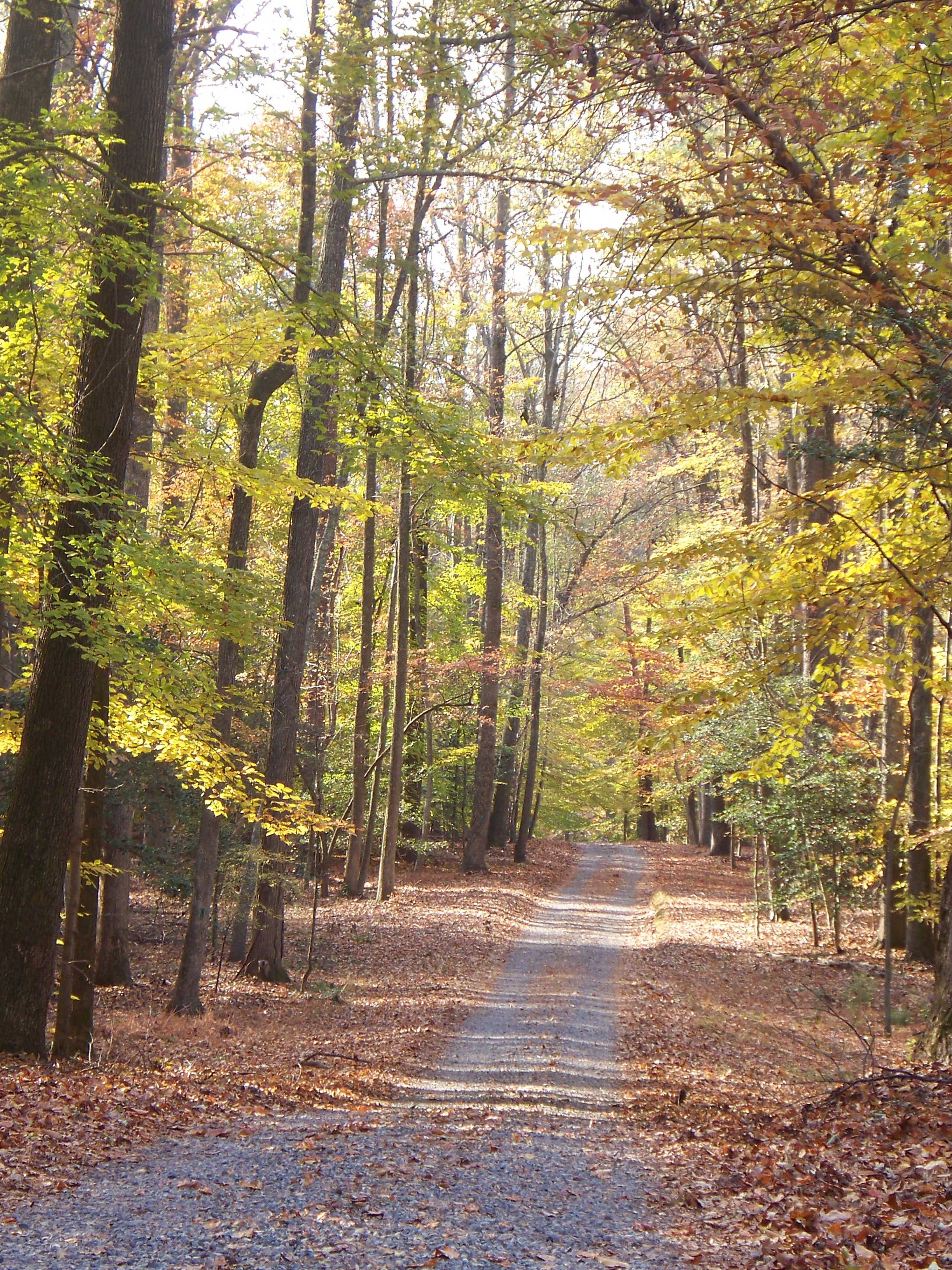
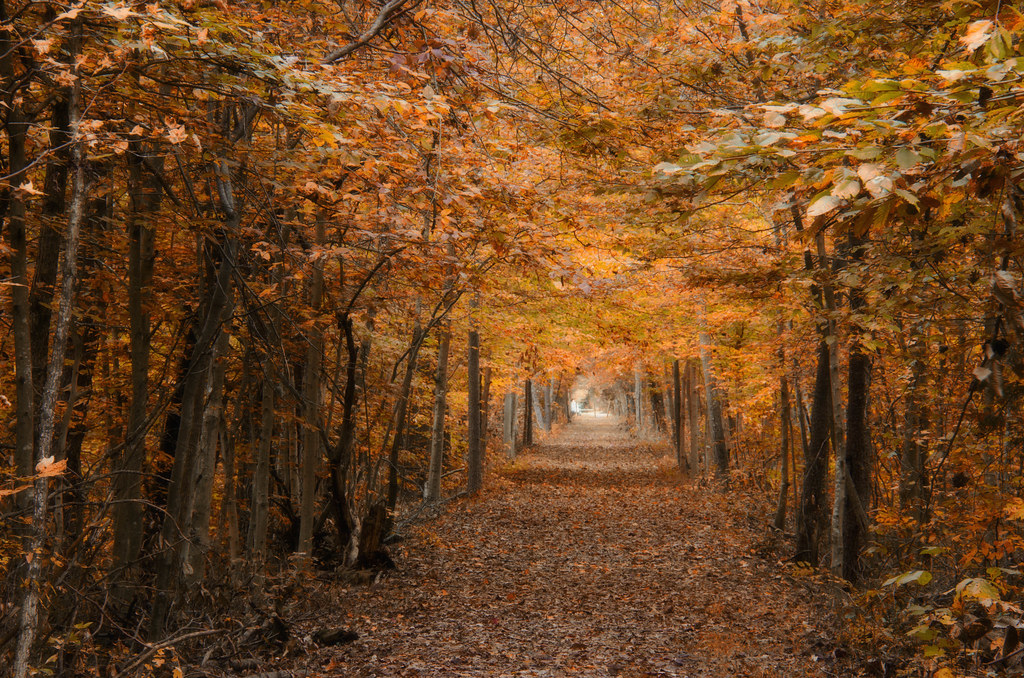
Autumn in Virginia
Fairview Beach - King George County, VA.

Governor Harry W. Nice Memorial Bridge - Route 301
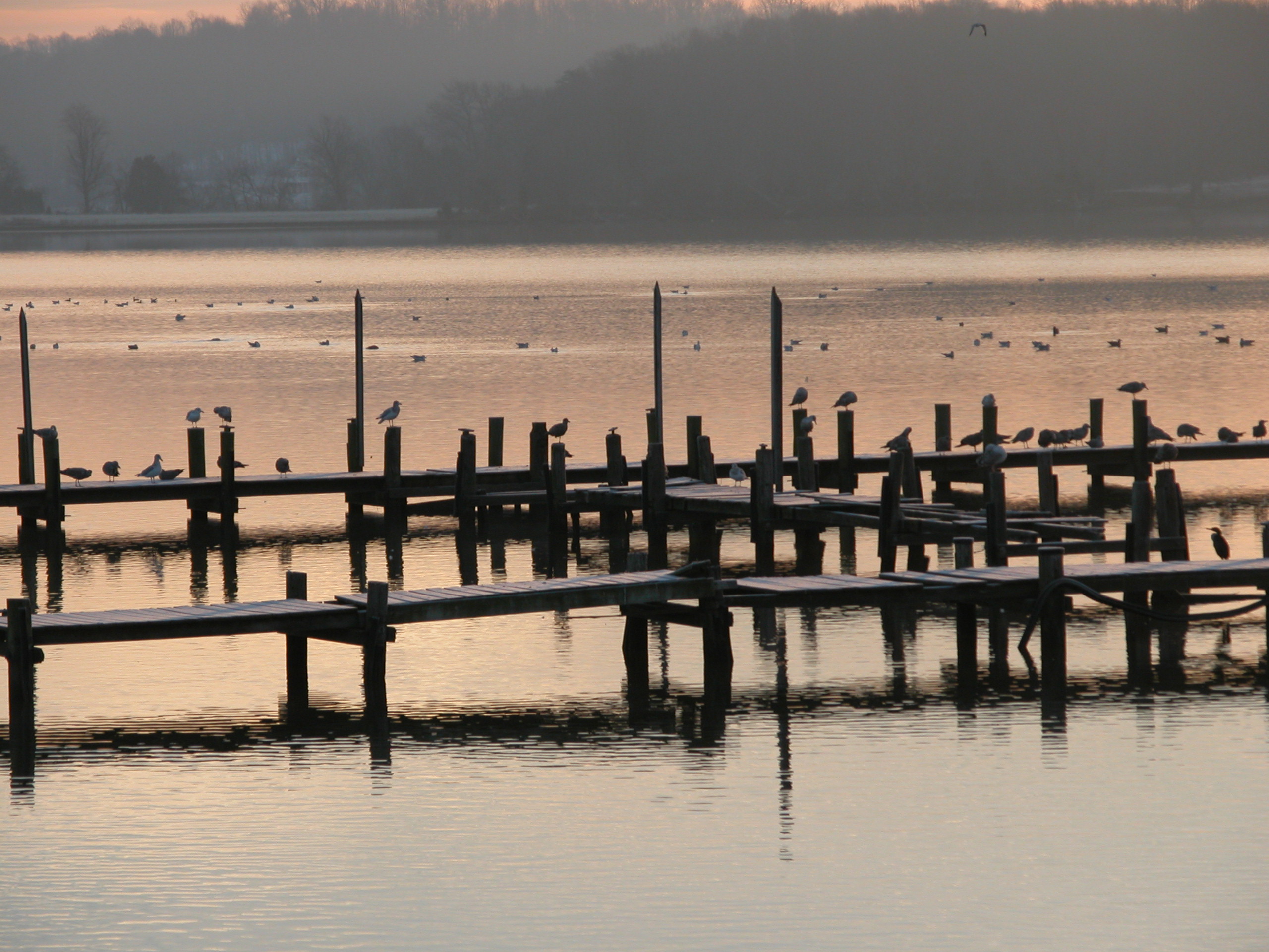
December Dawn, Potomac Creek, Virginia

Spreading wings 09|23 Altitude: 27m Latitude: 38.387795N Longitude: 77.315946W
Not a particularly strenuous hike.
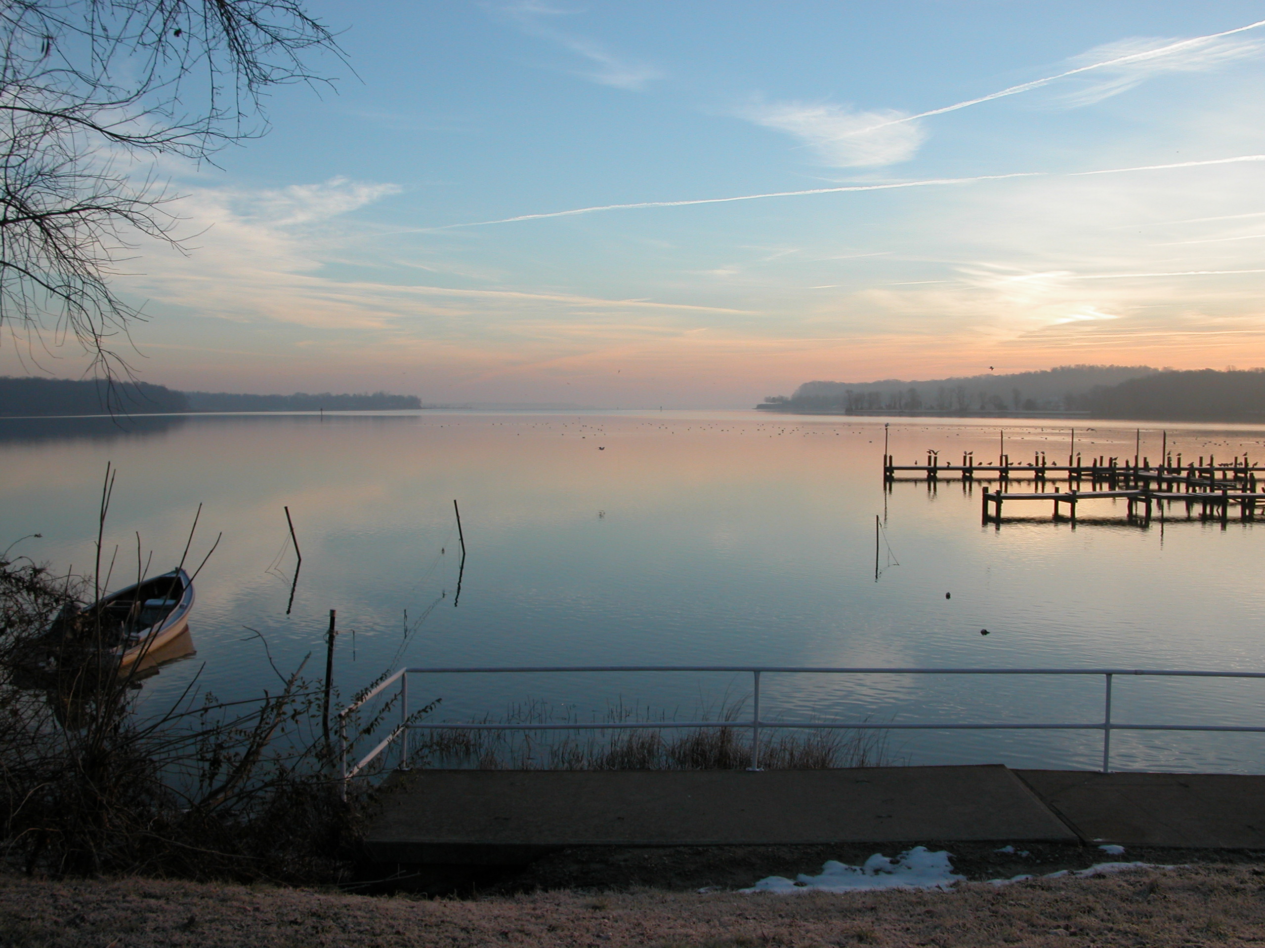
December Dawn, Potomac Creek, Virginia
US301 bridge, Md to Va

Hermit Thrush

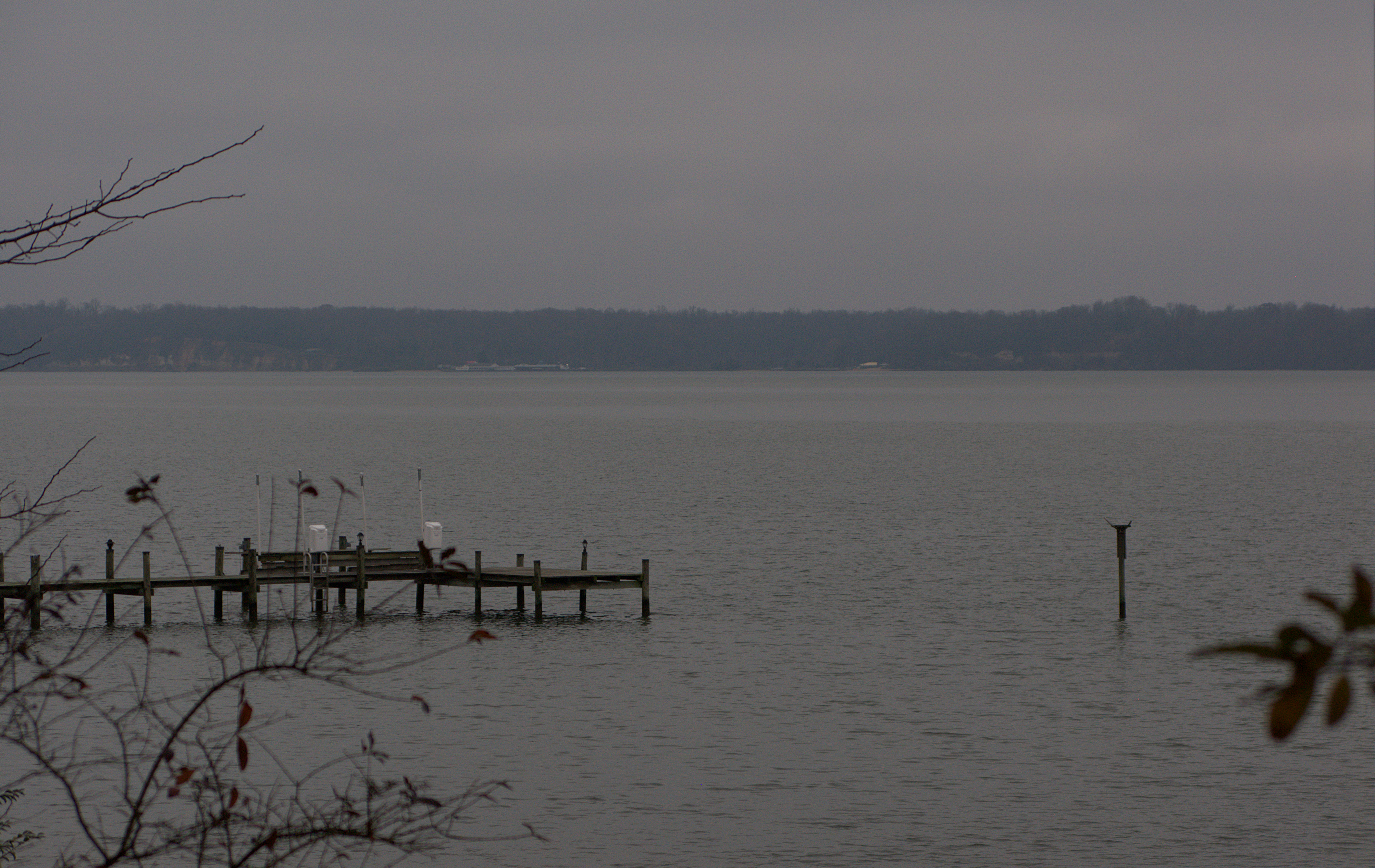
Winter Morning
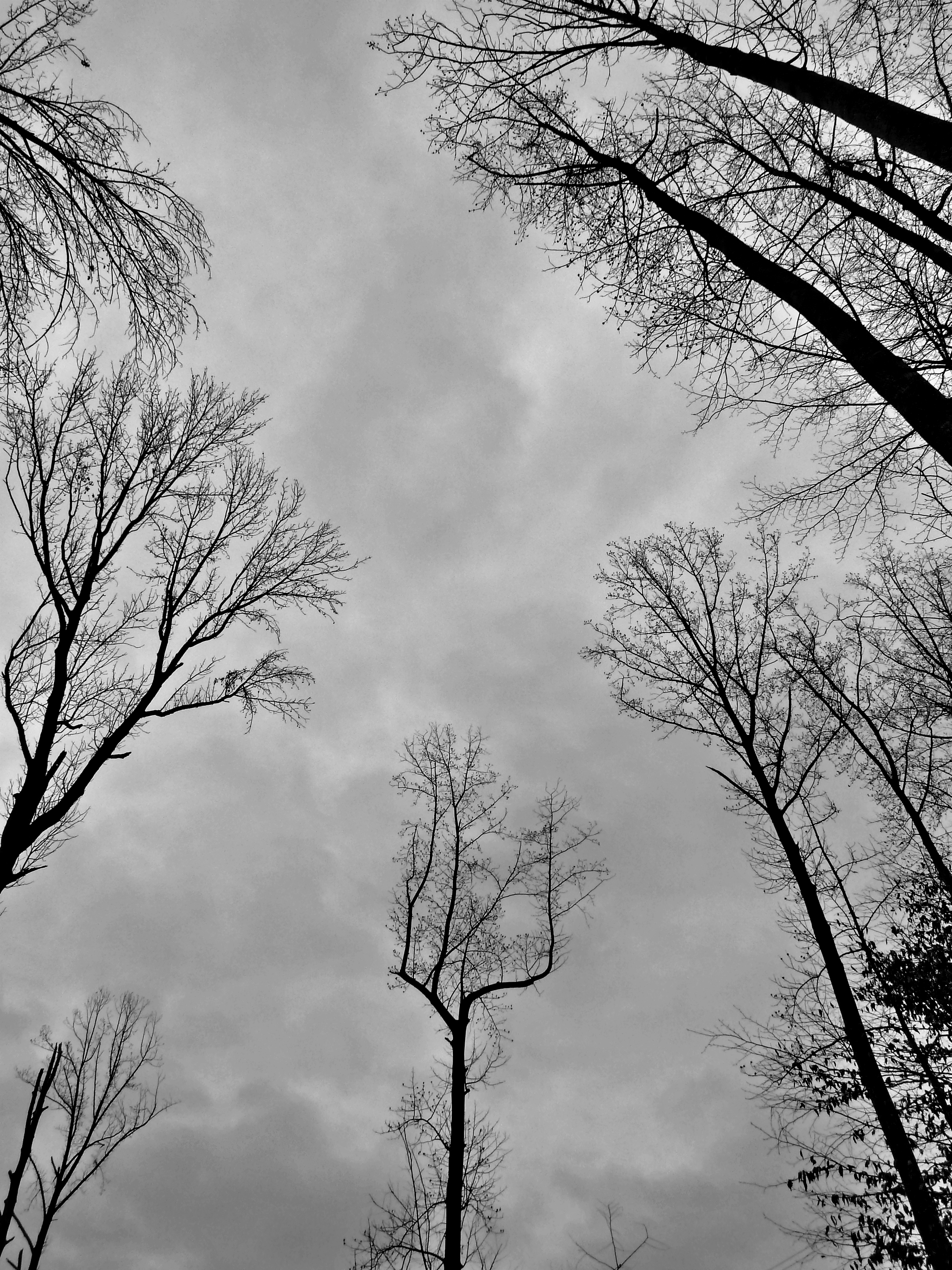
DRHT - Fall color
Topographic Map of James Monroe, VA, USA
Find elevation by address:

Places near James Monroe, VA, USA:
6613 St Pauls Rd
6161 10th St
5499 Windsor Dr
5499 Windsor Dr
Maryland Point Rd, Nanjemoy, MD, USA
4417 Pamlico Dr
Blossom Point Research Field
Owens Drive
4260 Alexis Ln
Alexis Lane
4235 Alexis Ln
5406 Payne Dr
4054 Chatham Dr
Potomac Dr, King George, VA, USA
Dahlgren
Carroll's Automotive
Nanjemoy
Marlborough Point Rd, Stafford, VA, USA
Nanjemoy
Gilroy Rd, Nanjemoy, MD, USA
Recent Searches:
- Elevation of Corso Fratelli Cairoli, 35, Macerata MC, Italy
- Elevation of Tallevast Rd, Sarasota, FL, USA
- Elevation of 4th St E, Sonoma, CA, USA
- Elevation of Black Hollow Rd, Pennsdale, PA, USA
- Elevation of Oakland Ave, Williamsport, PA, USA
- Elevation of Pedrógão Grande, Portugal
- Elevation of Klee Dr, Martinsburg, WV, USA
- Elevation of Via Roma, Pieranica CR, Italy
- Elevation of Tavkvetili Mountain, Georgia
- Elevation of Hartfords Bluff Cir, Mt Pleasant, SC, USA