Elevation of Payne Dr, King George, VA, USA
Location: United States > Virginia > King George County > Dahlgren > Dahlgren >
Longitude: -77.053157
Latitude: 38.3332659
Elevation: 6m / 20feet
Barometric Pressure: 101KPa
Elevation Map:
Satellite Map:
Related Photos:
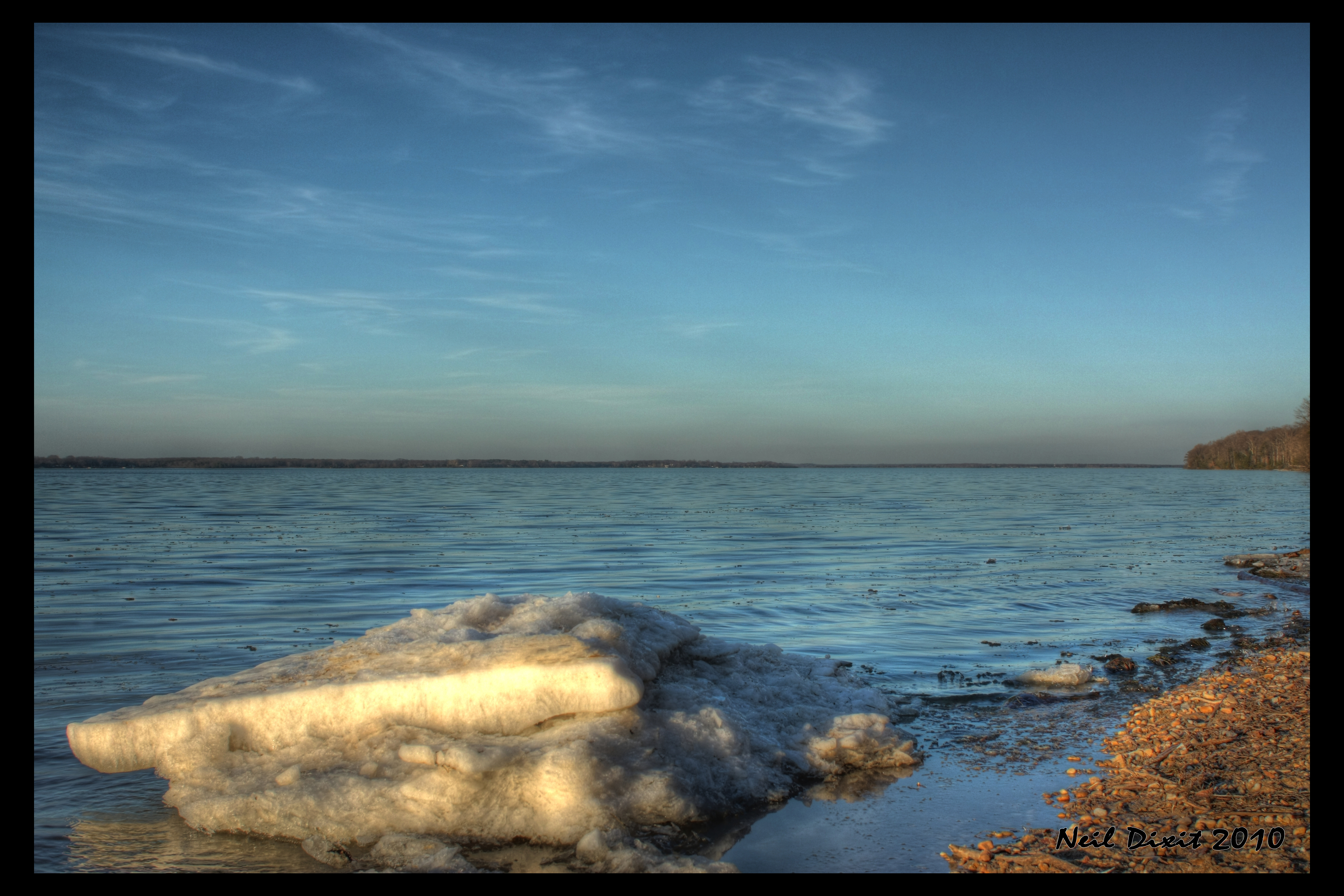
Ice on the Potomac

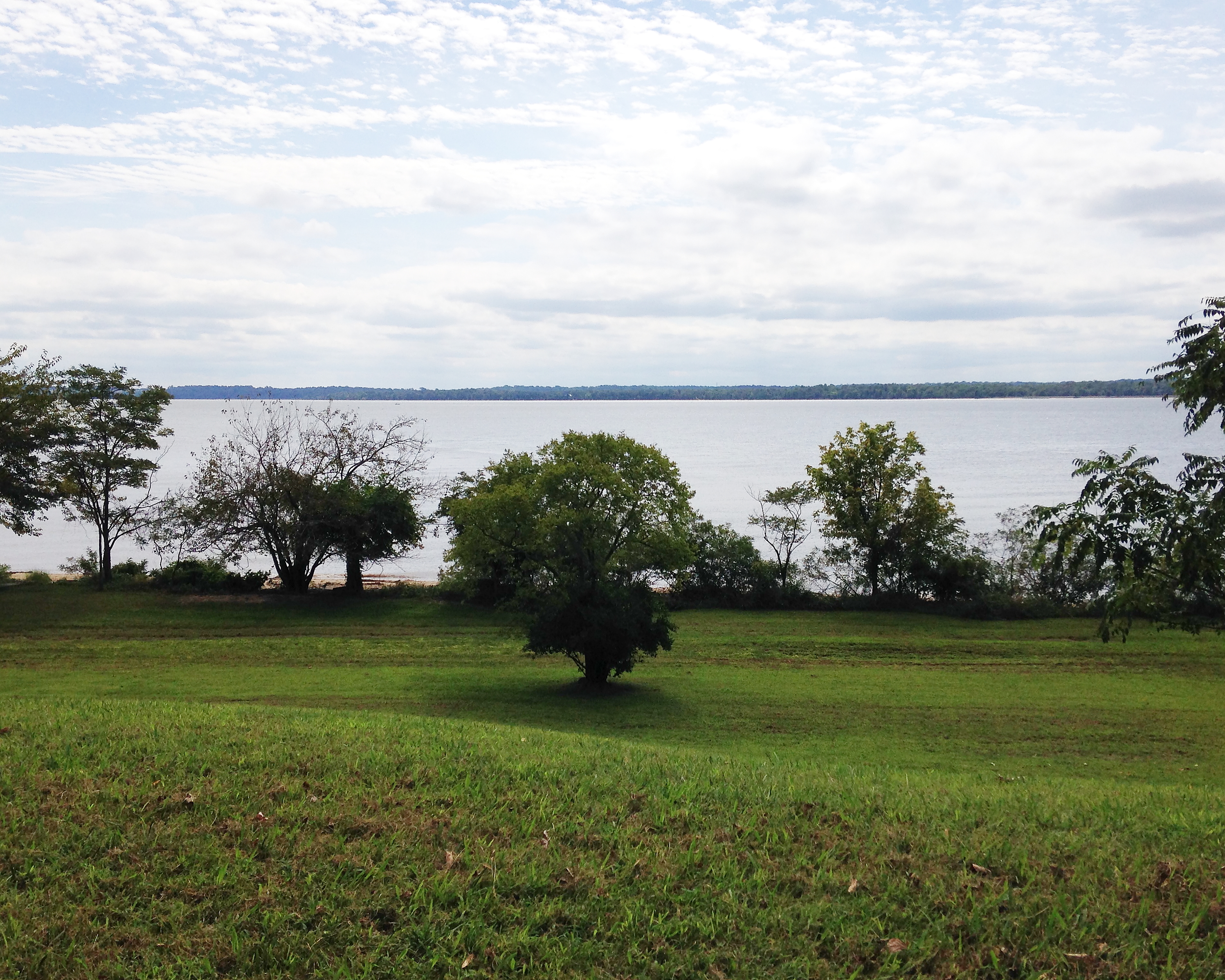
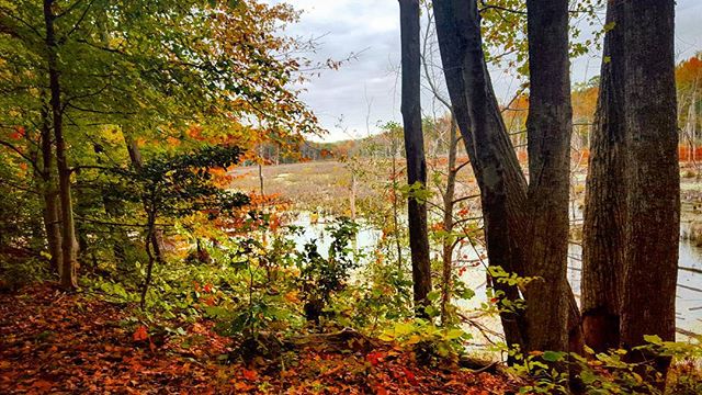
autumnal view
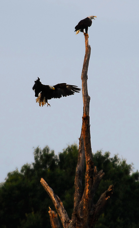
...the eagle is landing...
Indian Head 100 Potomac View
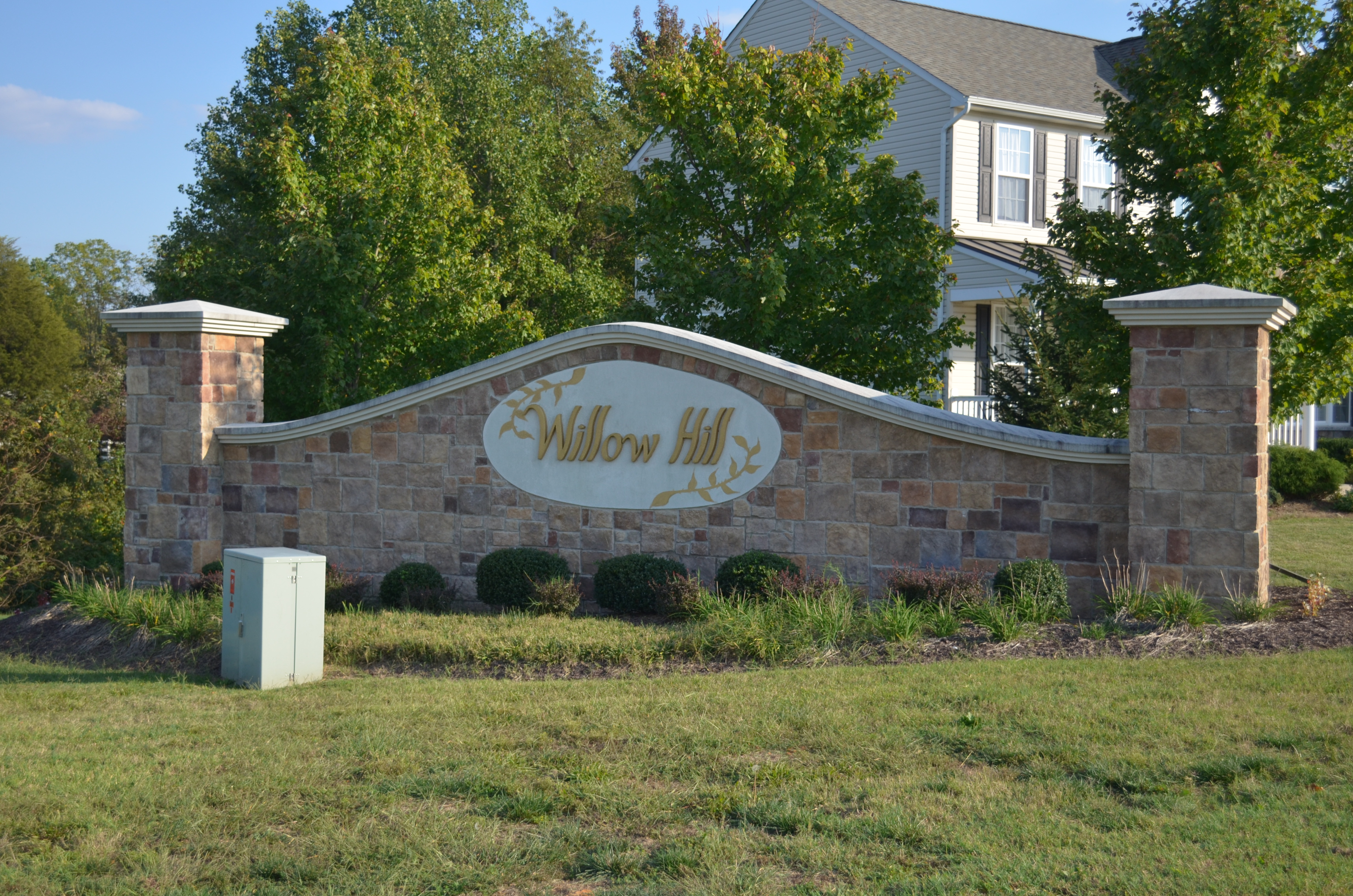
Willow Hill, King George, Virginia
Went to see my friend Savannah on #Valentines

Bridge view
US 301 Bridge over the Potomac

View from St. Ignatius

St. Ignatius Catholic Church

US301 bridge, Md to Va

Osprey Nest 1
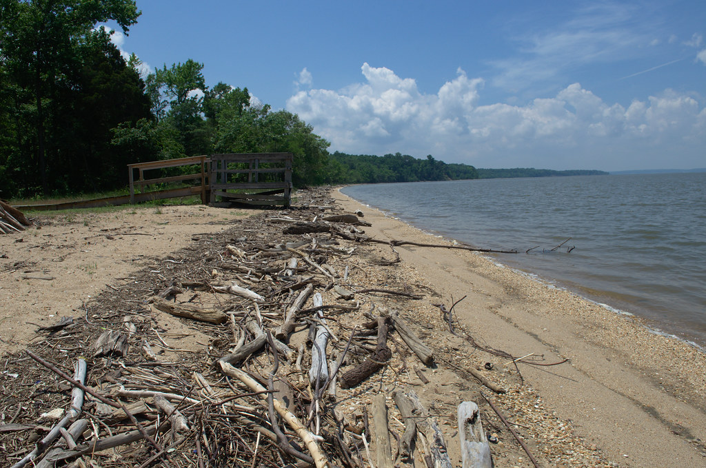
Beach Views - Colonial Beach
Great view for eating my final crabs of the season ~le sigh~
Beach Views - Colonial Beach

A plot with a view

Swamp Sparrow

Summer Morning
That nature pic of the day...

Trying to take pictures while #running...
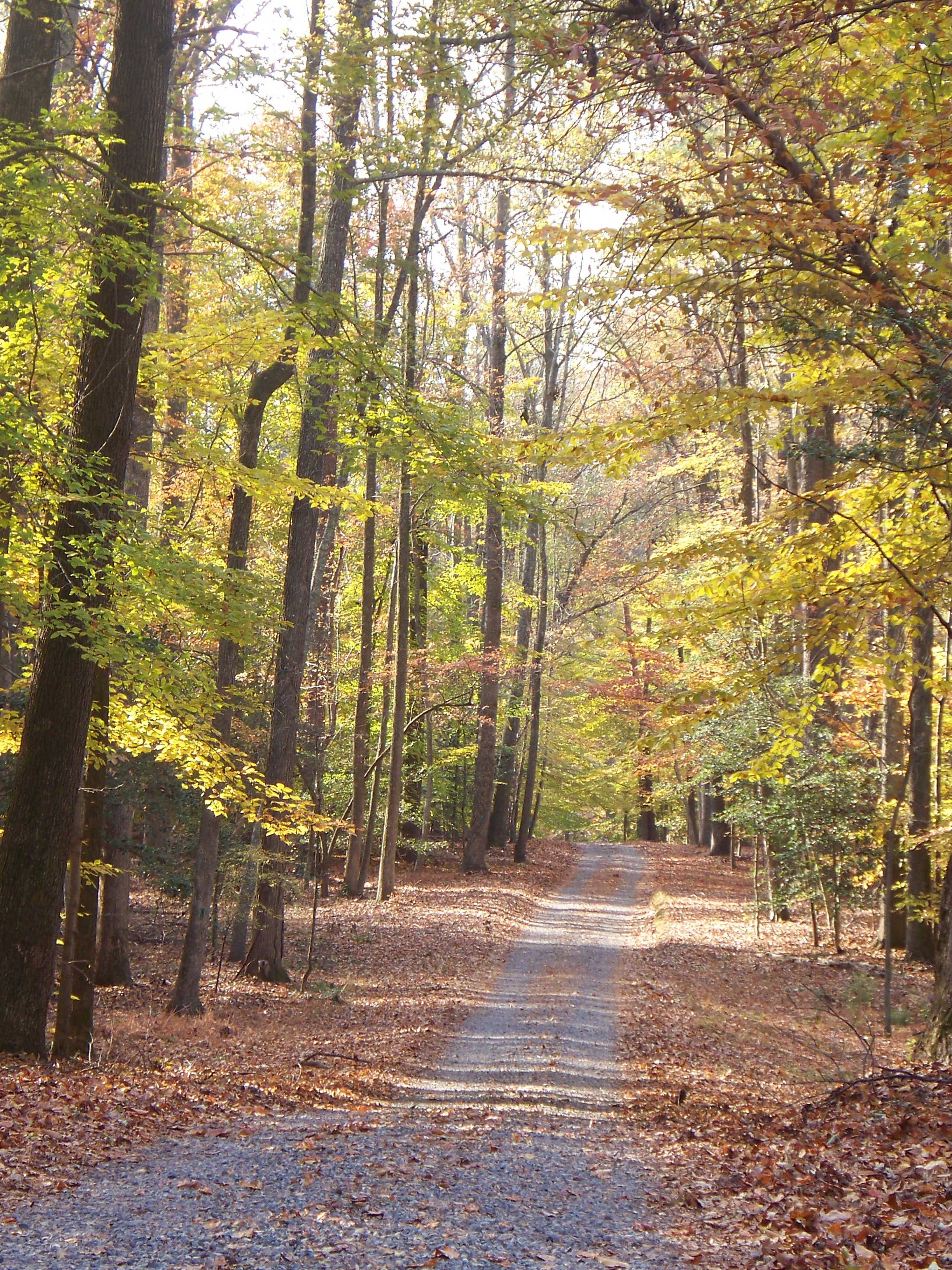
Autumn in Virginia
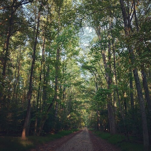
Not a particularly strenuous hike.

Hermit Thrush

southern states
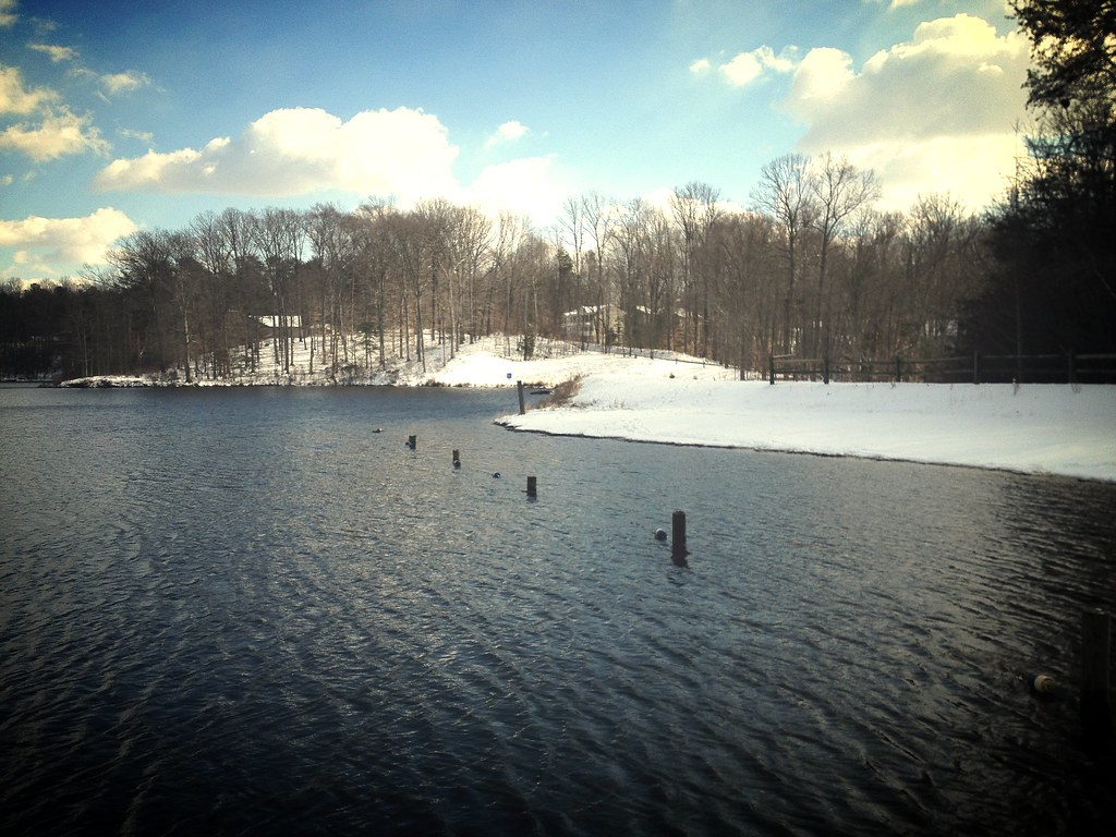
lake and snow
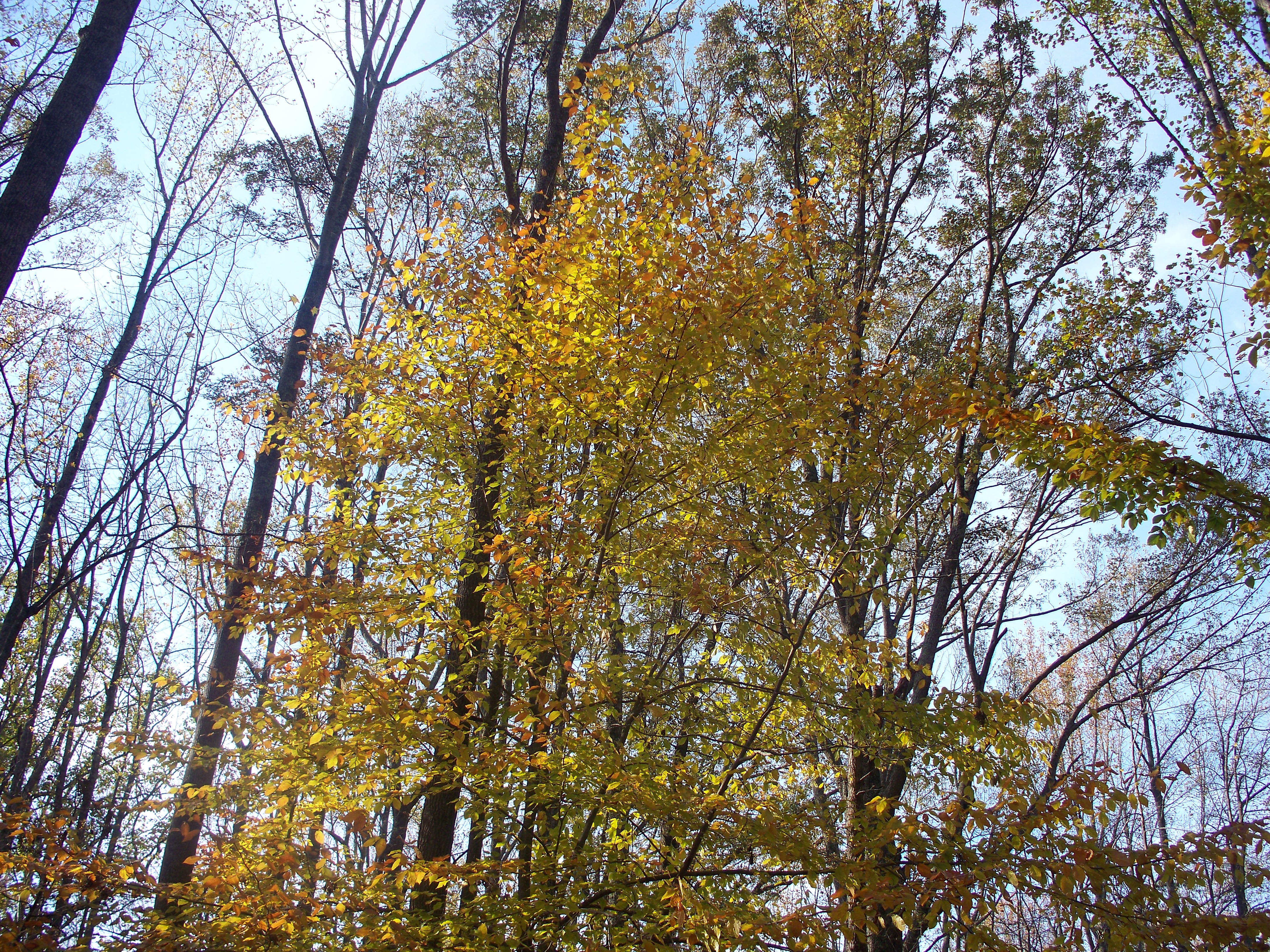
Autumn in Virginia
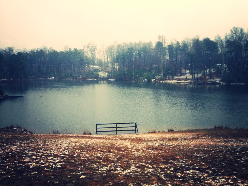
Lake Madison
Potomac River bank
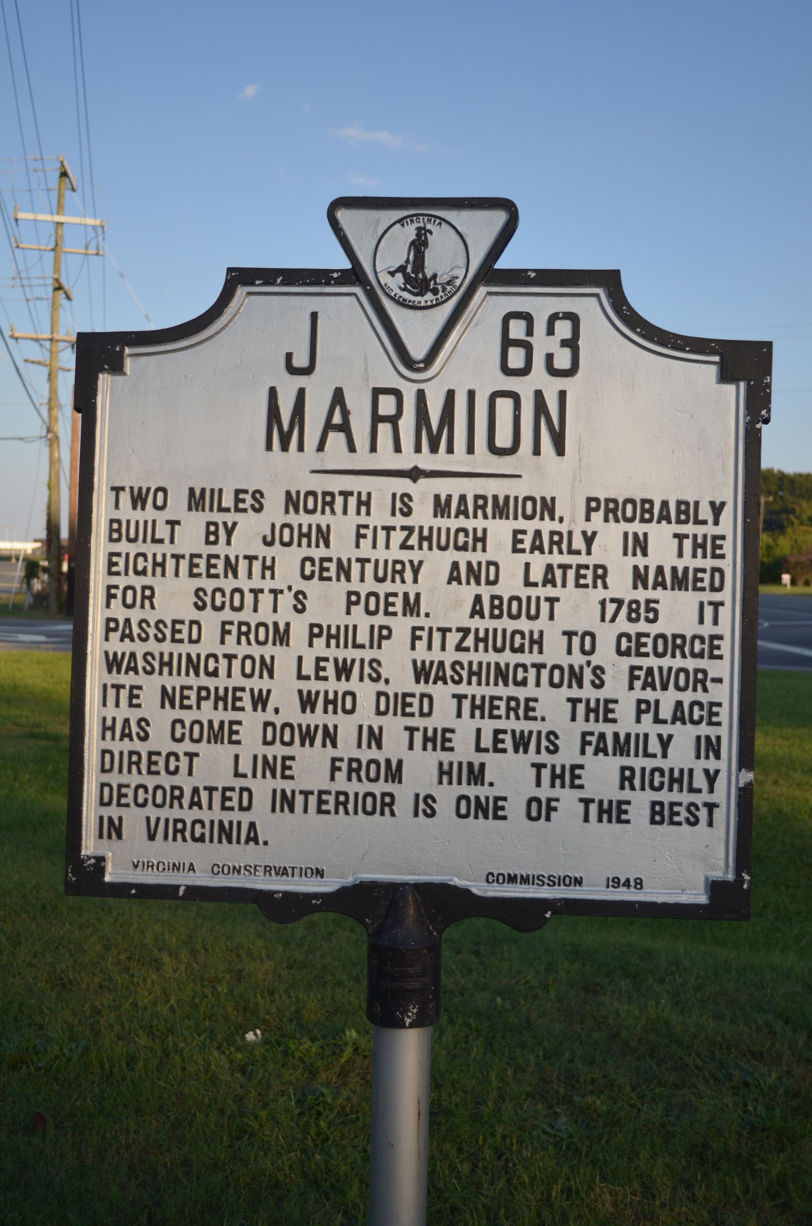
MARMION Highway Marker, King George County, Virginia
cold rainy day at the beach
Colonial Beach Pier
navy tower full moon
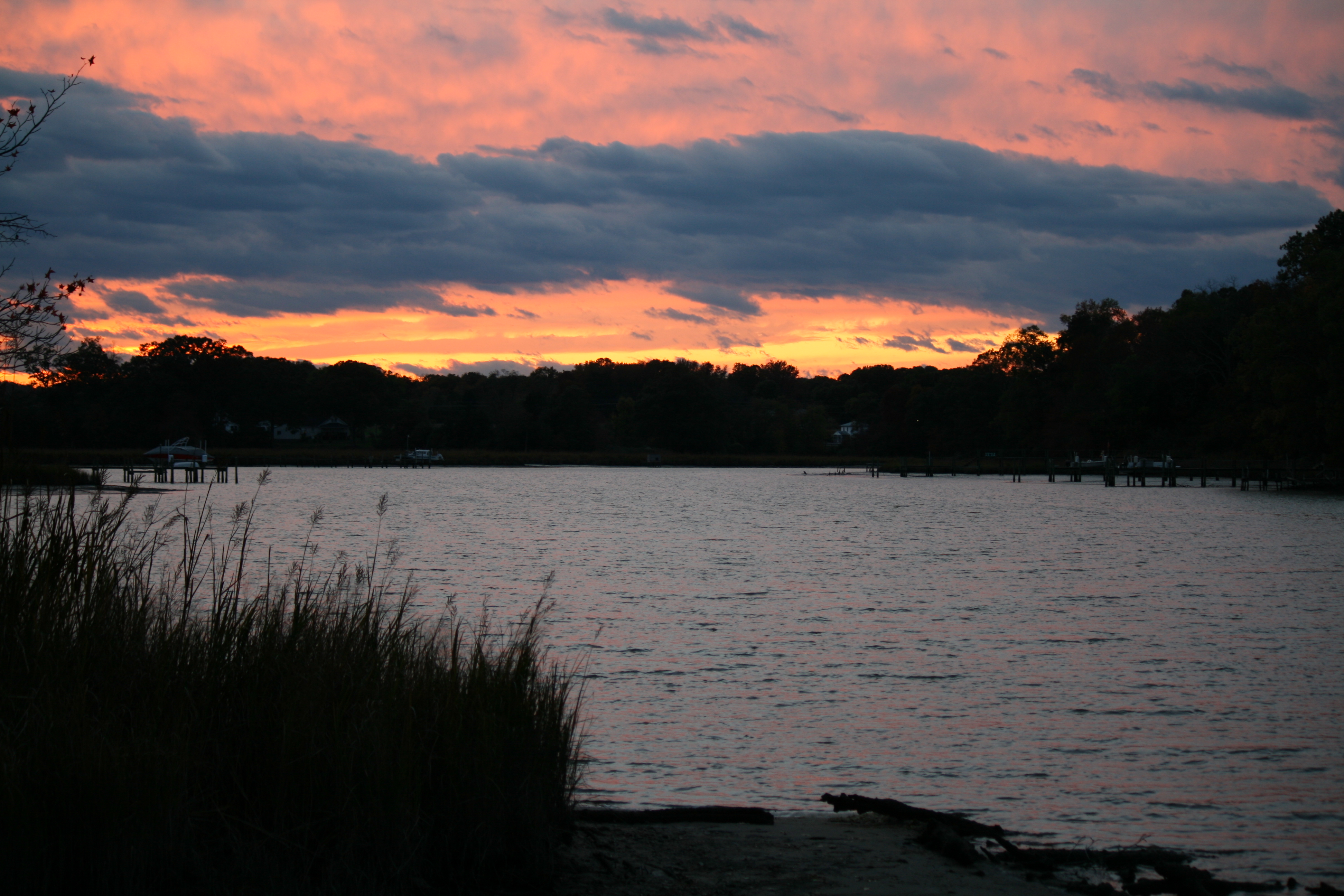
Sunset Mattox Creek
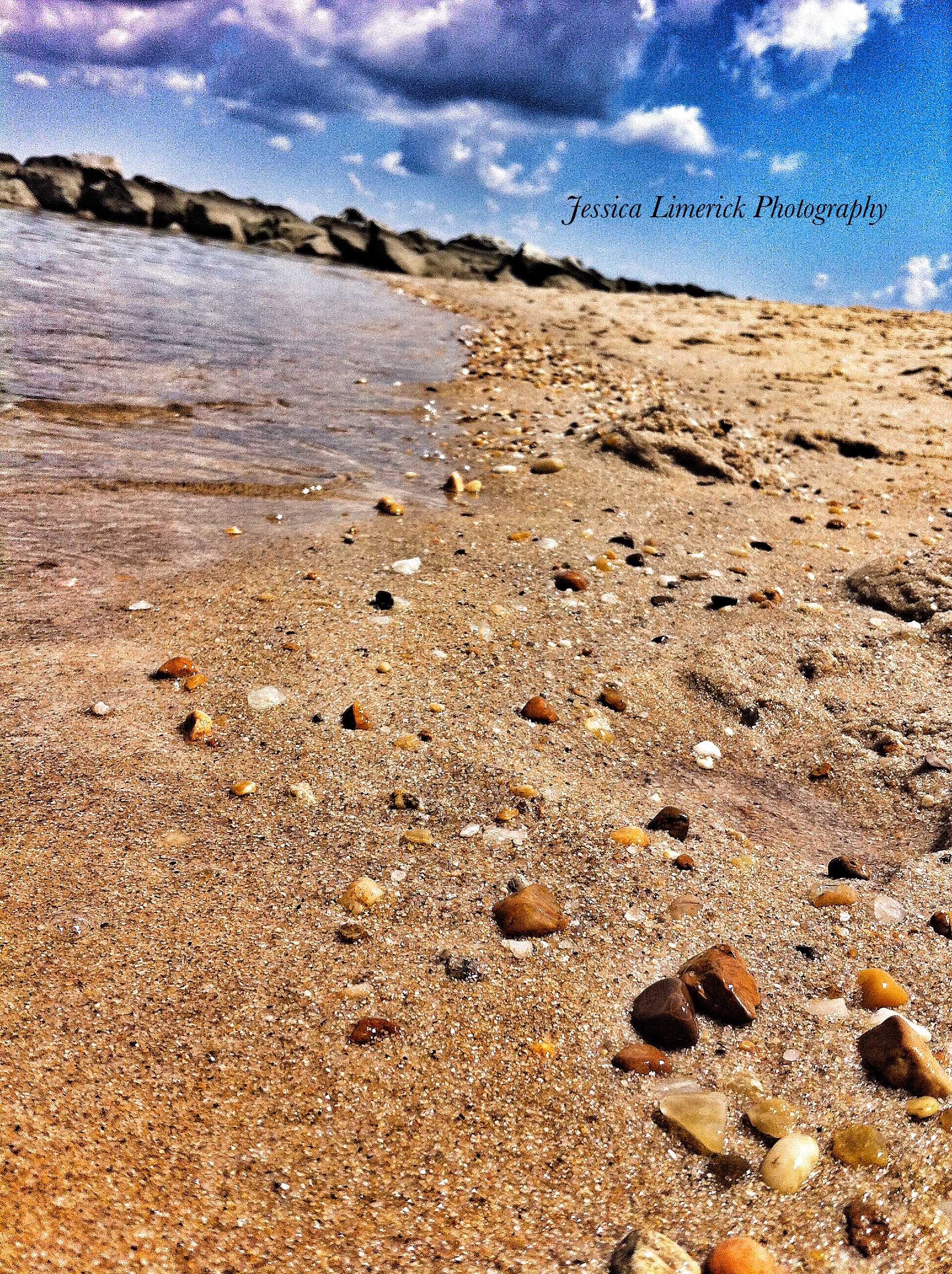
Sand, sun and stones

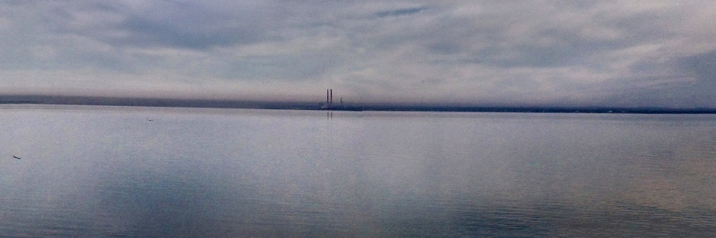
Harry Nice Bridge and Power plant

Dey Broke, Can Ya Fixum

Maryland's All Aglow!
Topographic Map of Payne Dr, King George, VA, USA
Find elevation by address:

Places near Payne Dr, King George, VA, USA:
Potomac Dr, King George, VA, USA
Dahlgren
Carroll's Automotive
Alexis Lane
4260 Alexis Ln
4417 Pamlico Dr
4235 Alexis Ln
4054 Chatham Dr
Owens Drive
5499 Windsor Dr
5499 Windsor Dr
6613 St Pauls Rd
Blossom Point Research Field
James Monroe
Mt Air Rd, Newburg, MD, USA
St Ignatius-chapel Point
Welcome
2, Hill Top
Potobac Shores Rd, Port Tobacco, MD, USA
1, La Plata
Recent Searches:
- Elevation of Corso Fratelli Cairoli, 35, Macerata MC, Italy
- Elevation of Tallevast Rd, Sarasota, FL, USA
- Elevation of 4th St E, Sonoma, CA, USA
- Elevation of Black Hollow Rd, Pennsdale, PA, USA
- Elevation of Oakland Ave, Williamsport, PA, USA
- Elevation of Pedrógão Grande, Portugal
- Elevation of Klee Dr, Martinsburg, WV, USA
- Elevation of Via Roma, Pieranica CR, Italy
- Elevation of Tavkvetili Mountain, Georgia
- Elevation of Hartfords Bluff Cir, Mt Pleasant, SC, USA