Elevation of Alexis Ln, King George, VA, USA
Location: United States > Virginia > King George County > Dahlgren > Dahlgren >
Longitude: -77.057593
Latitude: 38.3572478
Elevation: 7m / 23feet
Barometric Pressure: 101KPa
Elevation Map:
Satellite Map:
Related Photos:

Scenic Potomac River
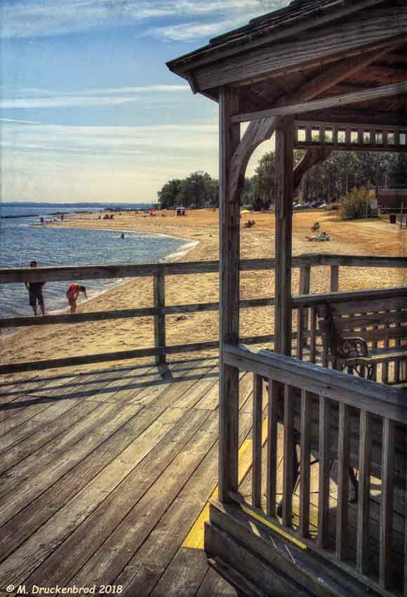
A View of the Beach from the Colonial Beach Municipal Pier

Beach Views - Colonial Beach

View of Little Ferry Road, King George County, VA

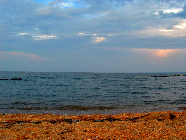
Beach Views - Colonial Beach

Bridge view

US 301 Bridge over the Potomac

Ice on the Potomac

Willow Hill, King George, Virginia

Indian Head 100 Potomac View

Went to see my friend Savannah on #Valentines

...the eagle is landing...

Osprey Nest 1

US301 bridge, Md to Va

St. Ignatius Catholic Church

View from St. Ignatius

A plot with a view

autumnal view

Great view for eating my final crabs of the season ~le sigh~

Old Barn at Friendship Farm Park

Dey Broke, Can Ya Fixum

Crossing Potomac River into Maryland, U.S. Route 301, Newburg, Maryland

Colonial Beach

Eroding cliffs along Potomac River in Westmoreland County, Va.

Crossing Potomac River into Maryland, U.S. Route 301, Newburg, Maryland

Crossing Potomac River into Maryland, Governor Harry W. Nice Memorial Bridge, U.S. Route 301, Newburg, Maryland

Potomac River in Westmoreland County, Va.

Potomac River
Potomac River

Potomac River

Crossing Potomac River into Maryland, Governor Harry W. Nice Memorial Bridge, U.S. Route 301, Newburg, Maryland

Twilight Bridge

Road Trip - Maryland

cold rainy day at the beach

Sunset Forest Scene

Harry Nice Bridge and Power plant

Harry Nice Bridge

Berry Warf Road, King George County, VA
Topographic Map of Alexis Ln, King George, VA, USA
Find elevation by address:

Places near Alexis Ln, King George, VA, USA:
4260 Alexis Ln
Alexis Lane
4054 Chatham Dr
Owens Drive
4417 Pamlico Dr
5406 Payne Dr
Potomac Dr, King George, VA, USA
Carroll's Automotive
Dahlgren
5499 Windsor Dr
5499 Windsor Dr
6613 St Pauls Rd
Blossom Point Research Field
Mt Air Rd, Newburg, MD, USA
James Monroe
St Ignatius-chapel Point
Welcome
2, Hill Top
Potobac Shores Rd, Port Tobacco, MD, USA
1, La Plata
Recent Searches:
- Elevation of Corso Fratelli Cairoli, 35, Macerata MC, Italy
- Elevation of Tallevast Rd, Sarasota, FL, USA
- Elevation of 4th St E, Sonoma, CA, USA
- Elevation of Black Hollow Rd, Pennsdale, PA, USA
- Elevation of Oakland Ave, Williamsport, PA, USA
- Elevation of Pedrógão Grande, Portugal
- Elevation of Klee Dr, Martinsburg, WV, USA
- Elevation of Via Roma, Pieranica CR, Italy
- Elevation of Tavkvetili Mountain, Georgia
- Elevation of Hartfords Bluff Cir, Mt Pleasant, SC, USA