Elevation of Polka Rd, Maxville, FL, USA
| Latitude | 30.1791086 |
|---|---|
| Longitude | -82.0059788 |
| Elevation | 30m / 98feet |
| Barometric Pressure | 1010KPa |
Related Photos:
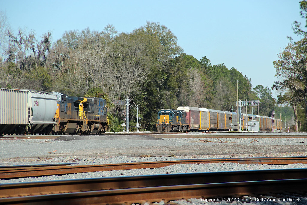
Train meet in Baldwin, FL

View from a horse

Building 1, from the sales trailer

Forsyth Park, Savannah, Georgia #forsythpark #park #savannahgeorgia #georgia #visitsavannah #chathamcountyga #exploregeorgia #thesouthernfront #thegreatercollective #theamericancollective #landscape #landmark #touristattraction #city #view #scene #scenery

Rain State

Abandoned House

#Shooting #muckfest #2014 #Florida

Worn and Torn

mayhem-78.jpg
mayhem-2.jpg

mayhem-1.jpg
Topographic Map of Polka Rd, Maxville, FL, USA
Find elevation by address:
Places near Polka Rd, Maxville, FL, USA:
Maxville Blvd, Jacksonville, FL, USA
Maxville
6264 Flag Run Dr
US-, Jacksonville, FL, USA
6077 Little Colt Ct
Main St, Lawtey, FL, USA
5434 Muscovy Rd
1734 Big Branch Rd
Muscovy Road
2118 Mallard Rd
5145 Co Rd 218
5145 Co Rd 218
132 Melanie Ln
2022 Crestview Ct
2187 Nw 247th St
FL-, Glen St Mary, FL, USA
16851 Ne 271st Ave
6125 Northwest County Road 125
Northeast 260th Loop
6742 Corban Way
Recent Searches:
- Elevation of 104, Chancery Road, Middletown Township, Bucks County, Pennsylvania, 19047, USA
- Elevation of 1212, Cypress Lane, Dayton, Liberty County, Texas, 77535, USA
- Elevation map of Central Hungary, Hungary
- Elevation map of Pest, Central Hungary, Hungary
- Elevation of Pilisszentkereszt, Pest, Central Hungary, Hungary
- Elevation of Dharamkot Tahsil, Punjab, India
- Elevation of Bhinder Khurd, Dharamkot Tahsil, Punjab, India
- Elevation of 2881, Chabot Drive, San Bruno, San Mateo County, California, 94066, USA
- Elevation of 10370, West 107th Circle, Westminster, Jefferson County, Colorado, 80021, USA
- Elevation of 611, Roman Road, Old Ford, Bow, London, England, E3 2RW, United Kingdom
- Elevation of 116, Beartown Road, Underhill, Chittenden County, Vermont, 05489, USA
- Elevation of Window Rock, Colfax County, New Mexico, 87714, USA
- Elevation of 4807, Rosecroft Street, Kempsville Gardens, Virginia Beach, Virginia, 23464, USA
- Elevation map of Matawinie, Quebec, Canada
- Elevation of Sainte-Émélie-de-l'Énergie, Matawinie, Quebec, Canada
- Elevation of Rue du Pont, Sainte-Émélie-de-l'Énergie, Matawinie, Quebec, J0K2K0, Canada
- Elevation of 8, Rue de Bécancour, Blainville, Thérèse-De Blainville, Quebec, J7B1N2, Canada
- Elevation of Wilmot Court North, 163, University Avenue West, Northdale, Waterloo, Region of Waterloo, Ontario, N2L6B6, Canada
- Elevation map of Panamá Province, Panama
- Elevation of Balboa, Panamá Province, Panama