Elevation of Main St, Lawtey, FL, USA
Location: United States > Florida > Clay County > Lawtey >
Longitude: -82.045986
Latitude: 30.112242
Elevation: 60m / 197feet
Barometric Pressure: 101KPa
Elevation Map:
Satellite Map:
Related Photos:

View from the Underwood

Another view of creepy collage at the Underwood Motel.

A-6 Intruder at Camp Blanding

A-7 Corsair Displayed at Camp Blanding

View from a horse

Camp Blanding - Trench Periscope

Jim Dandy

Camp Blanding

Camp Blanding

Camp Blanding
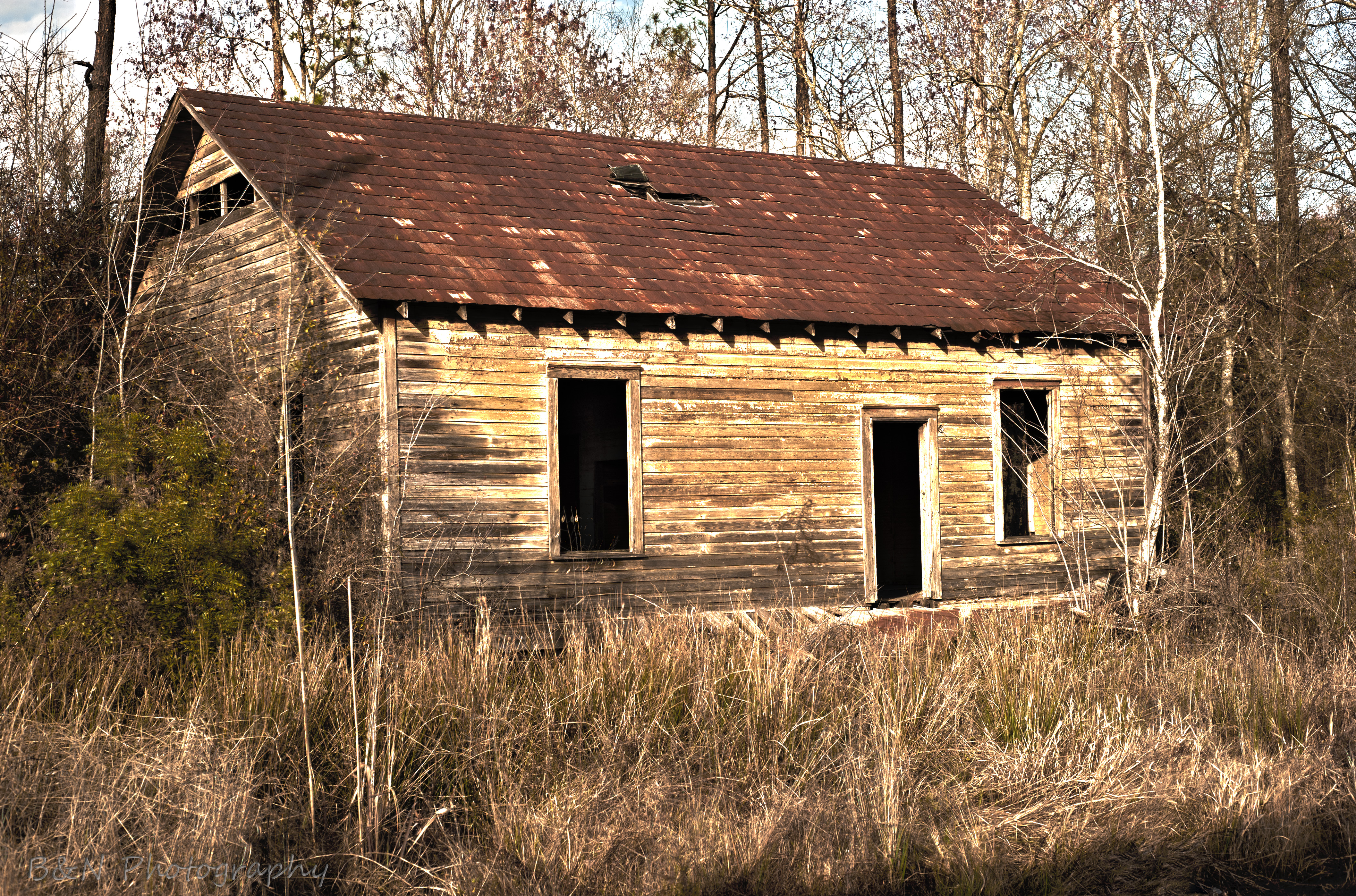
Abandoned House
Topographic Map of Main St, Lawtey, FL, USA
Find elevation by address:

Places near Main St, Lawtey, FL, USA:
2187 Nw 247th St
US-, Jacksonville, FL, USA
6264 Flag Run Dr
6238 Polka Rd
5434 Muscovy Rd
2118 Mallard Rd
Muscovy Road
Maxville Blvd, Jacksonville, FL, USA
Maxville
5145 Co Rd 218
5145 Co Rd 218
1734 Big Branch Rd
6125 Northwest County Road 125
132 Melanie Ln
16851 Ne 271st Ave
2022 Crestview Ct
6077 Little Colt Ct
Northeast 260th Loop
13843 Ne 262nd Loop
13843 Circle Dr
Recent Searches:
- Elevation of Corso Fratelli Cairoli, 35, Macerata MC, Italy
- Elevation of Tallevast Rd, Sarasota, FL, USA
- Elevation of 4th St E, Sonoma, CA, USA
- Elevation of Black Hollow Rd, Pennsdale, PA, USA
- Elevation of Oakland Ave, Williamsport, PA, USA
- Elevation of Pedrógão Grande, Portugal
- Elevation of Klee Dr, Martinsburg, WV, USA
- Elevation of Via Roma, Pieranica CR, Italy
- Elevation of Tavkvetili Mountain, Georgia
- Elevation of Hartfords Bluff Cir, Mt Pleasant, SC, USA