Elevation of Big Branch Rd, Middleburg, FL, USA
Longitude: -81.943869
Latitude: 30.1056455
Elevation: -10000m / -32808feet
Barometric Pressure: 295KPa
Elevation Map:
Satellite Map:
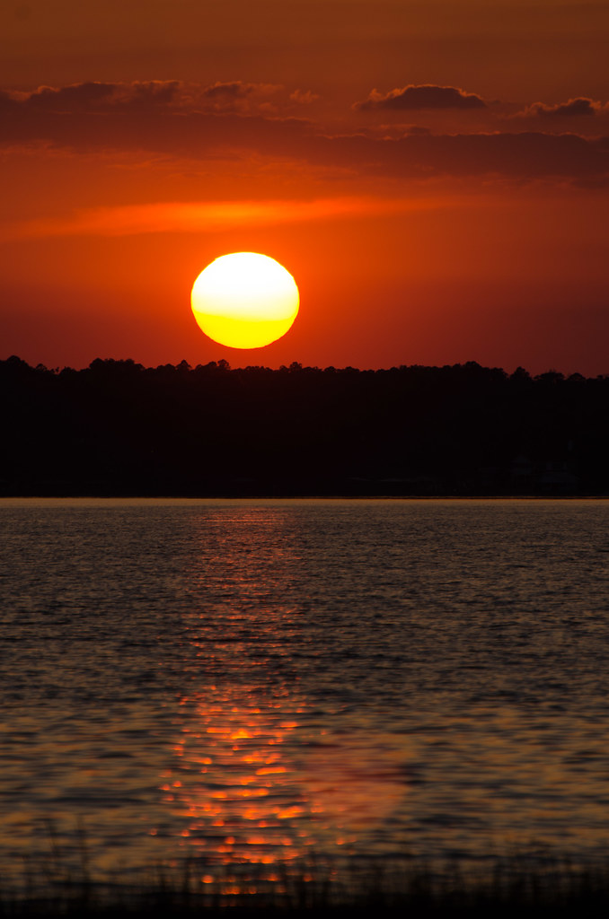
Related Photos:

Black Creek, Middleburg FL

Pectoral Sandpiper (Calidris melanotos)

Musical Notes in bloom - another view

Building 1, from the sales trailer

a chork and his doolie

Pool View

A-6 Intruder at Camp Blanding

Camp Blanding - Trench Periscope

View of Black Creek - Pioneer Trail - Jennings State Forest - Clay County, Florida

A-7 Corsair Displayed at Camp Blanding

Perhaps the cutting-edge side-view mirror?

Song Sparrow (Melospiza melodia)

Vegetated Natural Buffer / Conservation Area

Camp Blanding Musuem view, Camp Blanding 21st October 2022

John E Hayes Memorial Park

Rain State

Watering Day

Jim Dandy

Camp Blanding

Camp Blanding

Abandoned House

Camp Blanding
Camp Blanding

Black Creek Lookout

marthas vineyard roses

bald cypress on a Florida pond

GrandkidsAtThe Lake_2011-6470.jpg

Florida Fishing Pond on an Autumn Morning

Lake Kingsley ..

Florida fishing pond on a bright Autumn day

misty Florida pond on a cool Autumn morning

Ponds End

Lake Kingsley

Building 2 with Building 1 behind

FieldTrip 074
Topographic Map of Big Branch Rd, Middleburg, FL, USA
Find elevation by address:

Places near Big Branch Rd, Middleburg, FL, USA:
5145 Co Rd 218
5145 Co Rd 218
Muscovy Road
5434 Muscovy Rd
2118 Mallard Rd
132 Melanie Ln
2022 Crestview Ct
6264 Flag Run Dr
6238 Polka Rd
Main St, Lawtey, FL, USA
6077 Little Colt Ct
US-, Jacksonville, FL, USA
Maxville
Maxville Blvd, Jacksonville, FL, USA
2187 Nw 247th St
6125 Northwest County Road 125
16851 Ne 271st Ave
Northeast 260th Loop
13843 Ne 262nd Loop
13843 Circle Dr
Recent Searches:
- Elevation of Corso Fratelli Cairoli, 35, Macerata MC, Italy
- Elevation of Tallevast Rd, Sarasota, FL, USA
- Elevation of 4th St E, Sonoma, CA, USA
- Elevation of Black Hollow Rd, Pennsdale, PA, USA
- Elevation of Oakland Ave, Williamsport, PA, USA
- Elevation of Pedrógão Grande, Portugal
- Elevation of Klee Dr, Martinsburg, WV, USA
- Elevation of Via Roma, Pieranica CR, Italy
- Elevation of Tavkvetili Mountain, Georgia
- Elevation of Hartfords Bluff Cir, Mt Pleasant, SC, USA