Elevation of Point Rd, Bedford, PA, USA
Location: United States > Pennsylvania > Bedford County >
Longitude: -78.596598
Latitude: 40.0758878
Elevation: 385m / 1263feet
Barometric Pressure: 97KPa
Elevation Map:
Satellite Map:
Related Photos:

Shawnee in the Spring (IMGP3620)

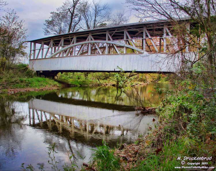
The Colvin Covered Bridge of Western Pennsylvania
The View from Lookout Point on Mt. Ararat in the Allegheny Mountains

Lincoln Highway U.S. 30 - Ligonier, PA to Bedford, PA
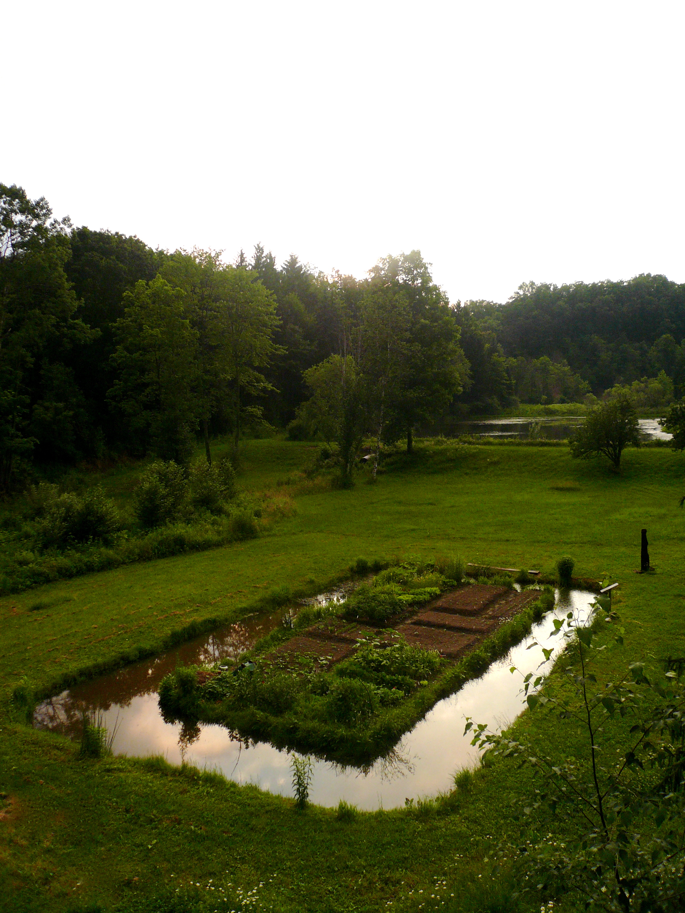
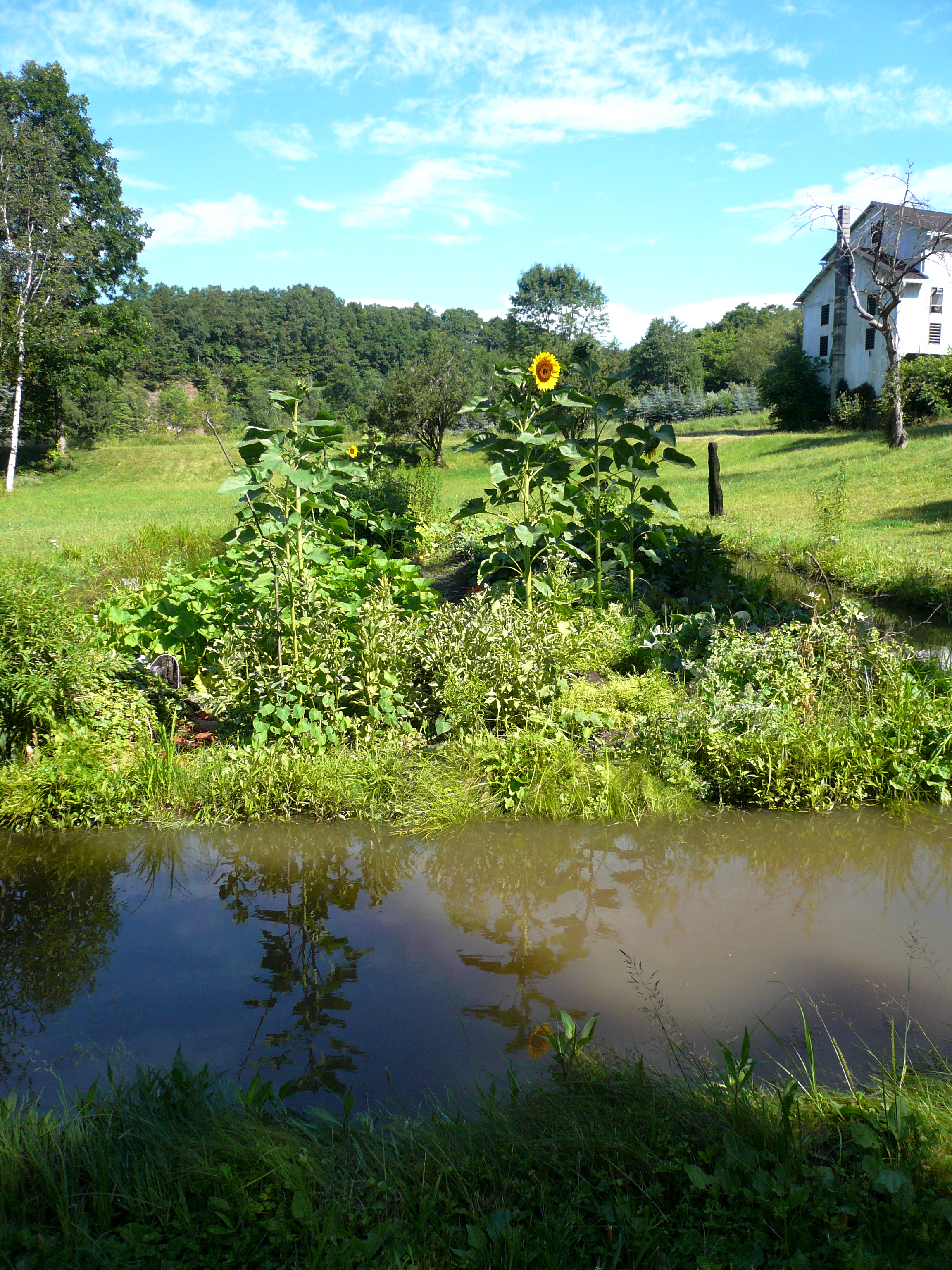
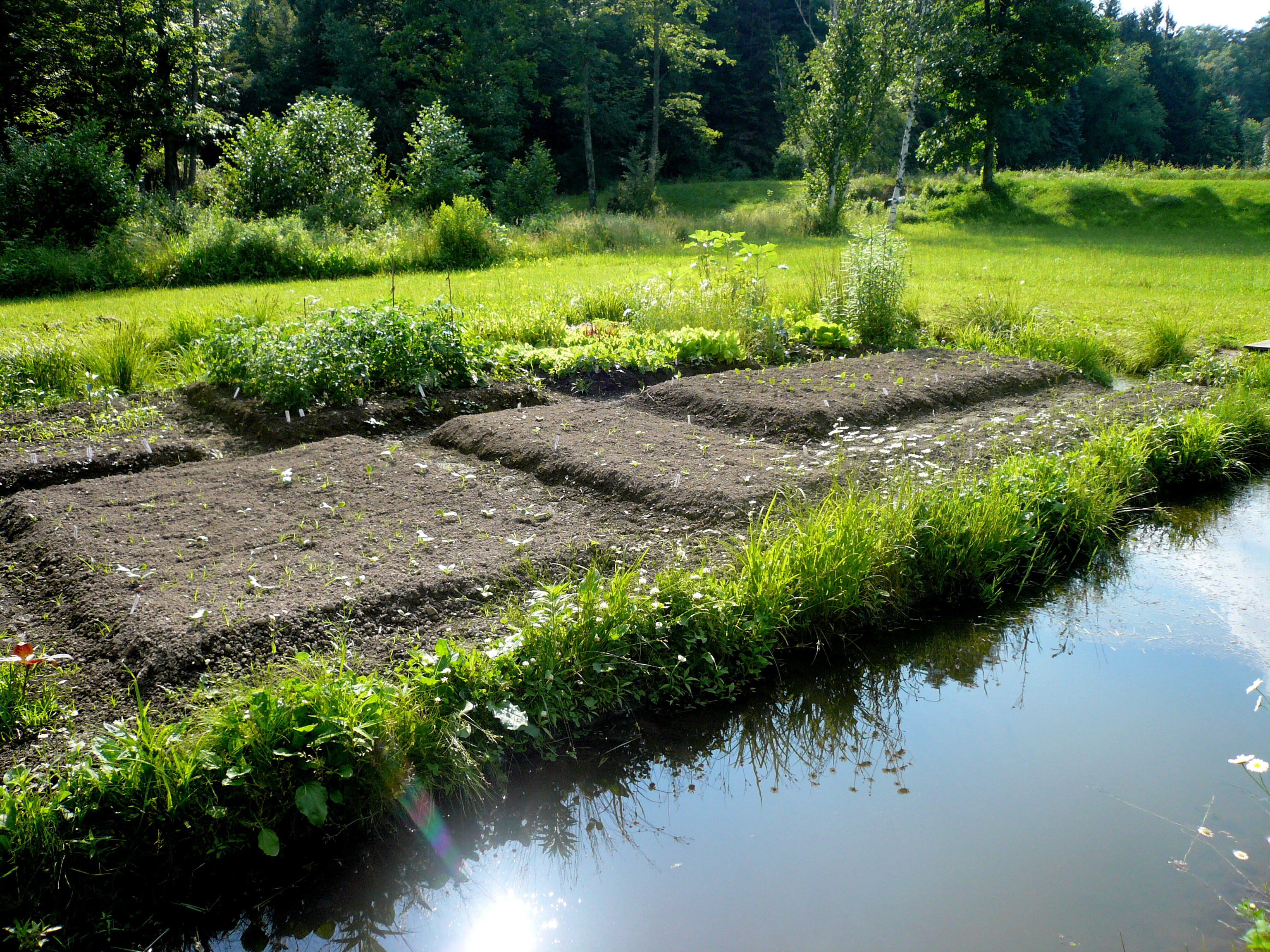
the garden from above, mid-june

Herline Bridge -- Bedford County, Pennsylvania
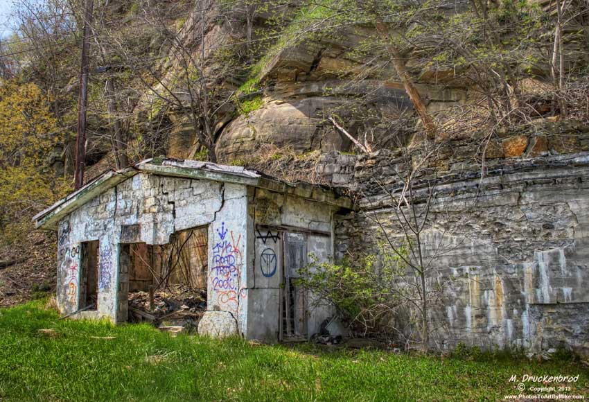
Grand View Point Service Station, Bedford Co. Pennsylvania
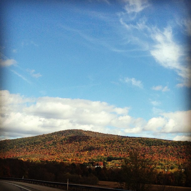
View from the road #PA #fallcolors #roadtrip

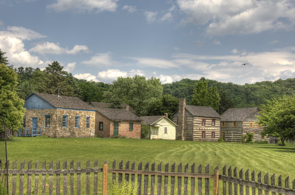
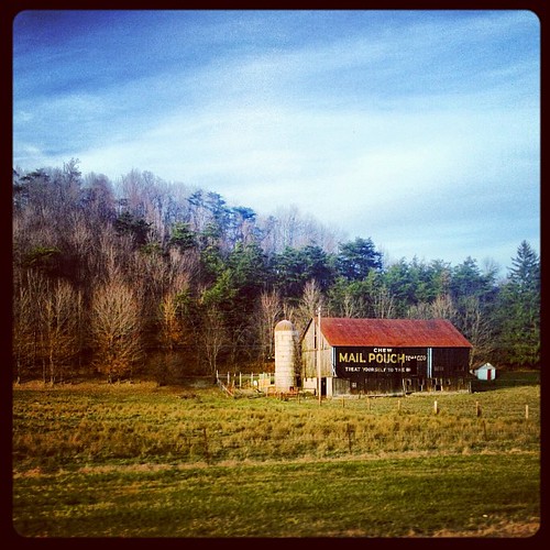
House and Barn -- Bedford County, Pennsylvania

Mt. Ararat

Bedford County, Pennsylvania
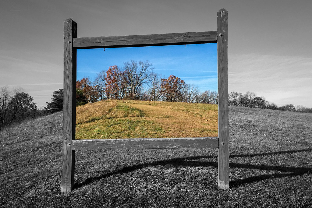
Bedford Views

Snook's Bridge -- Bedford County, Pennsylvania
Midway, PA turnpike, 1953
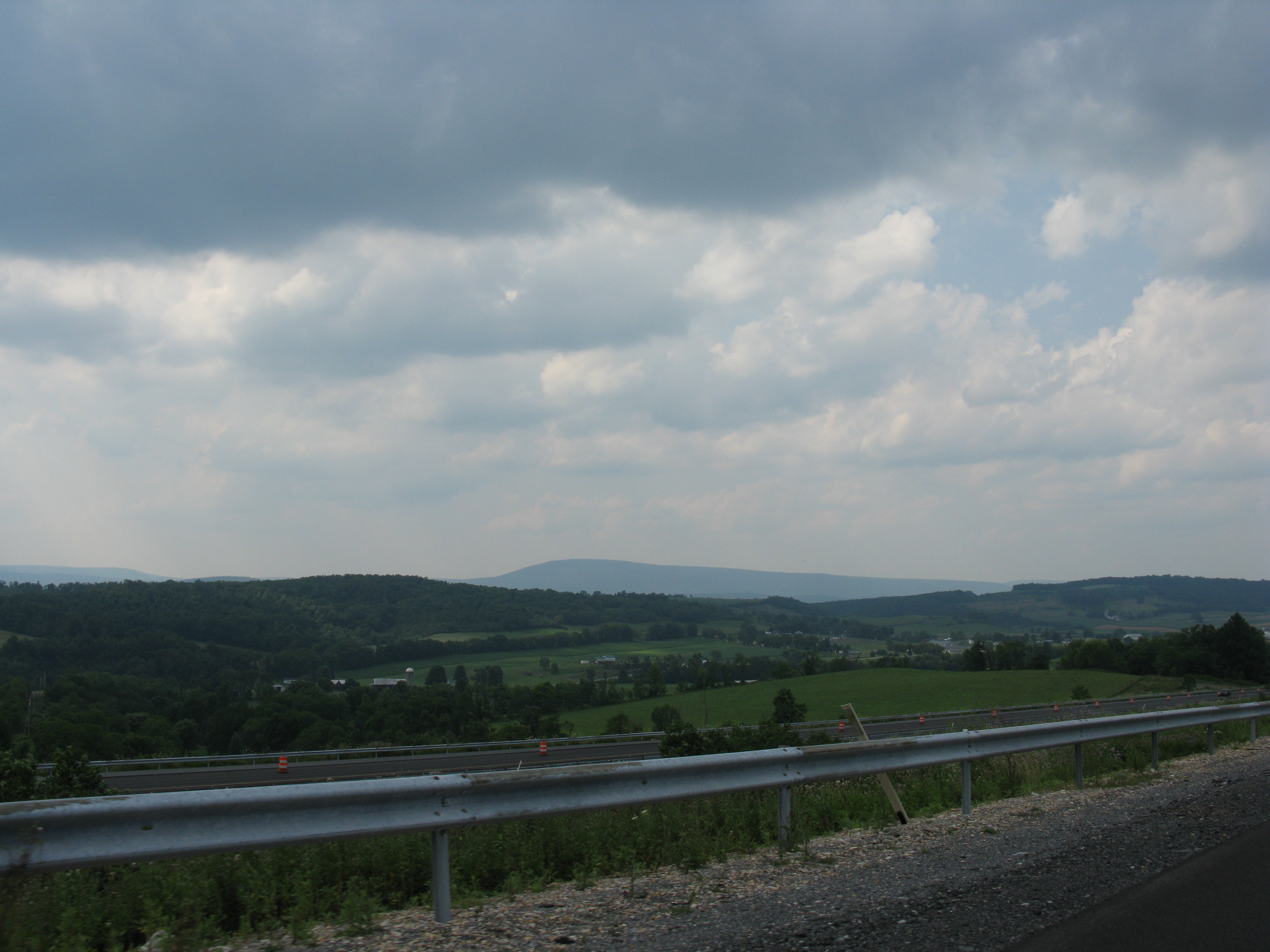
2008 07 26 - Imler - View from I99

Grandview Ship Hotel Mural

Mildred E. Stotler Committal - Casket
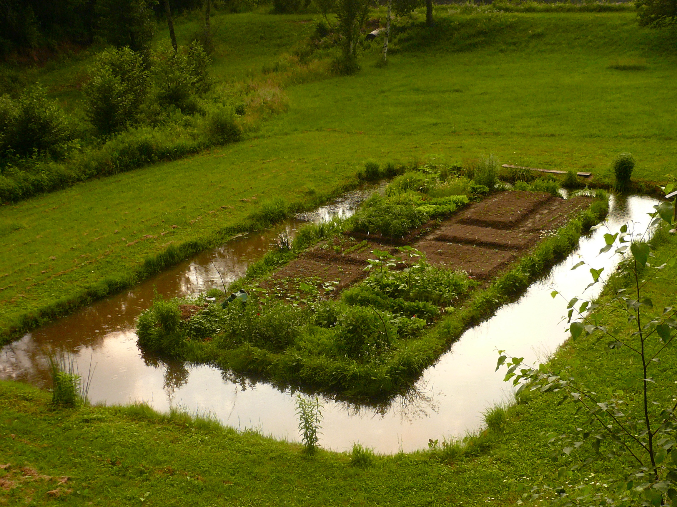
the garden from above, mid-june

Old Bedford Village Fort Art
All the Little Houses

Grand View Point Service Station, Bedford Co. PA
The Use of Color in Contemporary Landscape Photography
floating beneath the clouds

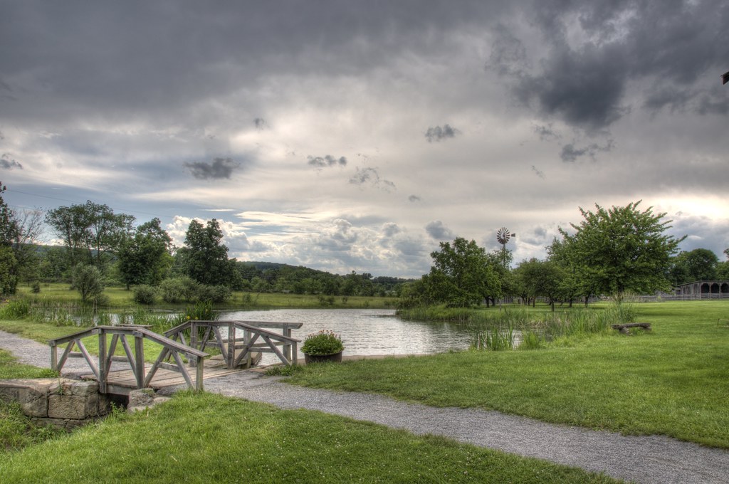
Storm clouds move in, reflected in the lake at Shawnee State Park, Pennsylvania.
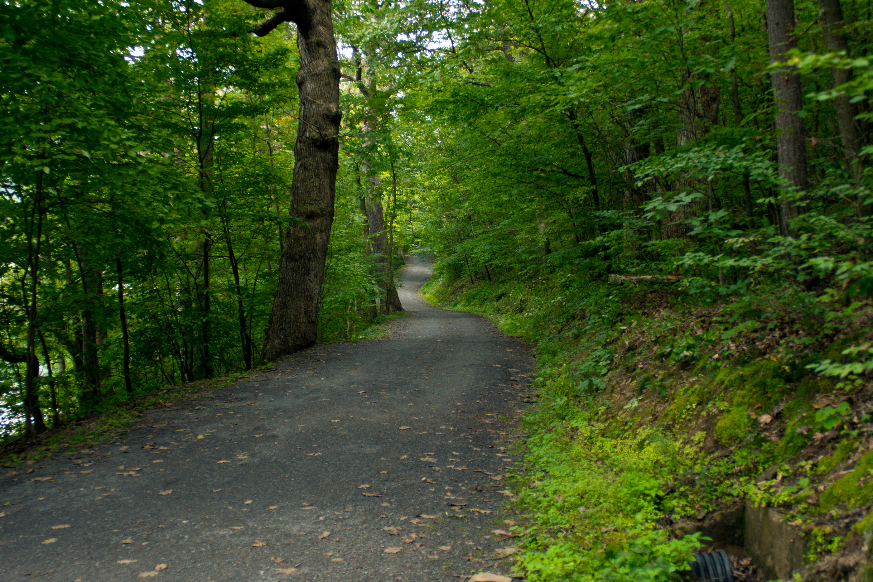
A wide bike path winds through forest at Shawnee State Park, Pennsylvania.
when the plants were babehs
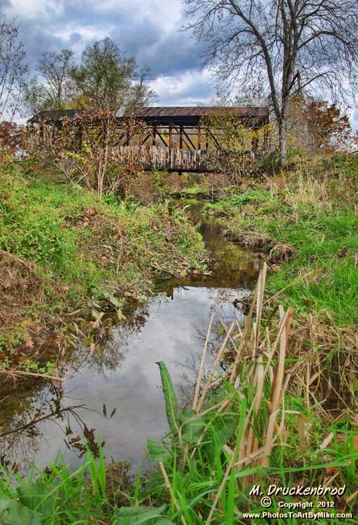
Cuppett Covered Bridge, spanning Dunnings Creek, Bedford County PA
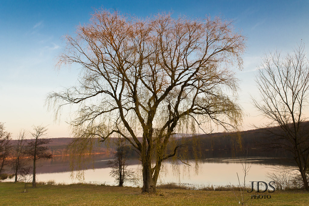
Shawnee State Park
Turner's Bridge, Bedford County, Pennsylvania
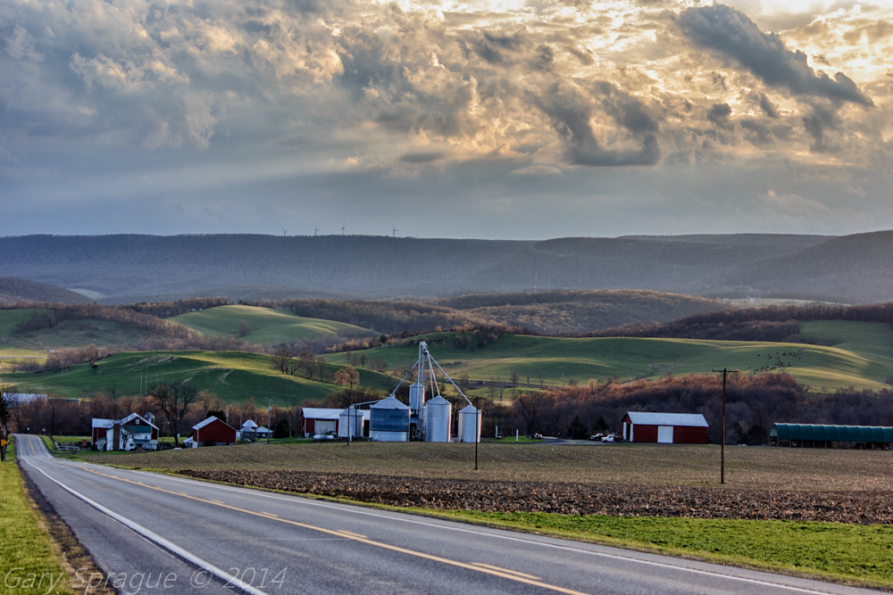
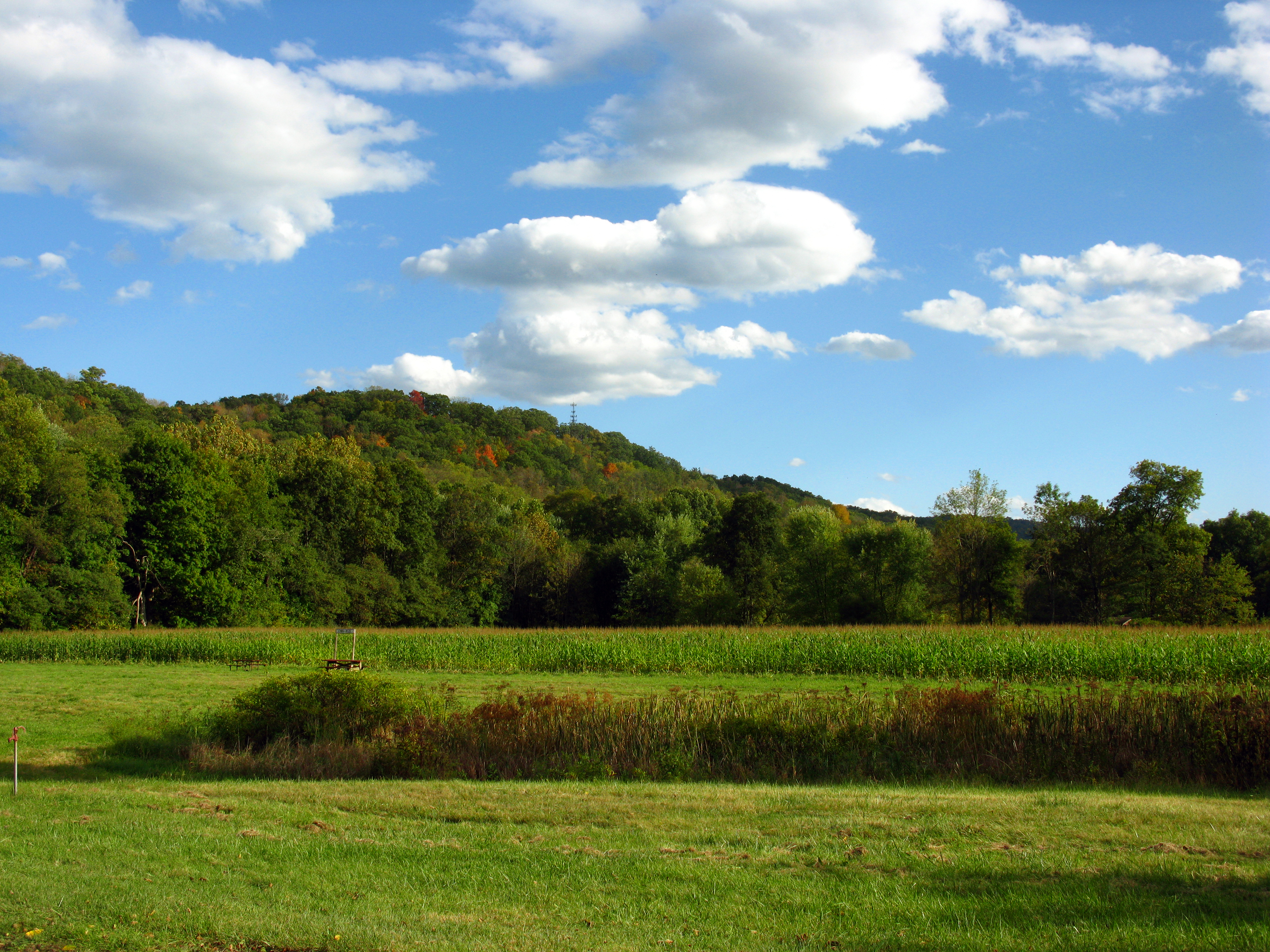
PA countryside
Pennsylvania's Laurel Highlands as seen from the Historical Lincoln Highway Rt30 W
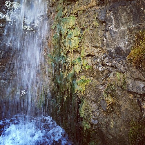
#spring #water #nature
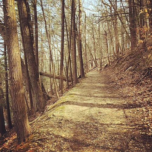
#trail #nature
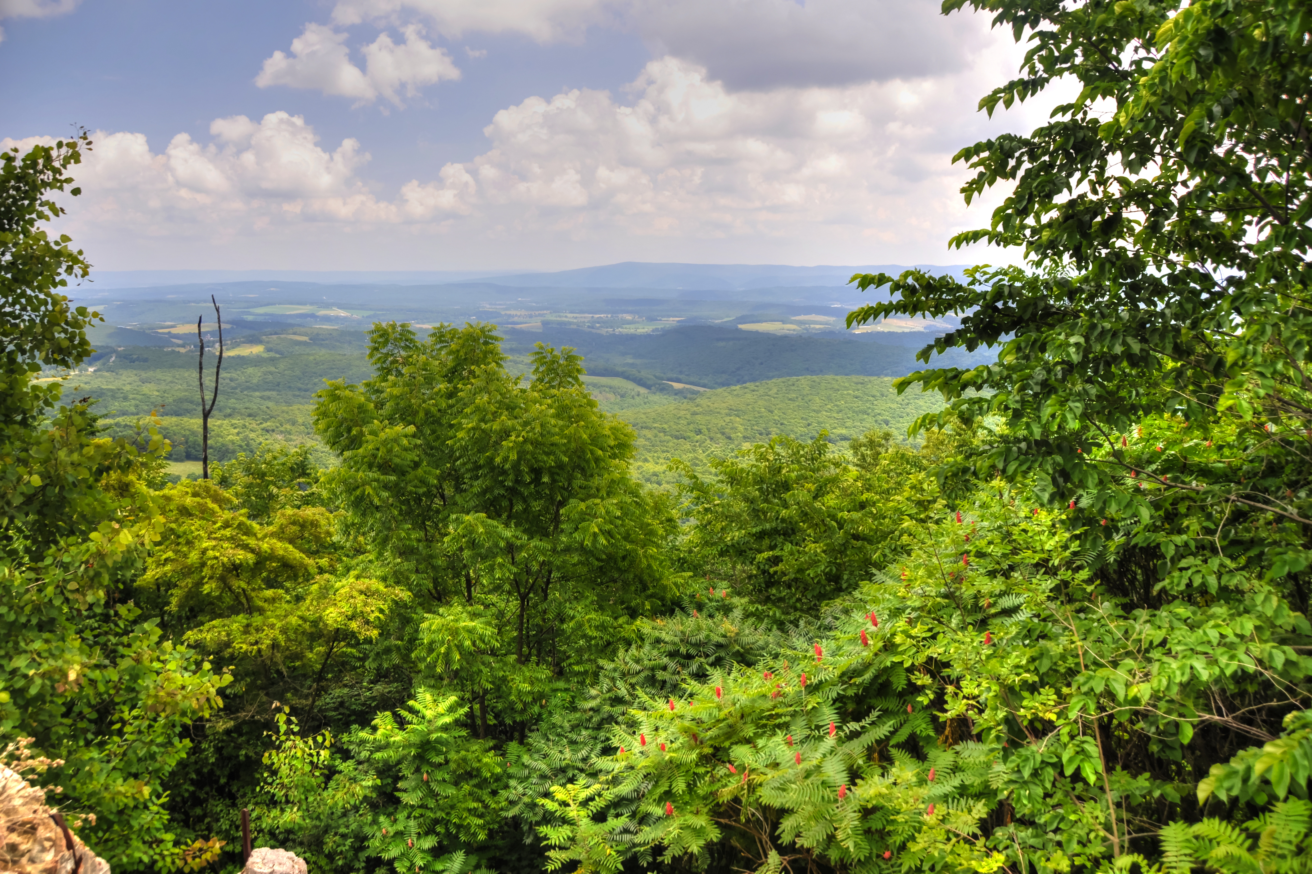
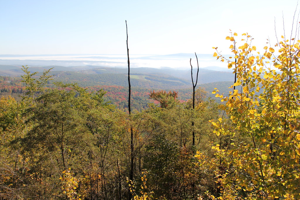
Lookout Point, Allegheny Mountains, Pennsylvania

Colvin Covered Bridge crossing Shawnee Creek in Bedford County, PA

2015-03-22 09.47.24
2009 10 03 - 09971 - Bedford - Old Bedford Village Corn Maze
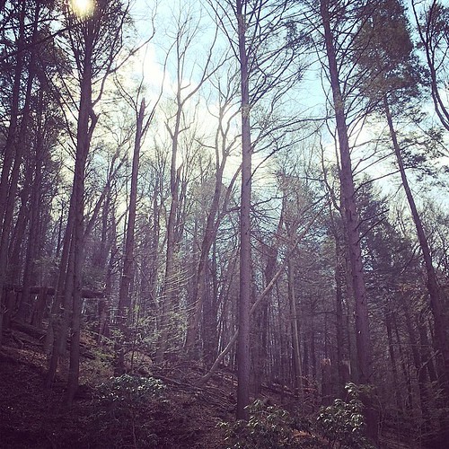
#trees #forrest #nature
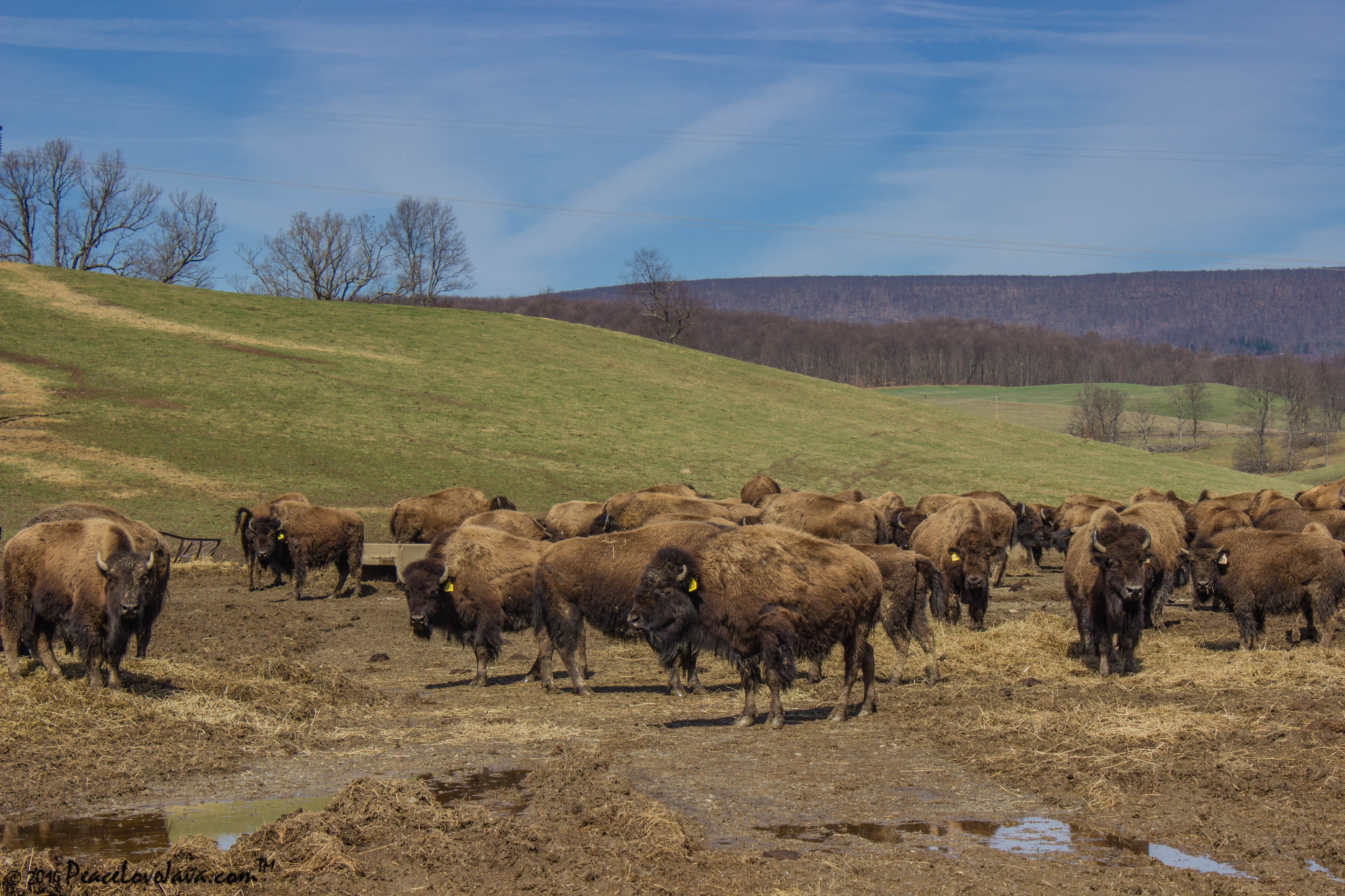
Where the Buffalo Roam

private beach
Topographic Map of Point Rd, Bedford, PA, USA
Find elevation by address:

Places near Point Rd, Bedford, PA, USA:
147 Sleepy Hollow Rd
719 Point Rd
126 Belgian Ln
Schellsburg
388 W Ridge Rd
120 Wolfsburg Rd
137 Arthur L Hershey Dr
Manns Choice
Bedford County
3564 Boozer Rd
530 W Pitt St
520 W Pitt St
2507 Cumberland Rd
Bedford
102 E Pitt St
Harrison Township
512 S Juliana St
Omni Bedford Springs Resort
Sweet Root Rd, Bedford, PA, USA
295 Union Rd
Recent Searches:
- Elevation of Corso Fratelli Cairoli, 35, Macerata MC, Italy
- Elevation of Tallevast Rd, Sarasota, FL, USA
- Elevation of 4th St E, Sonoma, CA, USA
- Elevation of Black Hollow Rd, Pennsdale, PA, USA
- Elevation of Oakland Ave, Williamsport, PA, USA
- Elevation of Pedrógão Grande, Portugal
- Elevation of Klee Dr, Martinsburg, WV, USA
- Elevation of Via Roma, Pieranica CR, Italy
- Elevation of Tavkvetili Mountain, Georgia
- Elevation of Hartfords Bluff Cir, Mt Pleasant, SC, USA