Elevation of Point Rd, Bedford, PA, USA
Location: United States > Pennsylvania > Bedford County > Napier Township >

Longitude: -78.582008

Latitude: 40.0518451

Elevation: 448m / 1470feet

Barometric Pressure: 96KPa

Elevation Map:

elevation map of Point Rd, Bedford, PA, USA
Satellite Map:

Satellite map of Point Rd, Bedford, PA, USA
Related Photos:

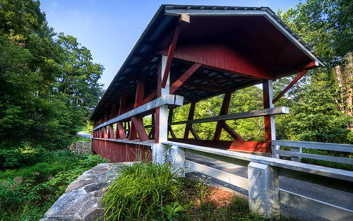
road county desktop bridge blue trees red wallpaper sky white green mill nature 30 creek bedford nikon pennsylvania historic tokina route covered western shawnee 1224mm hdr schellsburg colvin d90 photomatix shiller kingpost mattgranz
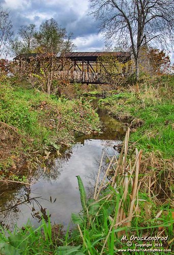
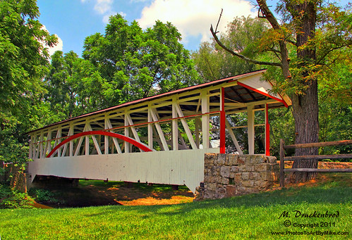
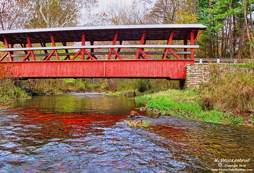
The Colvin Covered Bridge of Western Pennsylvania
lincolnhighway pennsylvania americana usa lincolnhighwayheritagecorridor
Site of former Grand View Ship Hotel -- along the Lincoln Highway in Schellsburg, PA
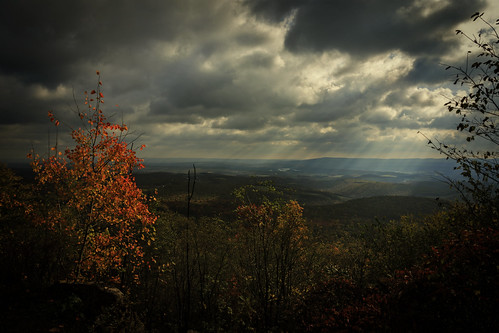
trees sun sunlight storm mountains rain weather clouds contrast bedford outdoors restaurant day ship shadows view cloudy pennsylvania side country scenic dramatic roadtrip hills pa rays distance beams lincolnhighway mtararat alleghenies shiphotel
Mt. Ararat
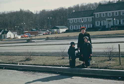
vacation kodachrome pennsylvaniaturnpike 1953 alliancetrailer midwayreststop i70i76
Midway, PA turnpike, 1953
action airplane altoona cityscape flying landscape lightning night pennsylvania skyscape spring storm sunset weather osterburg us cloud blair county bedford 10k plus astronomical event united states north america bedfordcounty astronomicalevent 10kplus unitedstates northamerica blaircounty
Somewhere Over Pennsylvania
park county leica cemetery 35mm bedford memorial pennsylvania pa summicron funeral m8 service asph milly mildred stotler committal summicron35mm leicam8 summicron35mmasph willstotler mildredestotler bedfordcountymemorialpark
Mildred E. Stotler Committal - Casket
county bridge red river bedford us photo kissing pentax pennsylvania interior picture historic pa covered juniata 5968 route31 mannschoice k10d burrtruss herline raystownbranch
Herline Bridge -- Bedford County, Pennsylvania
park county trees water bedford spring state pennsylvania pa shawnee
Shawnee in the Spring (IMGP3620)
pennsylvania pa lincolnhighway lookoutpoint mountararat schellsburgpennsylvania bedfordcountypa bedfordco paroute30 grandviewpointservicestation
Grand View Point Service Station, Bedford Co. Pennsylvania
square squareformat hefe iphoneography instagramapp uploaded:by=instagram foursquare:venue=4e7d209edab4fbe1c91c41a4
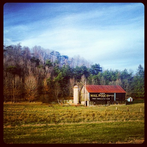
View from the road #PA #fallcolors #roadtrip
pennsylvania lincolnhighway lookoutpoint alleghenymountains mtararat usroute30
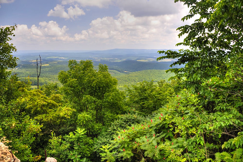
The View from Lookout Point on Mt. Ararat in the Allegheny Mountains
county bw abandoned barn rural bedford photo village pentax pennsylvania decay farm rustic picture pa homestead ruraldecay fallingdown ryot k10d 6001ed2
House and Barn -- Bedford County, Pennsylvania
county field barn bedford photo saturated pentax pennsylvania farm picture farmland pa k10d 7412ed2
Bedford County, Pennsylvania
bridge trees windmill bedford pond nikon pennsylvania pa trail handheld nikkor amateur hdr highdynamicrange 18thcentury d90 bedfordcounty photomatix bedfordvillage
Bedford Views
countryscenes pennsylvania bedfordcounty spring snooksbridge snooks covered bridge kissing dunning dunnings creek eaststclair twp township bedford county pa pleasantville historic structure photo picture pentax k10d 7375
Snook's Bridge -- Bedford County, Pennsylvania
roadside roadmap us30 schellsburg lincolnhighway jennerstown laurelridge lincolnway thecoffeepot grandviewpoint ligonierpa bedfordpa stoyestown lincolnldge grandviewsummit
Lincoln Highway U.S. 30 - Ligonier, PA to Bedford, PA
public topv111 mural roadtrip 2006 route30 lincolnhighway 200609 grandviewshiphotel waynefettromural takenbyjeffkubina
Grandview Ship Hotel Mural
usa mountains us unitedstates pennsylvania hills pa i99 imler
2008 07 26 - Imler - View from I99
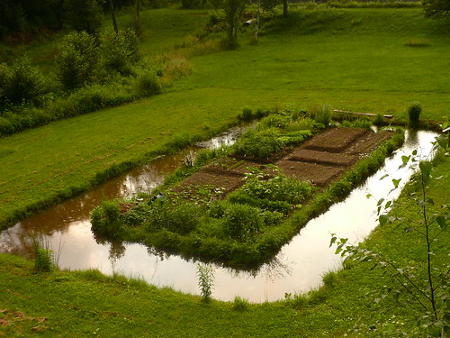
sunset food brown green water vegetables grass june garden landscape outdoors evening pennsylvania earth soil organic moat edible horticulture birdseyeview thefarm
the garden from above, mid-june
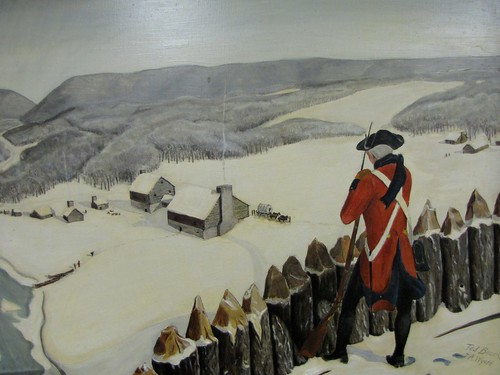
history rural painting country logcabin past oldfashioned sentry americanhistory ruralamerica watchman colonialvillage frenchandindianwar oldbedfordvillage 13colonies fortbedford forbesroad
Old Bedford Village Fort Art
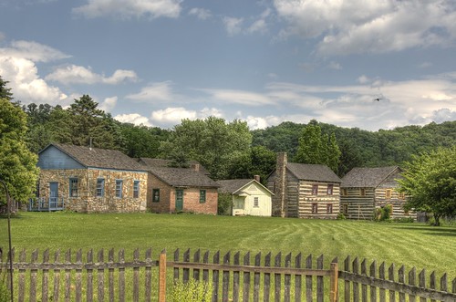
houses field clouds fence buildings bedford nikon pennsylvania pa handheld nikkor amateur hdr highdynamicrange 18thcentury d90 bedfordcounty photomatix bedfordvillage
All the Little Houses
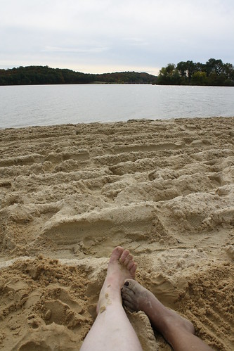
park lake fall beach sand state pennsylvania pa shawnee deserted schellsburg
private beach
us unitedstates pennsylvania roadtrip schellsburg
IMG_1022.jpg
trees plants art grass unitedstates pennsylvania phones iphone shawneestatepark appleiphone iphone6 appleiphone6
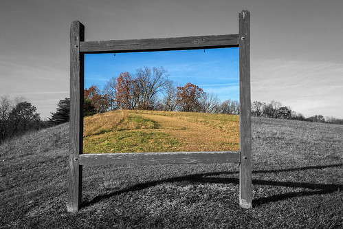
The Use of Color in Contemporary Landscape Photography
park autumn sunset lake tree fall water colors canon landscape pa t3 lightroom westernpennsylvania shawneestatepark
Shawnee State Park
autumn fall rural landscape pennsylvania country scenic pa coveredbridge bedfordcounty landscapephotograph bedfordco turner’scoveredbridge burrtrussbridge
Turner's Bridge, Bedford County, Pennsylvania
nature landscape spring pretty unitedstates pennsylvania explorer roadtrip pa napier schellsburg greenplanet bedfordcounty ventureoutdoors canon60d garysprague explorepa rurelliving newkensingtoncameraclub schellensburg
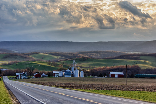
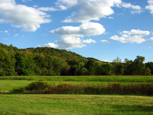
Pennsylvania's Laurel Highlands as seen from the Historical Lincoln Highway Rt30 W
rural landscape pennsylvania country scenic pa coveredbridge historicbridge bedfordcounty dunningscreek cuppettcoveredbridge
Cuppett Covered Bridge, spanning Dunnings Creek, Bedford County PA
square squareformat hudson iphoneography instagramapp uploaded:by=instagram foursquare:venue=4e46b7c07d8b91a06592b678
PA countryside
square squareformat rise iphoneography instagramapp uploaded:by=instagram foursquare:venue=4b49472ff964a520386c26e3
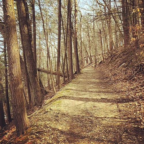
#trail #nature
shawnee state park pennsylvania storm clouds lake reflection mirror penn pa visitpaparks
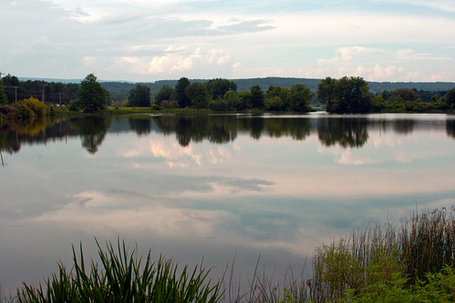
Storm clouds move in, reflected in the lake at Shawnee State Park, Pennsylvania.
2015-03-22 09.47.24
square squareformat hudson iphoneography instagramapp uploaded:by=instagram foursquare:venue=4b49472ff964a520386c26e3
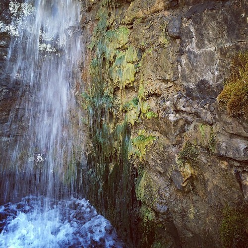
#spring #water #nature
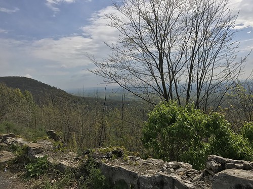
mountains point landscape pennsylvania lookout penn allegheny lookoutpoint alleghenymountains
Lookout Point, Allegheny Mountains, Pennsylvania
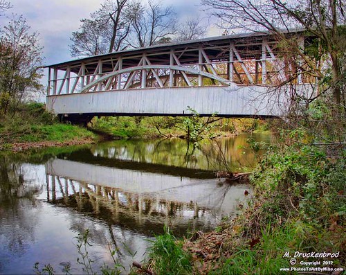
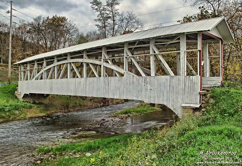
rural landscape pennsylvania country scenic pa coveredbridge schellsburg historicbridge bedfordcounty colvincoveredbridge multiplekingpostbridge
Colvin Covered Bridge crossing Shawnee Creek in Bedford County, PA
usa bedford us unitedstates pennsylvania pa bedfordcounty bedfordtownship oldbedfordvillage cornmazes
2009 10 03 - 09971 - Bedford - Old Bedford Village Corn Maze
autumn fall rural landscape pennsylvania country scenic pa coveredbridge historicbridge bedfordcounty osterburg bedfordco bowsercoveredbridge burrtrussbridge
Bowser Covered Bridge spanning Bob's Creek, Osterburg Pennsylvania
river landscape pennsylvania scenic pa coveredbridge historicbridge bedfordcounty bedfordcountypa landscapephotograph drkniselycoveredbridge drknisely
Dr. Knisely Covered Bridge in Bedford Co. PA
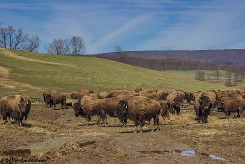
us buffalo unitedstates pennsylvania bison lincolnhighway bedfordcounty thebisoncorral napiertwp
Where the Buffalo Roam
square squareformat amaro iphoneography instagramapp uploaded:by=instagram foursquare:venue=4b49472ff964a520386c26e3
#trees #forrest #nature
trees plants sun storm wet water vegetables rain clouds barn garden aftermath flooding mud flood pennsylvania july bluesky soil sunflowers waterlogged
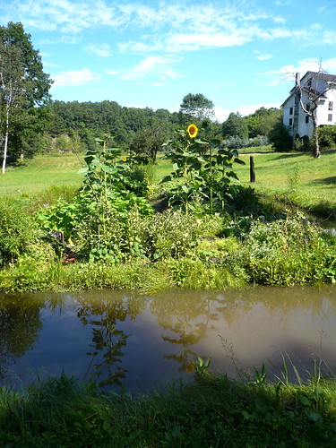
floating beneath the clouds