Elevation of Plum Grove, NE, USA
Location: United States > Nebraska > Pierce County >
Longitude: -97.5463885
Latitude: 42.4006484
Elevation: 533m / 1749feet
Barometric Pressure: 0KPa
Related Photos:

A Light From Above
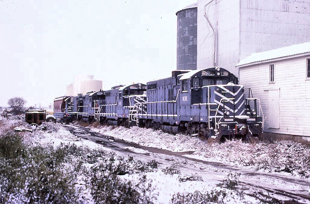
Nebraska Central GP-8
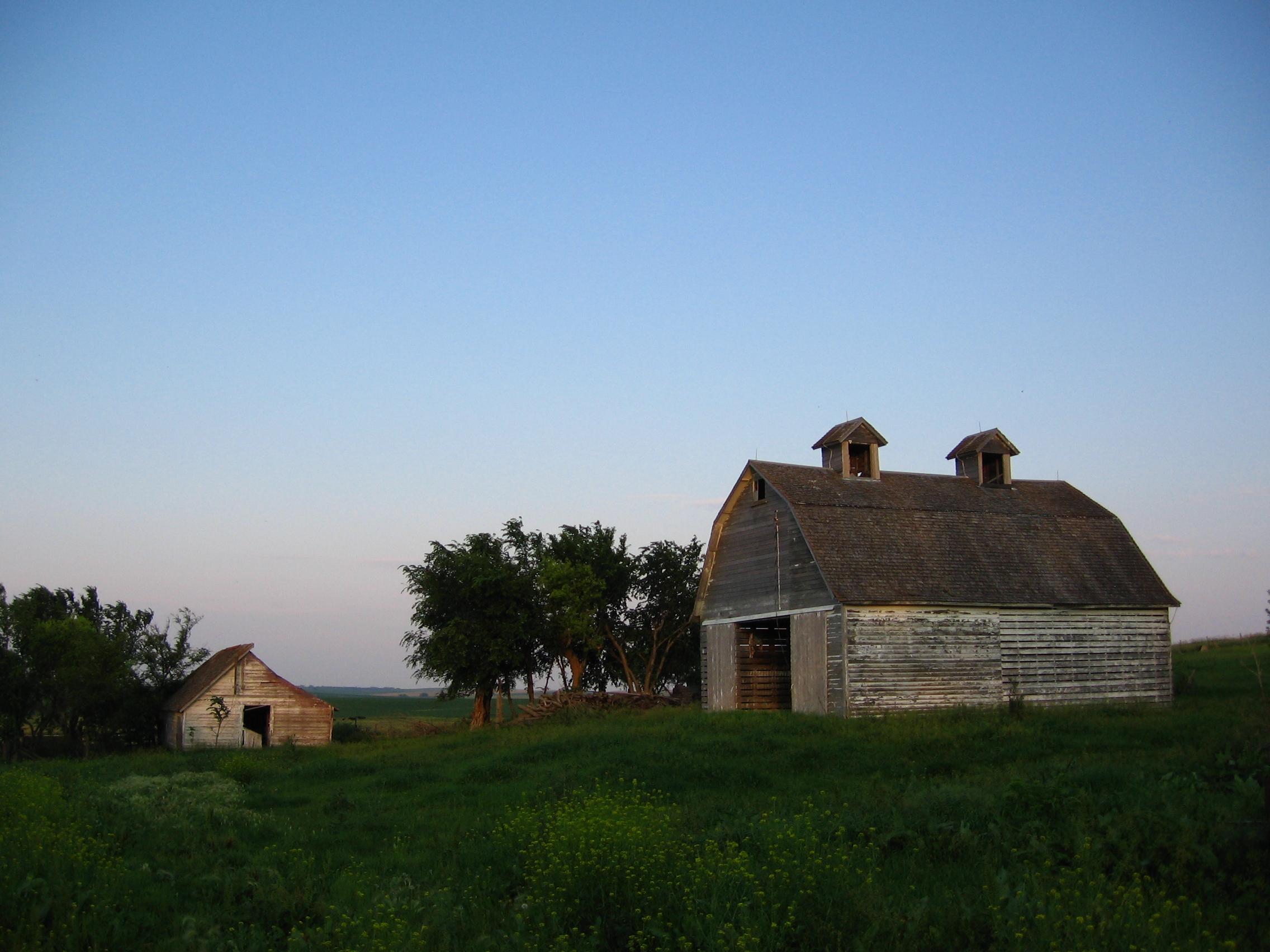
Family Farm
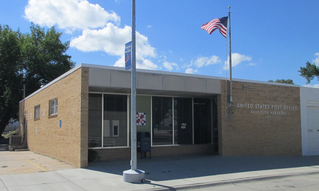
Post Office 68771 (Randolph, Nebraska)
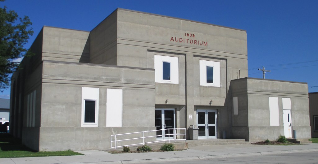
City Auditorium (Randolph, Nebraska)
Topographic Map of Plum Grove, NE, USA
Find elevation by address:

Places in Plum Grove, NE, USA:
Places near Plum Grove, NE, USA:
N State St, Osmond, NE, USA
Osmond
Pierce County
Randolph
Pierce Public Library
Pierce
Belden
Coleridge
Deer Creek
Creighton
Main St, Creighton, NE, USA
Carroll
Wayne County
Cedar County
Knox County
Bow Valley
Laurel
Lake Yankton
U.s. 20
52560 856th Rd
Recent Searches:
- Elevation of 10370, West 107th Circle, Westminster, Jefferson County, Colorado, 80021, USA
- Elevation of 611, Roman Road, Old Ford, Bow, London, England, E3 2RW, United Kingdom
- Elevation of 116, Beartown Road, Underhill, Chittenden County, Vermont, 05489, USA
- Elevation of Window Rock, Colfax County, New Mexico, 87714, USA
- Elevation of 4807, Rosecroft Street, Kempsville Gardens, Virginia Beach, Virginia, 23464, USA
- Elevation map of Matawinie, Quebec, Canada
- Elevation of Sainte-Émélie-de-l'Énergie, Matawinie, Quebec, Canada
- Elevation of Rue du Pont, Sainte-Émélie-de-l'Énergie, Matawinie, Quebec, J0K2K0, Canada
- Elevation of 8, Rue de Bécancour, Blainville, Thérèse-De Blainville, Quebec, J7B1N2, Canada
- Elevation of Wilmot Court North, 163, University Avenue West, Northdale, Waterloo, Region of Waterloo, Ontario, N2L6B6, Canada
- Elevation map of Panamá Province, Panama
- Elevation of Balboa, Panamá Province, Panama
- Elevation of San Miguel, Balboa, Panamá Province, Panama
- Elevation of Isla Gibraleón, San Miguel, Balboa, Panamá Province, Panama
- Elevation of 4655, Krischke Road, Schulenburg, Fayette County, Texas, 78956, USA
- Elevation of Carnegie Avenue, Downtown Cleveland, Cleveland, Cuyahoga County, Ohio, 44115, USA
- Elevation of Walhonding, Coshocton County, Ohio, USA
- Elevation of Clifton Down, Clifton, Bristol, City of Bristol, England, BS8 3HU, United Kingdom
- Elevation map of Auvergne-Rhône-Alpes, France
- Elevation map of Upper Savoy, Auvergne-Rhône-Alpes, France