Elevation of Main St, Creighton, NE, USA
Location: United States > Nebraska > Knox County > Creighton >
Longitude: -97.9077432
Latitude: 42.4665542
Elevation: 500m / 1640feet
Barometric Pressure: 0KPa
Related Photos:

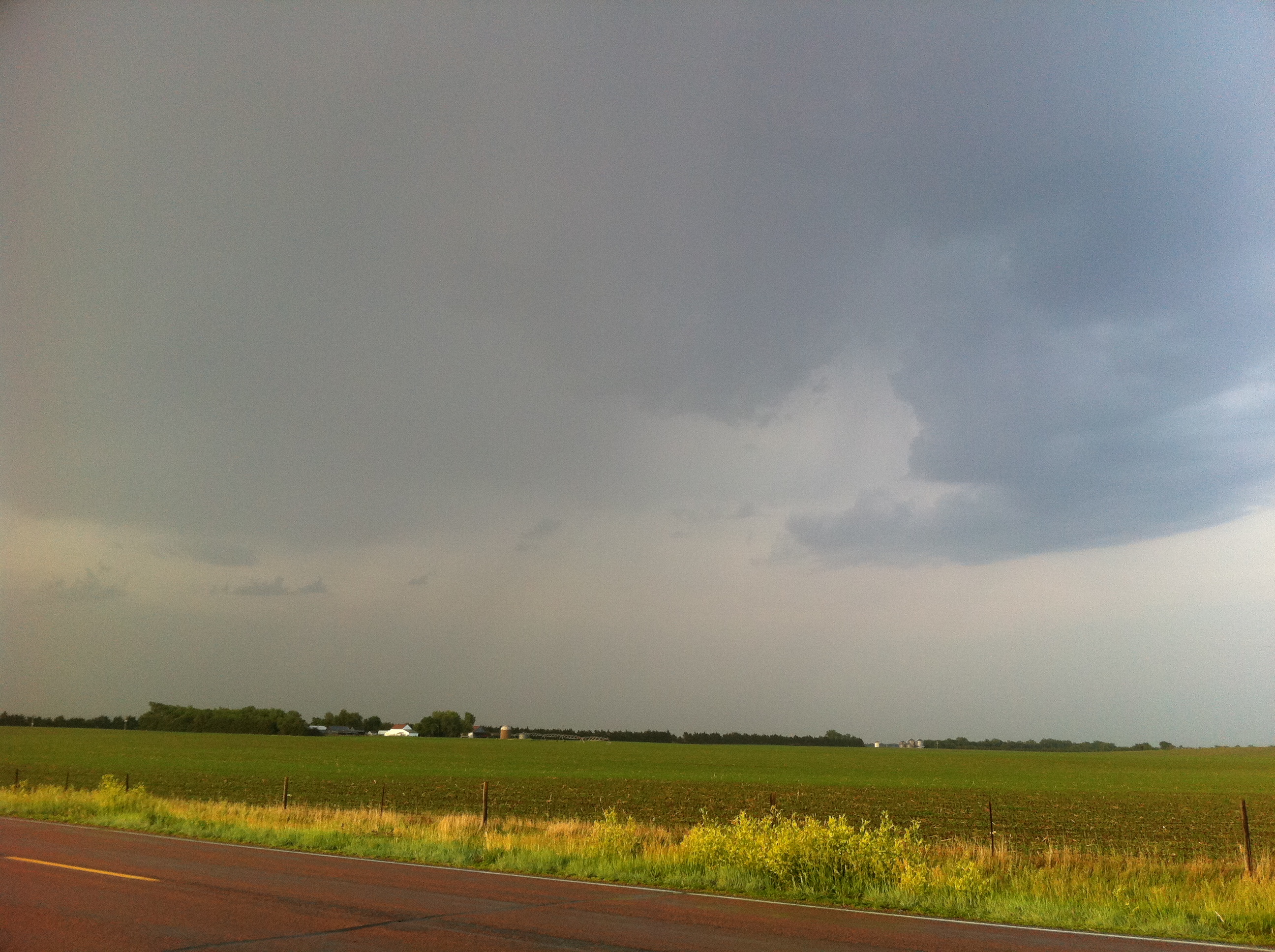
Wake up call!
IMG_2630

Clowns 2

Clowns 1

Tire Snowman
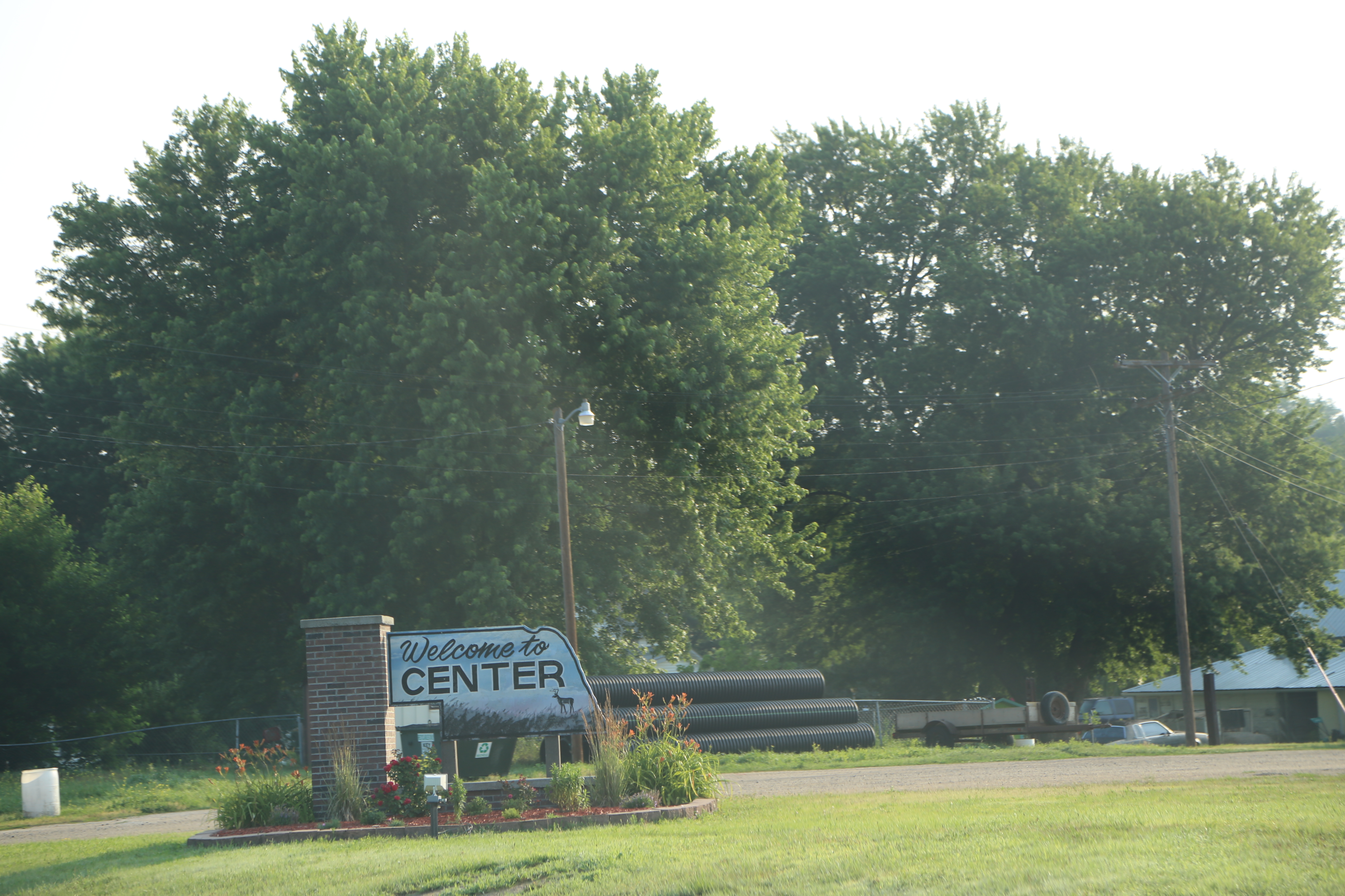
Center Nebraska, Knox County NE
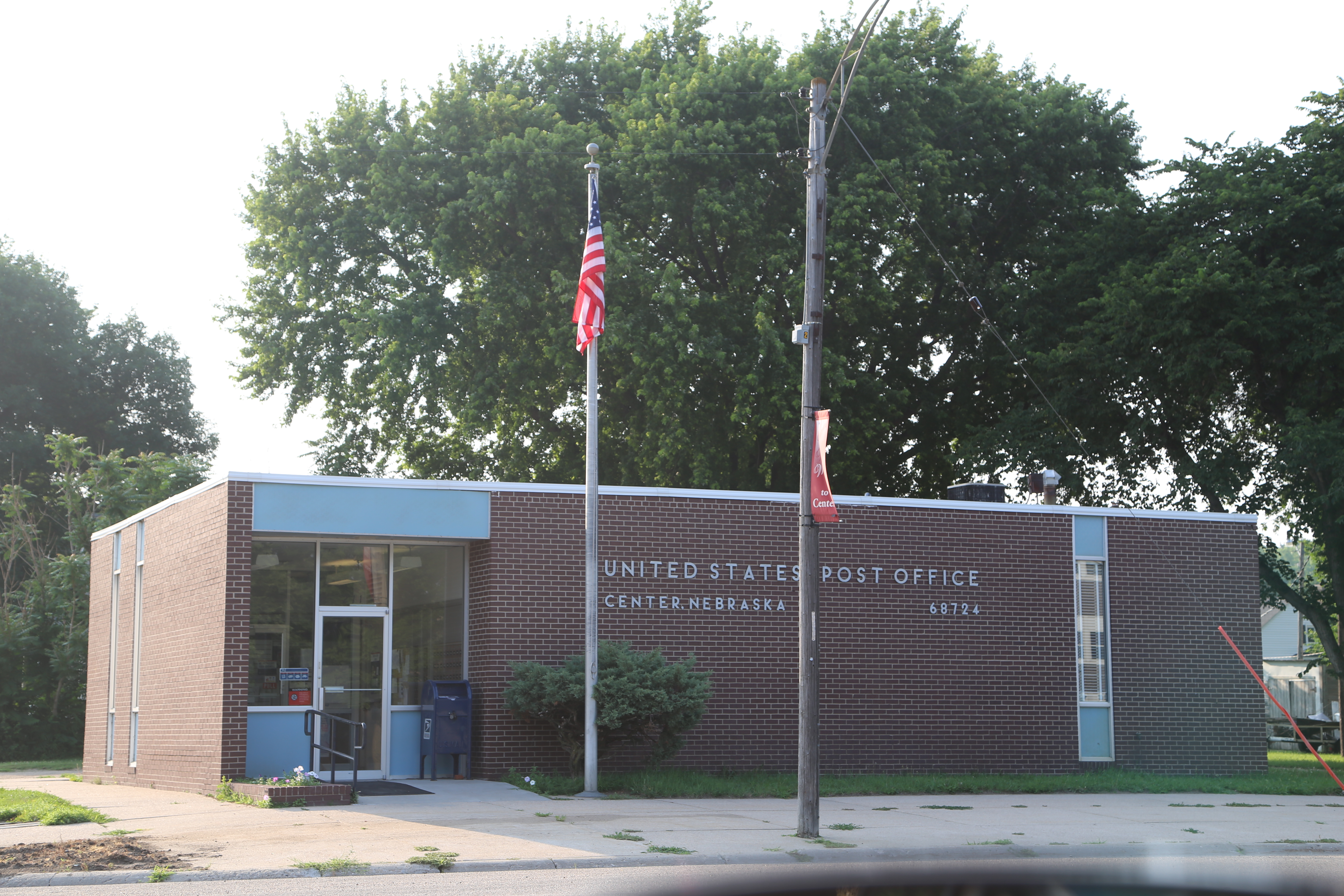
Center Nebraska, Post Office, 68724, Knox County NE
Topographic Map of Main St, Creighton, NE, USA
Find elevation by address:

Places near Main St, Creighton, NE, USA:
Creighton
Verdigre
Verdigre
305 3rd Ave
301 S Main St
301 S Main St
301 S Main St
Knox County
52560 856th Rd
52450 Ne-12
Antelope County
Park Ave, Niobrara, NE, USA
N State St, Osmond, NE, USA
Osmond
52001 891 Rd
Orchard
Plum Grove
Garfield
Springfield
Southwest Bon Homme
Recent Searches:
- Elevation map of Greenland, Greenland
- Elevation of Sullivan Hill, New York, New York, 10002, USA
- Elevation of Morehead Road, Withrow Downs, Charlotte, Mecklenburg County, North Carolina, 28262, USA
- Elevation of 2800, Morehead Road, Withrow Downs, Charlotte, Mecklenburg County, North Carolina, 28262, USA
- Elevation of Yangbi Yi Autonomous County, Yunnan, China
- Elevation of Pingpo, Yangbi Yi Autonomous County, Yunnan, China
- Elevation of Mount Malong, Pingpo, Yangbi Yi Autonomous County, Yunnan, China
- Elevation map of Yongping County, Yunnan, China
- Elevation of North 8th Street, Palatka, Putnam County, Florida, 32177, USA
- Elevation of 107, Big Apple Road, East Palatka, Putnam County, Florida, 32131, USA
- Elevation of Jiezi, Chongzhou City, Sichuan, China
- Elevation of Chongzhou City, Sichuan, China
- Elevation of Huaiyuan, Chongzhou City, Sichuan, China
- Elevation of Qingxia, Chengdu, Sichuan, China
- Elevation of Corso Fratelli Cairoli, 35, Macerata MC, Italy
- Elevation of Tallevast Rd, Sarasota, FL, USA
- Elevation of 4th St E, Sonoma, CA, USA
- Elevation of Black Hollow Rd, Pennsdale, PA, USA
- Elevation of Oakland Ave, Williamsport, PA, USA
- Elevation of Pedrógão Grande, Portugal