Elevation of Deer Creek, NE, USA
Location: United States > Nebraska > Wayne County >
Longitude: -97.2005806
Latitude: 42.3054375
Elevation: 509m / 1670feet
Barometric Pressure: 0KPa
Related Photos:

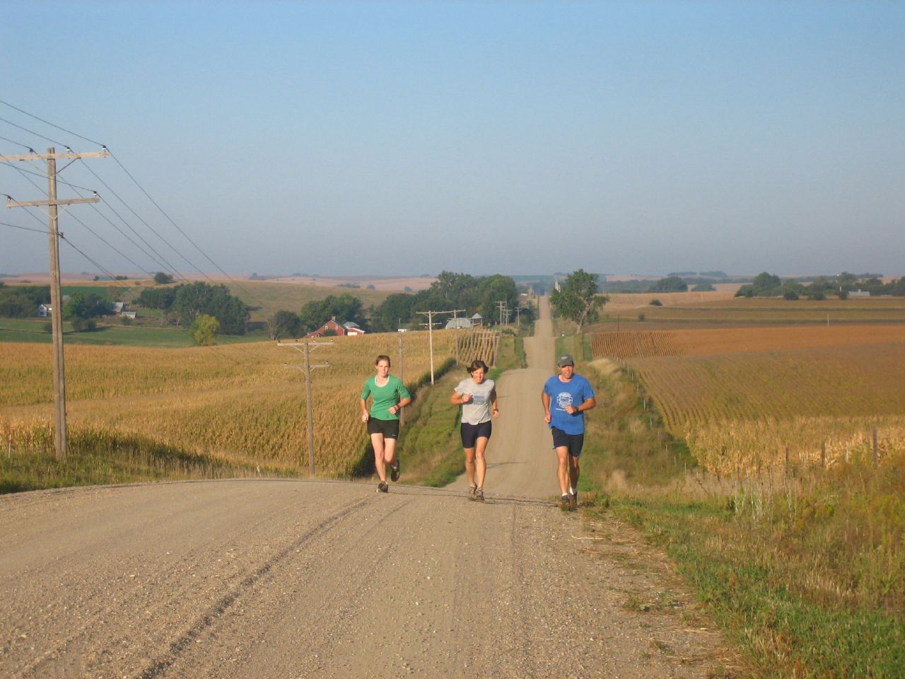
Nebraska 064

Nebraska 081

Nebraska 065

Nebraska 079

Nebraska 082

Nebraska 078

Nebraska 061

Nebraska 074

Nebraska 080

Nebraska 058

Nebraska 057

Nebraska 077

Nebraska 050

Nebraska 075

Nebraska 046

Nebraska 089

Nebraska 060

Nebraska 068

Nebraska 085
Nebraska 048

Nebraska 086

Cornfields of Nebraska

Cornfields near Winside, Nebraska

Nebraska 063

Nebraska 069
Topographic Map of Deer Creek, NE, USA
Find elevation by address:

Places in Deer Creek, NE, USA:
Places near Deer Creek, NE, USA:
Carroll
Wayne County
Belden
Laurel
Randolph
U.s. 20
Coleridge
Laurel, NE, USA
Cedar County
Pierce County
Pierce
Pierce Public Library
Plum Grove
Osmond
N State St, Osmond, NE, USA
Bow Valley
88910 573 Ave
Wynot
44732 Sd-50
Merchant St, Gayville, SD, USA
Recent Searches:
- Elevation of 908, Northwood Drive, Bridge Field, Chesapeake, Virginia, 23322, USA
- Elevation map of Nagano Prefecture, Japan
- Elevation of 587, Bascule Drive, Oakdale, Stanislaus County, California, 95361, USA
- Elevation of Stadion Wankdorf, Sempachstrasse, Breitfeld, Bern, Bern-Mittelland administrative district, Bern, 3014, Switzerland
- Elevation of Z024, 76, Emil-von-Behring-Straße, Marbach, Marburg, Landkreis Marburg-Biedenkopf, Hesse, 35041, Germany
- Elevation of Gaskill Road, Hunts Cross, Liverpool, England, L24 9PH, United Kingdom
- Elevation of Speke, Liverpool, England, L24 9HD, United Kingdom
- Elevation of Seqirus, 475, Green Oaks Parkway, Holly Springs, Wake County, North Carolina, 27540, USA
- Elevation of Pasing, Munich, Bavaria, 81241, Germany
- Elevation of 24, Auburn Bay Crescent SE, Auburn Bay, Calgary, Alberta, T3M 0A6, Canada
- Elevation of Denver, 2314, Arapahoe Street, Five Points, Denver, Colorado, 80205, USA
- Elevation of Community of the Beatitudes, 2924, West 43rd Avenue, Sunnyside, Denver, Colorado, 80211, USA
- Elevation map of Litang County, Sichuan, China
- Elevation map of Madoi County, Qinghai, China
- Elevation of 3314, Ohio State Route 114, Payne, Paulding County, Ohio, 45880, USA
- Elevation of Sarahills Drive, Saratoga, Santa Clara County, California, 95070, USA
- Elevation of Town of Bombay, Franklin County, New York, USA
- Elevation of 9, Convent Lane, Center Moriches, Suffolk County, New York, 11934, USA
- Elevation of Saint Angelas Convent, 9, Convent Lane, Center Moriches, Suffolk County, New York, 11934, USA
- Elevation of 131st Street Southwest, Mukilteo, Snohomish County, Washington, 98275, USA