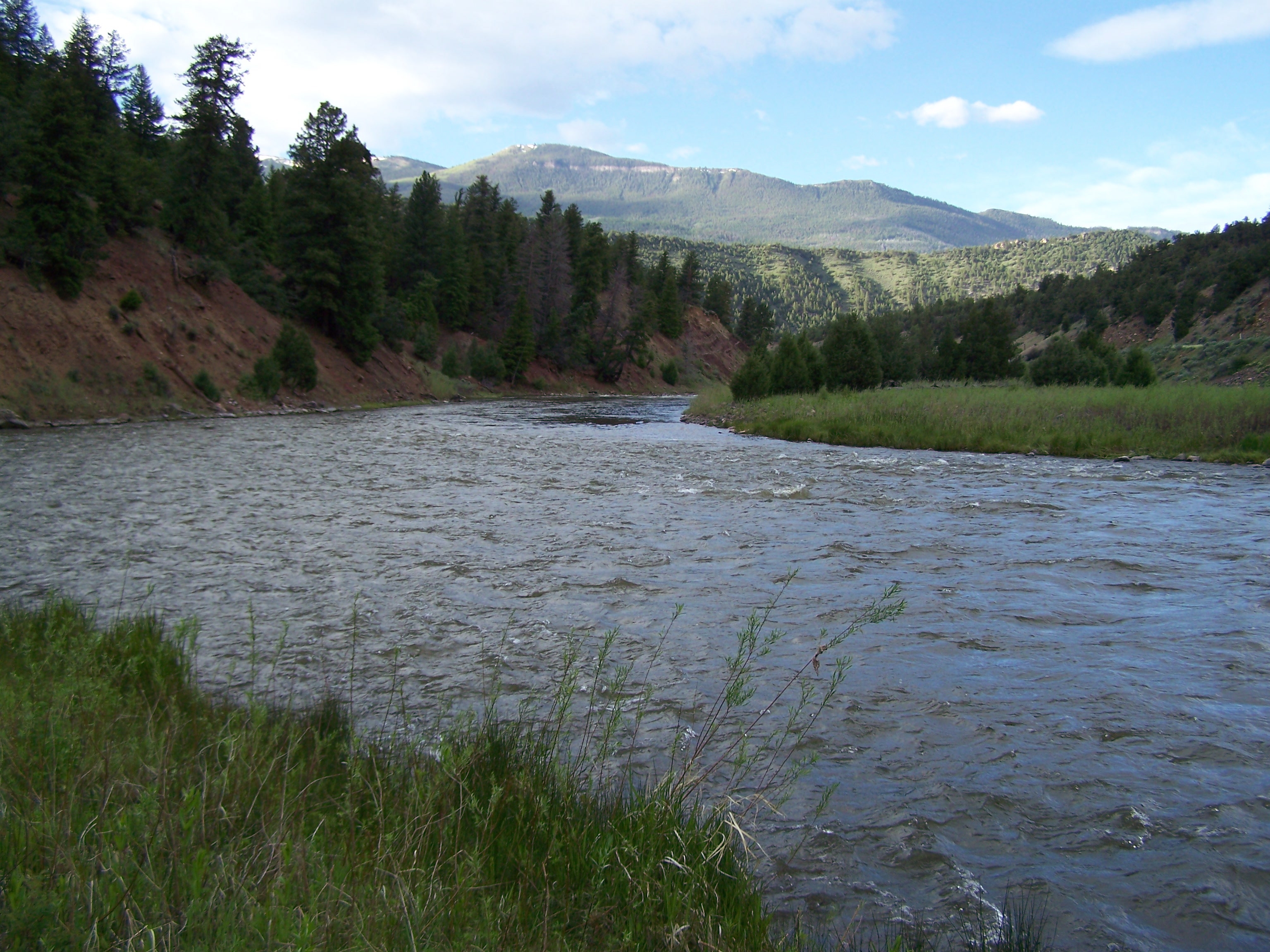
Elevation of Pisgah Mountain, Colorado, USA
Location: United States > Colorado > Mccoy >
Longitude: -106.76726
Latitude: 39.8747093
Elevation: 2641m / 8665feet
Barometric Pressure: 73KPa
Elevation Map:
Satellite Map:
Related Photos:

Feather Cloud
The Island
Topographic Map of Pisgah Mountain, Colorado, USA
Find elevation by address:

Places near Pisgah Mountain, Colorado, USA:
Mccoy
Bond
Copper Spur Rd, Bond, CO, USA
Yarmony Mountain
King Mountain East
Toponas
Wolcott
Red Sky Ranch And Golf Club
Bellyache Ridge West
5804 Bellyache Ridge Rd
5804 Bellyache Ridge Rd
Eagle
4548 Bellyache Ridge Rd
1180 Capitol St
2585 Old Brush Creek Rd
Eagle Ranch Golf Course
160 Palmer Loop
148 Bunkhouse Pl
14 Camp Fancy Spur
117 Norgaard Rd
Recent Searches:
- Elevation of Corso Fratelli Cairoli, 35, Macerata MC, Italy
- Elevation of Tallevast Rd, Sarasota, FL, USA
- Elevation of 4th St E, Sonoma, CA, USA
- Elevation of Black Hollow Rd, Pennsdale, PA, USA
- Elevation of Oakland Ave, Williamsport, PA, USA
- Elevation of Pedrógão Grande, Portugal
- Elevation of Klee Dr, Martinsburg, WV, USA
- Elevation of Via Roma, Pieranica CR, Italy
- Elevation of Tavkvetili Mountain, Georgia
- Elevation of Hartfords Bluff Cir, Mt Pleasant, SC, USA