Elevation of Yarmony Mountain, Colorado, USA
Location: United States > Colorado > Bond >
Longitude: -106.64031
Latitude: 39.9133202
Elevation: 2857m / 9373feet
Barometric Pressure: 71KPa
Elevation Map:
Satellite Map:
Related Photos:

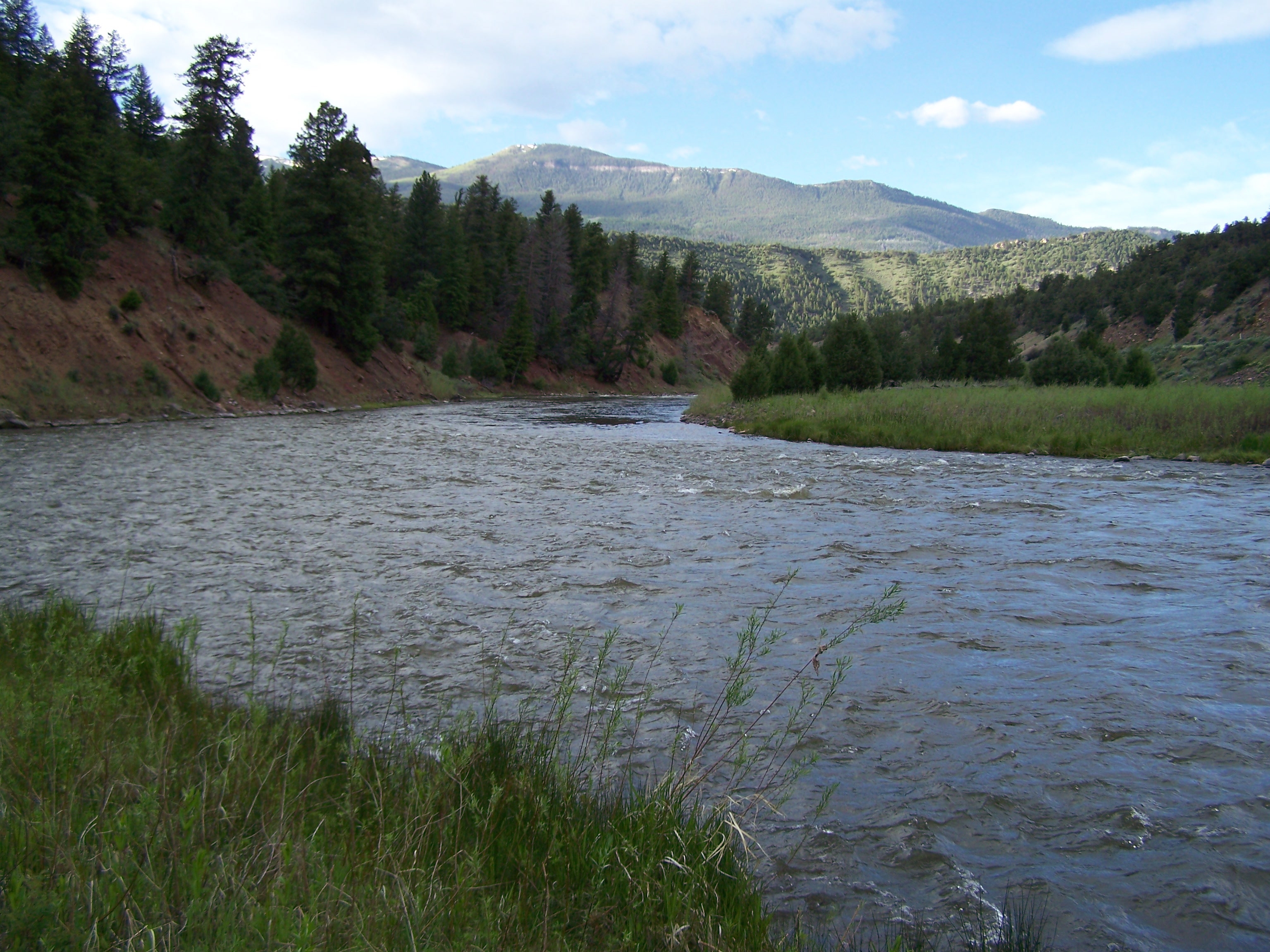
Colorado River
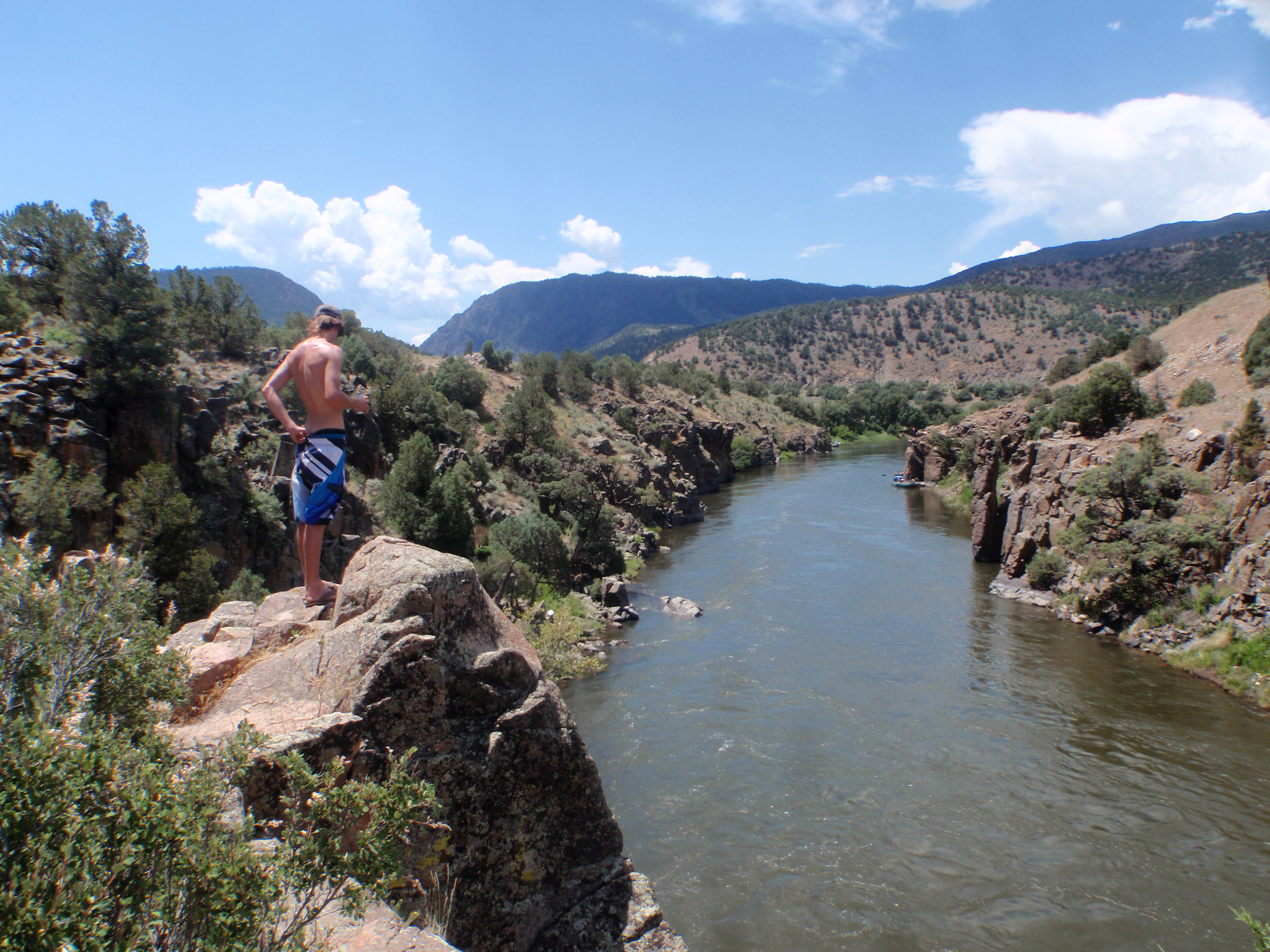
Colorado River
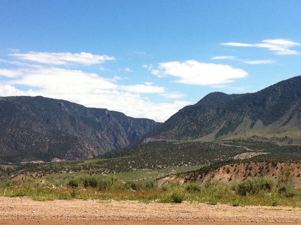
View from Trough Road

Feather Cloud
The Island
Topographic Map of Yarmony Mountain, Colorado, USA
Find elevation by address:

Places near Yarmony Mountain, Colorado, USA:
Copper Spur Rd, Bond, CO, USA
Bond
Mccoy
Pisgah Mountain
Piney Peak
Dice Hill
Wolcott
14620 Co Rd 16
Toponas
King Mountain East
Red Sky Ranch And Golf Club
370 Co Rd 134
5804 Bellyache Ridge Rd
5804 Bellyache Ridge Rd
Barlow Drive
County Road 130
Red And White Mountain
81 Elk Run
830 Co Rd 165
4548 Bellyache Ridge Rd
Recent Searches:
- Elevation of Corso Fratelli Cairoli, 35, Macerata MC, Italy
- Elevation of Tallevast Rd, Sarasota, FL, USA
- Elevation of 4th St E, Sonoma, CA, USA
- Elevation of Black Hollow Rd, Pennsdale, PA, USA
- Elevation of Oakland Ave, Williamsport, PA, USA
- Elevation of Pedrógão Grande, Portugal
- Elevation of Klee Dr, Martinsburg, WV, USA
- Elevation of Via Roma, Pieranica CR, Italy
- Elevation of Tavkvetili Mountain, Georgia
- Elevation of Hartfords Bluff Cir, Mt Pleasant, SC, USA