Elevation of Old Brush Creek Rd, Eagle, CO, USA
Location: United States > Colorado > Eagle County > Eagle >
Longitude: -106.80542
Latitude: 39.6348419
Elevation: 2052m / 6732feet
Barometric Pressure: 79KPa
Elevation Map:
Satellite Map:
Related Photos:

City Market

Moonrise over Game Creek Bowl

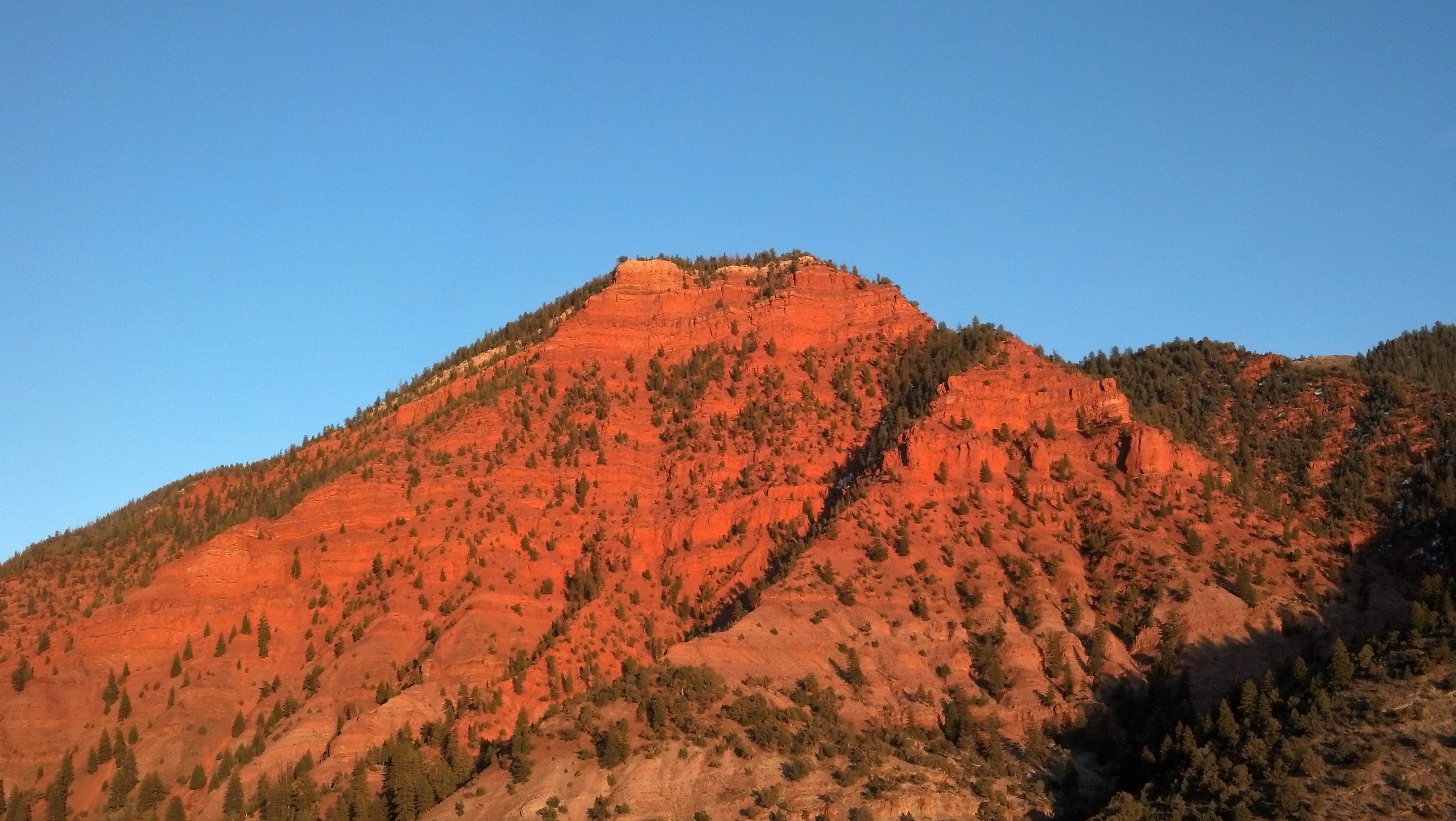
Red Mountainside on I-70 East of Eagle, Colorado

Into Nothing

Where Desert Meets the Sky

Oil Baffle
View of CO from 9,000ft
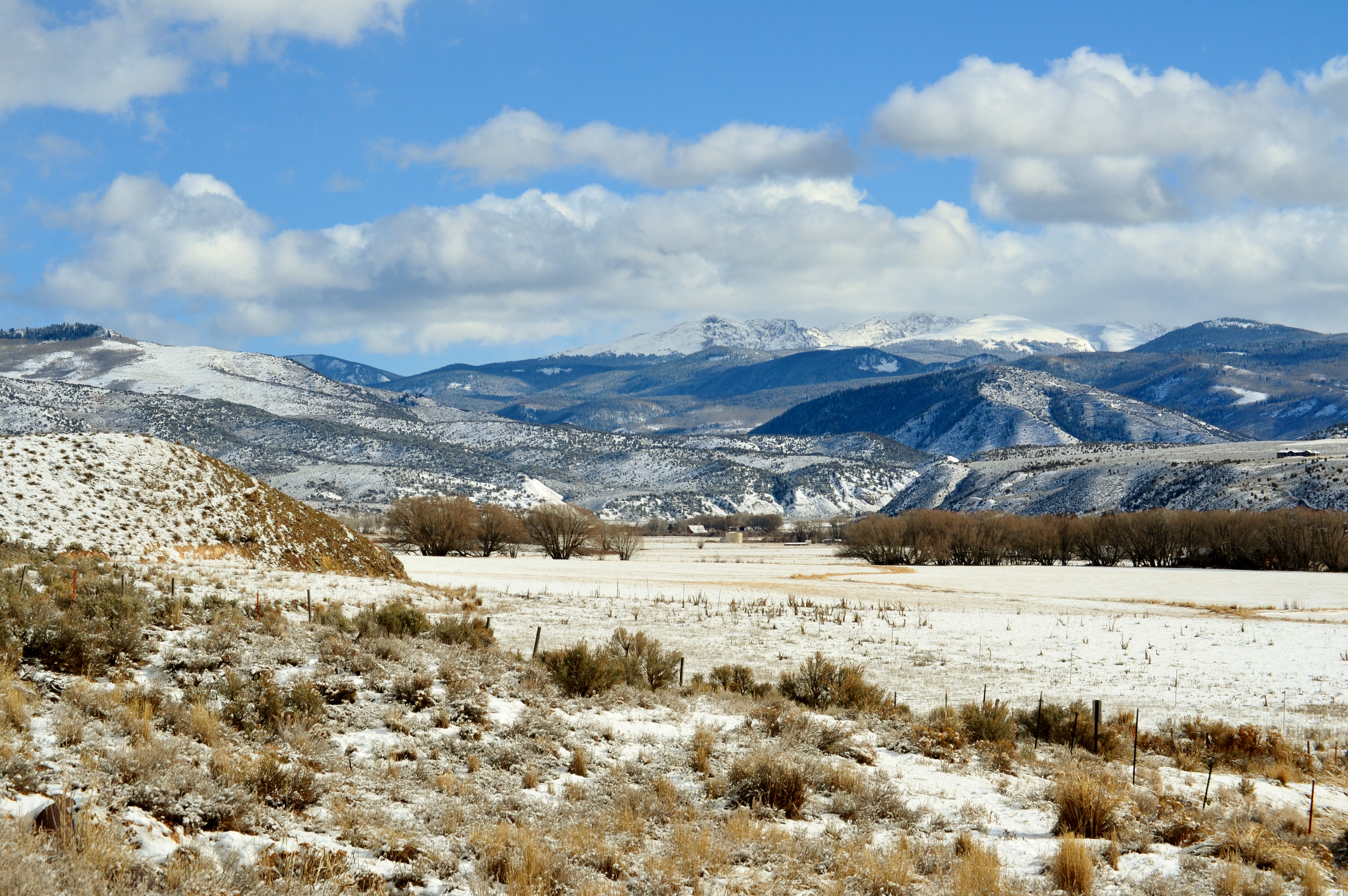
View of Snow-capped Mountains

Twilight in America

Highway View from the Van

Our view while on the train #amtrack #colorado

Trip to Sylvan Lake

Mountain View from Boneyard

2017-12-21 11:11:44

2017-12-21 11:11:52

Mountain View from Boneyard

Mountain View from Boneyard

This bench would be great on a dry day

The highway; low clouds
VIew of Mountains from Boneyard
New House 2 006

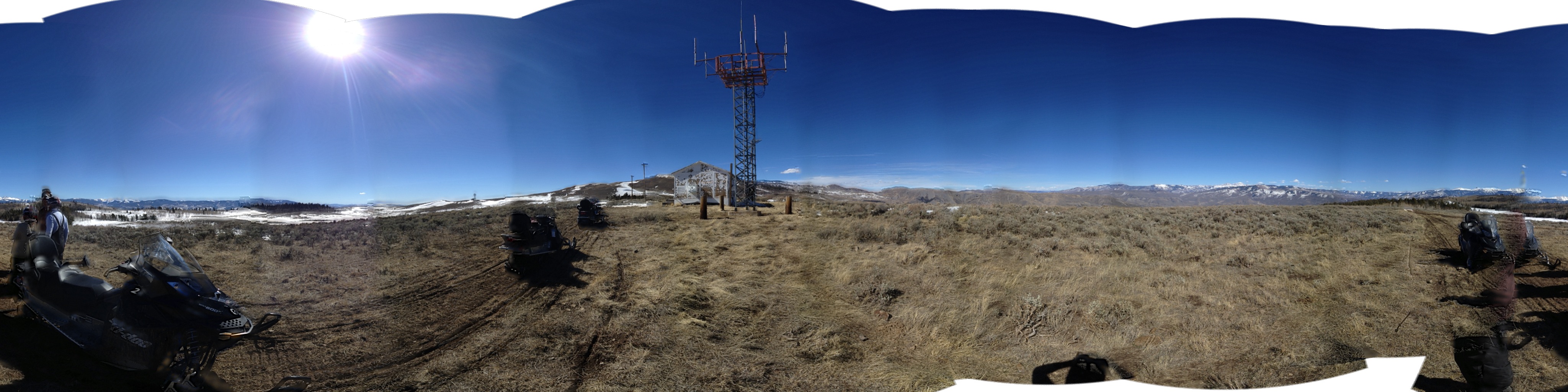
Dirtbiking Hardscrabble Mtn

Eagle River, Eagle, Colorado
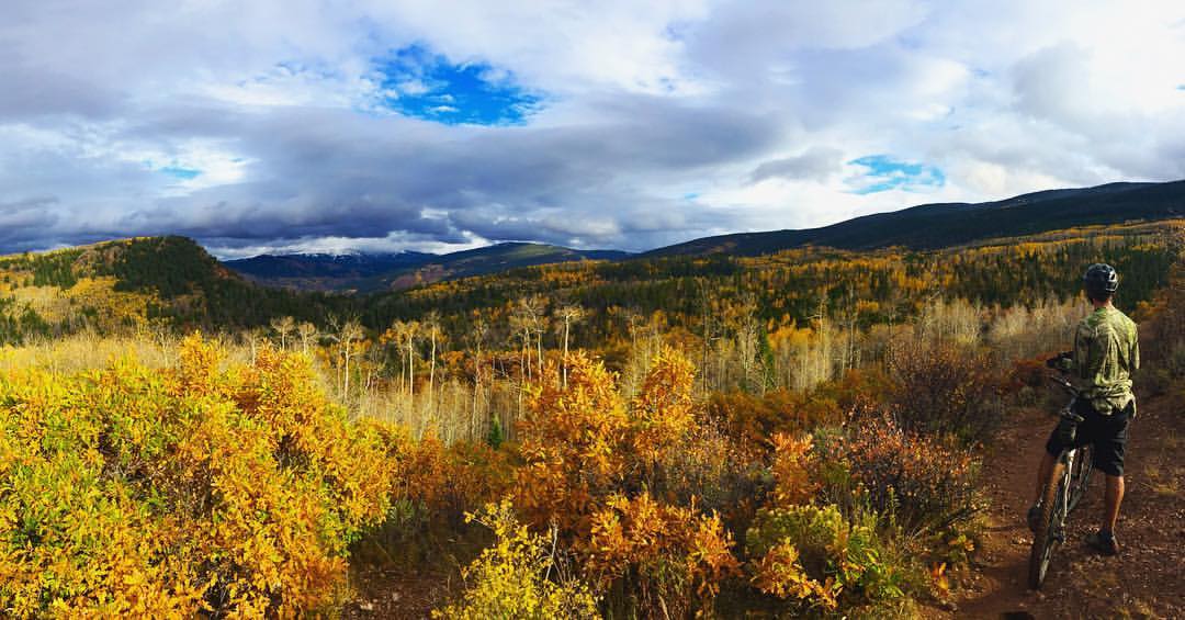
Fall biking.

Red Sky Golf Course in Wolcott, Colorado

2015-01-08-16-Breckenridge-R2PG-20150110-P1010293.jpg

Coulter / Peterson Ranch

Eagle River, Eagle, Colorado

before the sun rise.

Storm Clouds 001

Lightning this evening...

Course Barn

Cordillera Elk
Hill between Wolcott and Eagle

Eagle River Railroad Bridge, Eagle, Colorado

Family reunion

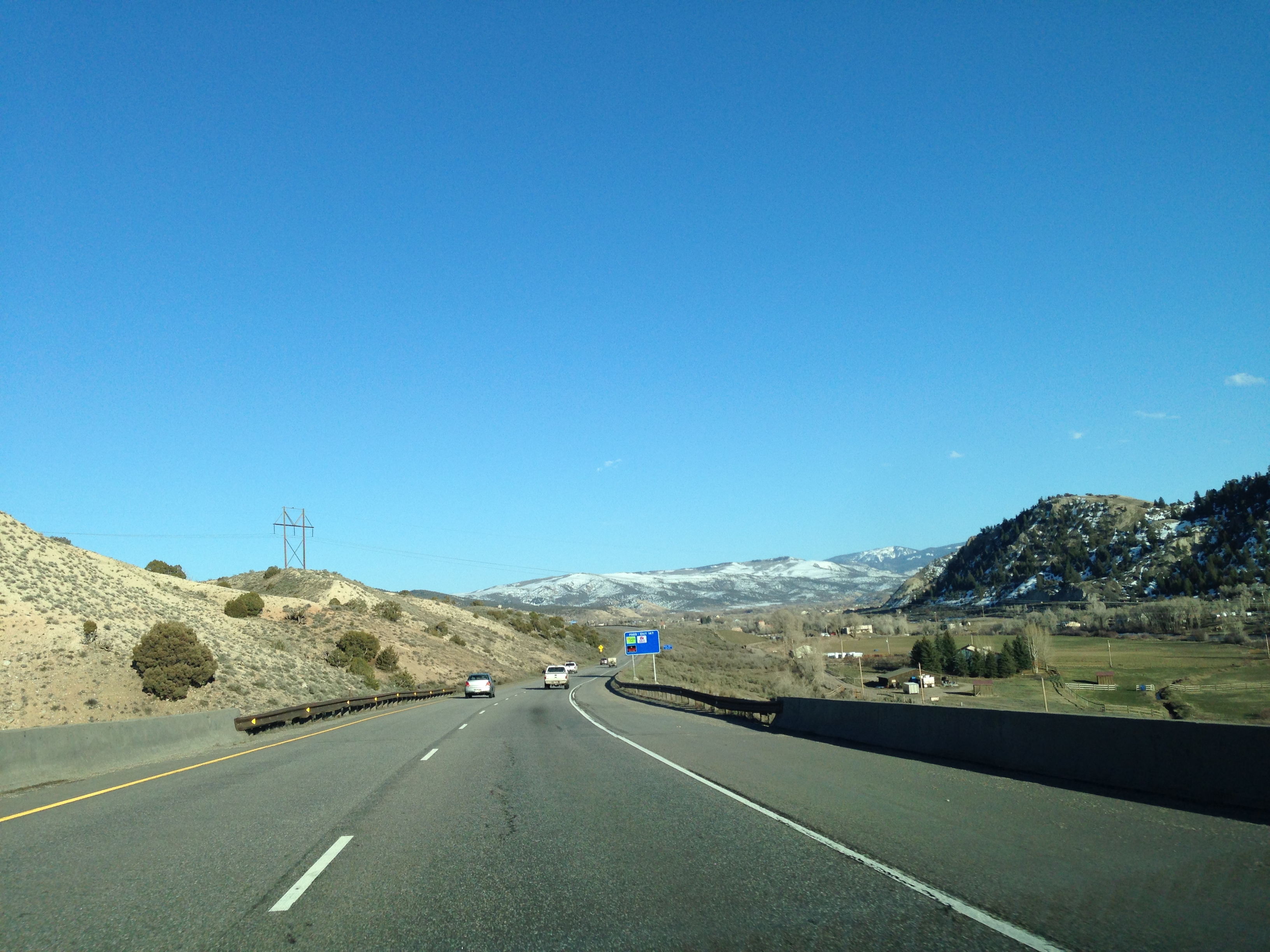
Driving east on Interstate 70

arghh!

Clouds Over the Mountins 005

Clouds Over the Mountins 003
Topographic Map of Old Brush Creek Rd, Eagle, CO, USA
Find elevation by address:

Places near Old Brush Creek Rd, Eagle, CO, USA:
14 Camp Fancy Spur
148 Bunkhouse Pl
160 Palmer Loop
Eagle Ranch Golf Course
1180 Capitol St
Eagle
39 Borah Spur
3566 Territory Trail
Coffin Mountain
9273 Brush Creek Rd
Bellyache Ridge West
179 Summit Springs Rd
672 Webb Peak
Eagle County
453 Pine Marten Way
42 Golden Bear Dr
411 Pine Marten Way
410 Pine Marten Way
224 Golden Bear Dr
218 Pine Marten Way
Recent Searches:
- Elevation of Corso Fratelli Cairoli, 35, Macerata MC, Italy
- Elevation of Tallevast Rd, Sarasota, FL, USA
- Elevation of 4th St E, Sonoma, CA, USA
- Elevation of Black Hollow Rd, Pennsdale, PA, USA
- Elevation of Oakland Ave, Williamsport, PA, USA
- Elevation of Pedrógão Grande, Portugal
- Elevation of Klee Dr, Martinsburg, WV, USA
- Elevation of Via Roma, Pieranica CR, Italy
- Elevation of Tavkvetili Mountain, Georgia
- Elevation of Hartfords Bluff Cir, Mt Pleasant, SC, USA