Elevation of Pipi Campground, Somerset, CA, USA
Location: United States > California > El Dorado County > Somerset >
Longitude: -120.43582
Latitude: 38.5672301
Elevation: 1190m / 3904feet
Barometric Pressure: 88KPa
Elevation Map:
Satellite Map:
Related Photos:
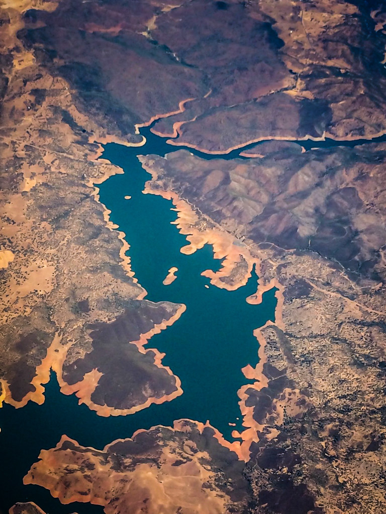
Aerial view of a reservoir over California
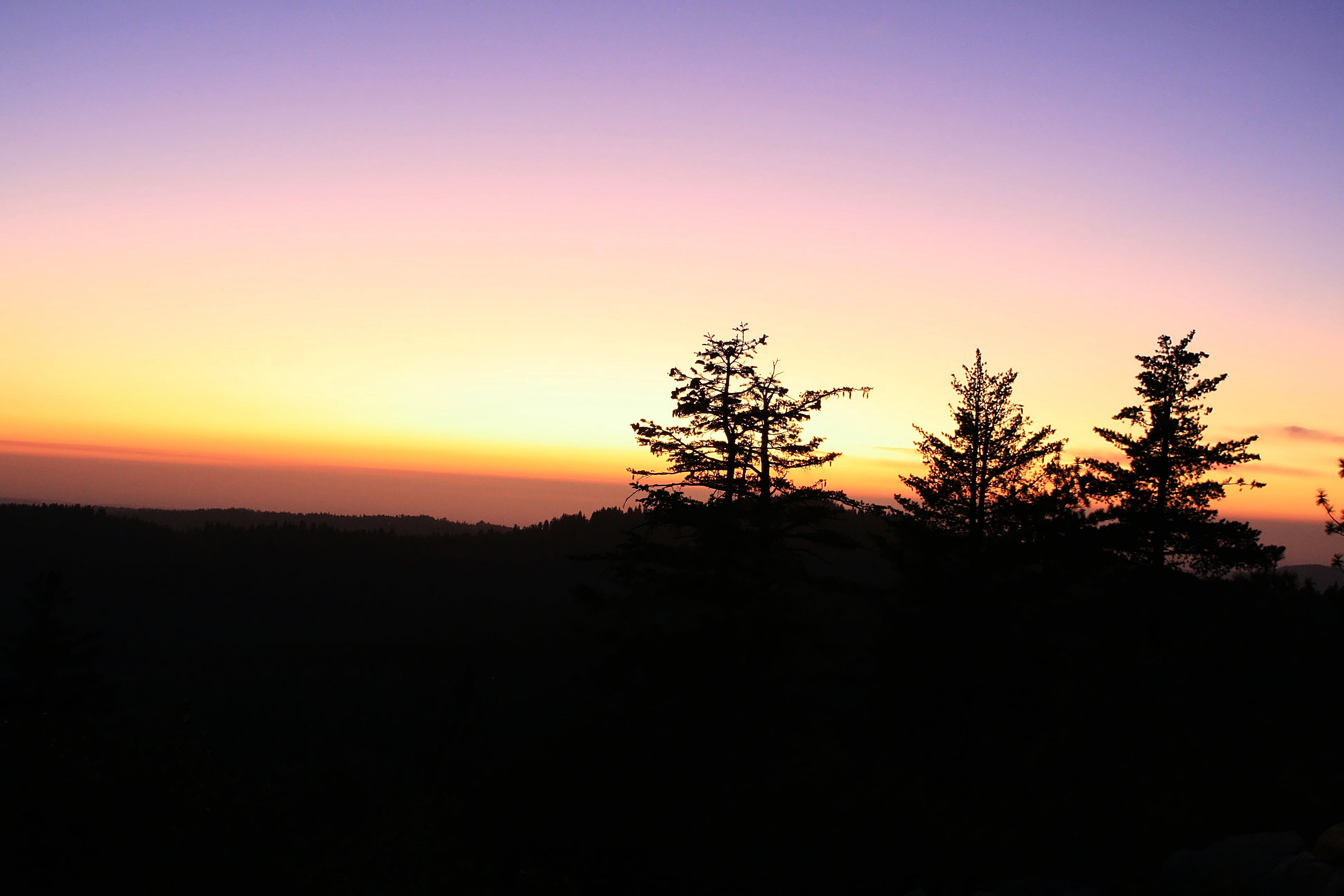
Magical Sunset
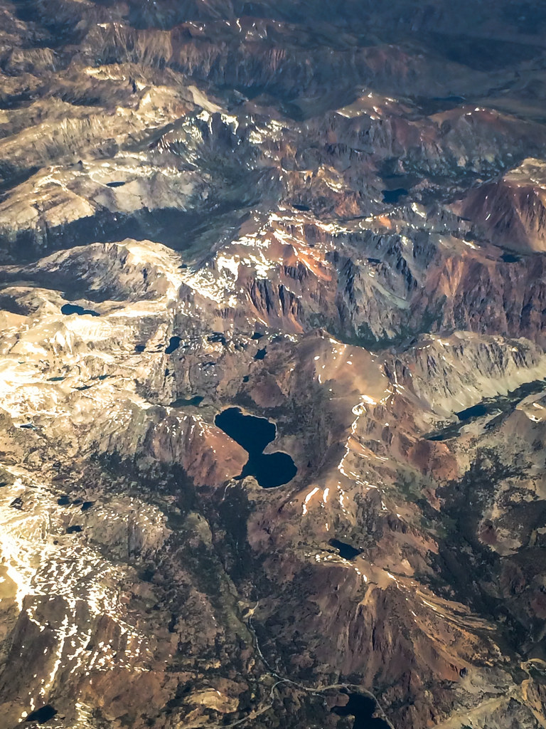
Aerial view of mountain range over eastern California

Magic Shroom Beetle
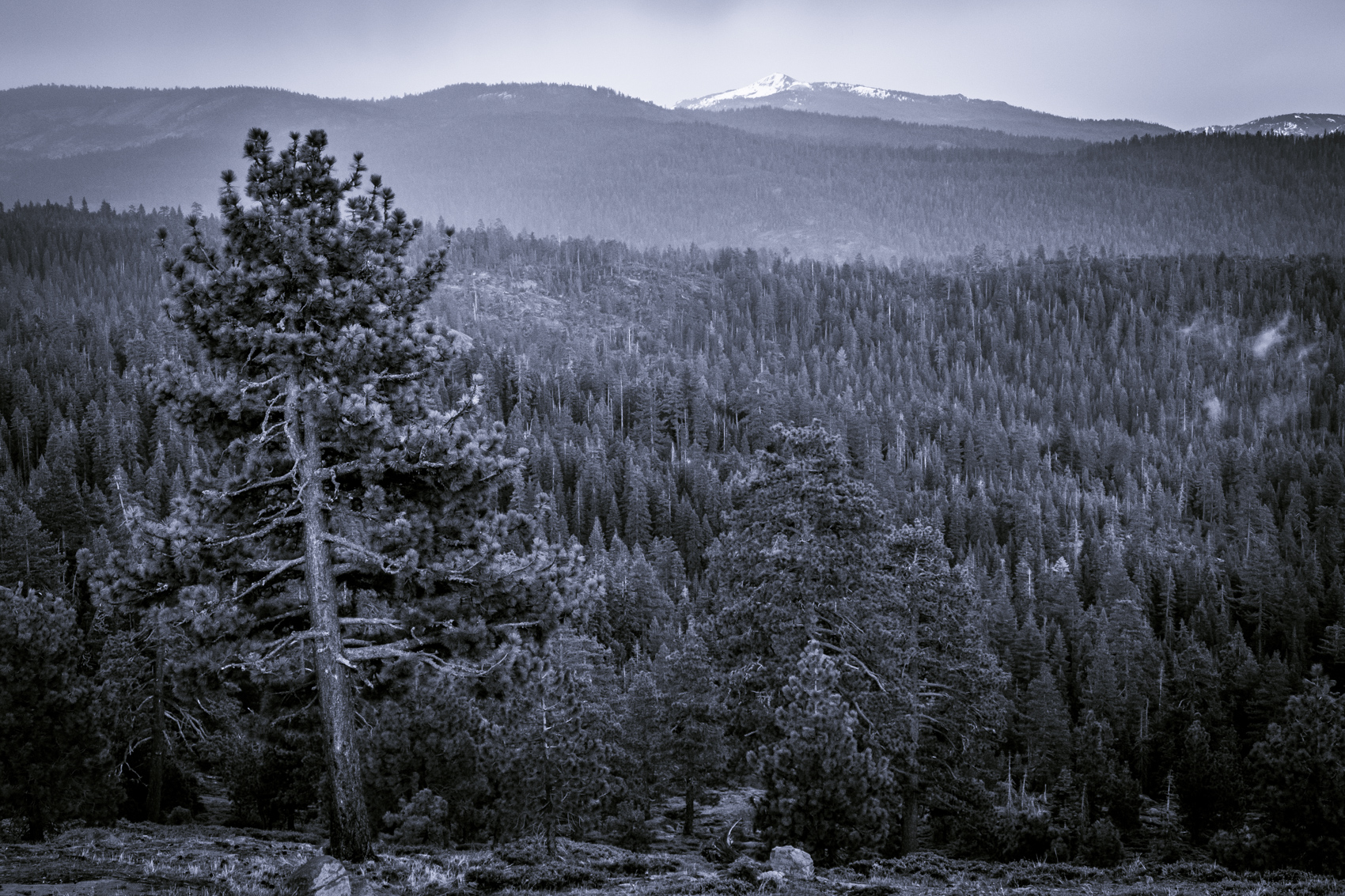
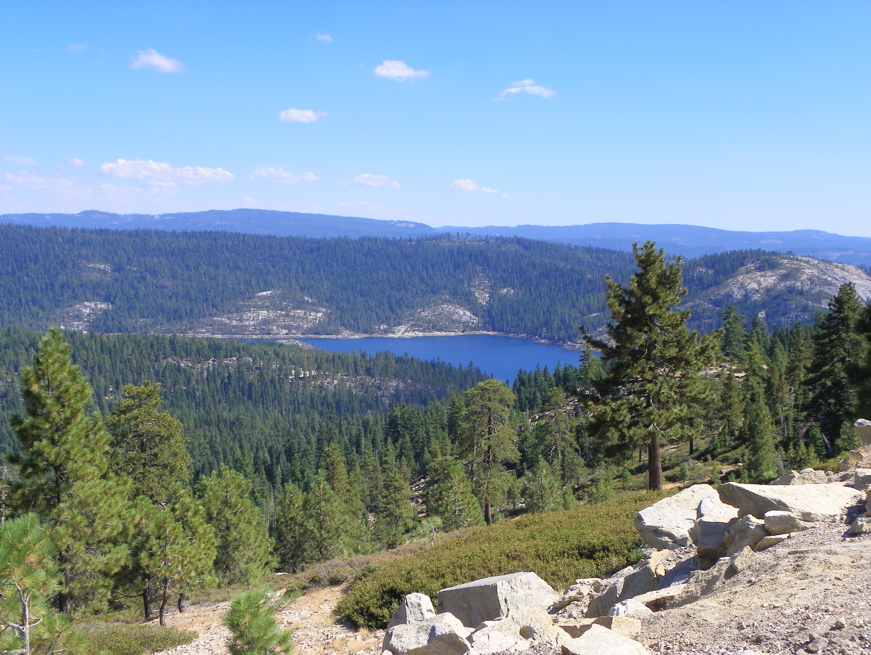
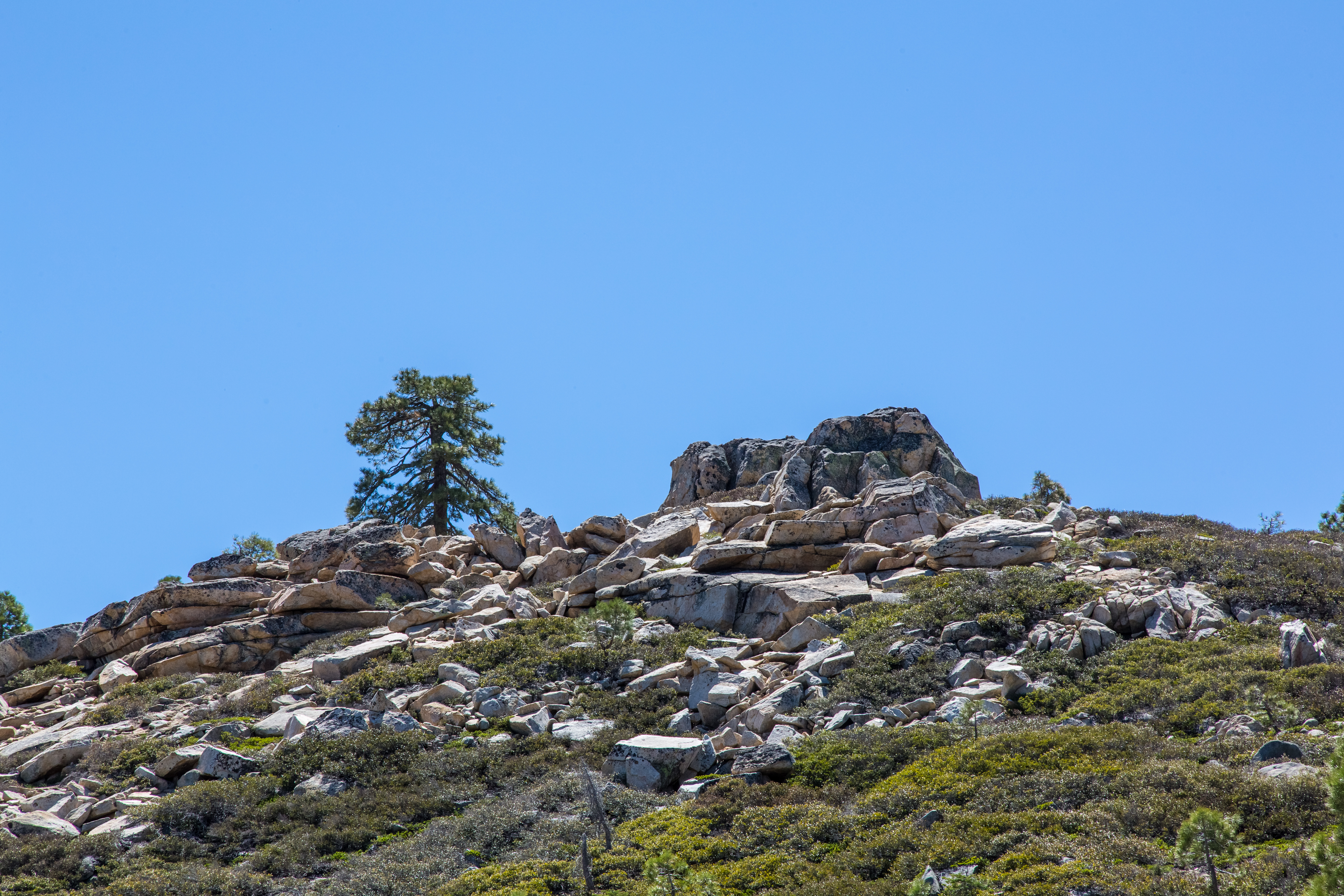
Pine Forest From Peddler Hill Overlook
Cabin - River
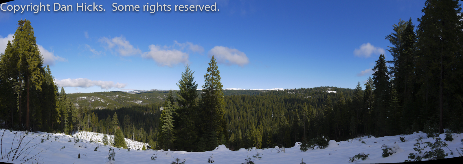
Peddler Hill Overlook Panorama

Tahoe Forest - View across the canyon Omo Ranch Road

Tahoe Forest - View across the canyon Omo Ranch Road
Carson Pass
Tahoe Forest - View across the canyon Omo Ranch Road
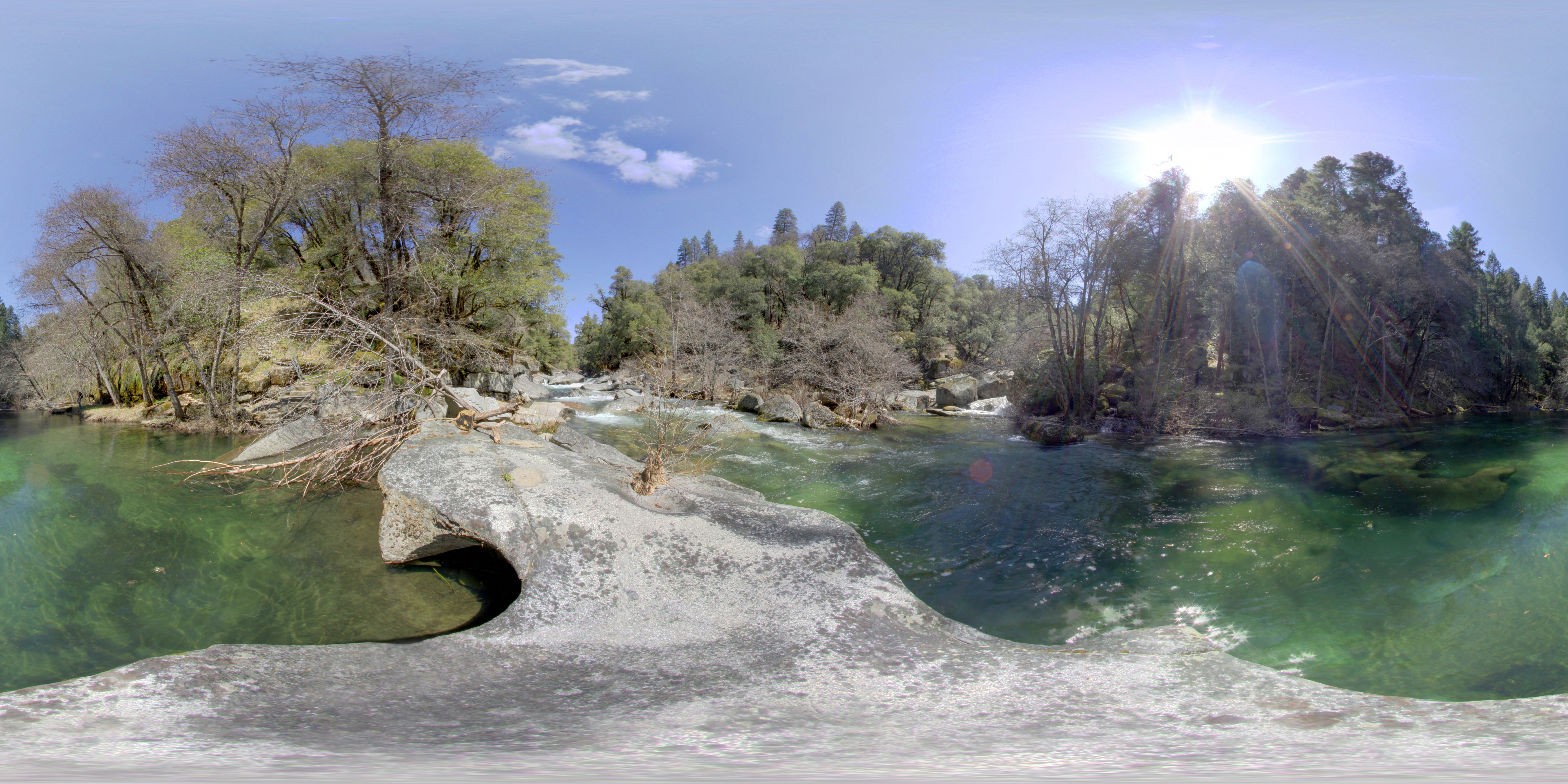
Cabin - River
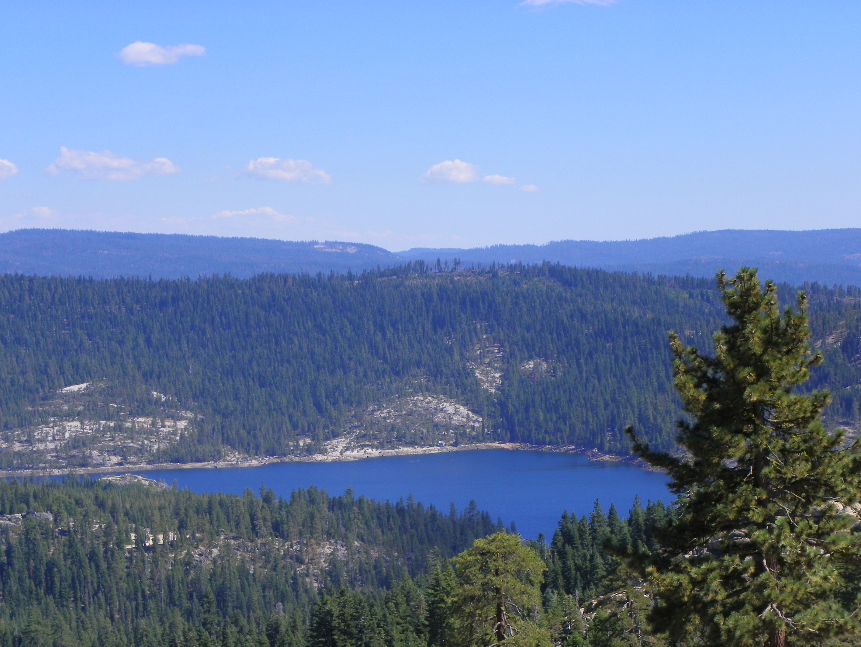
Lower Bear River Reservoir

Cabin - River
View of Lower Bear River Reservoir from Peddler HIll Overlook
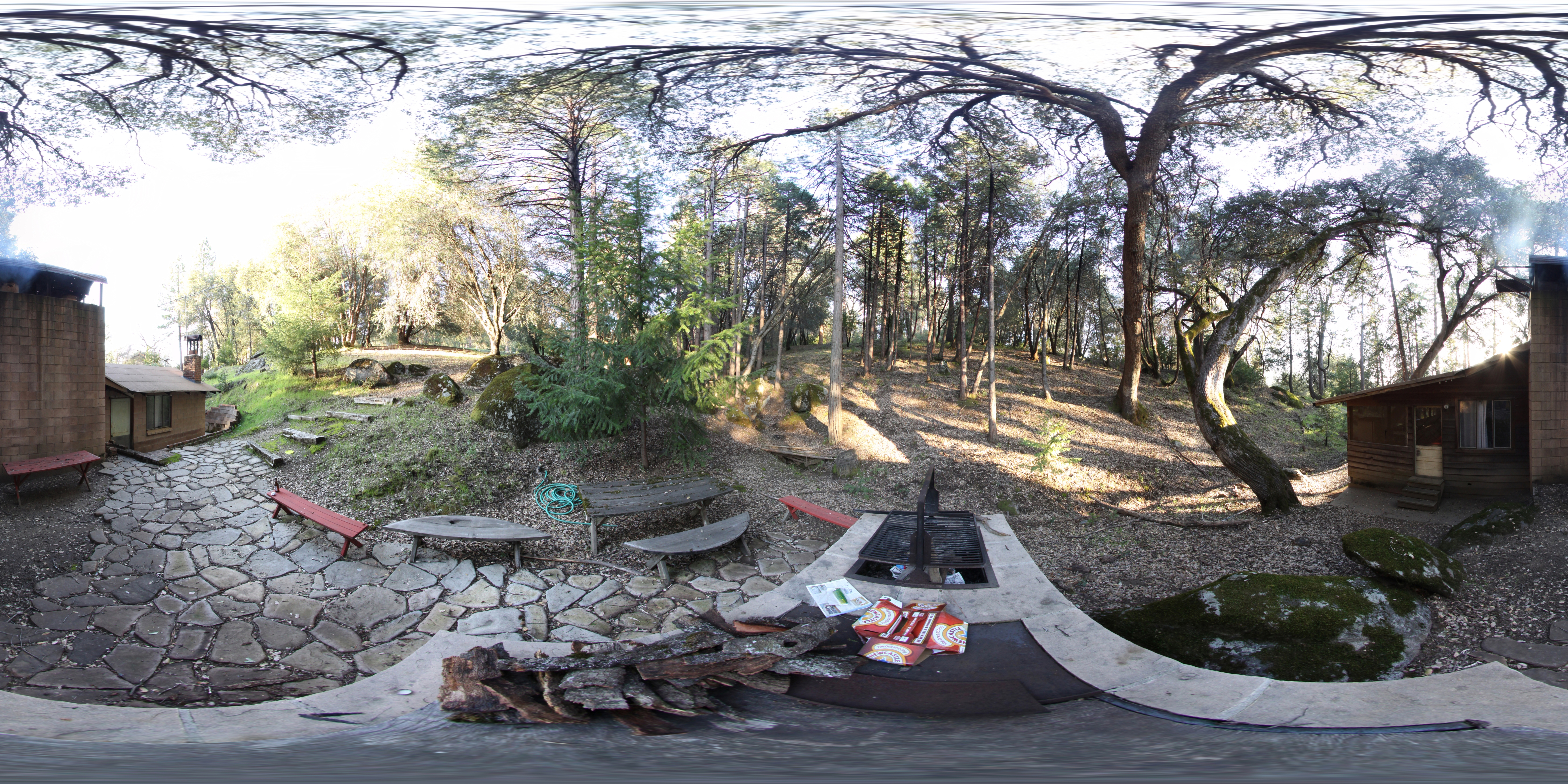
Cabin - Backyard
Viewpoint on CA 88
Tahoe Forest - View across the canyon Omo Ranch Road
Saturday night

Fiery sunset
Sunset over the Valley - Explored
DSC_4253.JPG
Sun and Clouds, Amador County, CA

_8130152.NEF

_8130125.NEF

_8130154.NEF
Sidewalk and Poultry Walls
January Sierra Sunset
P1070890-pano.jpg
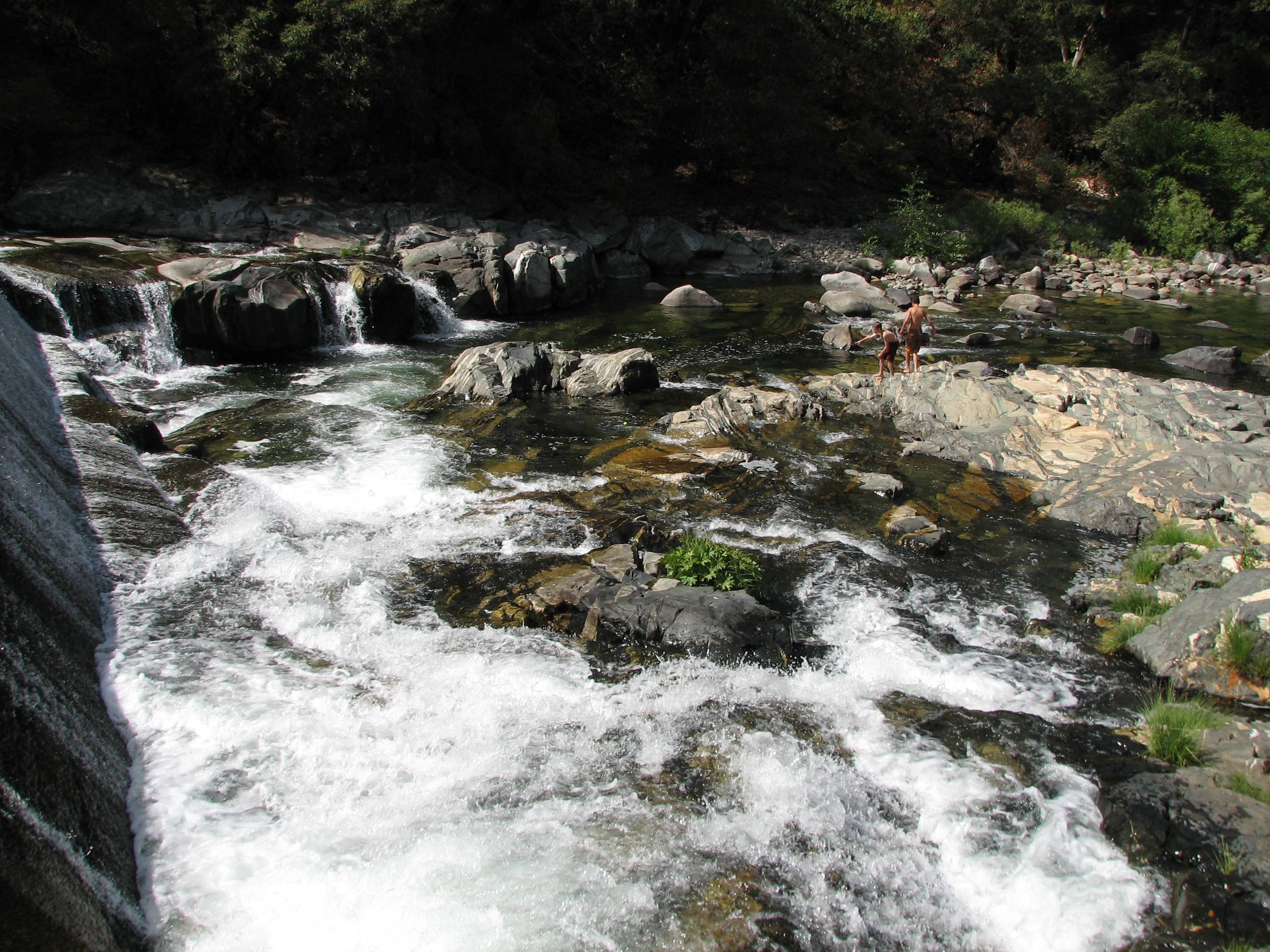
Tiger Creek swimming

P1070890-pano.jpg
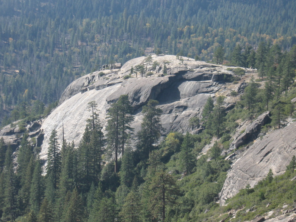
South Face Daffy Dome
DSC_4252.JPG
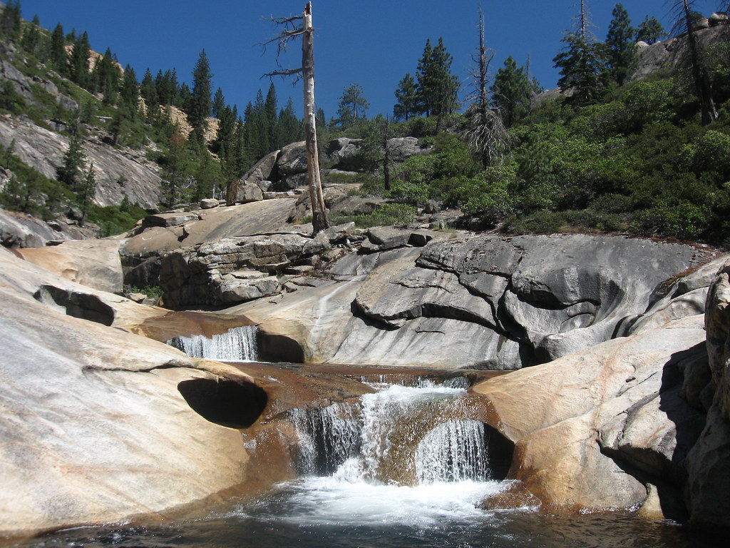
Bear River Lower Gorge
LakeTahoeArea-20130430-298

River flowers
Topographic Map of Pipi Campground, Somerset, CA, USA
Find elevation by address:

Places near Pipi Campground, Somerset, CA, USA:
Pi-pi Valley
N South Rd, Somerset, CA, USA
Caldor
California 88 & Omo Ranch Road
Cook's Station
34950 Ca-88
Ham's Station
Cooks Station Ridge
Dew Drop Bypass
Dew Drop Bypass
California 88 & Shake Ridge Road
28900 Ca-88
28900 Ca-88
28832 Sierra Ct
Telephone Ridge
21283 Sierra Cir Dr
20854 Sierra Cir Dr
20163 Sierra Cir Dr
Caldor Road
California 88 & Fuentes Drive South
Recent Searches:
- Elevation of Corso Fratelli Cairoli, 35, Macerata MC, Italy
- Elevation of Tallevast Rd, Sarasota, FL, USA
- Elevation of 4th St E, Sonoma, CA, USA
- Elevation of Black Hollow Rd, Pennsdale, PA, USA
- Elevation of Oakland Ave, Williamsport, PA, USA
- Elevation of Pedrógão Grande, Portugal
- Elevation of Klee Dr, Martinsburg, WV, USA
- Elevation of Via Roma, Pieranica CR, Italy
- Elevation of Tavkvetili Mountain, Georgia
- Elevation of Hartfords Bluff Cir, Mt Pleasant, SC, USA