Elevation of Caldor, CA, USA
Location: United States > California > El Dorado County >
Longitude: -120.4338
Latitude: 38.606407
Elevation: 1352m / 4436feet
Barometric Pressure: 86KPa
Elevation Map:
Satellite Map:
Related Photos:

One more dragonfly.

Apples anyone?

Friends or foes?
Aerial view of a reservoir over California
Magical Sunset
Aerial view of mountain range over eastern California

Western Gasteruption

Count them 6 butterflies in one shot!

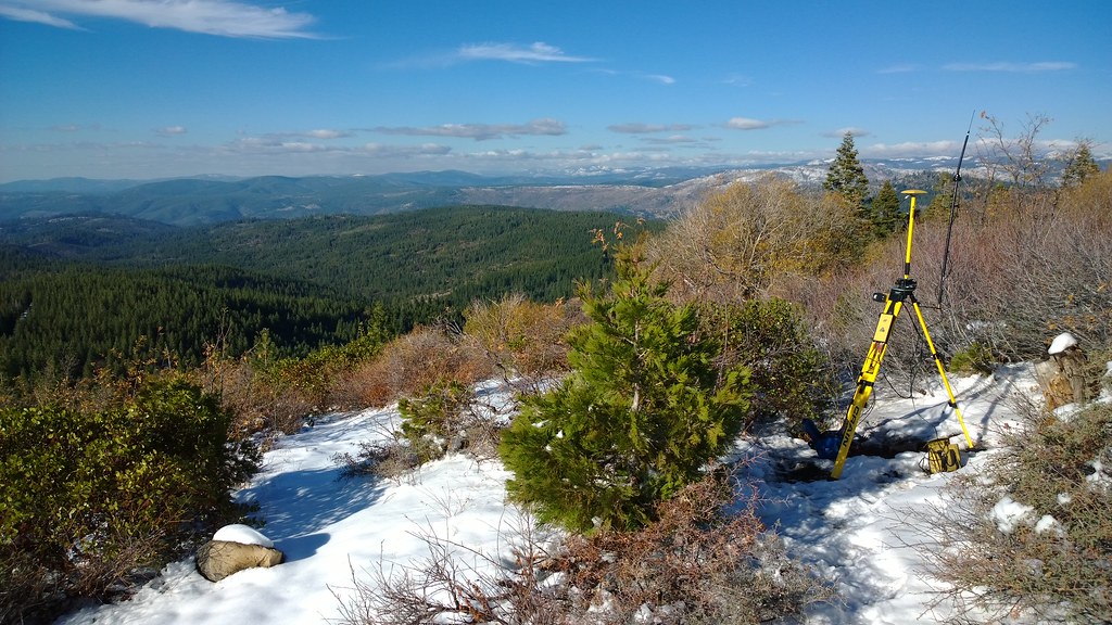
Tahoe Forest - View across the canyon Omo Ranch Road

Carson Pass Sunset

Darner Dragonfly

Magic Shroom Beetle
Carson Pass

Tahoe Forest - View across the canyon Omo Ranch Road
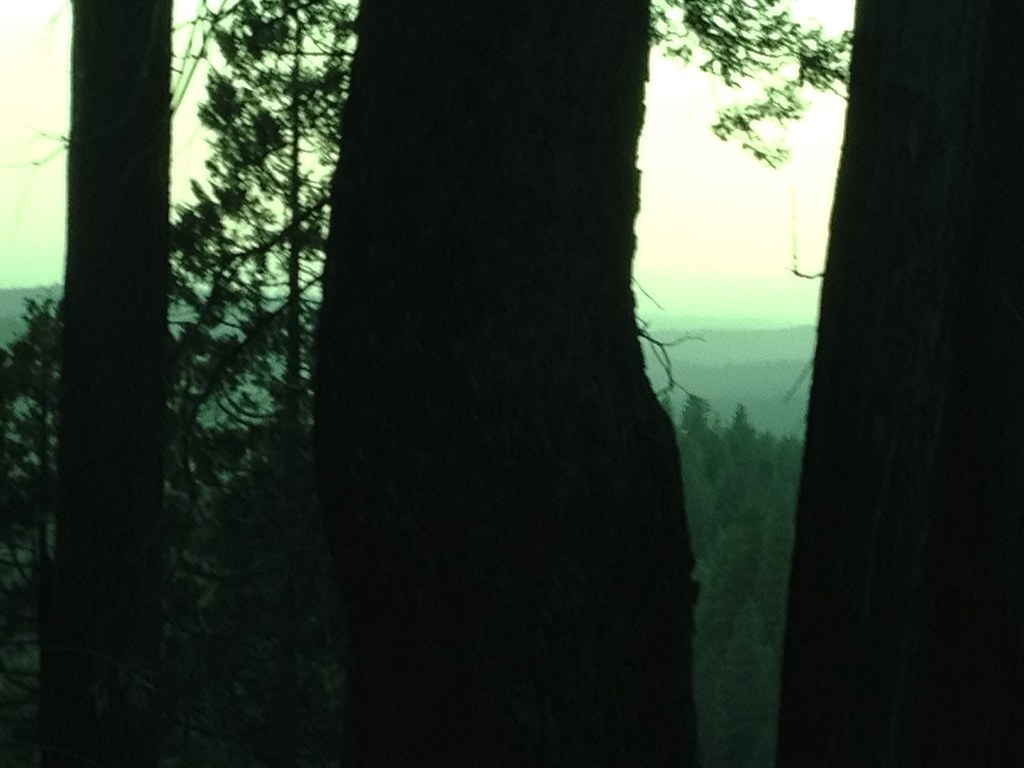
Tahoe Forest - View across the canyon Omo Ranch Road

Fritillary Butterfly
Tahoe Forest - View across the canyon Omo Ranch Road
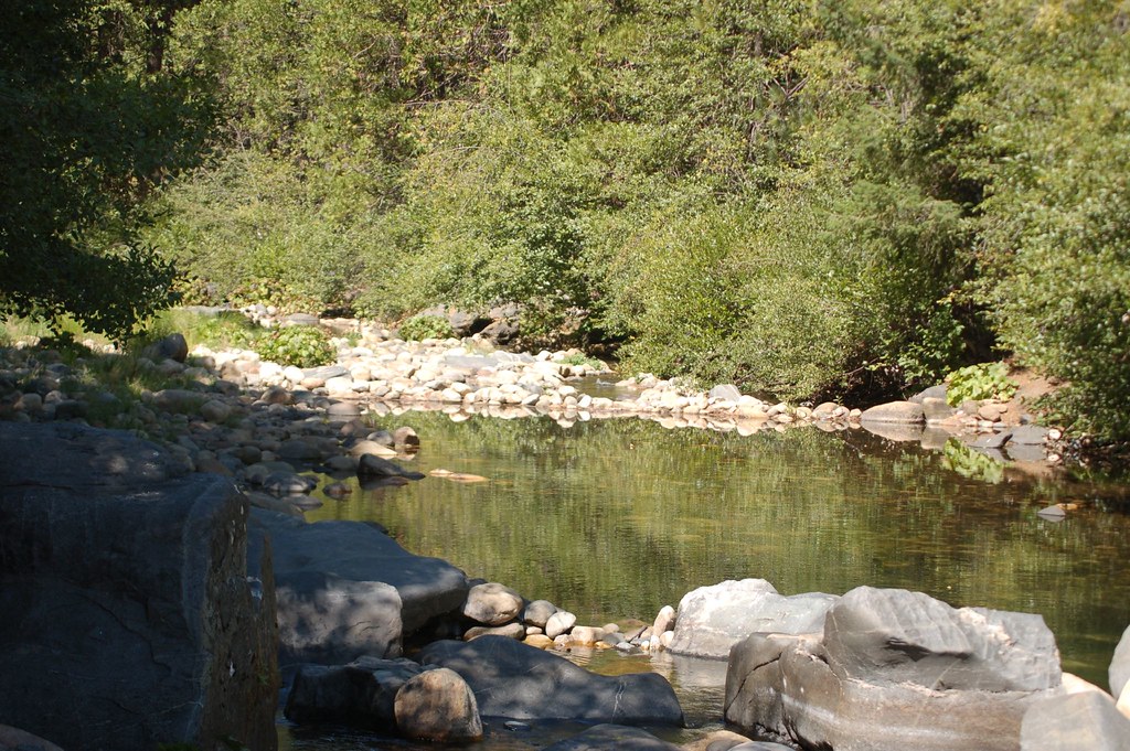
Cabin - River

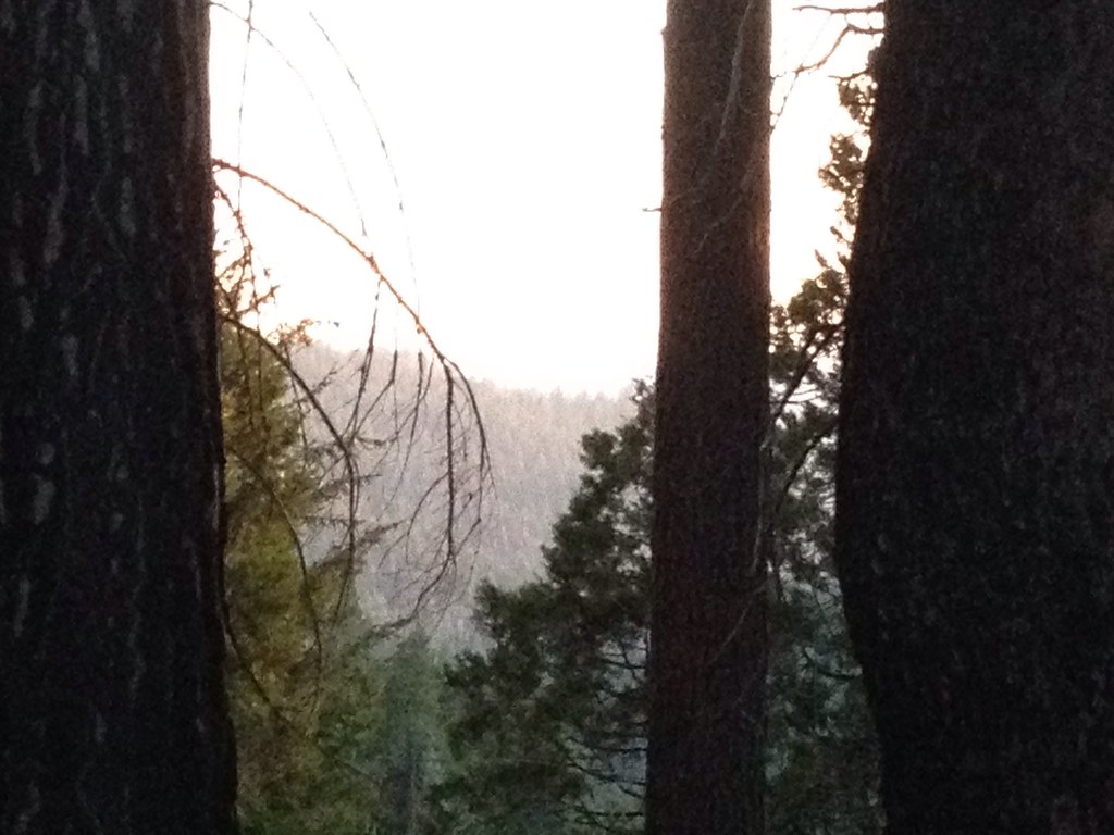
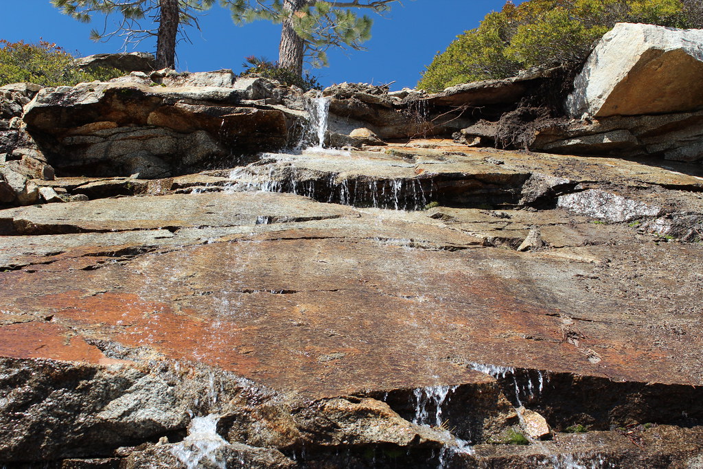
View across the canyon from Omo Ranch Road
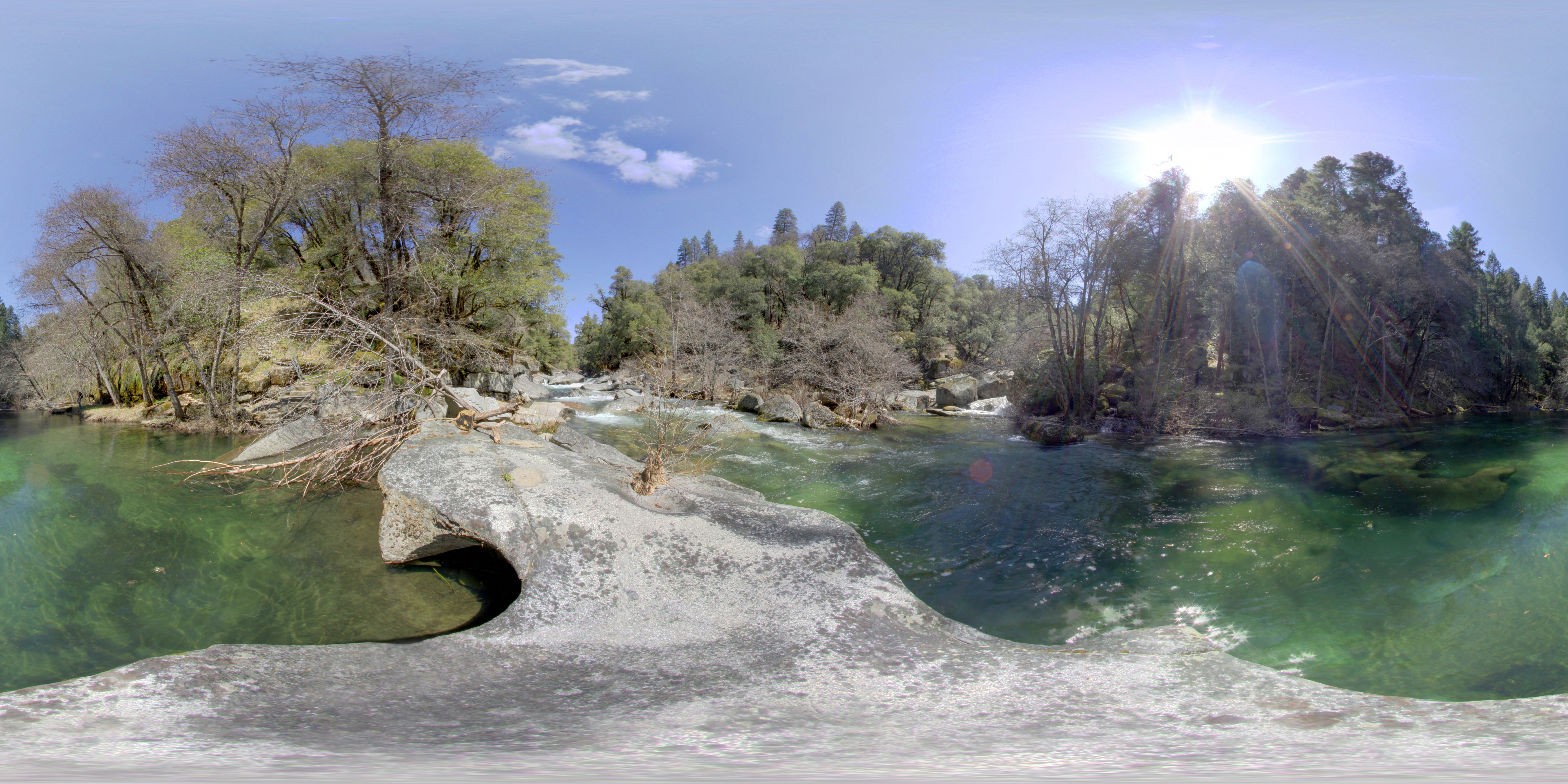
Cabin - River
Lower Bear River Reservoir
Sunset over the Valley - Explored
Trestle Trail 1
DSC_4253.JPG

_8130126.NEF

_8130154.NEF

_8130152.NEF

_8130147.NEF
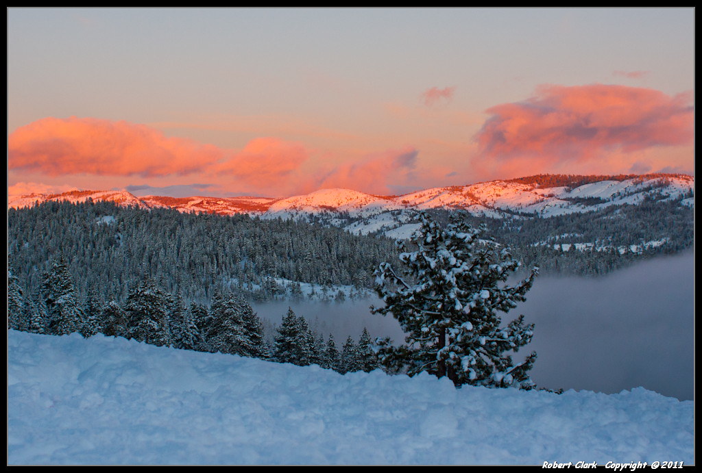
January Sierra Sunset

_8130125.NEF

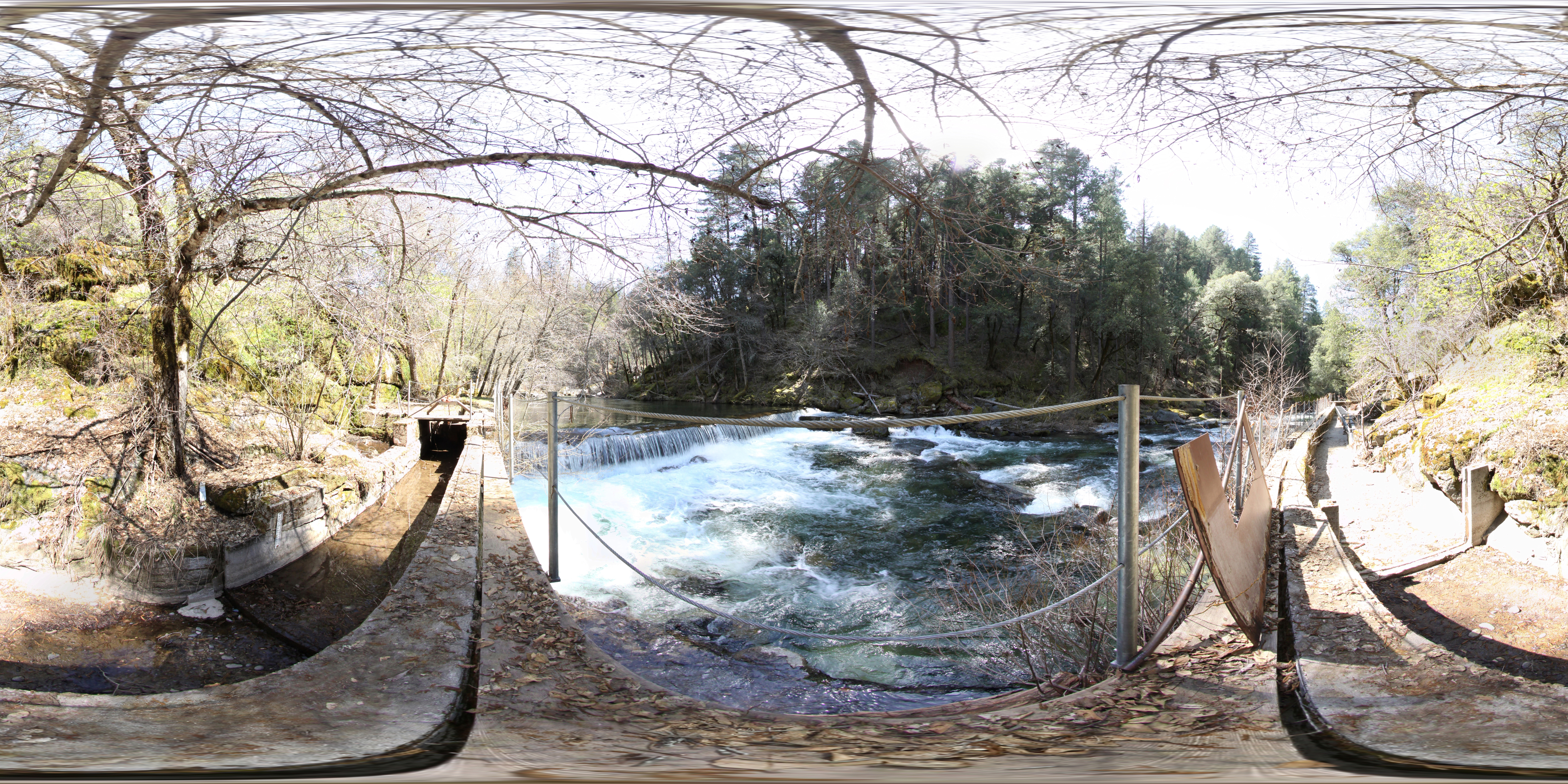
P1070890-pano.jpg
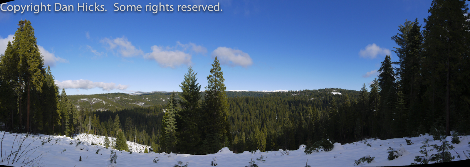
P1070890-pano.jpg
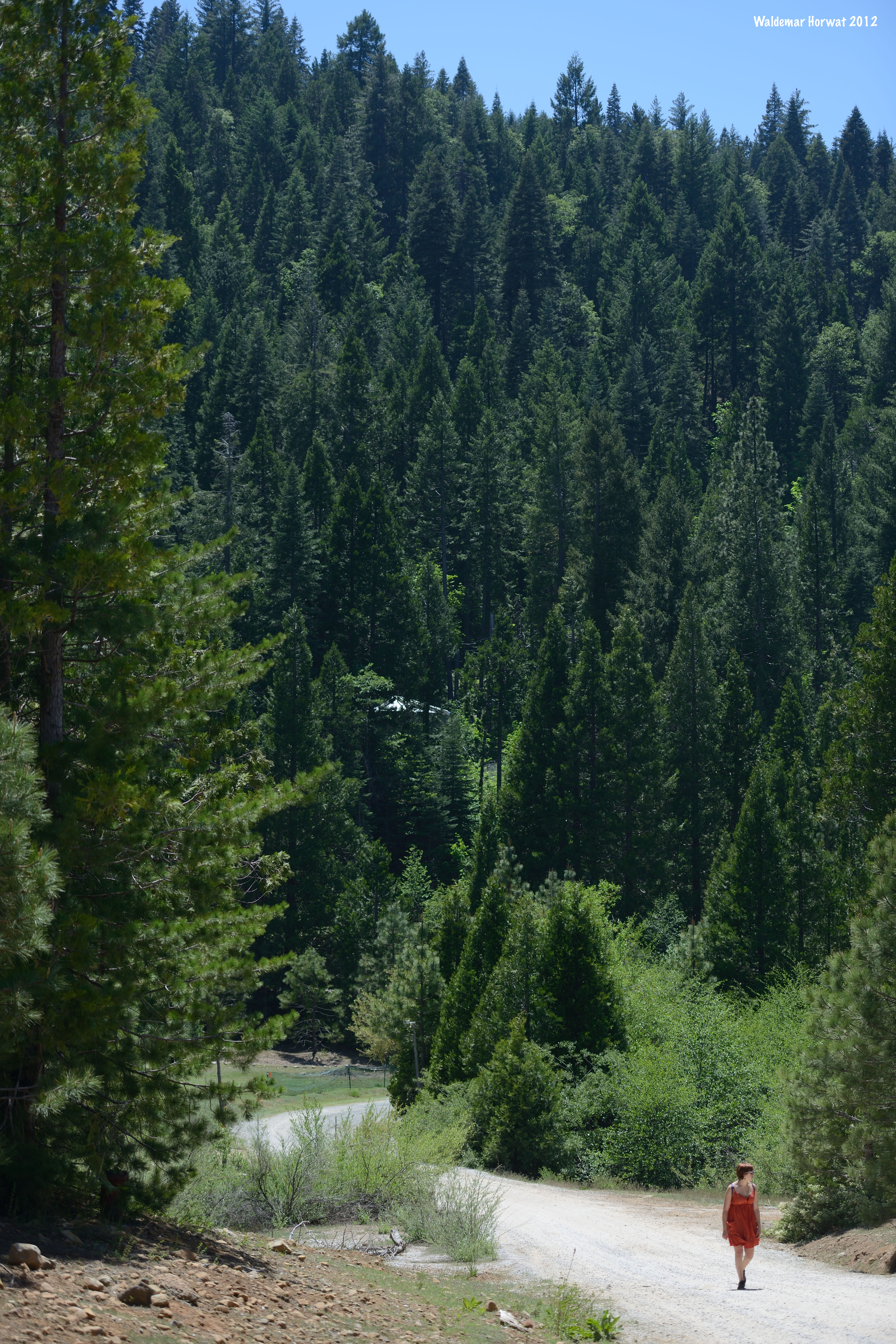
Walking along the Road

_8130156.NEF

Placerville sunset 1
Eldorado National Forest
PiPi 2008 302
Roadtrip USA - April 22. 2012 - Carson Pass Highway
DSC_4252.JPG
Topographic Map of Caldor, CA, USA
Find elevation by address:

Places near Caldor, CA, USA:
N South Rd, Somerset, CA, USA
Pi-pi Valley
Pipi Campground
Telephone Ridge
Caldor Road
California 88 & Omo Ranch Road
Cook's Station
Big Canyon Loop Rd, Grizzly Flats, CA, USA
34950 Ca-88
Ham's Station
7262 Winding Way
4996 Edgewood Cir
United States Postal Service
Grizzly Flat Rd, Grizzly Flats, CA, USA
Grizzly Flats
6867 Tyler Dr
6255 Wooded Glen Dr
10204 Grizzly Flat Rd
Dew Drop Bypass
Dew Drop Bypass
Recent Searches:
- Elevation of Corso Fratelli Cairoli, 35, Macerata MC, Italy
- Elevation of Tallevast Rd, Sarasota, FL, USA
- Elevation of 4th St E, Sonoma, CA, USA
- Elevation of Black Hollow Rd, Pennsdale, PA, USA
- Elevation of Oakland Ave, Williamsport, PA, USA
- Elevation of Pedrógão Grande, Portugal
- Elevation of Klee Dr, Martinsburg, WV, USA
- Elevation of Via Roma, Pieranica CR, Italy
- Elevation of Tavkvetili Mountain, Georgia
- Elevation of Hartfords Bluff Cir, Mt Pleasant, SC, USA