Elevation of Cooks Station Ridge, California, USA
Location: United States > California > Calaveras County > West Point >
Longitude: -120.45297
Latitude: 38.5012981
Elevation: 1377m / 4518feet
Barometric Pressure: 86KPa
Elevation Map:
Satellite Map:
Related Photos:

Magical Sunset

Magic Shroom Beetle

Carson Pass Sunset

Aerial view of a reservoir over California
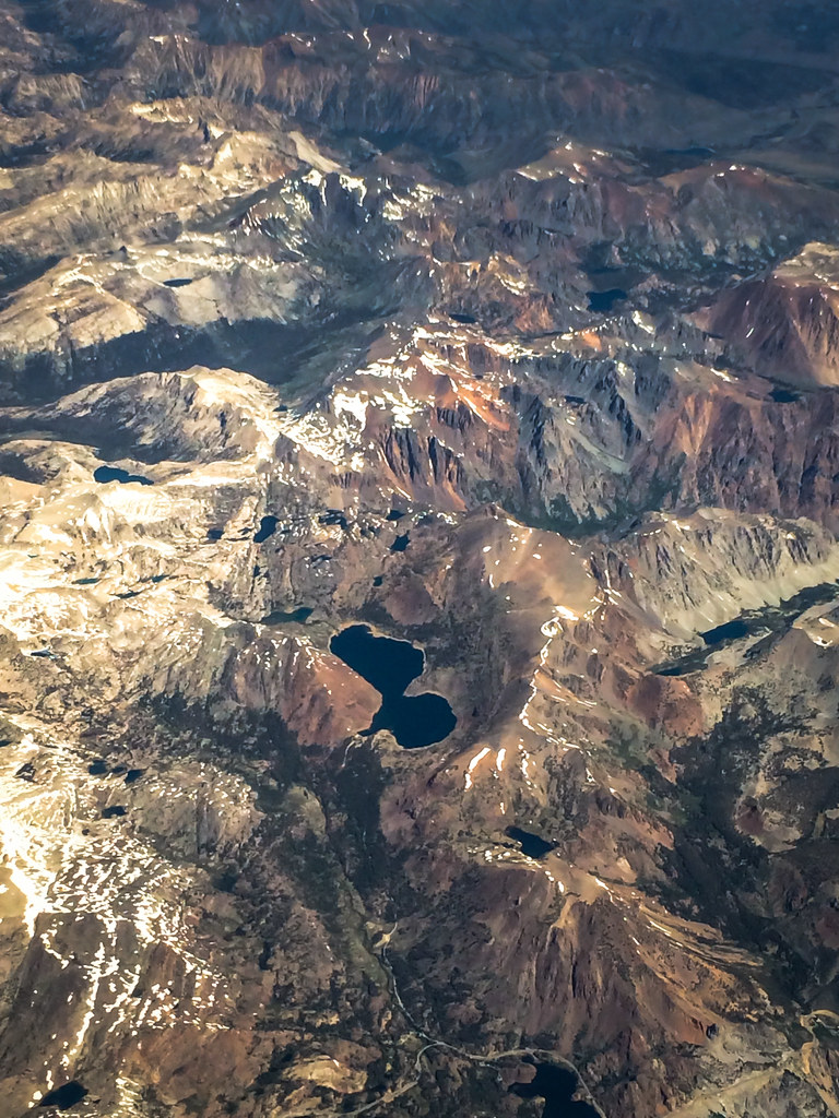
Aerial view of mountain range over eastern California

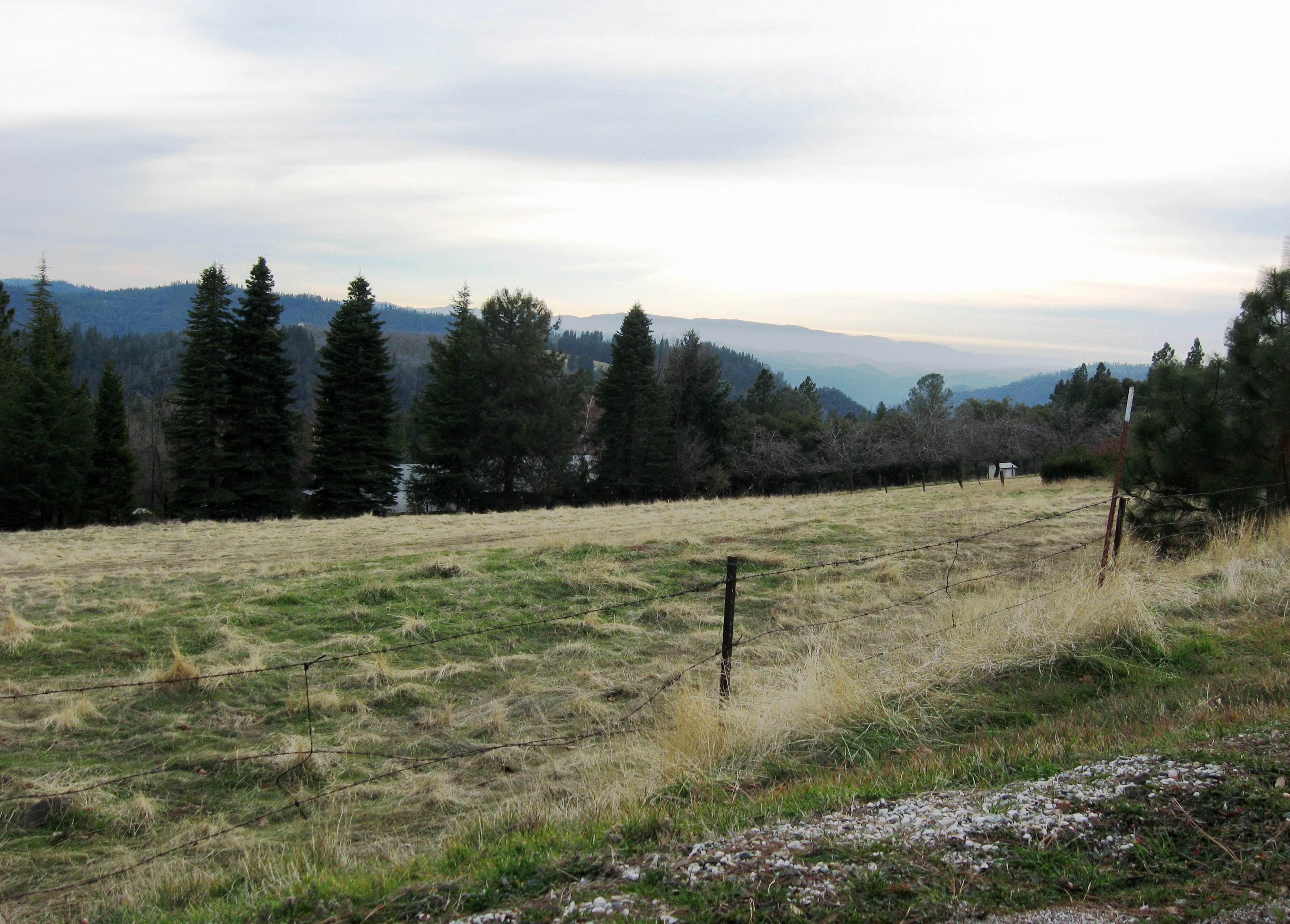
View across the canyon from Omo Ranch Road

View from Omo Road - Tahoe National Forest

Tahoe Forest - View across the canyon Omo Ranch Road

Tahoe Forest - View across the canyon Omo Ranch Road

Tahoe Forest - View across the canyon Omo Ranch Road

Tahoe Forest - View across the canyon Omo Ranch Road

Tahoe Forest - View across the canyon Omo Ranch Road

Nice Mountain View 1
Nice View 3

Nice View 2

Pioneer, California

Walking along the Road
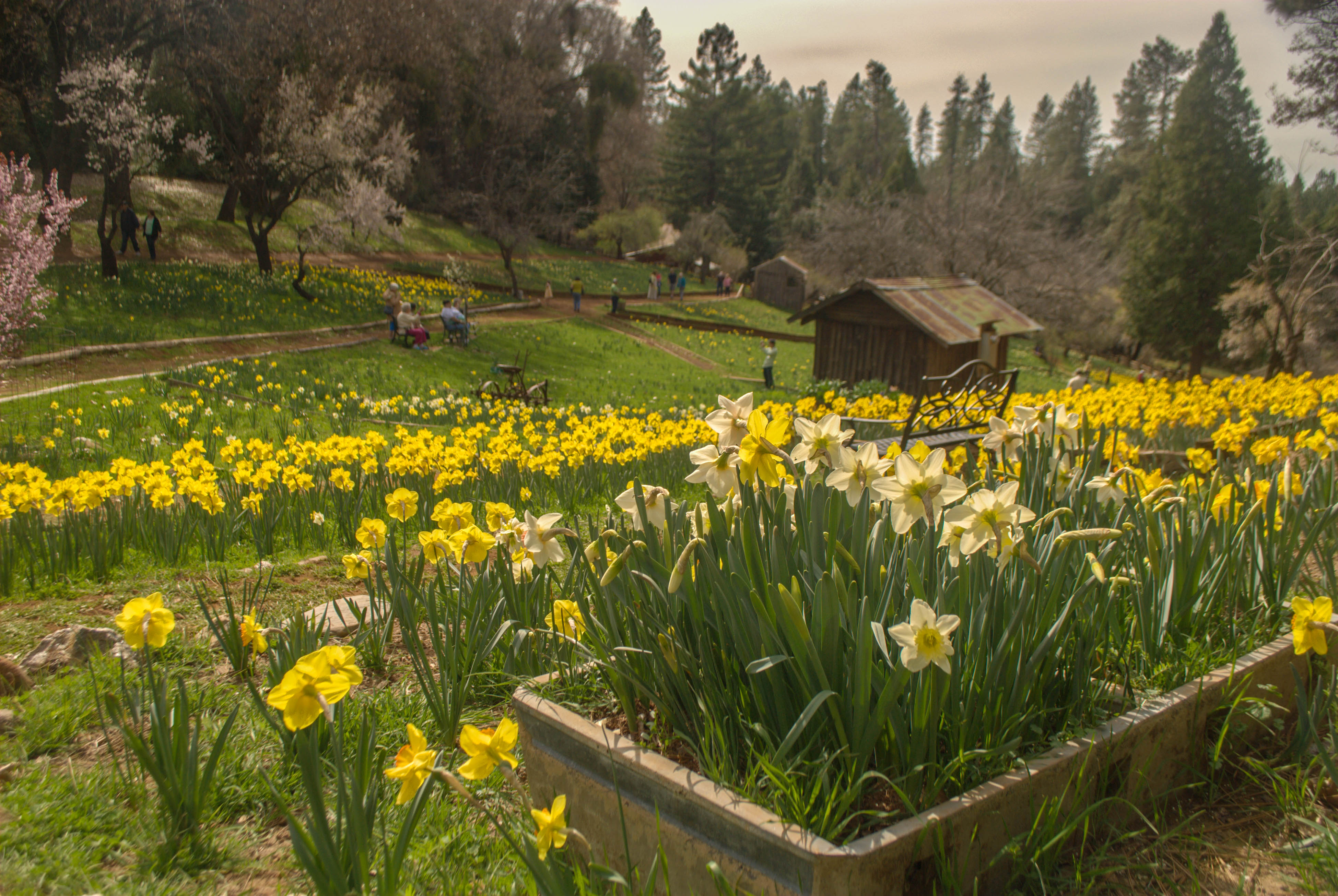
Daffodil Hill Daffodil

_8130154.NEF

Fiery sunset

Saturday night

PiPi 2008 037
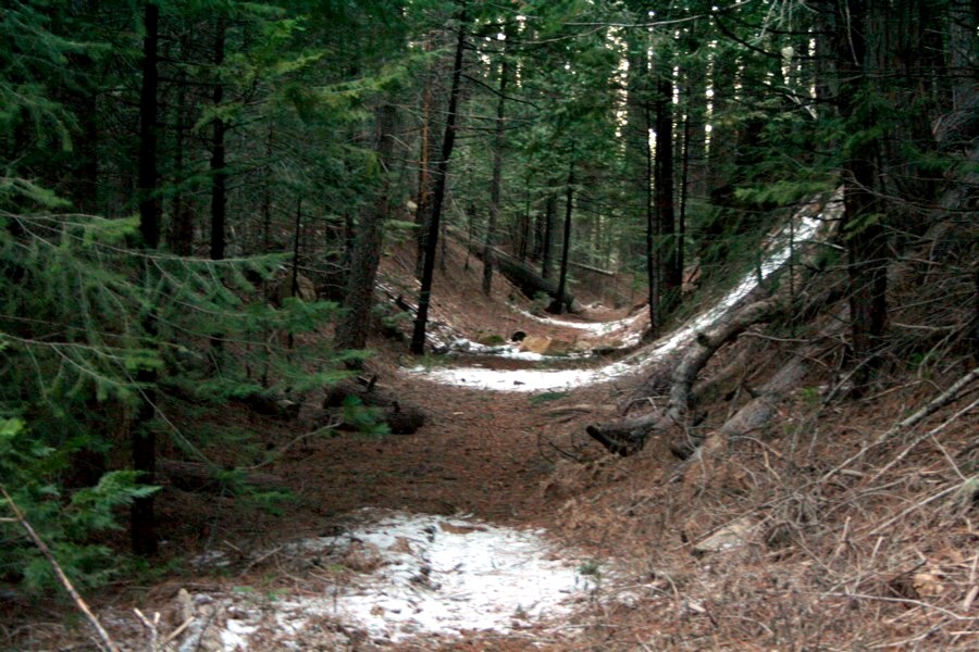
Trestle Trail 2

Trestle Trail 1

Daffodil Hill-89

DOS05-045

almost home

daffodil hill

Leoni meadow sundown

77:365 Daffodil Hill

Field of daffodils

ATR20130218-1638-185
Topographic Map of Cooks Station Ridge, California, USA
Find elevation by address:

Places near Cooks Station Ridge, California, USA:
California 88 & Omo Ranch Road
Cook's Station
Dew Drop Bypass
Dew Drop Bypass
California 88 & Shake Ridge Road
28900 Ca-88
28900 Ca-88
28832 Sierra Ct
21283 Sierra Cir Dr
20163 Sierra Cir Dr
20854 Sierra Cir Dr
California 88 & Fuentes Drive South
Black Station Inn
California 88 & Wandering Hills Road
Shake Ridge Road & Wandering Hills Road
20442 Chaparral Dr
27580 N Chaparral Ct
27415 Ashland Dr
Pipi Campground
Pi-pi Valley
Recent Searches:
- Elevation of Corso Fratelli Cairoli, 35, Macerata MC, Italy
- Elevation of Tallevast Rd, Sarasota, FL, USA
- Elevation of 4th St E, Sonoma, CA, USA
- Elevation of Black Hollow Rd, Pennsdale, PA, USA
- Elevation of Oakland Ave, Williamsport, PA, USA
- Elevation of Pedrógão Grande, Portugal
- Elevation of Klee Dr, Martinsburg, WV, USA
- Elevation of Via Roma, Pieranica CR, Italy
- Elevation of Tavkvetili Mountain, Georgia
- Elevation of Hartfords Bluff Cir, Mt Pleasant, SC, USA