Elevation of Pike County, KY, USA
Location: United States > Kentucky >
Longitude: -82.475275
Latitude: 37.4842087
Elevation: 419m / 1375feet
Barometric Pressure: 96KPa
Elevation Map:
Satellite Map:
Related Photos:

20110712-RD-LSC-0224

Butterfly Dreams
Pikeville, KY

Pauley Bridge

DND365 19

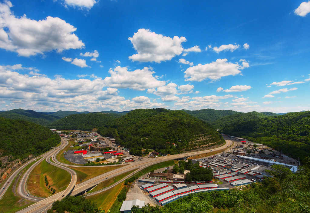
Day 239: Pikeville Cut-Through
Kentucky 2009 - 40
US 23/US 460 Future Interchange
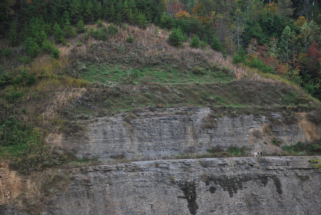
Goats at Greasy Creek Road

Greasy Creek Valley
US 23/US 460 Future Interchange
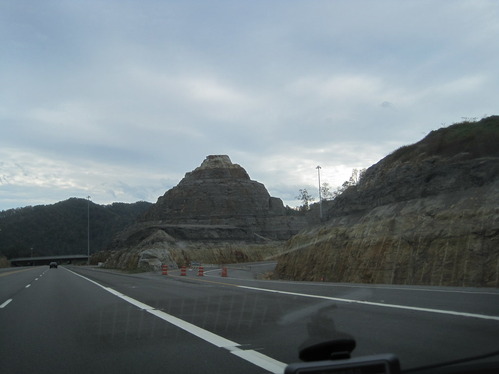
US 460 in Pike County, KY
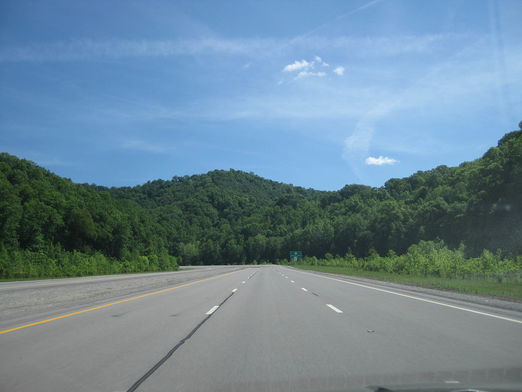
US 460 in Pike County, KY
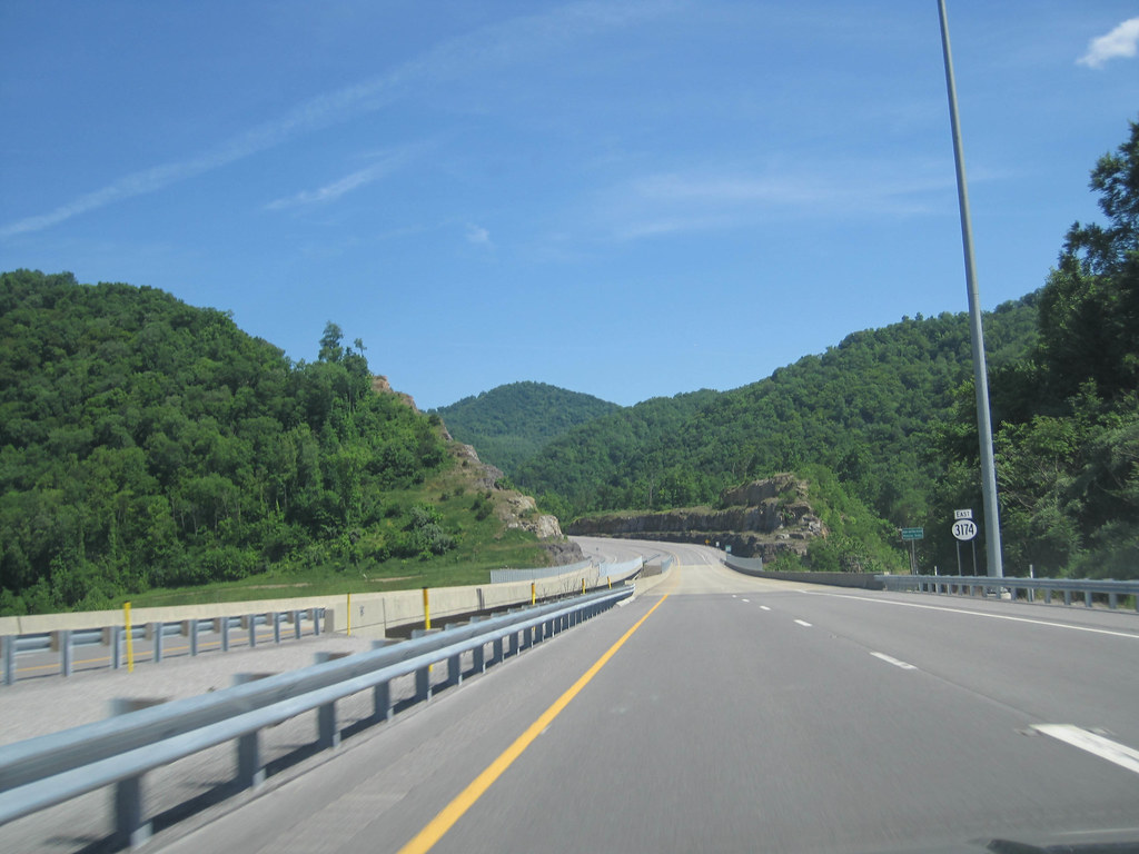
US 460 in Pike County, KY

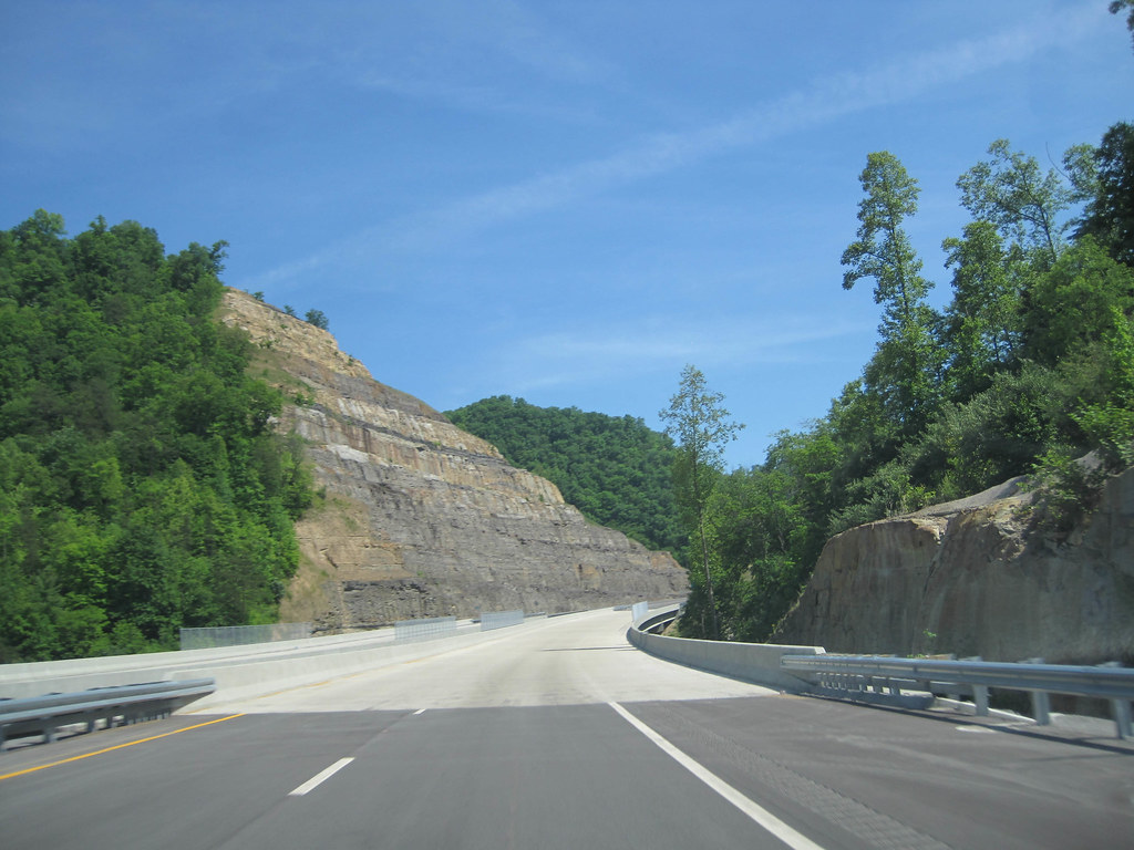
US 460 in Pike County, KY

US 460 in Pike County, KY
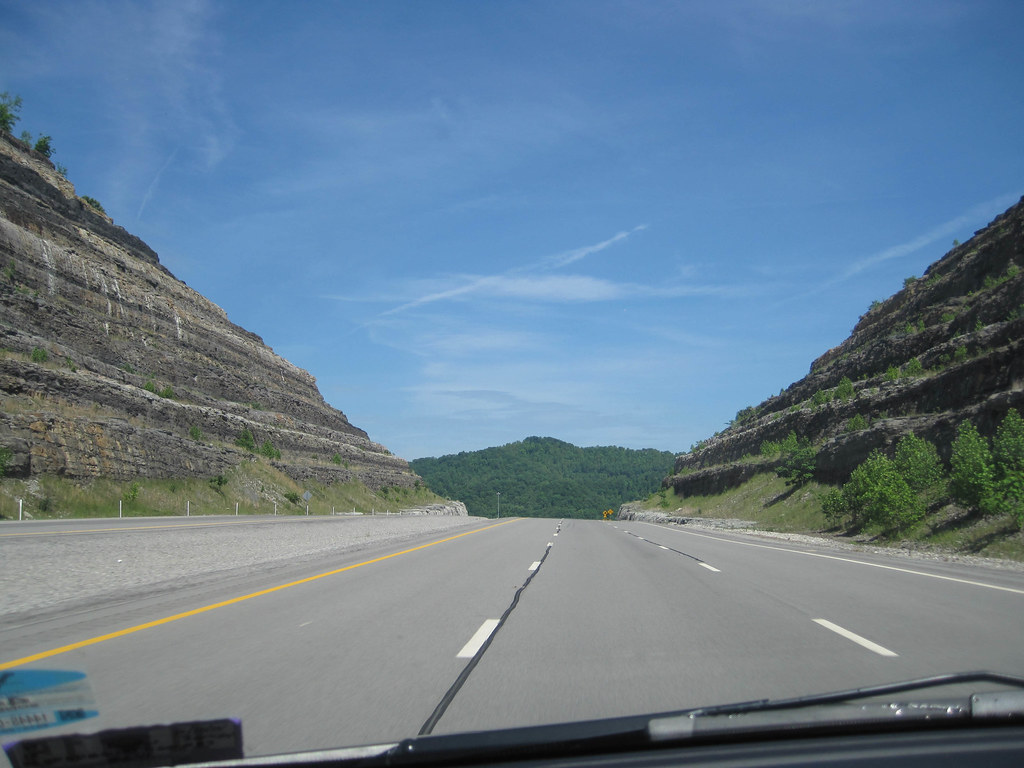
US 460 in Pike County, KY

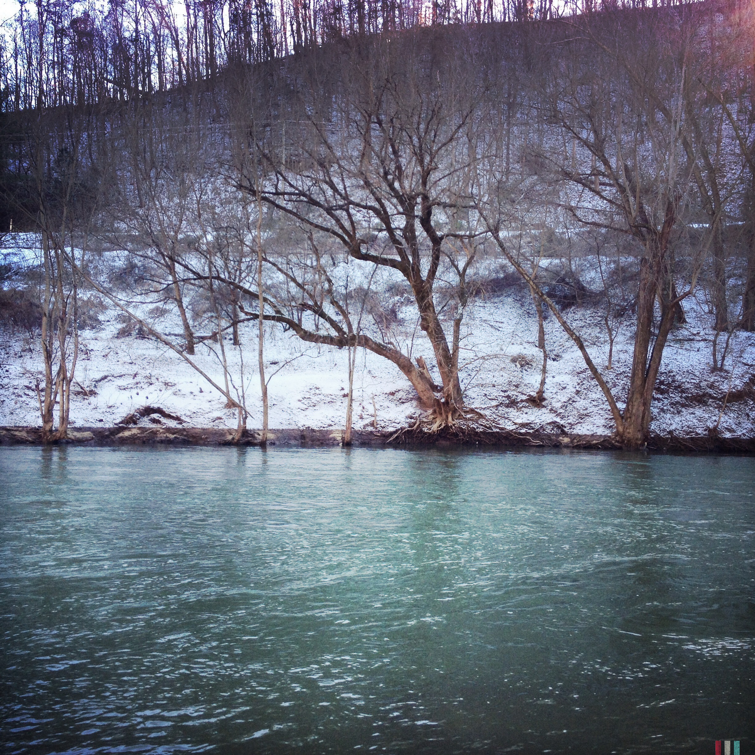
Winter Bridge

Grapevine Sunset
Levisa Fork: Big Sandy River
20110712-RD-LSC-0214

20110712RD-LSC-0231
God's Country

Bridge 310.1-06
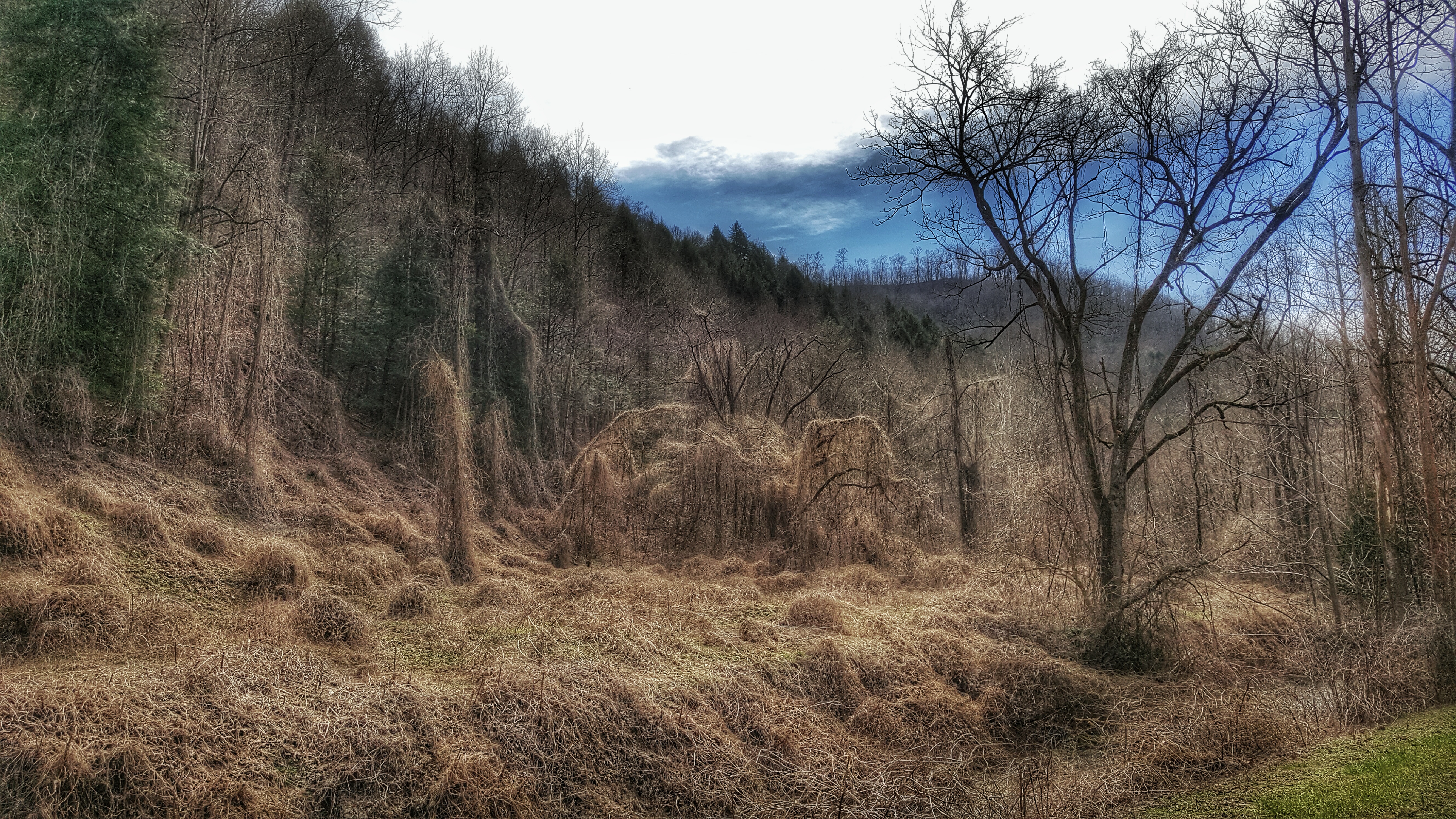
This is a field of dead kudzu. If you look close enough, it looks like a giant spider there in the middle. Taken with my Samsung Note 5.
Topographic Map of Pike County, KY, USA
Find elevation by address:

Places in Pike County, KY, USA:
Pikeville
Virgie
Elkhorn City
Cedarville
Mccarr
Shelbiana
Belfry
N Mayo Trail, Pikeville, KY, USA
Regina Belcher Hwy, Regina, KY, USA
Stone
Turkey Creek
Phelps
Canada
Phyllis
Ransom
Places near Pike County, KY, USA:
3008 Chloe Rd
9 Campbell Ln
400 Harolds Branch
Pikeville
4404 Chloe Rd
Island Creek Rd, Pikeville, KY, USA
S Mayo Trail, Pikeville, KY, USA
Shelbiana
9 Bob Amos Dr
2500 Collins Hwy
2655 N Mayo Trail
Little Creek, Pikeville, KY, USA
7143 Joes Creek
N Mayo Trail, Pikeville, KY, USA
Collins Hwy, Pikeville, KY, USA
N Mayo Trail, Pikeville, KY, USA
155 Harless Creek
Phyllis
US-23, Pikeville, KY, USA
Regina Belcher Hwy, Regina, KY, USA
Recent Searches:
- Elevation of Corso Fratelli Cairoli, 35, Macerata MC, Italy
- Elevation of Tallevast Rd, Sarasota, FL, USA
- Elevation of 4th St E, Sonoma, CA, USA
- Elevation of Black Hollow Rd, Pennsdale, PA, USA
- Elevation of Oakland Ave, Williamsport, PA, USA
- Elevation of Pedrógão Grande, Portugal
- Elevation of Klee Dr, Martinsburg, WV, USA
- Elevation of Via Roma, Pieranica CR, Italy
- Elevation of Tavkvetili Mountain, Georgia
- Elevation of Hartfords Bluff Cir, Mt Pleasant, SC, USA