Elevation of 9 Campbell Ln, Pikeville, KY, USA
Location: United States > Kentucky > Pike County > Pikeville >
Longitude: -82.472415
Latitude: 37.4536929
Elevation: 249m / 817feet
Barometric Pressure: 98KPa
Elevation Map:
Satellite Map:
Related Photos:

Butterfly Dreams

20110712-RD-LSC-0224

Pikeville, KY

20110712RD-LSC-0231

20110712-RD-LSC-0214

Pikeville Overlook

Pikeville Cut-Through

This is a field of dead kudzu. If you look close enough, it looks like a giant spider there in the middle. Taken with my Samsung Note 5.

Levisa Fork: Big Sandy River

ACS Building Pikeville KY 1

Pikeville Cut-Through

Pikeville Cut-Thru

Pikeville Cut-Thru

Pikeville Cut-Through

Rainbow Sunrise

God's Country

US 23/US 460 Future Interchange
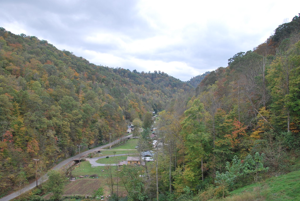
Greasy Creek Valley

US 460 at Wolfpit Branch Road

US 460 in Pike County, KY

US 23/US 460 Future Interchange

Goats at Greasy Creek Road

Grapevine Sunset

Winter Bridge
Topographic Map of 9 Campbell Ln, Pikeville, KY, USA
Find elevation by address:

Places near 9 Campbell Ln, Pikeville, KY, USA:
3008 Chloe Rd
4404 Chloe Rd
Pike County
Shelbiana
400 Harolds Branch
S Mayo Trail, Pikeville, KY, USA
Pikeville
Island Creek Rd, Pikeville, KY, USA
2500 Collins Hwy
9 Bob Amos Dr
Little Creek, Pikeville, KY, USA
Collins Hwy, Pikeville, KY, USA
2655 N Mayo Trail
155 Harless Creek
US-23, Pikeville, KY, USA
Regina Belcher Hwy, Regina, KY, USA
N Mayo Trail, Pikeville, KY, USA
3526 Marrowbone Creek Rd
7143 Joes Creek
Phyllis
Recent Searches:
- Elevation of Corso Fratelli Cairoli, 35, Macerata MC, Italy
- Elevation of Tallevast Rd, Sarasota, FL, USA
- Elevation of 4th St E, Sonoma, CA, USA
- Elevation of Black Hollow Rd, Pennsdale, PA, USA
- Elevation of Oakland Ave, Williamsport, PA, USA
- Elevation of Pedrógão Grande, Portugal
- Elevation of Klee Dr, Martinsburg, WV, USA
- Elevation of Via Roma, Pieranica CR, Italy
- Elevation of Tavkvetili Mountain, Georgia
- Elevation of Hartfords Bluff Cir, Mt Pleasant, SC, USA