Elevation of Pierce County, WI, USA
Location: United States > Wisconsin >
Longitude: -92.381362
Latitude: 44.7508921
Elevation: 318m / 1043feet
Barometric Pressure: 98KPa
Elevation Map:
Satellite Map:
Related Photos:

peonies, in the rain
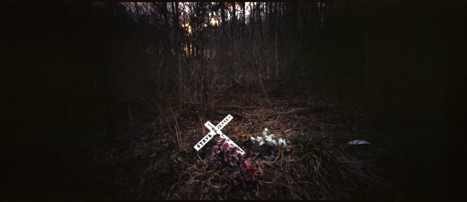
roadside memorial, spring valley
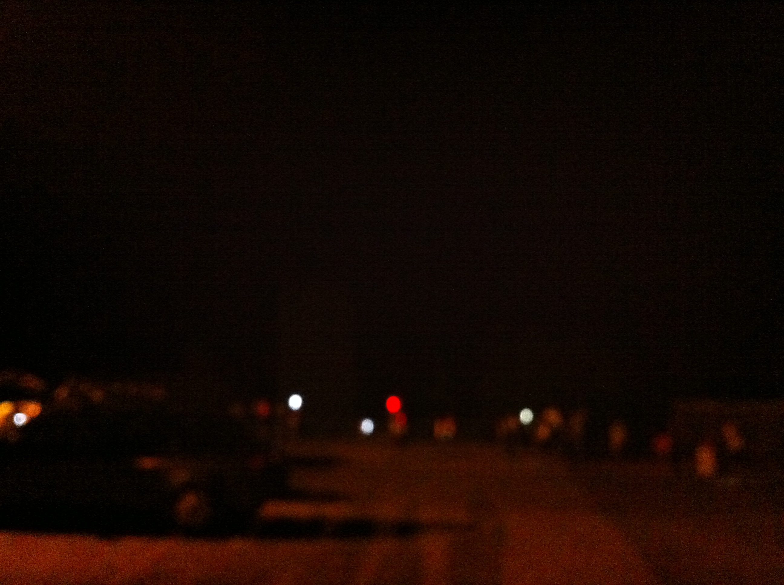
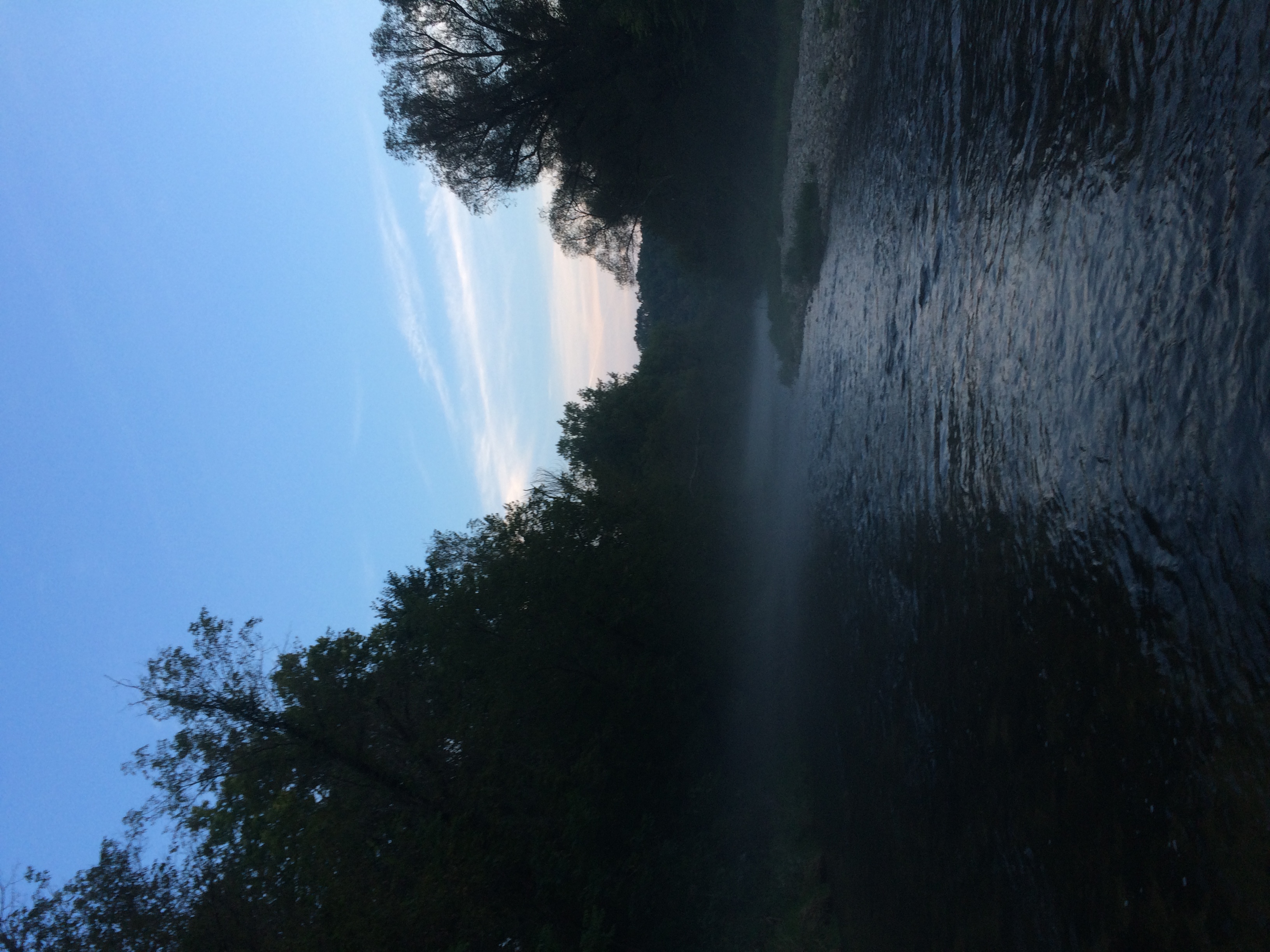
Night run view
#Fishing #PierceCounty #Wisconsin #BrookTrout #River #Stream #Flyfishing
// Remnants of a hard life.
Unnamed Cemetery, Pierce Co., WI

12 Spotted Skimmer (Libellula pulchella)
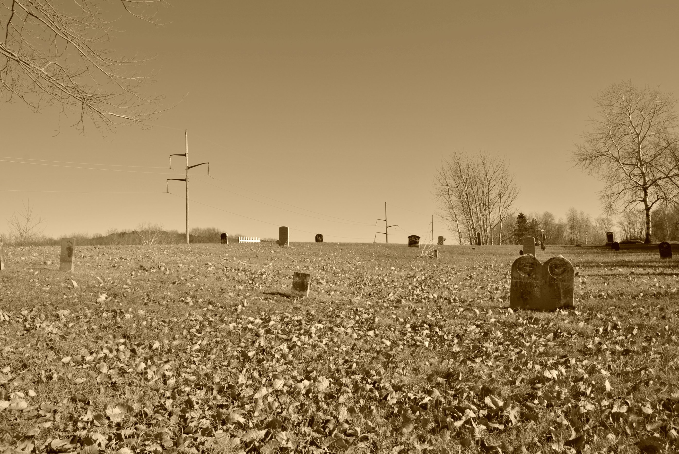
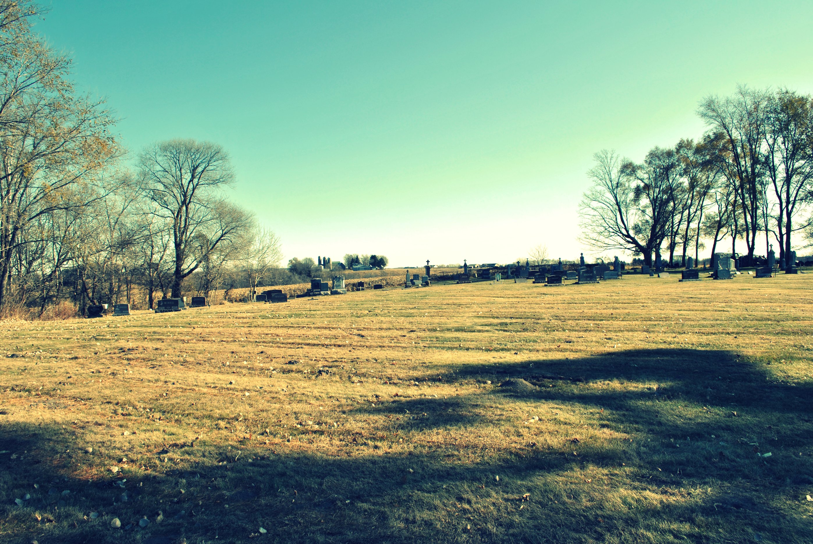
Mt. Olivet Cemetery, Pierce/St. Croix County Line, WI
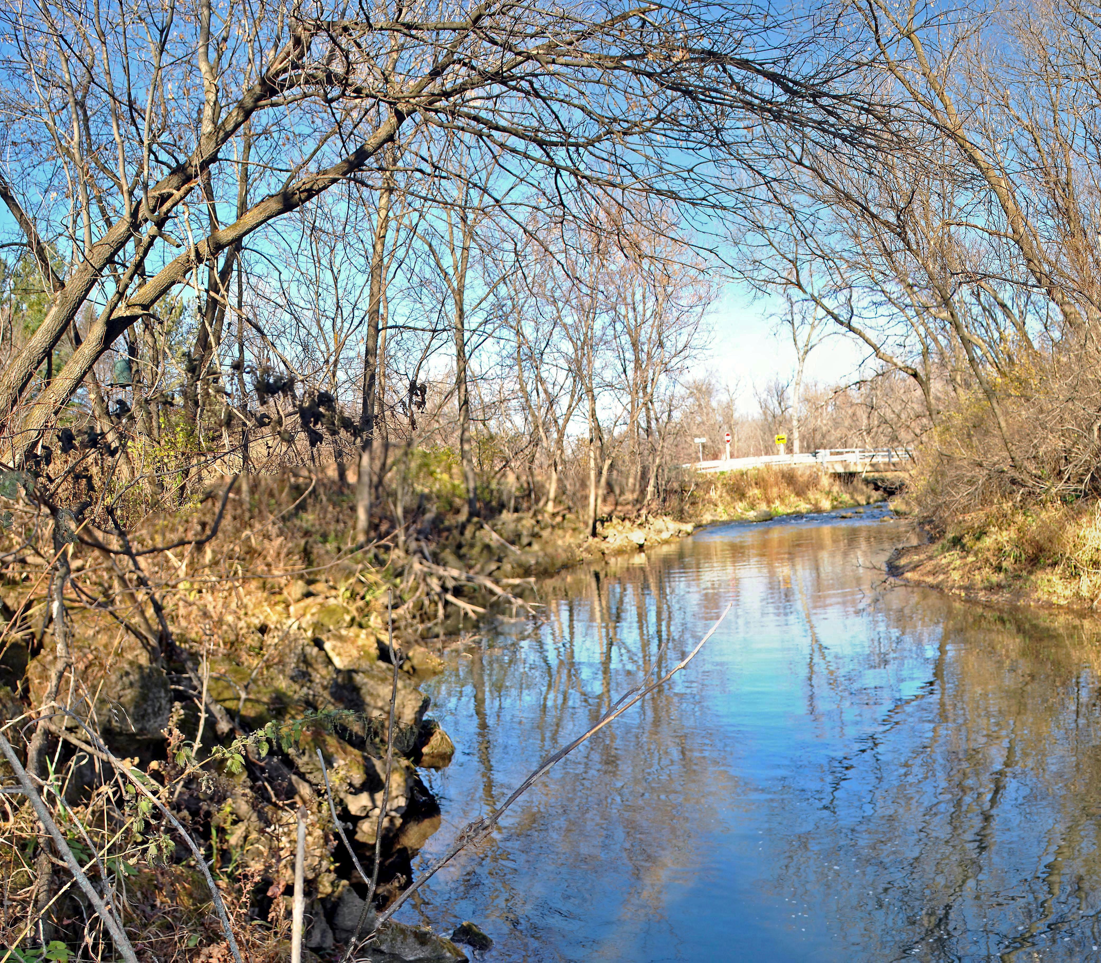
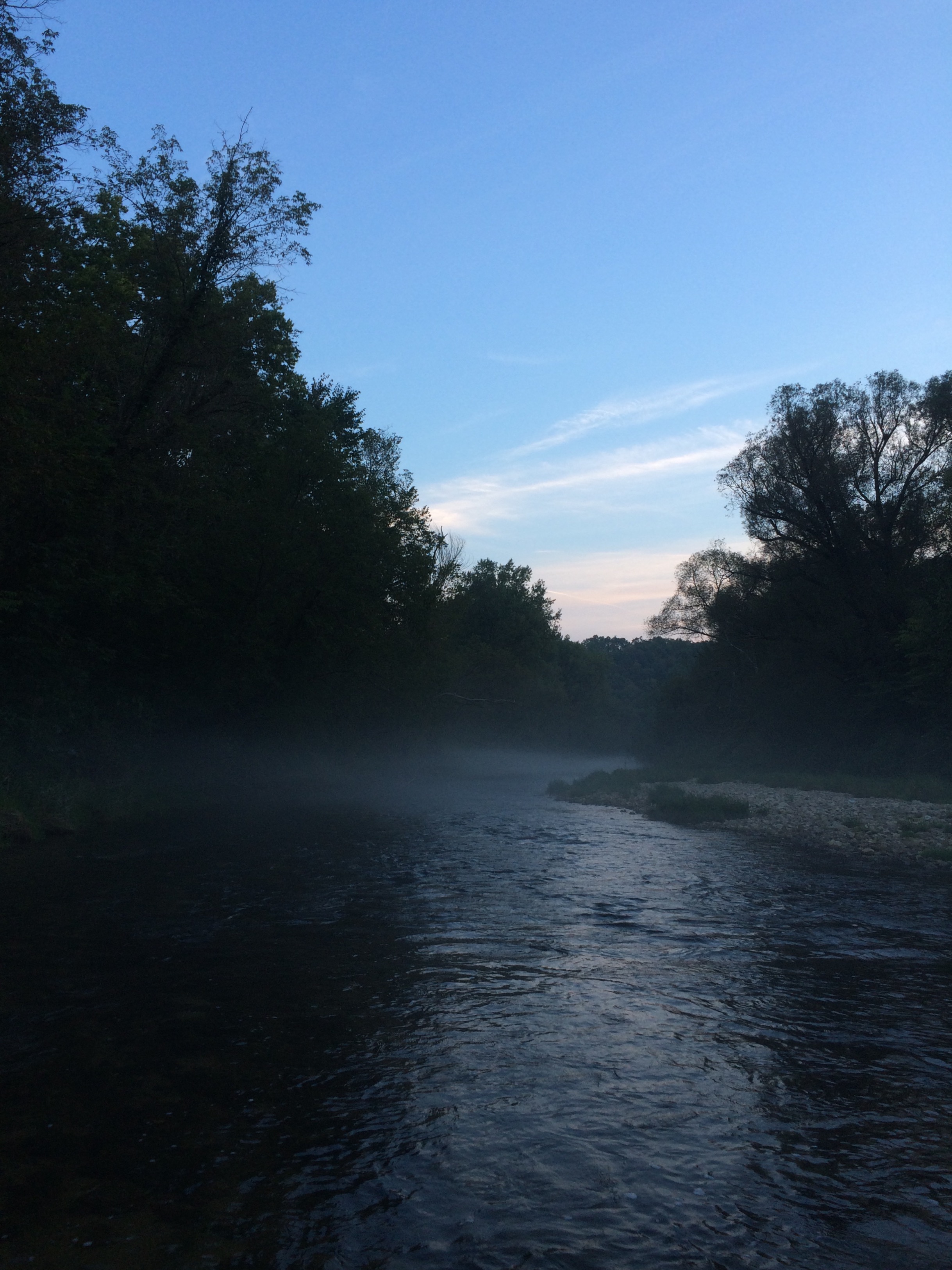
Trimbelle River @ Leonard Park
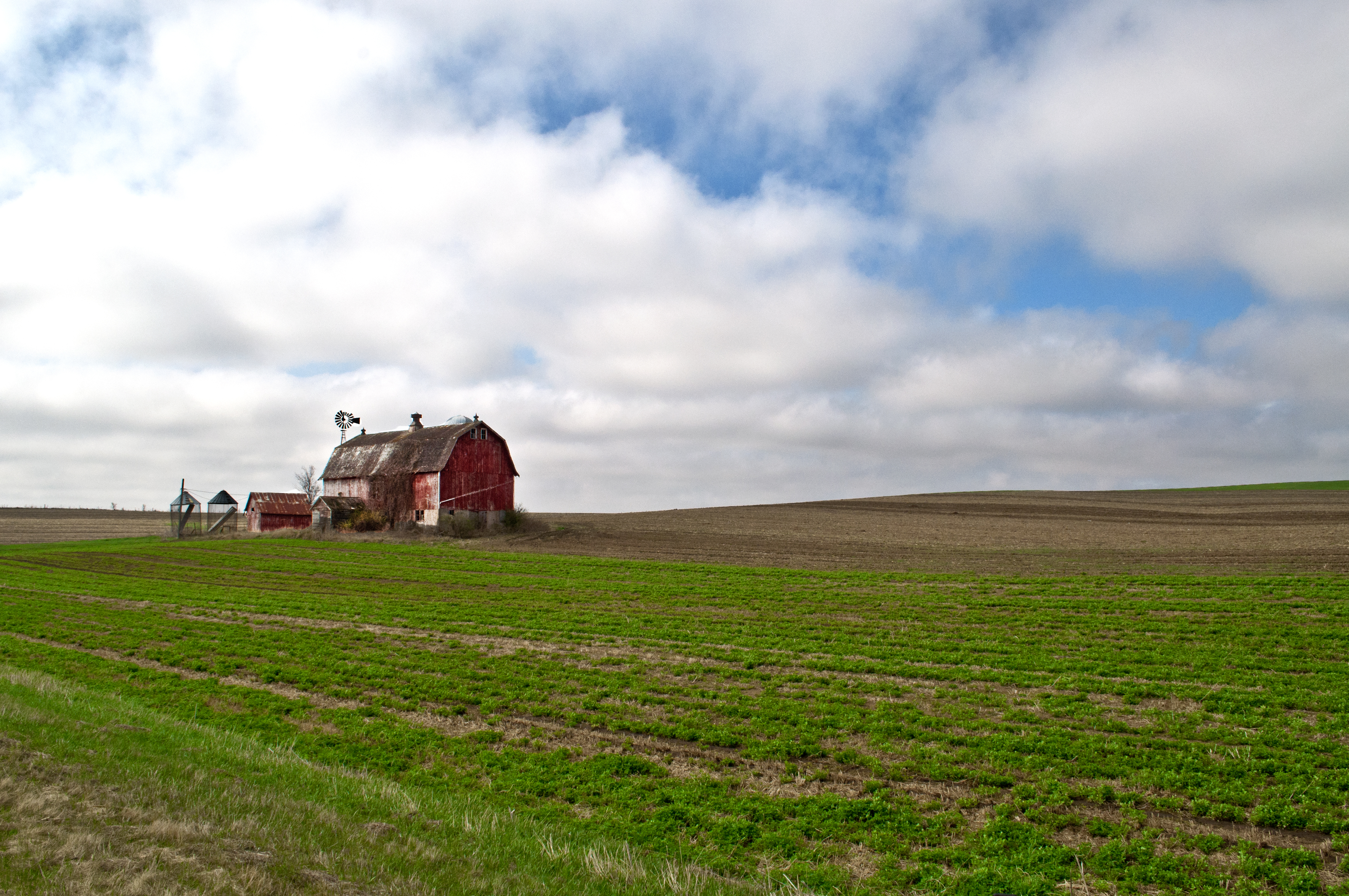
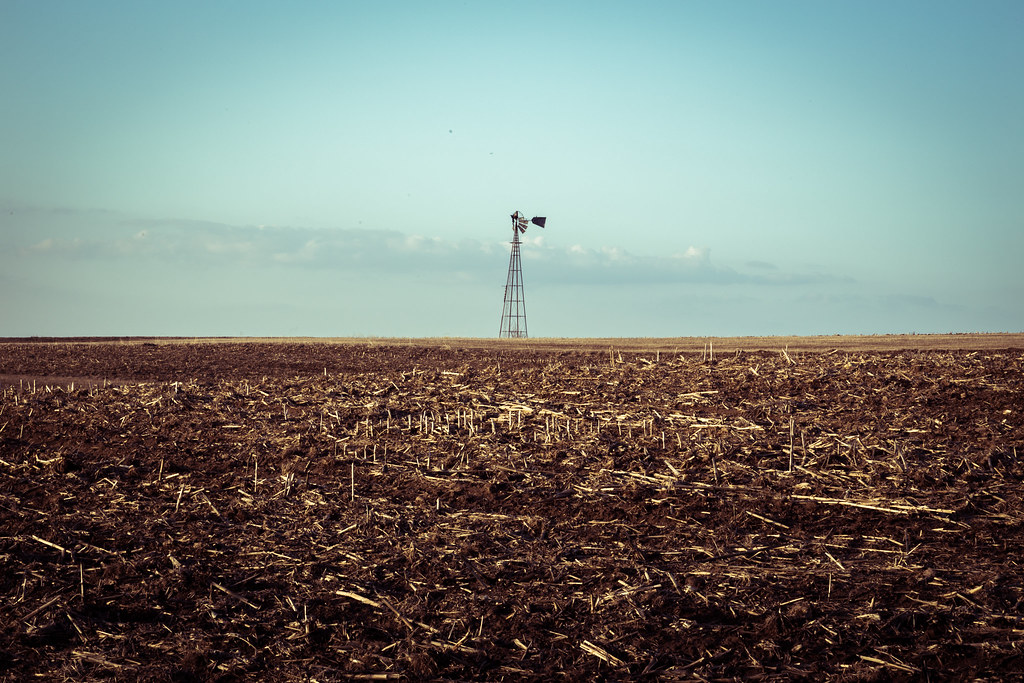
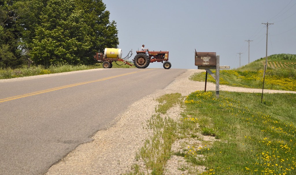
Spring on the farm
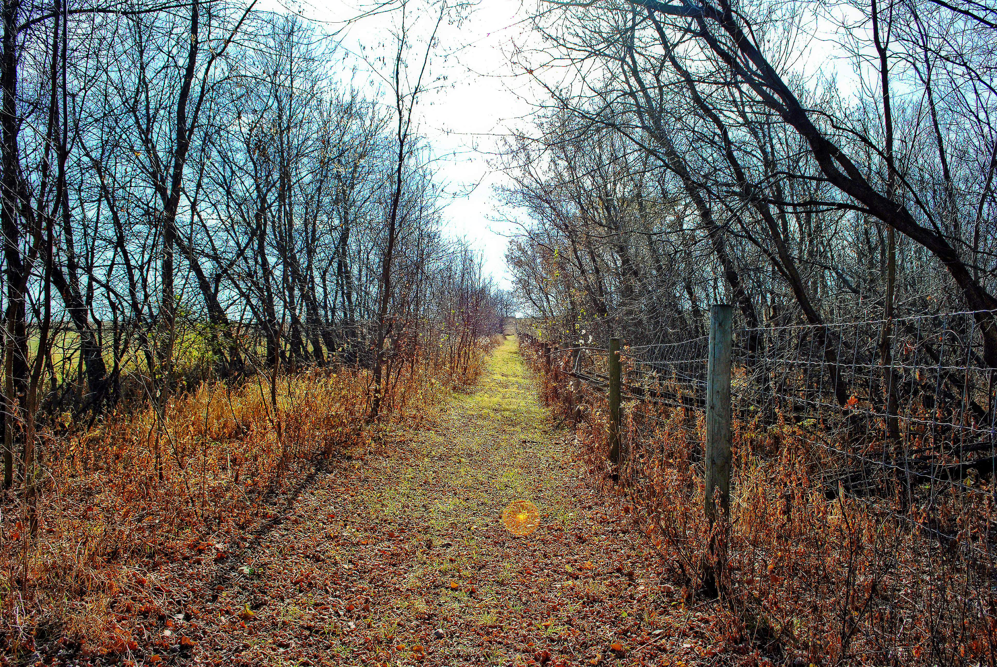
Rural Pierce County, WI
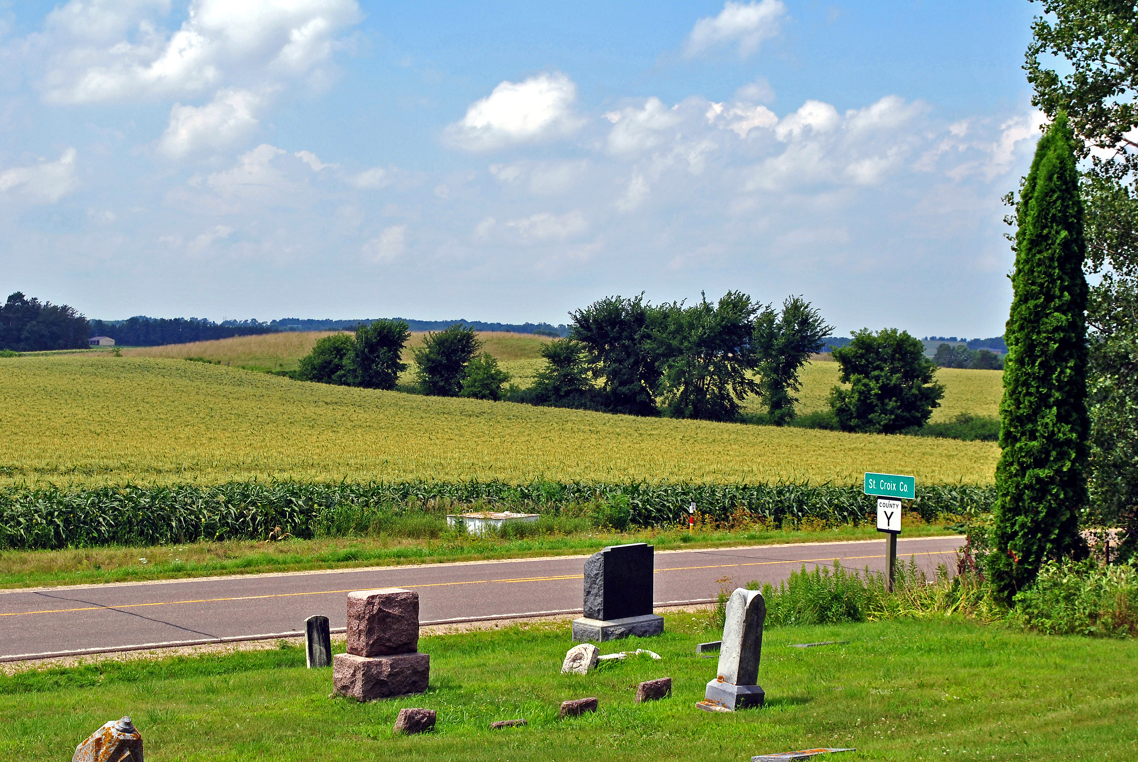
St. Francis Catholic Cemetery, El Paso Township, WI
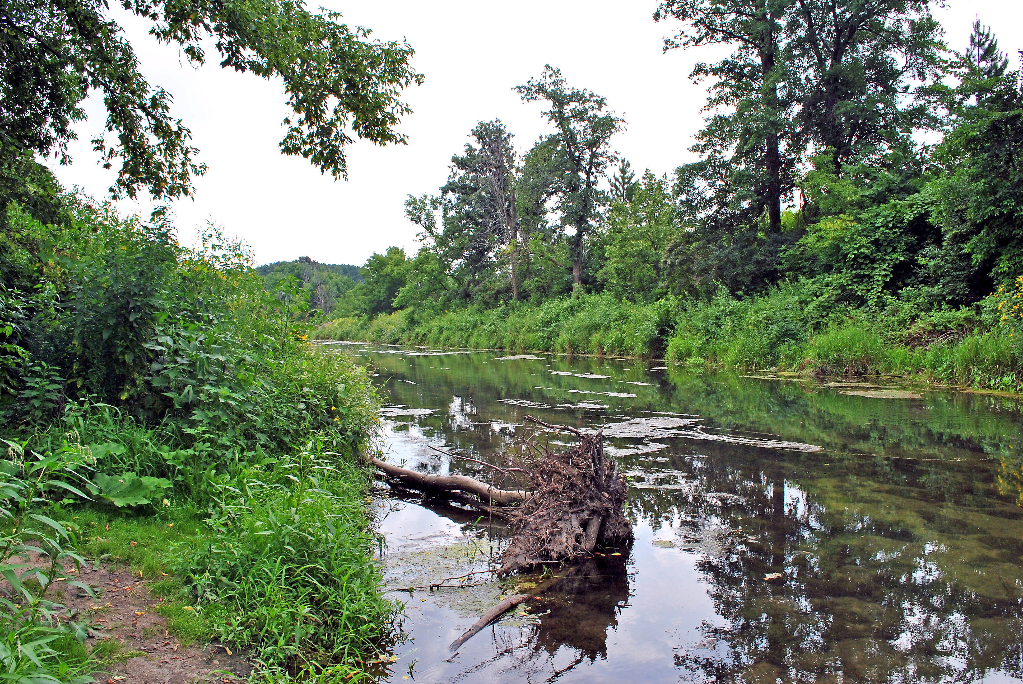
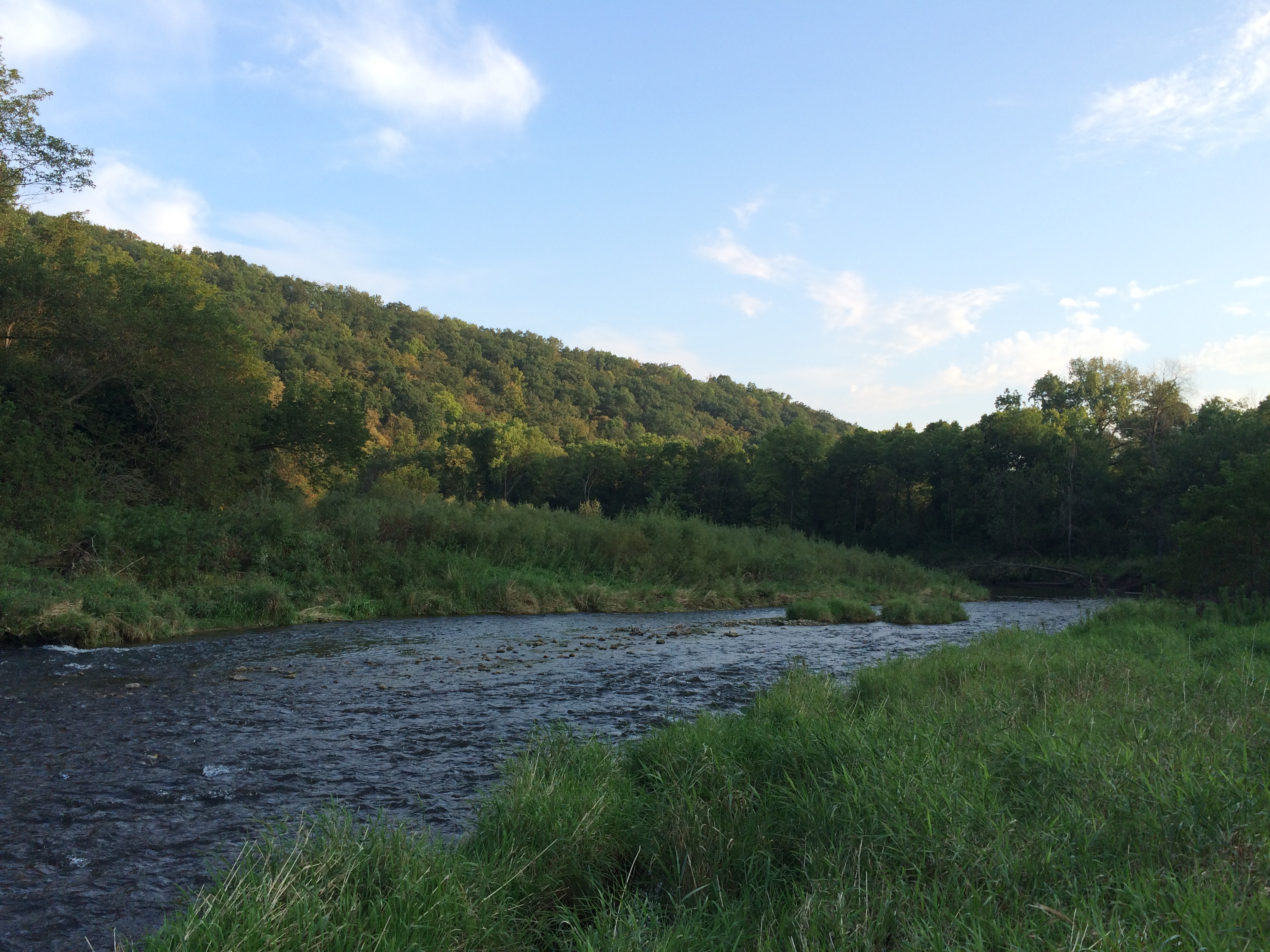
Rush River, below State Highway 29
The Olsons
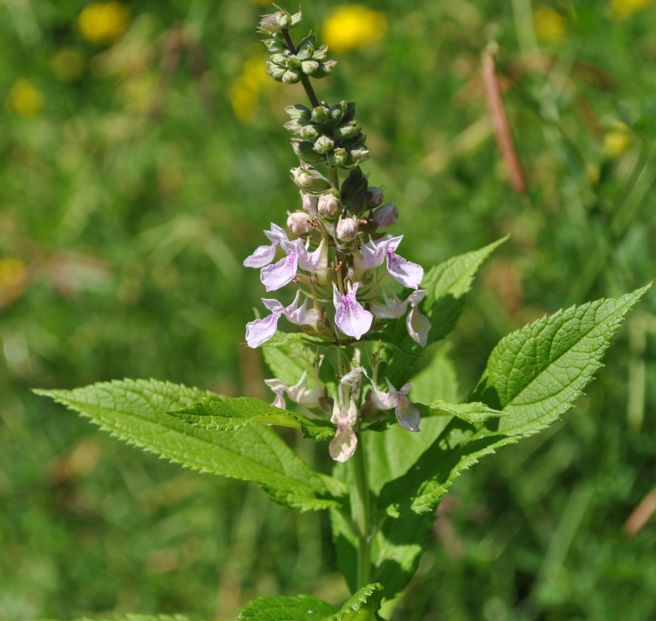
Germander (Teucrium canadense)

2013-05-12_17-55-29_317
#Fishing #PierceCounty #Wisconsin #BrookTrout #River #Stream #Flyfishing
#Fishing #PierceCounty #Wisconsin #BrookTrout #River #Stream #Flyfishing
Topographic Map of Pierce County, WI, USA
Find elevation by address:

Places in Pierce County, WI, USA:
Maiden Rock
River Falls
Isabelle
Plum City
E Race Ave, Elmwood, WI, USA
th St, Elmwood, WI, USA
th Ave, Prescott, WI, USA
th Ave, Hager City, WI, USA
WI-72, Elmwood, WI, USA
Spring Valley
Maiden Rock
Union
Places near Pierce County, WI, USA:
31 County Rd Y, Baldwin, WI, USA
WI-72, Elmwood, WI, USA
W2686 390th Ave
WI-35, Bay City, WI, USA
th St, Elmwood, WI, USA
Rush River
Isabelle
Spring Valley
N1131 451st St
N1036
Bay City
US-10, Ellsworth, WI, USA
Maiden Rock
W1184 355th Ave
US-61, Red Wing, MN, USA
Baldwin
County Rd K, Hager City, WI, USA
Maiden Rock
Plum City
Maple Ave E, Plum City, WI, USA
Recent Searches:
- Elevation of Corso Fratelli Cairoli, 35, Macerata MC, Italy
- Elevation of Tallevast Rd, Sarasota, FL, USA
- Elevation of 4th St E, Sonoma, CA, USA
- Elevation of Black Hollow Rd, Pennsdale, PA, USA
- Elevation of Oakland Ave, Williamsport, PA, USA
- Elevation of Pedrógão Grande, Portugal
- Elevation of Klee Dr, Martinsburg, WV, USA
- Elevation of Via Roma, Pieranica CR, Italy
- Elevation of Tavkvetili Mountain, Georgia
- Elevation of Hartfords Bluff Cir, Mt Pleasant, SC, USA