Elevation of th Ave, Hager City, WI, USA
Location: United States > Wisconsin > Pierce County >
Longitude: -92.56471
Latitude: 44.604021
Elevation: 236m / 774feet
Barometric Pressure: 99KPa
Elevation Map:
Satellite Map:
Related Photos:
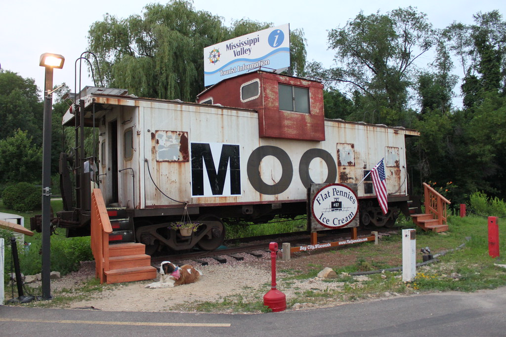
MOO Caboose

Mario Bros Cake
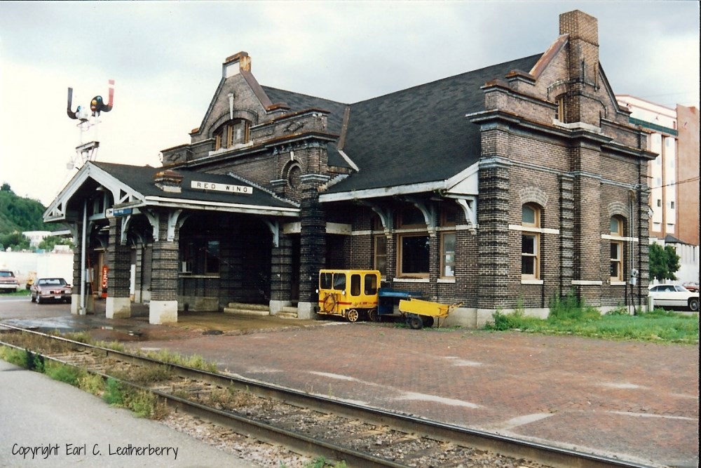
Chicago, Milwaukee, St. Paul & Pacific Railroad- Milwaukee Road, Minnesota, Red Wing
A different point of view

Red Wing Foursquare Church

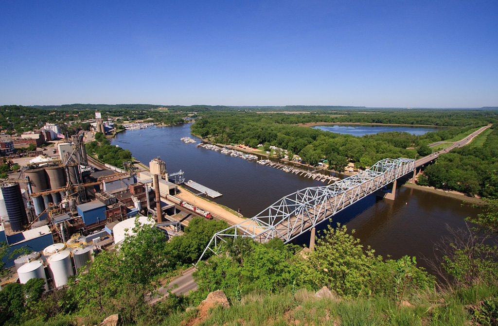
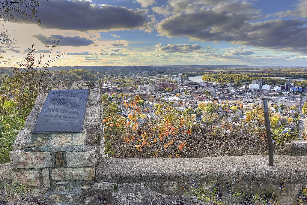
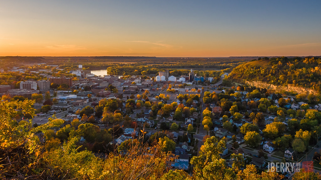
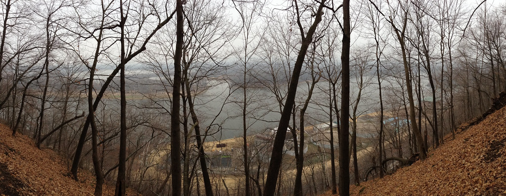
View from the Bluff
E3_20140608_155304_0040_v01 .. Diamond Bluff WI

Five Cent Ghost
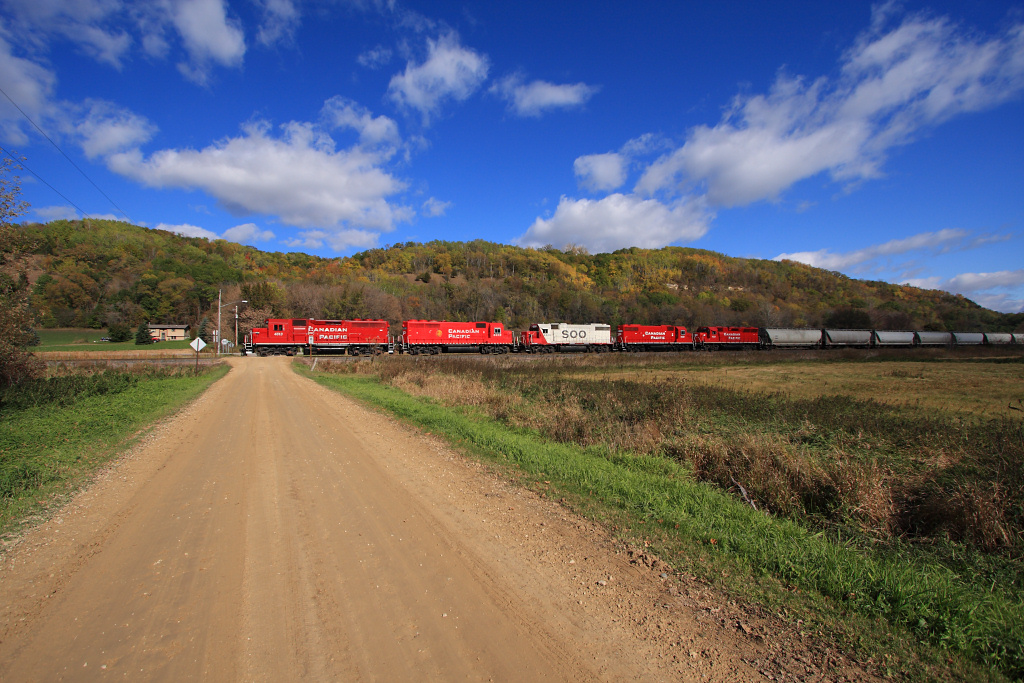
CP 580 with SOO GP's; Barn Bluff, Red Wing, MN
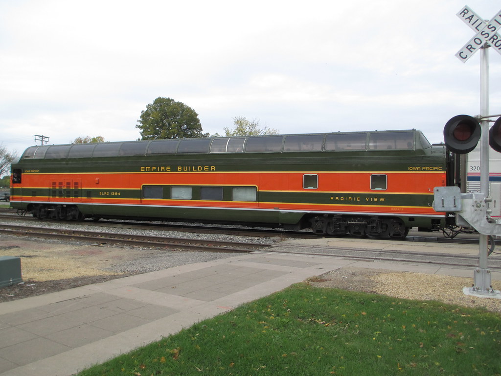
Empire Builder II

1993-04 Hager City 02 Misty Morning

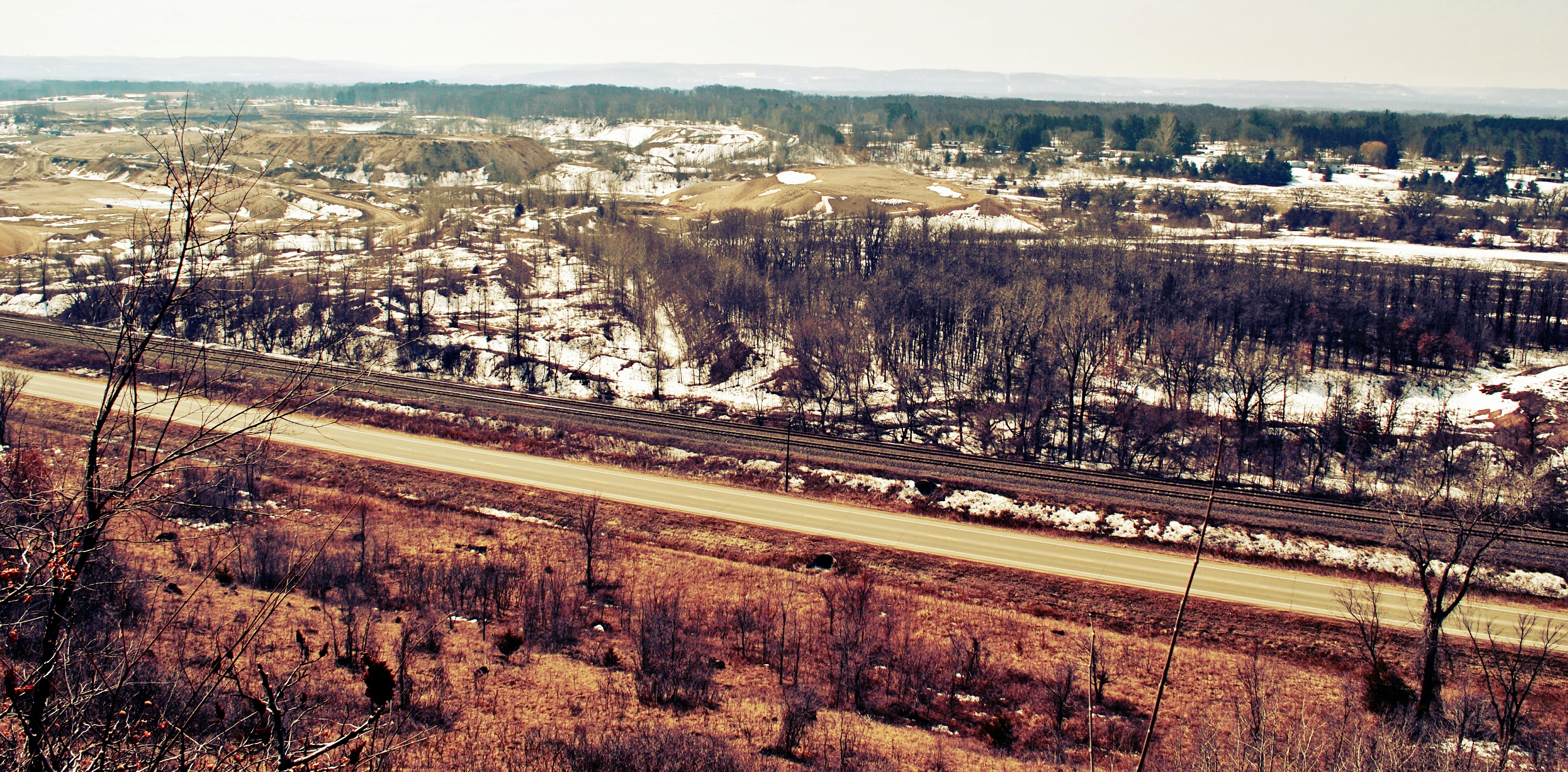
Hager City bluffs
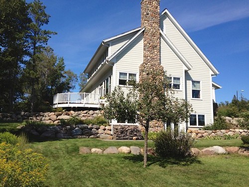
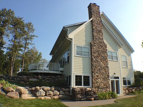
South End View of Home

chilly view

Road Around the Bluff

Front Left Side View
Moondance Inn, View from Pine Street

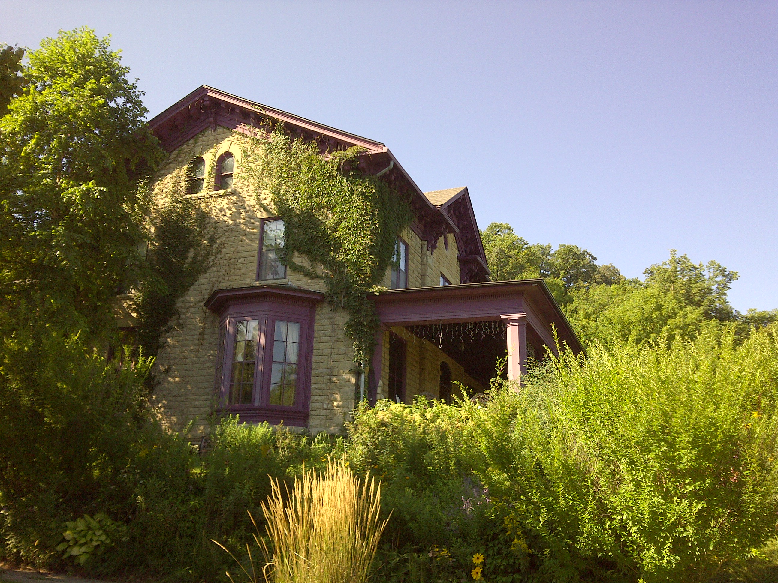
South Side View
South Side View
View from the Top
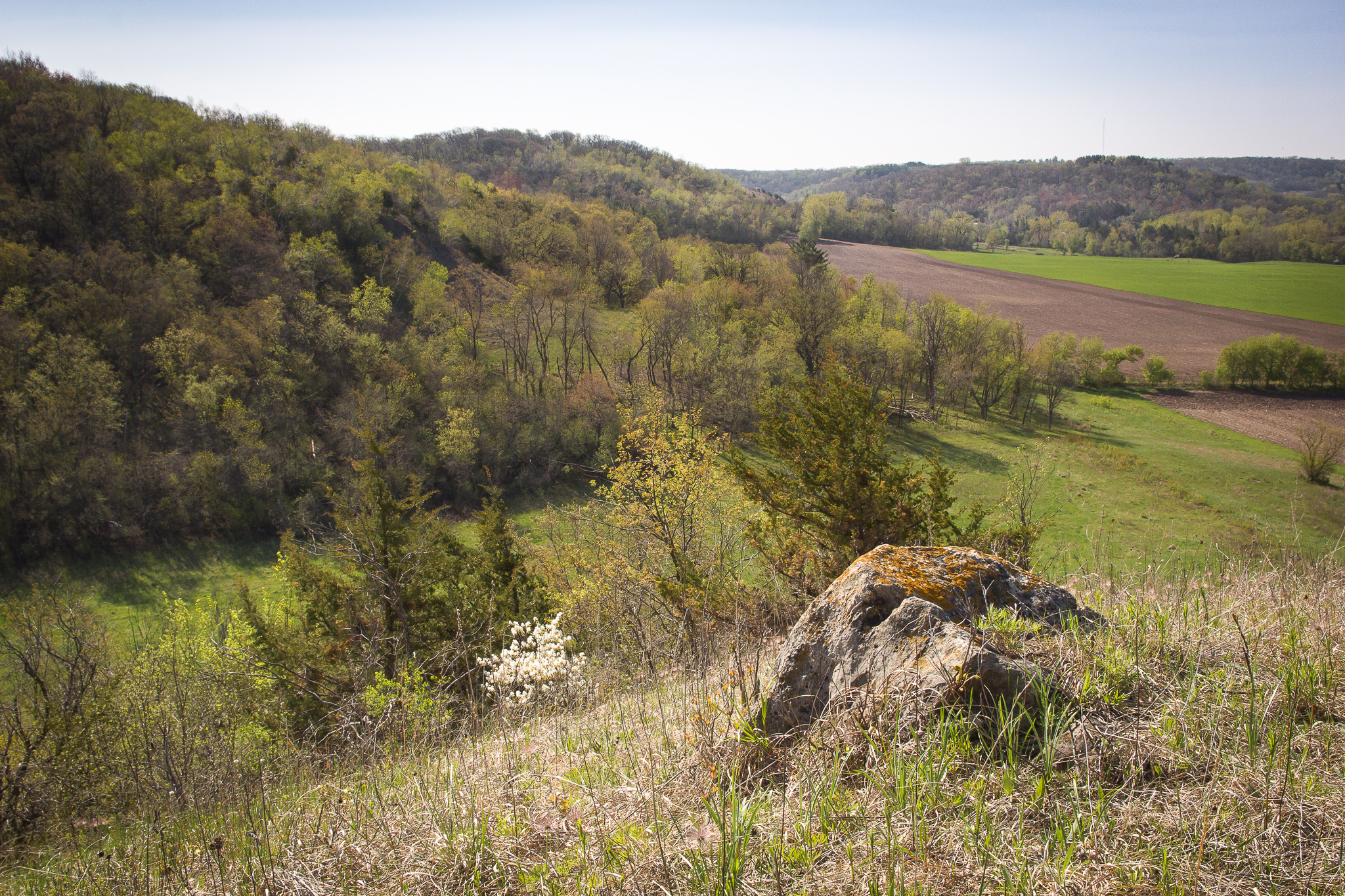
The View from Trenton Bluff Prairie State Natural Area

Milky Way Through a Canopy of Trees
// Remnants of a hard life.
Barn Bluff in Red Wing. Possibly one of the nicest days of the year to enjoy its beauty. #christopherjfranklinphotography #onlyinmn #onlyinmn_statefair #capturemm #minnesota #mn #barnbluff #redwing #landscape #16x9 #16x9club

IMG_8501-Edit
BEST YET
// Back Channel Sunset
// Parallel Lives
_A132821.jpg
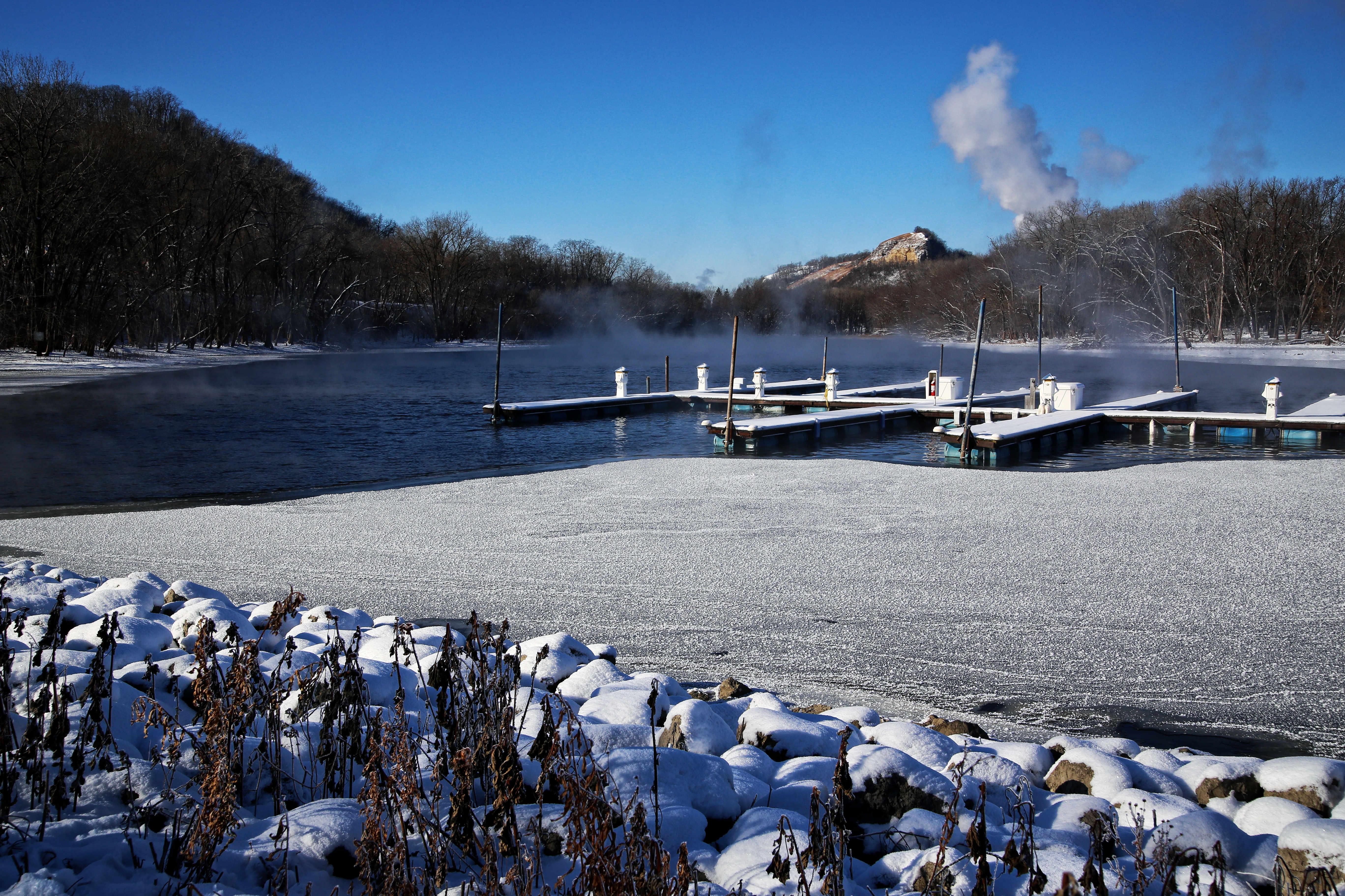
Frozen Pier
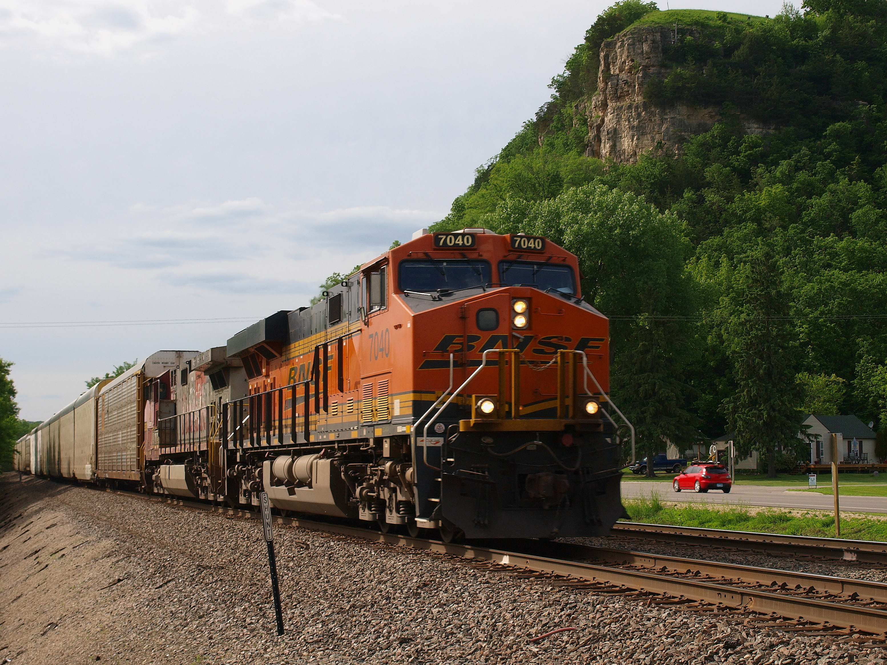
CP 4613, Red Wing, MN
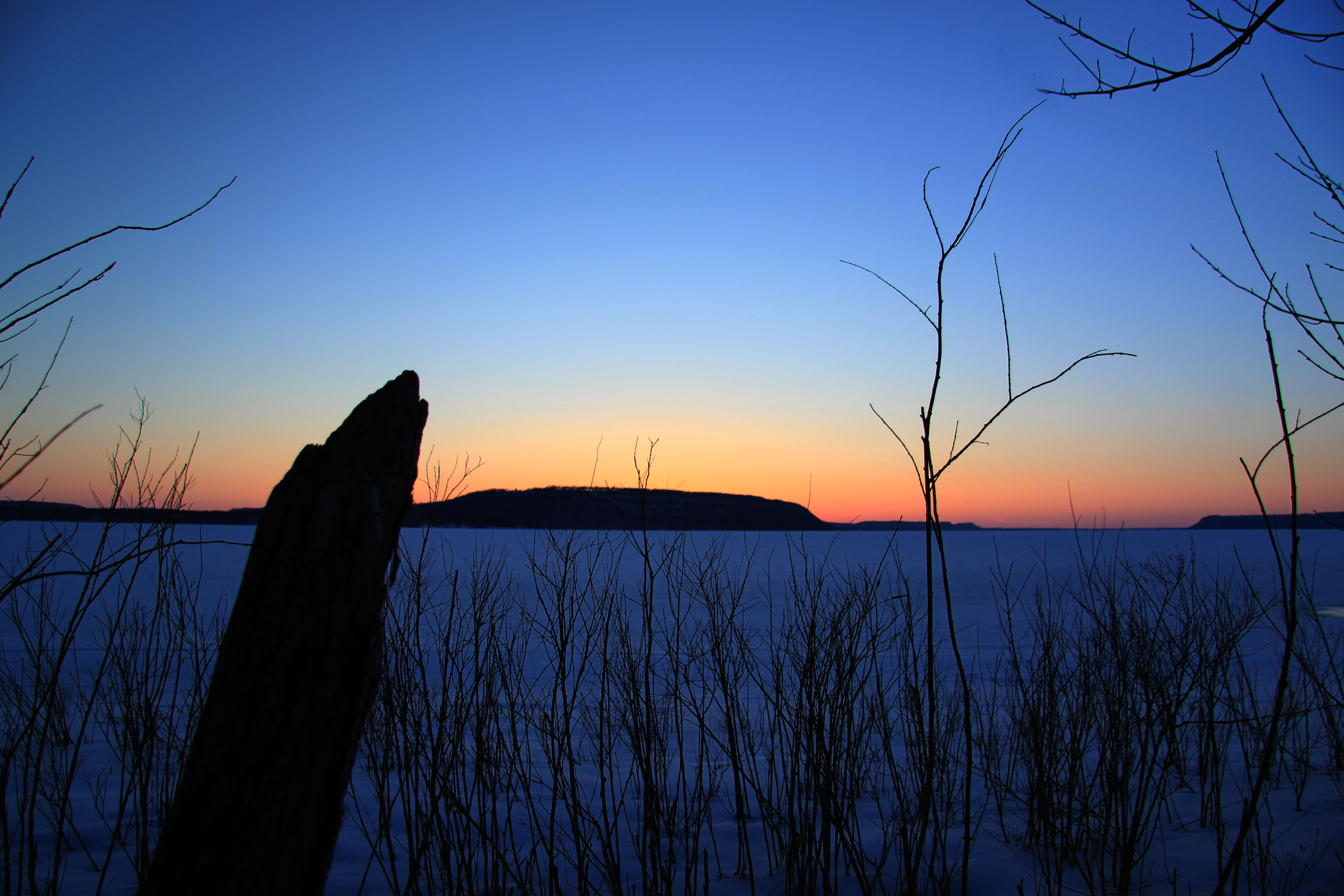
Bay City, WI- looking across Lake Pepin
Bluff Country

Fighter Escorts

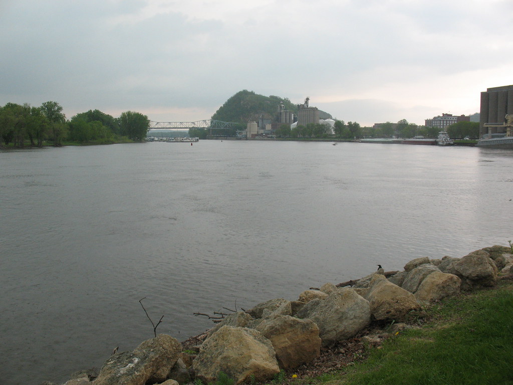
Barn Bluff
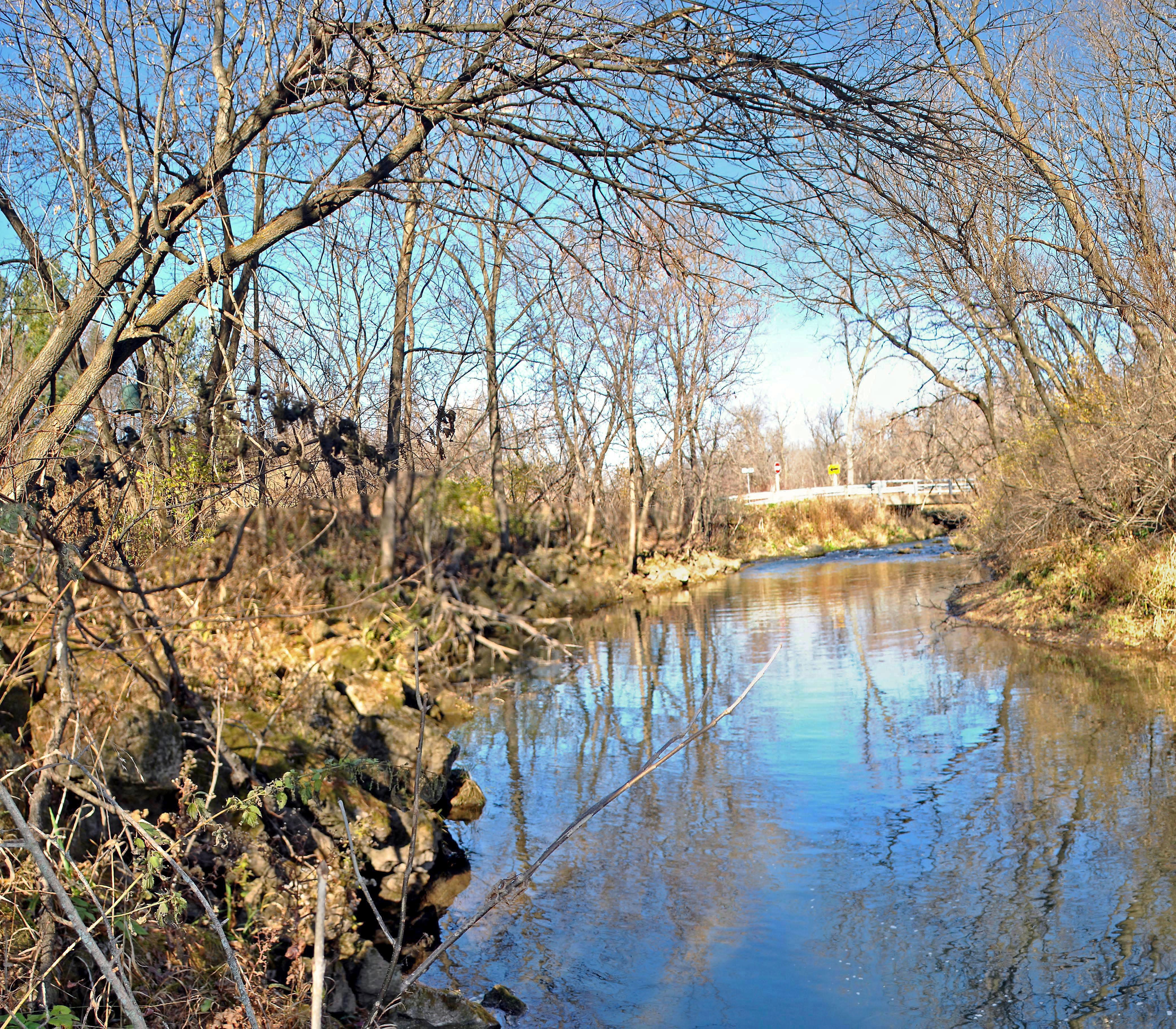
Trimbelle River @ Leonard Park
IMG_1982.jpg

Celithemis eponina
@ red wing
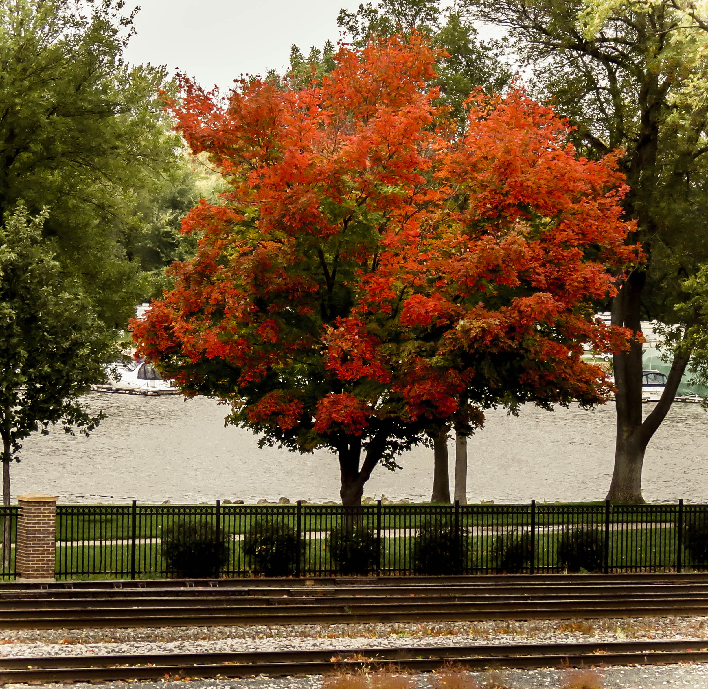
Maple Tree

Celithemis eponina
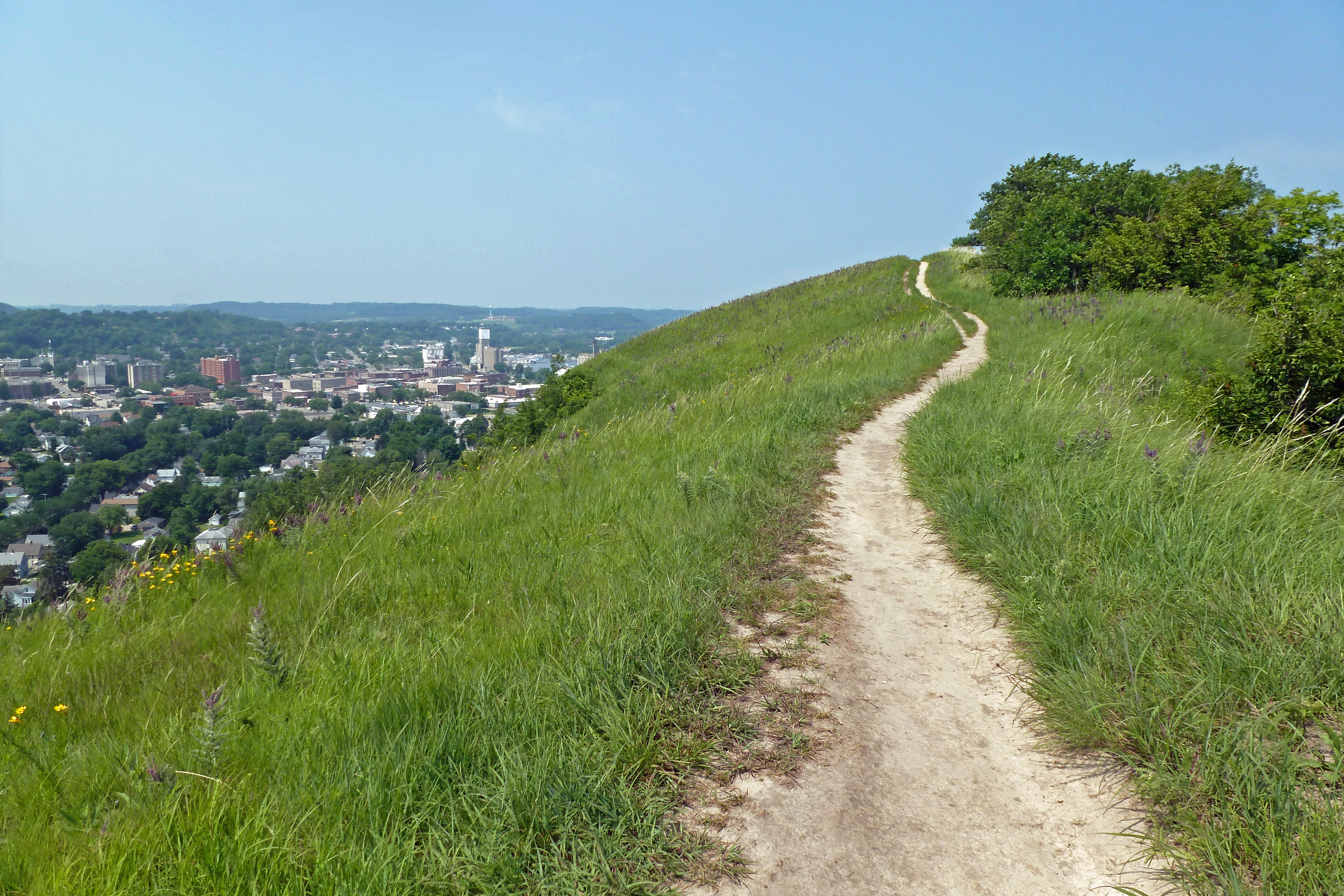
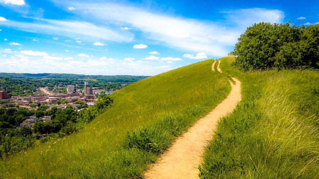
trail and city
Topographic Map of th Ave, Hager City, WI, USA
Find elevation by address:

Places near th Ave, Hager City, WI, USA:
County Rd K, Hager City, WI, USA
2965 Pepin Ave
Red Wing
3413 Briarview Ct
Aurora Cir, Red Wing, MN, USA
5734 Sturgeon Lake Rd
6425 Sturgeon Lake Rd
County 18 Blvd, Welch, MN, USA
6690 Sturgeon Lake Rd
Hay Creek Valley Campground And Old Western Saloon
Bay City
US-10, Ellsworth, WI, USA
Hay Creek Township
US-61, Red Wing, MN, USA
th Ave, Prescott, WI, USA
Welch Township
Isabelle
County 3 Blvd, Goodhue, MN, USA
County 52 Blvd, Goodhue, MN, USA
WI-35, Bay City, WI, USA
Recent Searches:
- Elevation of Corso Fratelli Cairoli, 35, Macerata MC, Italy
- Elevation of Tallevast Rd, Sarasota, FL, USA
- Elevation of 4th St E, Sonoma, CA, USA
- Elevation of Black Hollow Rd, Pennsdale, PA, USA
- Elevation of Oakland Ave, Williamsport, PA, USA
- Elevation of Pedrógão Grande, Portugal
- Elevation of Klee Dr, Martinsburg, WV, USA
- Elevation of Via Roma, Pieranica CR, Italy
- Elevation of Tavkvetili Mountain, Georgia
- Elevation of Hartfords Bluff Cir, Mt Pleasant, SC, USA