| Latitude: | 44.601868 |
|---|---|
| Longitude: | -92.538544 |
| Elevation: | 217 meters / 712 feet |
| Barometric Pressure | 987KPa |
Related Photos

Eagle

MILWAUKEE ROAD 160 LEADS A COAL EMPTIES TRAIN PAST THE STATION - RED WING, MINNESOTA - SEPTEMBER 13, 1984

BNSF Local Power at Hager City

Sorin's View

Formal Dining Room As Viewed From The Parlor

The Perfect Blend of Tuba and Elephant

MOO Caboose

High on Borealis

BNSF's new Grain Shuttle Loader

Bald Eagle - Colvill Park - Red Wing MN

Frozen Pond

The Colorful Black Lamp Posts of Red Wing

Mario Bros Cake

Beautiful view of the Mississippi River as seen from Red Wing Minnesota from the Barn Bluff hiking trail
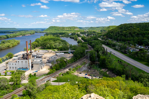
Aerial view of a cityscape of Red Wing, Minnesota, as seen from the Barn Bluff overlook hike. Taken in late spring, view of Lake Pepin
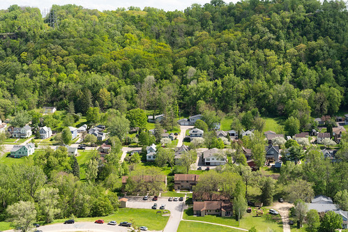
Aerial overhead view of a residential neighborhood in Red Wing Minnesota during the spring.

Red Wing, Minnesota - May 25, 2019: A couple of hikers sit on the Barn Bluff overlook trail to enjoy the view of the Mississippi River
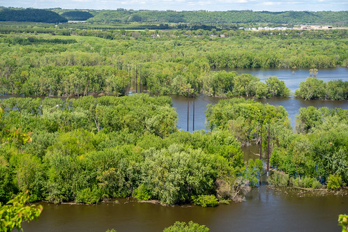
Beautiful view of the Mississippi River as seen from Red Wing Minnesota from the Barn Bluff hiking trail

Red Wing, Minnesota - May 25, 2019: Red Wing Generating Plant still bears the old NSP logo, despite the power plant currently operated by Xcel Energy
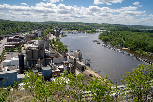
Cityscape view of Red Wing Minnesota, featuring the Mississippi River on a spring day. As seen from Barn Bluff hike

Eye Nouveau

controlled burn

Cityscape aerial view of Red Wing Minnesota business and commerical district, as seen from Barn Bluff trail

All By Myself

The Calligraphy Teacher

// Please take your seats.

Confucius - Red
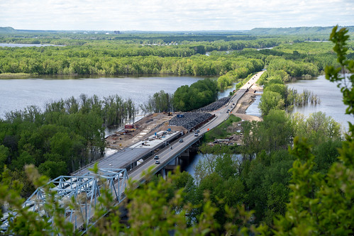
Aerial overhead view of the US Highway 63 bridge, crossing the Mississippi River, during a spring flooding.

Falconer Vineyards Maple Red

Found Object Sculpture
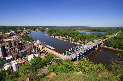
CP 580 with SOO GP's; Barn Bluff, Red Wing, MN
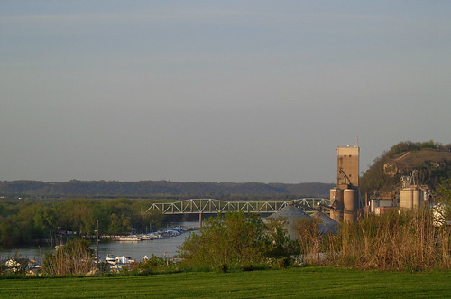
A different point of view

Chicago, Milwaukee, St. Paul & Pacific Railroad- Milwaukee Road, Minnesota, Red Wing

Chicago, Milwaukee, St. Paul & Pacific Railroad- Milwaukee Road, Minnesota, Red Wing (-3)
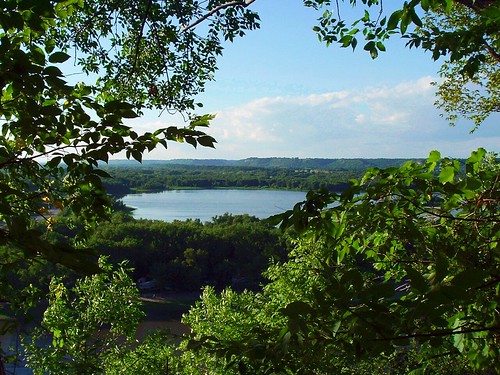
View from Barn Bluff

Tile Buffalo Tail, Bead and Fiber
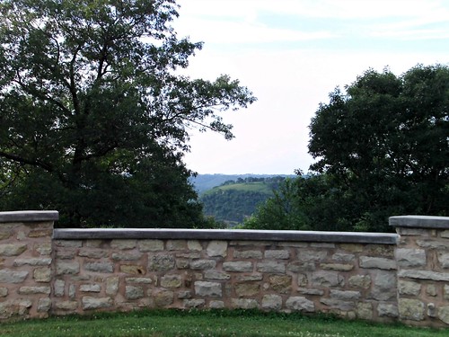
The view from Oakwood Cemetery
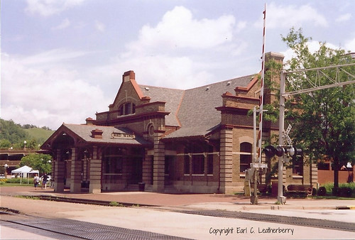
Chicago, Milwaukee, St. Paul & Pacific Railroad- Milwaukee Road, Minnesota, Red Wing (-2)

Untitled
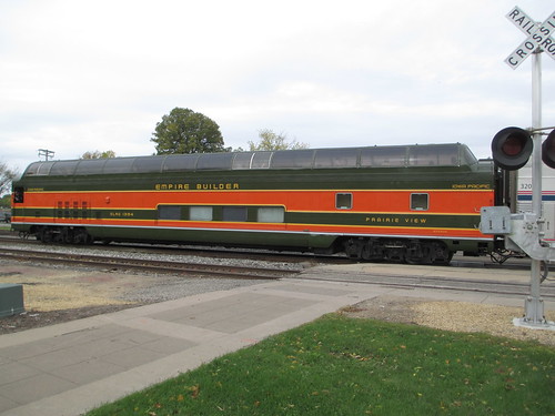
Empire Builder II
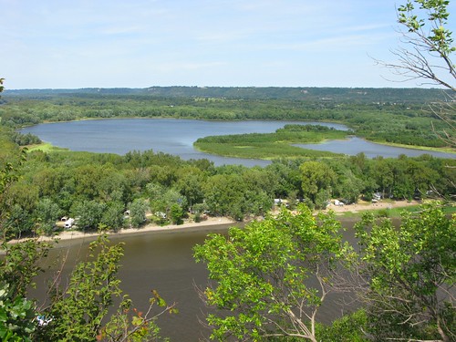
Mud Lake

Red Wing, Minnesota - May 25, 2019: Sign for the Barn Bluff trailhead, an overlook of the city and the Mississippi River

Strawberry and Blueberry Shake

Red Wing

Eisenhower Bridge
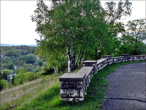
Stone Wall ...with a view.
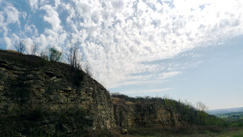
Hager City bluffs

Main Street Red Wing

E3_20140608_155304_0040_v01 .. Diamond Bluff WI

Red Wing Dusk