Elevation of N st St, Maiden Rock, WI, USA
Location: United States > Wisconsin > Pierce County > Maiden Rock >
Longitude: -92.358873
Latitude: 44.580253
Elevation: -10000m / -32808feet
Barometric Pressure: 295KPa
Elevation Map:
Satellite Map:
Related Photos:

Sorin's View

Formal Dining Room As Viewed From The Parlor

CP Holiday Train; Red Wing, MN

MOO Caboose

Aerial view of a cityscape of Red Wing, Minnesota, as seen from the Barn Bluff overlook hike. Taken in late spring, view of Lake Pepin

BNSF 2751 - 10/5/2003

Beautiful view of the Mississippi River as seen from Red Wing Minnesota from the Barn Bluff hiking trail

Aerial overhead view of a residential neighborhood in Red Wing Minnesota during the spring.

Mario Bros Cake

Beautiful view of the Mississippi River as seen from Red Wing Minnesota from the Barn Bluff hiking trail

Red Wing, Minnesota - May 25, 2019: A couple of hikers sit on the Barn Bluff overlook trail to enjoy the view of the Mississippi River

Cityscape aerial view of Red Wing Minnesota business and commerical district, as seen from Barn Bluff trail

Red Wing, Minnesota - May 25, 2019: Red Wing Generating Plant still bears the old NSP logo, despite the power plant currently operated by Xcel Energy

Cityscape view of Red Wing Minnesota, featuring the Mississippi River on a spring day. As seen from Barn Bluff hike

controlled burn

Aerial overhead view of the US Highway 63 bridge, crossing the Mississippi River, during a spring flooding.

Our Maiden Rock, WI house from BNSF mainline

// Please take your seats.

Great River Road Wisconsin
A different point of view

CP 580 with SOO GP's; Barn Bluff, Red Wing, MN

Lake Pepin View

Red Wing Dusk

Recollection is Foggy

Milky Way Through a Canopy of Trees

Barn Bluff in Red Wing. Possibly one of the nicest days of the year to enjoy its beauty. #christopherjfranklinphotography #onlyinmn #onlyinmn_statefair #capturemm #minnesota #mn #barnbluff #redwing #landscape #16x9 #16x9club

In Memory of Jerry Dooley (1939-2019)

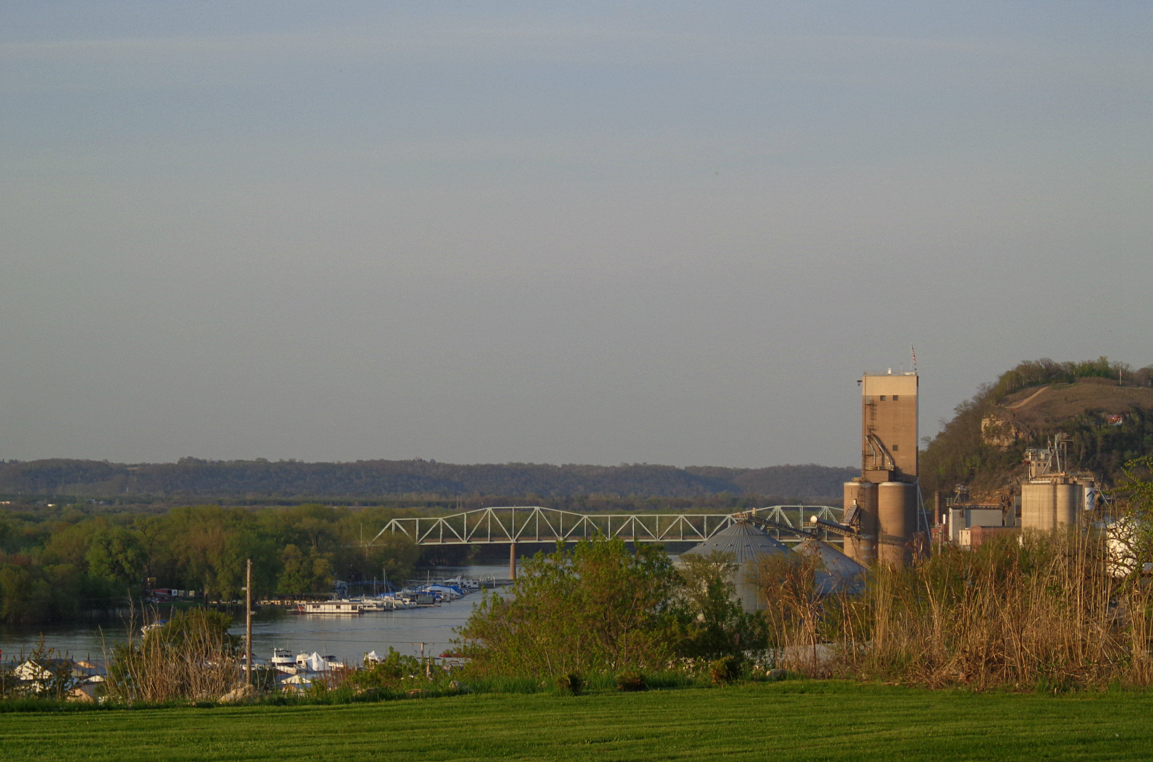
From across the Mississippi
// Remnants of a hard life.

Calvary Cemetery - Red Wing, Minnesota

In Yan Teopa Rock, Frontenac State Park #InYanTeopaRock #FrontenacStatePark #ChristopherJFranklinPhotography #rock #formation #limestone #geology #nature #scenery #OnlyinMN #MN #MNPhotographers #igers_minnesota #CaptureMN
Topographic Map of N st St, Maiden Rock, WI, USA
Find elevation by address:

Places near N st St, Maiden Rock, WI, USA:
N1036
WI-35, Bay City, WI, USA
Isabelle
Maiden Rock
29200 Westervelt Ave Way W
Frontenac
Florence Township
US-61, Red Wing, MN, USA
Bay City
Maiden Rock
W2686 390th Ave
1300 Central Point Rd
1200 Central Point Rd
Hay Creek Township
602 Willers Ct
Lake City
999 W Center St
905 W Marion St
Lake City, MN, USA
Pierce County
Recent Searches:
- Elevation of Corso Fratelli Cairoli, 35, Macerata MC, Italy
- Elevation of Tallevast Rd, Sarasota, FL, USA
- Elevation of 4th St E, Sonoma, CA, USA
- Elevation of Black Hollow Rd, Pennsdale, PA, USA
- Elevation of Oakland Ave, Williamsport, PA, USA
- Elevation of Pedrógão Grande, Portugal
- Elevation of Klee Dr, Martinsburg, WV, USA
- Elevation of Via Roma, Pieranica CR, Italy
- Elevation of Tavkvetili Mountain, Georgia
- Elevation of Hartfords Bluff Cir, Mt Pleasant, SC, USA